2010s Maps of Jefferson County, New York
Explore 166 historic maps of Jefferson County from the 2010s. These maps offer a rare glimpse into what life looked like during the 2010s — showing old roads, neighborhoods, homes, and landmarks that have changed or disappeared over time.
Whether you're researching your family's past, planning a metal detecting trip, or studying how Jefferson County's landscape evolved across the 2010s, these high-resolution maps are a powerful tool for exploring the history of this region.
- Focus on a specific era: All maps on this page are from the 2010s, giving you a focused view of this time period.
- See what’s changed: Compare century-old streets, trails, and buildings to today's modern landscape using overlays and satellite layers.
- Research with precision: Use these maps for genealogy, historical research, land use analysis, or educational projects.
- View, download, or print: Maps are fully viewable online in high resolution, and can be downloaded or printed for your own records.
Start exploring Jefferson County's history through authentic maps from the 2010s. This is your window into the past.
Jefferson County, NY maps
(166)- 2010 Map of Cape Vincent South, 2010 Print
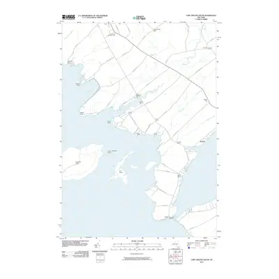 2010 Cape Vincent South2010 Print · USGSCape Vincent and the Thousand Islands region are shown here in the early twenty-first century, detailed with maritime landmarks and shoreline settlements. Local researchers can trace family lands near Bedford Corners or locate the Cape Vincent Breakwater Light and Saint Vincent de Paul Cemetery.
 - 2010 Map of Clayton, 2010 Print
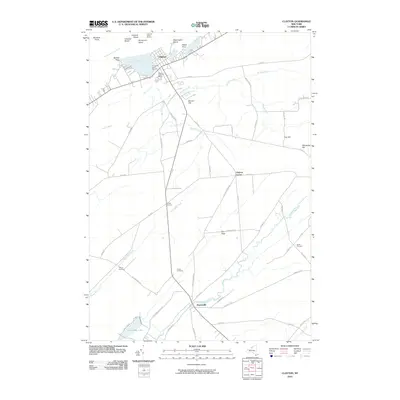 2010 Clayton2010 Print · USGSThe Thousand Islands shoreline and the Chaumont River valley define this landscape in the early 2000s. Genealogists can trace family footprints at Dutch Cemetery or Weaver Cemetery, and explore the villages of Clayton and Depauville.
 - 2010 Map of Sandy Creek, 2010 Print
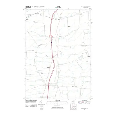 2010 Sandy Creek2010 Print · USGSThe villages of Sandy Creek and Lacona are shown alongside their neighboring rural hamlets during the early twenty-first century. Researchers can locate several burial grounds including Union and Wesleyan Cemetery, or trace the winding course of Skinner Creek.
 - 2010 Map of Ellisburg, 2010 Print
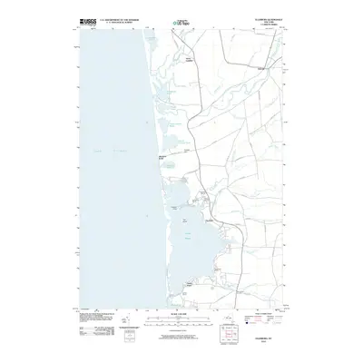 2010 Ellisburg2010 Print · USGSThe Lake Ontario shoreline near Oswego County comes alive in this 2010 survey of coastal ponds and small settlements. Researchers can trace the waterfront culture through Freemans Marina and historic locations like Ellisburg and Montario Point.
 - 2010 Map of Boylston Center, 2010 Print
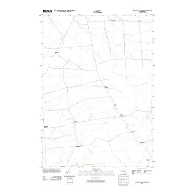 2010 Boylston Center2010 Print · USGSThe rural crossroads of northern New York are mapped here in the early twenty-first century, showing a landscape of small hamlets and winding waterways. Researchers can locate family sites near Saint Josephs Cemetery, Smartville, and the remote Tamarack Swamp.
 - 2010 Map of Worth Center, 2010 Print
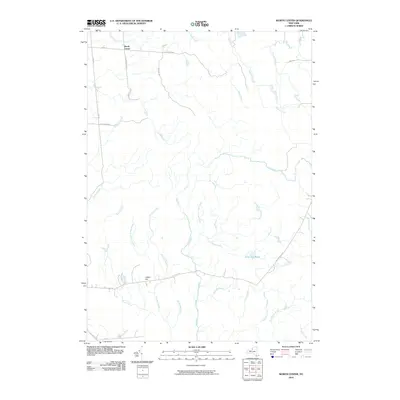 2010 Worth Center2010 Print · USGSThe northern New York woods around Redfield and Oswego County appear here as they stood in 2010. Local historians and hunters can trace the many watercourses of the Mad River and Big Brook or locate high ground at Castor Hill near Alder Bed Pond.
 - 2010 Map of La Fargeville, 2010 Print
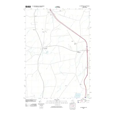 2010 La Fargeville2010 Print · USGSJefferson County agricultural land and small rural hubs are captured here in the early twenty-first century. Genealogists and local historians can trace family-named sites like Barlows Corners, Saint Johns Cemetery, and Beech Ridge Cemetery.
 - 2010 Map of Philadelphia, 2010 Print
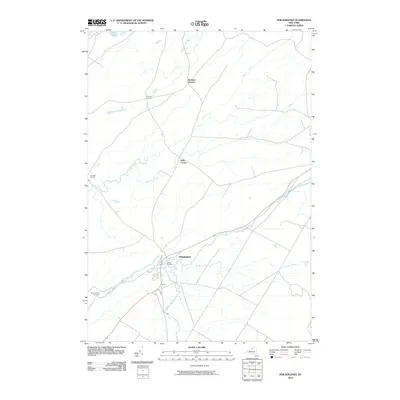 2010 Philadelphia2010 Print · USGSPhiladelphia and the surrounding Wilna countryside are documented here in the early 21st century as the Indian River continues to shape the local landscape. Researchers can locate family landmarks at Bishops Corners and Bentleys Corners, or trace local roots at Quaker Cemetery.
 - 2010 Map of Adams, 2010 Print
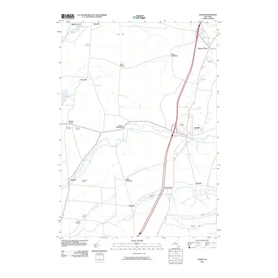 2010 Adams2010 Print · USGSJefferson County settlement patterns are preserved here as they appeared in the early 2000s, showing a landscape defined by family settlements and rural hamlets. Genealogists can trace local heritage through several burial grounds like Union Cemetery and Grow Cemetery, or locate vanished nodes such as Giddingsville.
 - 2010 Map of Natural Dam, 2010 Print
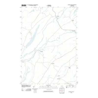 2010 Natural Dam2010 Print · USGSSaint Lawrence County at the start of the 2010s is defined by the winding Oswegatchie River and its riverside hamlets. Researchers can trace the rural layout of historic settlements like Natural Dam, Wegatchie, and Oxbow.
 - 2010 Map of Antwerp, 2010 Print
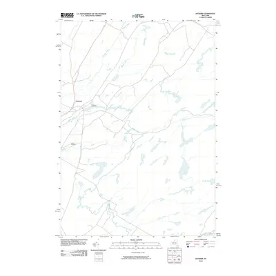 2010 Antwerp2010 Print · USGSAntwerp and the Jefferson County countryside are captured here in the early twenty-first century, centered on the Indian River. Genealogists and local historians can trace the village streets to Hillside Cemetery or follow rural waterways like Matoon Creek and Dority Pond.
 - 2010 Map of Muskellunge Lake, 2010 Print
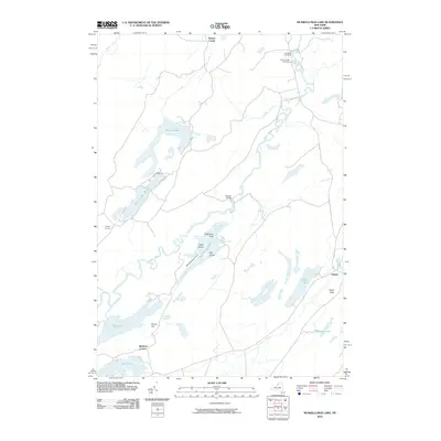 2010 Muskellunge Lake2010 Print · USGSIn the early twenty-first century, this northern New York landscape remains a network of glacial lakes and quiet rural crossroads. Researchers can trace historic family burial sites at Saint Patricks Cemetery or locate old community hubs like Oxbow and Nelson Corner.
 - 2010 Map of North Wilna, 2010 Print
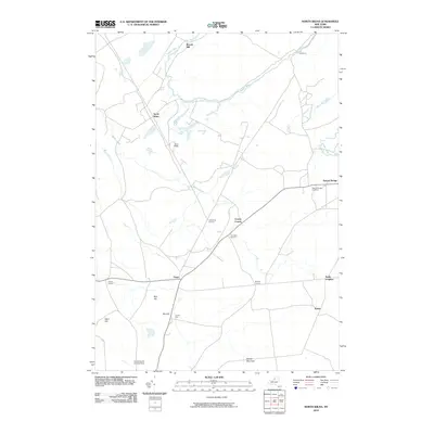 2010 North Wilna2010 Print · USGSWilna and the surrounding North Country highlands are documented here during the early twenty-first century. Genealogists and local historians can trace family-named crossroads like Cowan Corner and Devoice Corners or locate the historic Woods Mill and Natural Bridge Cemetery.
 - 2010 Map of Redwood, 2010 Print
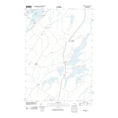 2010 Redwood2010 Print · USGSThe Thousand Islands region and Jefferson County's lake country are captured here during the early twenty-first century. Genealogists can locate family landmarks like Barnes Cemetery or trace old rural hubs such as Plessis and Redwood.
 - 2010 Map of Lake Bonaparte, 2010 Print
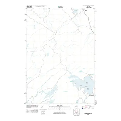 2010 Lake Bonaparte2010 Print · USGSSaint Lawrence County at the dawn of the 21st century reveals a landscape defined by its intricate waterways and rural crossroads. Local historians can trace the points and bays of Lake Bonaparte, find the settlement at Balmat, or explore the routes through Rices Corners.
 - 2010 Map of Natural Bridge, 2010 Print
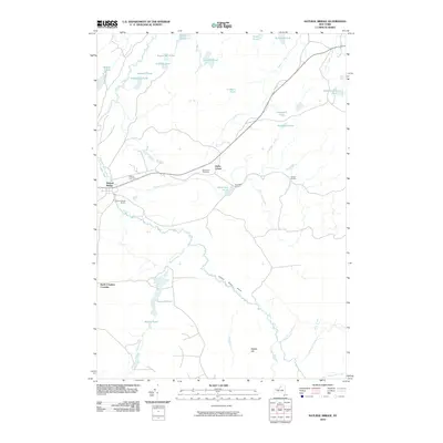 2010 Natural Bridge2010 Print · USGSIn the early twenty-first century, this Jefferson County landscape remains defined by the winding Indian River and its rural hamlets. Researchers can trace local history at Hillside Cemetery, locate the old Natural Bridge Station, and explore family-named landmarks like Blanchard Corners.
 - 2010 Map of Black River, 2010 Print
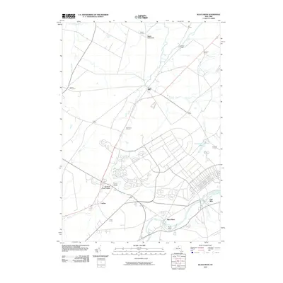 2010 Black River2010 Print · USGSJefferson County’s river valleys and historic crossroads are captured here just before the turn of the decade. Genealogists and local historians can trace family sites at Hoover Cemetery, the grounds of the Leray Mansion, or the early settlement at Dutch Settlement.
 - 2010 Map of Rodman, 2010 Print
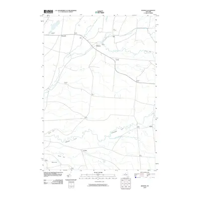 2010 Rodman2010 Print · USGSThe rural uplands of Jefferson County appear in the early 21st century as a landscape of small hamlets and deep ravines. Researchers can trace family history through numerous crossroads and burial sites like Whitford Corners, Isham Cemetery, and Thompson Cemetery.
 - 2010 Map of Watertown, 2010 Print
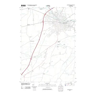 2010 Watertown2010 Print · USGSWatertown and the winding Black River are captured here in the early twenty-first century, showing the city's expansion and industrial legacy. Researchers can locate numerous local burial grounds like Brookside Cemetery or trace landmarks such as Talcott Falls and Massey Yard.
 - 2010 Map of Copenhagen, 2010 Print
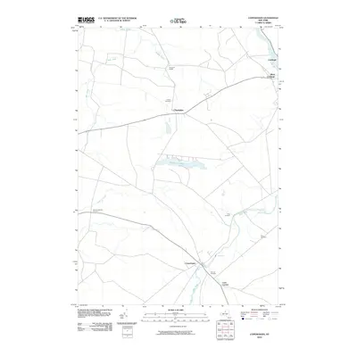 2010 Copenhagen2010 Print · USGSSettlements along the Black River valley and Deer River come into sharp focus in this early twenty-first century survey. Researchers can locate family burial plots at Hillside Cemetery and Plank Cemetery, or trace the rural landscapes of Champion Huddle and Copenhagen.
 - 2010 Map of Rutland Center, 2010 Print
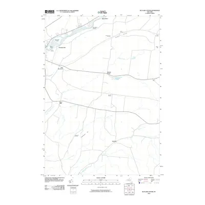 2010 Rutland Center2010 Print · USGSJefferson County during the early twenty-first century reveals a landscape of enduring rural hamlets and upland cemeteries. Genealogists and historians can trace lineage and settlement patterns through landmarks like Calvary Cemetery, Burrs Mills, and Harpers Ferry.
 - 2010 Map of Dexter, 2010 Print
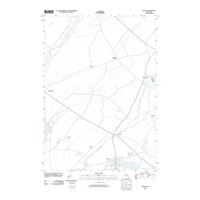 2010 Dexter2010 Print · USGSJefferson County's river-fed landscapes are captured here during the first decade of the millennium. Researchers can locate family landmarks such as Freeman Cemetery, trace the path of the Perch River, or study the layouts of Dexter and Limerick.
 - 2010 Map of Carthage, 2010 Print
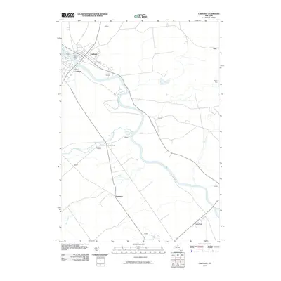 2010 Carthage2010 Print · USGSWilna and the Black River valley are shown here at the start of the 2010s, centering on the important river towns of Carthage and West Carthage. Researchers can trace family history through numerous local sites like Fairview Cemetery or explore the smaller outposts of Deer River Station and Castorland.
 - 2010 Map of Henderson, 2010 Print
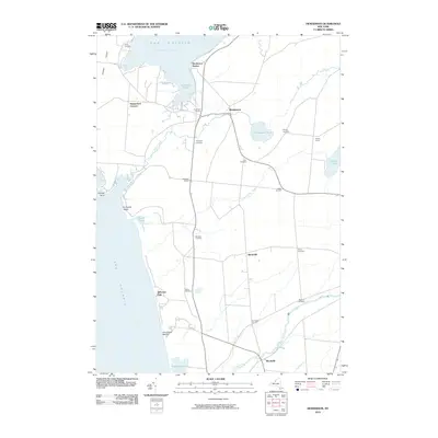 2010 Henderson2010 Print · USGSThe eastern shore of Lake Ontario comes alive in this 2010 survey of Jefferson County coastal communities and rural crossroads. Local historians can trace family-named landmarks and hamlets like Hungerford Corners, find ancestral sites at Stowles Cemetery, and explore the waterfronts of Henderson Harbor.
 - 2010 Map of Sackets Harbor, 2010 Print
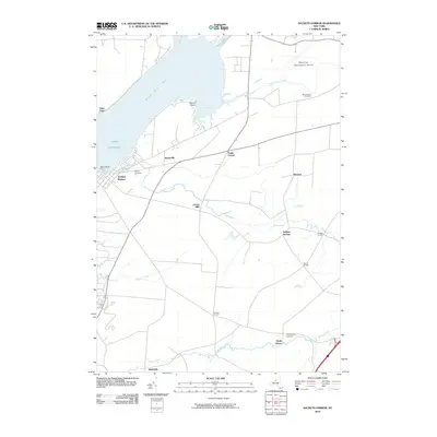 2010 Sackets Harbor2010 Print · USGSThe Jefferson County coast at Sackets Harbor is documented here in the early twenty-first century as it borders Black River Bay. Researchers can find family landmarks at Stowell Corners, Sulphur Springs, and the Military Cemetery near the lakefront.
Showing maps 1-25 of 166
Top cities of Jefferson County
- Le Ray historical maps
- Watertown historical maps
- Watertown historical maps
- Brownville historical maps
- Wilna historical maps
- Adams historical maps
See more
Frequently asked questions
- What are the different types of historical maps available for Jefferson County?
- What is the oldest map of Jefferson County?
- Where can I purchase historical maps of Jefferson County for my home or office?
- Where can I download high-res historical maps of Jefferson County?
- Are there historical topographic maps available for Jefferson County?
- Is there historical aerial imagery available for Jefferson County?
- Where are historical maps of Jefferson County sourced from?