Old Maps of Fineview, Orleans for Metal Detecting
Plan your next treasure hunt with 10 historic maps of Fineview. Find old homesites, ghost towns, trails, and gathering spots that may be lost to time — perfect for identifying promising metal detecting locations.
- Locate forgotten sites: Uncover places like long-lost settlements, abandoned rail lines, or gathering spots.
- Plan better hunts: Use map overlays combined with LiDAR or satellite views to narrow in on historically rich areas.
- Made for detectorists: Thousands of hobbyists use these maps to discover relics, coins, and hidden history.
Use these historic maps to boost your research and find new opportunities beneath the surface of Fineview.
Fineview, Orleans maps
(10)- 1903 Map of Grindstone
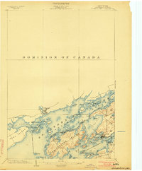 1903 Grindstone1903 Print · USGSThe Thousand Islands at the turn of the century are captured here along the international border as steamboat traffic flourished. Genealogists and historians can trace old resort landings like Thousand Island Park and Fineview or locate several distinct river beacons including Rock I. L.H. and Lindoe L.H..4 unique versions available
 - 1943 Map of Thousand Island Park
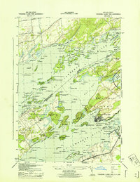 1943 Thousand Island Park1943 Print · USGSThe Thousand Islands region along the New York-Ontario border is captured here during the 1940s, showing the intricate island communities of the St. Lawrence River. Trace local history through landmark schools like Spicer Bay Sch and the distinct landings of Grindstone Island.
 - 1954 Map of Kingston
 1954 Kingston1954 Print · USGSThe international border at the head of the St. Lawrence comes alive in the mid-fifties, showing the interconnected rail and river systems of Ontario and New York. Trace historical routes like the Canadian National RR or find local landmarks such as Thousand Island Park and Tyendinaga Ind. Res.4 unique versions available
 - 1958 Map of Thousand Island Park, 1960 Print
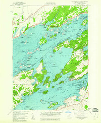 1958 Thousand Island Park1960 Print · USGSThe St. Lawrence River archipelago is captured here in the late fifties, showing the international boundary winding through the islands. Researchers can trace historic riverfront communities like Thousand Island Park or locate the Quarries and remote Cem on GRINDSTONE ISLAND.3 unique versions available
 - 1985 Map of Cape Vincent
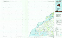 1985 Cape Vincent1985 Print · USGSThe Thousand Islands and the Jefferson County shoreline are documented in the mid-1980s as the river meets the lake. Genealogists and local historians can trace an Old Railroad Grade and explore settlements like Cape Vincent, Clayton, and Rosiere.2 unique versions available
 - 2011 Map of Thousand Island Park, 2011 Print
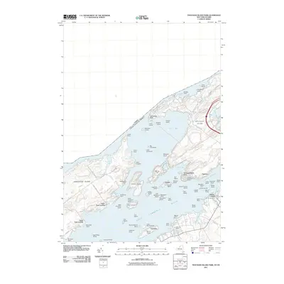 2011 Thousand Island Park2011 Print · USGSCovers Fineview, including Leeds and the Thousand Islands, Clayton, and other nearby areas
 - 2013 Map of Thousand Island Park, 2013 Print
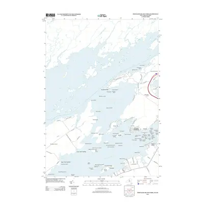 2013 Thousand Island Park2013 Print · USGSCovers Fineview, including Leeds and the Thousand Islands, Clayton, and other nearby areas
 - 2016 Map of Thousand Island Park, 2016 Print
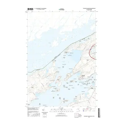 2016 Thousand Island Park2016 Print · USGSCovers Fineview, including Leeds and the Thousand Islands, Clayton, and other nearby areas
 - 2019 Map of Thousand Island Park, 2019 Print
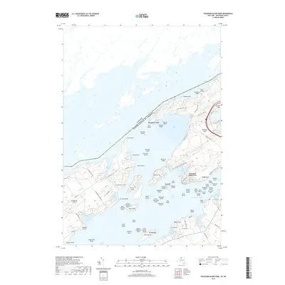 2019 Thousand Island Park2019 Print · USGSCovers Fineview, including Leeds and the Thousand Islands, Clayton, and other nearby areas
 - 2023 Map of Thousand Island Park, 2023 Print
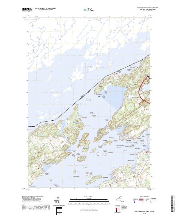 2023 Thousand Island Park2023 Print · USGSThe Thousand Islands archipelago at the modern international border reveals a landscape defined by island resorts and state parks. Genealogists can trace property lines and landing sites near Thousand Island Park, Fineview, and Grindstone Island.
End of results
Showing maps 1-10 of 10
Top cities near Fineview
- Le Ray historical maps
- Brownville historical maps
- Clayton historical maps
- Alexandria historical maps
- Calcium historical maps
- Pamelia historical maps
See more
Frequently asked questions
- What are the different types of historical maps available for Fineview?
- What is the oldest map of Fineview?
- Where can I purchase historical maps of Fineview for my home or office?
- Where can I download high-res historical maps of Fineview?
- Are there historical topographic maps available for Fineview?
- Is there historical aerial imagery available for Fineview?
- Where are historical maps of Fineview sourced from?