2010s Maps of West Turin, New York
Explore 36 historic maps of West Turin from the 2010s. These maps offer a rare glimpse into what life looked like during the 2010s — showing old roads, neighborhoods, homes, and landmarks that have changed or disappeared over time.
Whether you're researching your family's past, planning a metal detecting trip, or studying how West Turin's landscape evolved across the 2010s, these high-resolution maps are a powerful tool for exploring the history of this region.
- Focus on a specific era: All maps on this page are from the 2010s, giving you a focused view of this time period.
- See what’s changed: Compare century-old streets, trails, and buildings to today's modern landscape using overlays and satellite layers.
- Research with precision: Use these maps for genealogy, historical research, land use analysis, or educational projects.
- View, download, or print: Maps are fully viewable online in high resolution, and can be downloaded or printed for your own records.
Start exploring West Turin's history through authentic maps from the 2010s. This is your window into the past.
West Turin, NY maps
(36)- 2010 Map of High Market, 2010 Print
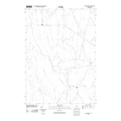 2010 High Market2010 Print · USGSIn this 2010 survey of West Turin, the Tug Hill Plateau's intricate network of headwaters and rural crossroads is captured in fine detail. Genealogists and historians can trace the settlement patterns of Michigan Mills, Fish Creek, and Byron Corners alongside the banks of the East Branch Fish Creek.
 - 2010 Map of Page, 2010 Print
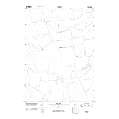 2010 Page2010 Print · USGSLewis County uplands in the early twenty-first century are defined by their remote hamlets and complex creek systems. Researchers can trace local genealogy and land use through named crossroads like McGraw Corners and Graves Corners or explore the headwaters of North Branch Fish Creek.
 - 2010 Map of Sears Pond, 2010 Print
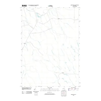 2010 Sears Pond2010 Print · USGSUpper Lewis County at the start of the 2010s reveals a quiet landscape of remote crossroads and extensive river systems. Genealogists and local historians can locate the small communities of Monteola, Hooker, and Parkers while tracing the banks of the Mad River and Sears Pond.
 - 2010 Map of West Leyden, 2010 Print
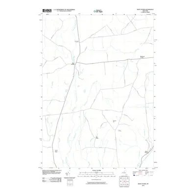 2010 West Leyden2010 Print · USGSWest Leyden and the upper reaches of the East Branch Mohawk River are shown here in the early twenty-first century. Researchers can trace rural lineages at West Leyden Cemetery or locate the small settlements of Flint Town and Redmond Corner.
 - 2010 Map of Glenfield, 2010 Print
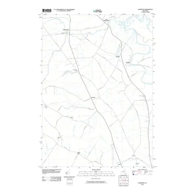 2010 Glenfield2010 Print · USGSThe Lewis County countryside unfolds during the early 2000s, from the steep ravines of the Tug Hill plateau to the Black River valley. Researchers can trace ancestral roots at Old Martinsburg Cemetery and explore the gorge at Whetstone Gulf State Park.
 - 2010 Map of Constableville, 2010 Print
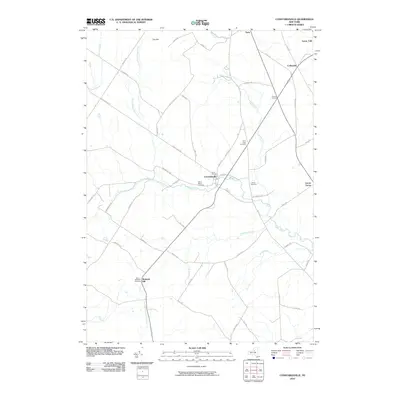 2010 Constableville2010 Print · USGSConstableville and the surrounding Lewis County highlands are shown here in the early twenty-first century as the landscape transitions from the Tug Hill plateau. Researchers can locate family heritage sites at Saint Michaels Cemetery and trace the paths of the Sugar River and East Branch Mohawk River.
 - 2010 Map of Port Leyden, 2010 Print
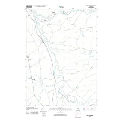 2010 Port Leyden2010 Print · USGSThe river valleys of northern Oneida and Lewis Counties are captured here just after the turn of the millennium. Genealogists and local historians can trace the rural hamlets of Talcottville and Shuetown, or locate landmarks like Goulds Mill and Wildwood Cemetery.
 - 2010 Map of Brantingham, 2010 Print
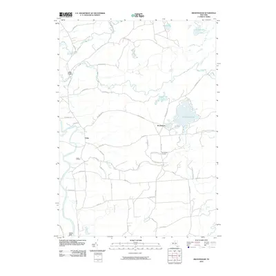 2010 Brantingham2010 Print · USGSThe western Adirondack foothills and the Black River valley are shown here in the years before the modern era. Researchers can locate family sites near Brantingham Cemetery, trace the course of the Independence River, or study the settlement at Greig.
 - 2010 Map of North Osceola, 2010 Print
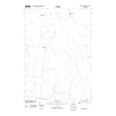 2010 North Osceola2010 Print · USGSUpper Lewis County at the start of the 2010s reveals a landscape shaped by its river forks and early rail legacy. Genealogists and historians can trace local landmarks like Wards Hill and the former rail junctions at New Campbellwood Wye and Old Campbellwood Wye.
 - 2013 Map of Constableville, 2013 Print
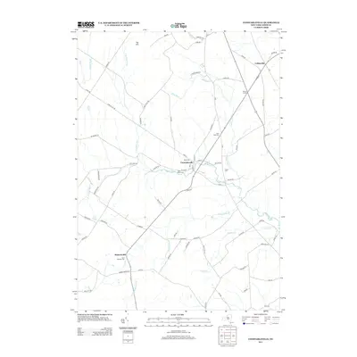 2013 Constableville2013 Print · USGSConstableville and the surrounding Lewis County countryside are captured here in the early twenty-first century. Genealogists and local historians can trace family plots at Saint Marys Cem, Collins Cem, and Saint Michaels Cem or follow the waters of the Sugar River.
 - 2013 Map of Sears Pond, 2013 Print
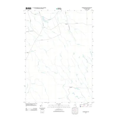 2013 Sears Pond2013 Print · USGSThis early twenty-first-century survey of the Tug Hill region shows a landscape dominated by the headwaters of the Deer River and Mad River. Genealogists and local historians can trace the remote settlements of Hooker and Parkers alongside landmarks like Sears Pond.
 - 2013 Map of High Market, 2013 Print
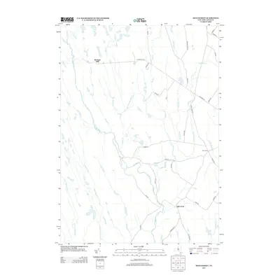 2013 High Market2013 Print · USGSWest Turin and the surrounding Tug Hill uplands appear here in the early 2010s, showing a landscape defined by its complex network of cold-water streams. You can trace the rural road system through Michigan Mills and Byron Corners, or follow the remote Mcgoldrick Trk Trl through the headwaters of the E Br Fish Cr.
 - 2013 Map of Page, 2013 Print
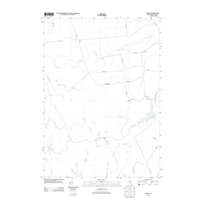 2013 Page2013 Print · USGSThe Tug Hill region of Lewis County is revealed in this early twenty-first-century survey, detailing the rural crossroads and watershed patterns of the area. Genealogists and local historians can trace the roads connecting Wetmore, Page, and Graves Corners while navigating the various branches of Roaring Brook.
 - 2013 Map of North Osceola, 2013 Print
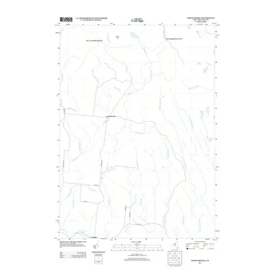 2013 North Osceola2013 Print · USGSLewis County's Tug Hill region is shown here in the early twenty-first century, featuring a landscape defined by the Salmon River and remote crossroads settlements. Researchers can trace historical logging footprints at New Campbellwood Wye or explore the rural routes near North Osceola.
 - 2013 Map of West Leyden, 2013 Print
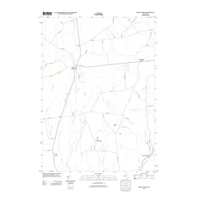 2013 West Leyden2013 Print · USGSOneida County's rural uplands are shown in detail during the early 2010s, centered on the headwaters of the Mohawk. Local historians can trace the legacy of hamlets like Flint Town and Redmond Corner or locate the historic Black River Canal.
 - 2013 Map of Brantingham, 2013 Print
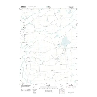 2013 Brantingham2013 Print · USGSBrantingham and the Black River valley appear here in the early twenty-first century as the landscape transitions into the Adirondacks. Researchers can trace rural cemeteries and water-powered history along the Independence River and locate local landmarks like Sands Cem and Brantingham Lake.
 - 2013 Map of Glenfield, 2013 Print
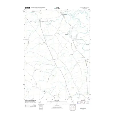 2013 Glenfield2013 Print · USGSLewis County's river valley and plateau edges are captured here in the early twenty-first century, showing the enduring rural character of the region. Researchers can trace family sites at Old Martinsburg Cem or explore the unique geography of Whetstone Gulf and Deerlick Rock.
 - 2013 Map of Port Leyden, 2013 Print
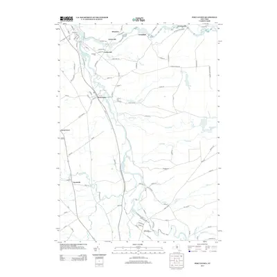 2013 Port Leyden2013 Print · USGSPort Leyden and the surrounding river hamlets are captured here at the start of the 2010s. Researchers can trace family roots through Wildwood Cem and Leyden Hill Cem, or explore the historic water power sites along the Black River and Moose River.
 - 2016 Map of Sears Pond, 2016 Print
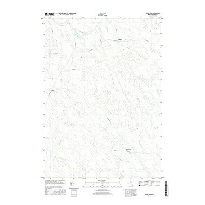 2016 Sears Pond2016 Print · USGSThe Tug Hill plateau of Lewis County is revealed in the mid-2010s, showing a landscape of remote settlements and dense drainage networks. Researchers can trace the path of former industry along Railroad Bed Rd or locate the small communities of Monteola and Hooker.
 - 2016 Map of High Market, 2016 Print
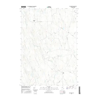 2016 High Market2016 Print · USGSThe Tug Hill plateau in the mid-2010s remains a landscape of dense water networks and quiet settlements. Local historians can trace the remote roads and drainage patterns around Michigan Mills, High Market, and the East Branch Fish Creek.
 - 2016 Map of North Osceola, 2016 Print
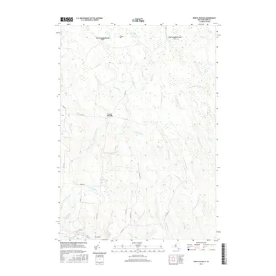 2016 North Osceola2016 Print · USGSThis Lewis County wilderness in the mid-2010s reveals a landscape shaped by the Salmon River and its many forks. Genealogists and historians can trace the development of Osceola and North Osceola or locate the unique rail-era footprints at Old Campbellwood Wye.
 - 2016 Map of West Leyden, 2016 Print
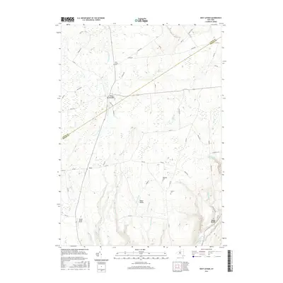 2016 West Leyden2016 Print · USGSOneida and Lewis counties meet in this central New York landscape during the twenty-first century, where the headwaters of the Mohawk River flow through quiet rural townships. Genealogists can trace family footprints at the West Leyden Cem and Thorton Cem or locate former homesteads near Flint Town.
 - 2016 Map of Brantingham, 2016 Print
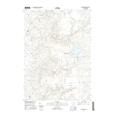 2016 Brantingham2016 Print · USGSLewis County at the edge of the Adirondacks features a landscape of river valleys and glacial lakes. Researchers can trace local heritage at Brantingham Lake and Lyons Falls, or locate family sites at Sands Cem and Brantingham Cem.
 - 2016 Map of Constableville, 2016 Print
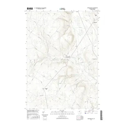 2016 Constableville2016 Print · USGSLewis County at the edge of the Tug Hill plateau comes into sharp focus in this mid-2010s survey. Genealogists and researchers can trace lineage through several local landmarks like Rural Cem, Collins Cem, and the settlement of Mohawk Hill.
 - 2016 Map of Glenfield, 2016 Print
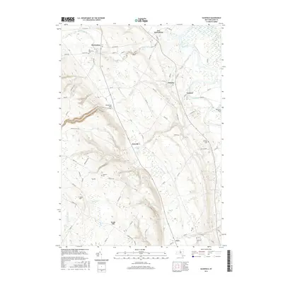 2016 Glenfield2016 Print · USGSLewis County's transition from the heights of Tug Hill to the Black River valley is captured here in the mid-2010s. Researchers can locate several historic burial grounds like Old Martinsburg Cem and Burdicks Crossing Cem, or trace the dramatic geography of Whetstone Gulf State Park.
Showing maps 1-25 of 36
Top cities near West Turin
- Lee historical maps
- Lowville historical maps
- Camden historical maps
- Boonville historical maps
- Lowville historical maps
- New Bremen historical maps
See more
Top neighborhoods of West Turin
- Page historical maps
- Collinsville historical maps
- Mohawk Hill historical maps
- Michigan Mills historical maps
- Constableville historical maps
Frequently asked questions
- What are the different types of historical maps available for West Turin?
- What is the oldest map of West Turin?
- Where can I purchase historical maps of West Turin for my home or office?
- Where can I download high-res historical maps of West Turin?
- Are there historical topographic maps available for West Turin?
- Is there historical aerial imagery available for West Turin?
- Where are historical maps of West Turin sourced from?