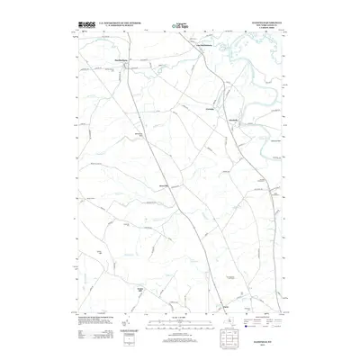
2013 Map of Glenfield
USGS Topo · Published 2013About this map
Black River and Independence River converge in this section of Lewis County, defining a landscape of river-bottom agricultural land and sharp upland drainages. The area is anchored by the village of Turin in the south and Martinsburg in the northwest, with the smaller settlements of Glenfield, Glendale, and Houseville spaced along the valley floor. The geography is notable for its "gulfs" — steep-walled ravines like Whetstone Gulf and Houseville Gulf — that cut through the Tug Hill plateau's eastern edge toward the river valley below.
Find a feature on this map
83 named features on this map. Tap any name to fly to it.
Don’t see what you’re looking for? This feature index may not catch every label — zoom into the map to look around manually.
Map Details
Editions of this 2013 Glenfield Map
This is the sole edition of this map. No revisions or reprints were ever made.
Other maps of this area

1902 · Carthage
USGS Topo · 1:62,500

1904 · Carthage
USGS Topo · 1:62,500

1905 · Port Leyden
USGS Topo · 1:62,500

1906 · Highmarket
USGS Topo · 1:62,500

1907 · Port Leyden
USGS Topo · 1:62,500

1911 · Lowville
USGS Topo · 1:62,500

1913 · Lowville
USGS Topo · 1:62,500

1940 · Port Leyden
USGS Topo · 1:62,500

1943 · West Lowville
USGS Topo · 1:31,680

1943 · High Market
USGS Topo · 1:24,000