2000s (21st Century) Maps of Florida, New York
Explore 25 historic maps of Florida from the 2000s (21st Century). These maps offer a rare glimpse into what life looked like during the 2000s — showing old roads, neighborhoods, homes, and landmarks that have changed or disappeared over time.
Whether you're researching your family's past, planning a metal detecting trip, or studying how Florida's landscape evolved across the 2000s, these high-resolution maps are a powerful tool for exploring the history of this region.
- Focus on a specific era: All maps on this page are from the 2000s, giving you a focused view of this time period.
- See what’s changed: Compare century-old streets, trails, and buildings to today's modern landscape using overlays and satellite layers.
- Research with precision: Use these maps for genealogy, historical research, land use analysis, or educational projects.
- View, download, or print: Maps are fully viewable online in high resolution, and can be downloaded or printed for your own records.
Start exploring Florida's history through authentic maps from the 2000s. This is your window into the past.
Florida, NY maps
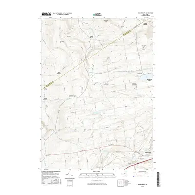
(25)- 2010 Map of Pattersonville, 2010 Print
 2010 Pattersonville2010 Print · USGSCovers Florida, including Rotterdam, Glenville, and other nearby areas
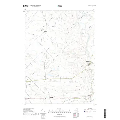
 - 2010 Map of Esperance, 2010 Print
 2010 Esperance2010 Print · USGSCovers Florida, including Duanesburg, Glen, and other nearby areas
 - 2010 Map of Duanesburg, 2010 Print
 2010 Duanesburg2010 Print · USGSCovers Florida, including Duanesburg, Esperance, and other nearby areas
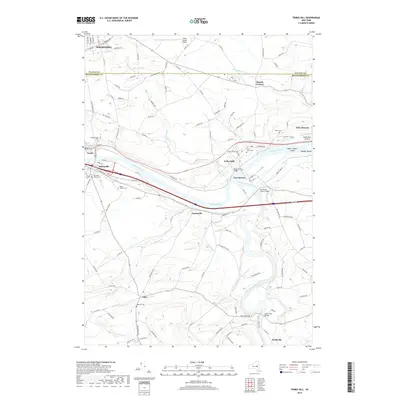
 - 2010 Map of Tribes Hill, 2010 Print
 2010 Tribes Hill2010 Print · USGSCovers Florida, including Johnstown, Johnstown, and other nearby areas
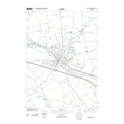
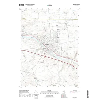
 - 2010 Map of Amsterdam, 2010 Print
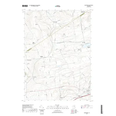
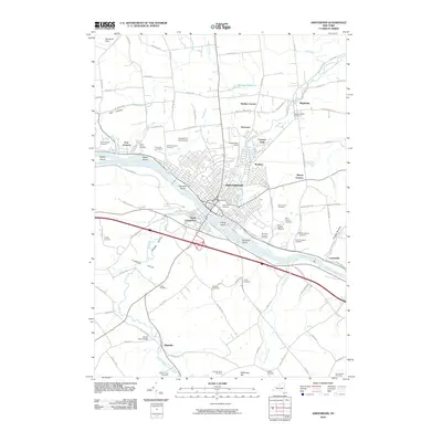 2010 Amsterdam2010 Print · USGSCovers Florida, including Amsterdam, Duanesburg, and other nearby areas
 - 2013 Map of Tribes Hill, 2013 Print
 2013 Tribes Hill2013 Print · USGSCovers Florida, including Johnstown, Johnstown, and other nearby areas
 - 2013 Map of Pattersonville, 2013 Print
 2013 Pattersonville2013 Print · USGSCovers Florida, including Rotterdam, Glenville, and other nearby areas
 - 2013 Map of Duanesburg, 2013 Print
 2013 Duanesburg2013 Print · USGSCovers Florida, including Duanesburg, Esperance, and other nearby areas
 - 2013 Map of Amsterdam, 2013 Print
 2013 Amsterdam2013 Print · USGSCovers Florida, including Amsterdam, Duanesburg, and other nearby areas
 - 2013 Map of Esperance, 2013 Print
 2013 Esperance2013 Print · USGSCovers Florida, including Duanesburg, Glen, and other nearby areas
 - 2016 Map of Pattersonville, 2016 Print
 2016 Pattersonville2016 Print · USGSCovers Florida, including Rotterdam, Glenville, and other nearby areas
 - 2016 Map of Esperance, 2016 Print
 2016 Esperance2016 Print · USGSCovers Florida, including Duanesburg, Glen, and other nearby areas
 - 2016 Map of Amsterdam, 2016 Print
 2016 Amsterdam2016 Print · USGSCovers Florida, including Amsterdam, Duanesburg, and other nearby areas
 - 2016 Map of Duanesburg, 2016 Print
 2016 Duanesburg2016 Print · USGSCovers Florida, including Duanesburg, Esperance, and other nearby areas
 - 2016 Map of Tribes Hill, 2016 Print
 2016 Tribes Hill2016 Print · USGSCovers Florida, including Johnstown, Johnstown, and other nearby areas
 - 2019 Map of Duanesburg, 2019 Print
 2019 Duanesburg2019 Print · USGSCovers Florida, including Duanesburg, Esperance, and other nearby areas
 - 2019 Map of Pattersonville, 2019 Print
 2019 Pattersonville2019 Print · USGSCovers Florida, including Rotterdam, Glenville, and other nearby areas
 - 2019 Map of Amsterdam, 2019 Print
 2019 Amsterdam2019 Print · USGSCovers Florida, including Amsterdam, Duanesburg, and other nearby areas
 - 2019 Map of Esperance, 2019 Print
 2019 Esperance2019 Print · USGSCovers Florida, including Duanesburg, Glen, and other nearby areas
 - 2019 Map of Tribes Hill, 2019 Print
 2019 Tribes Hill2019 Print · USGSCovers Florida, including Johnstown, Johnstown, and other nearby areas
 - 2023 Map of Tribes Hill, 2023 Print
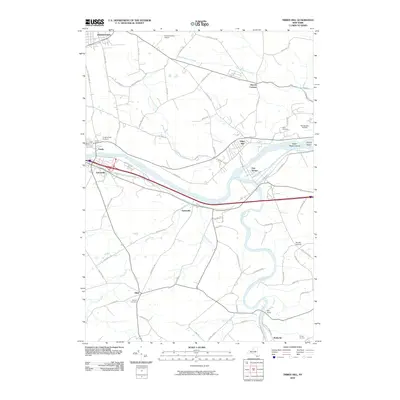
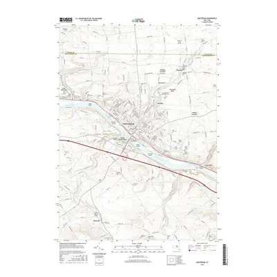
 2023 Tribes Hill2023 Print · USGSThe Mohawk River valley near Fonda and Fort Hunter is shown in the early twenty-first century as it balances its colonial heritage with modern growth. Genealogists can locate several historic burial sites, including Wyckoff Cem, and trace family roots in Fort Johnson or Tribes Hill.
 - 2023 Map of Duanesburg, 2023 Print
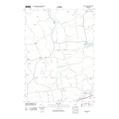
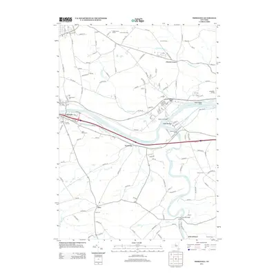
 2023 Duanesburg2023 Print · USGSSchenectady County in the 2020s remains a landscape of historic crossroads and high-elevation hills. Family historians can trace small burial sites like Jones Cem and Frydenhall Cem while following the path of the CSX Transportation railroad.
 - 2023 Map of Amsterdam, 2023 Print
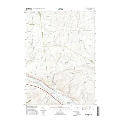
 2023 Amsterdam2023 Print · USGSModern Montgomery County remains centered on the riverfront and its valley settlements in this contemporary survey. Genealogists can locate family landmarks across numerous sites like Saint Marys Cem, Hagaman Mills Cem, and Minaville.
 - 2023 Map of Esperance, 2023 Print
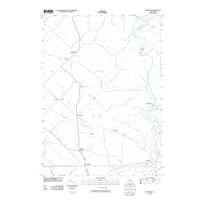
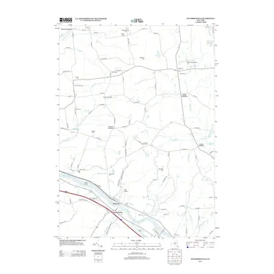
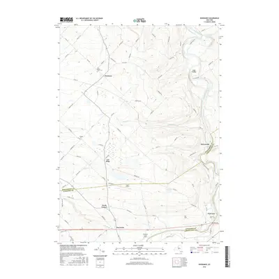
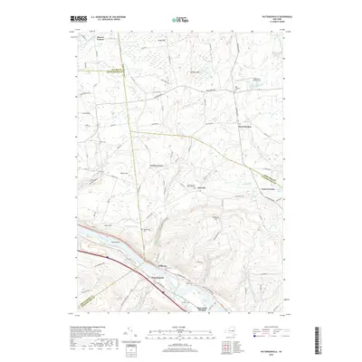
 2023 Esperance2023 Print · USGSThe rural borderlands of Montgomery and Schoharie counties are documented here in recent detail. Genealogists and local historians can trace family sites at First Baptist Church Cem or explore the hamlets of Charleston, Burtonsville, and Sloansville.
 - 2023 Map of Pattersonville, 2023 Print
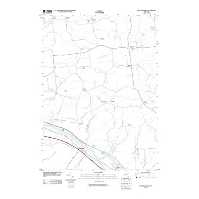
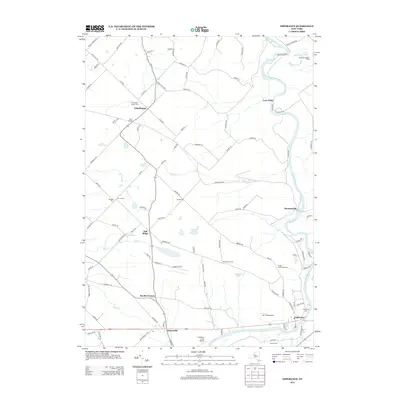
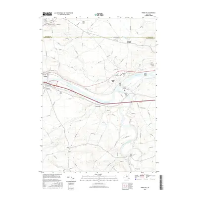
 2023 Pattersonville2023 Print · USGSThe Mohawk River valley and the surrounding uplands come into focus in this contemporary survey of the Schenectady and Saratoga county border. Researchers can trace historic family burial sites like Van Eps Cem and Dodds Cem alongside the active CSX rail corridor.
End of results
Showing maps 1-25 of 25
Top cities near Florida
- Schenectady historical maps
- Guilderland historical maps
- Rotterdam historical maps
- Glenville historical maps
- West Glenville historical maps
- Amsterdam historical maps
See more
Top neighborhoods of Florida
- Minaville historical maps
- Scotch Bush historical maps
- Fort Hunter historical maps
- Lost Valley historical maps
- Wellsville historical maps
- Miller Corners historical maps
Frequently asked questions
- What are the different types of historical maps available for Florida?
- What is the oldest map of Florida?
- Where can I purchase historical maps of Florida for my home or office?
- Where can I download high-res historical maps of Florida?
- Are there historical topographic maps available for Florida?
- Is there historical aerial imagery available for Florida?
- Where are historical maps of Florida sourced from?