Old Maps of Highland Park, Lockport for Academic Research
Study the evolution of Highland Park with 17 high-resolution historic maps. Whether you're teaching, researching, or modeling changes in land use, these maps provide essential visual documentation of urban, environmental, and geographic change.
- Analyze long-term change: Track patterns in development, transportation, and natural features.
- Ideal for environmental or urban studies: Support academic projects with primary historical map data.
- Use in the classroom or lab: Educators and researchers rely on these maps to bring historical context to life.
These maps are a powerful tool for teaching, research, and visualizing how Highland Park has changed over the decades.
Highland Park, Lockport maps
(17)- 1897 Map of Lockport
 1897 Lockport1897 Print · USGSNiagara County was a powerhouse of canal and rail commerce during the 1890s, centered on the engineering marvels at Lockport. Genealogists and historians can trace the early foundations of Clarence Center, locate Swifts Mills, or follow the original path of the Erie Canal past Raynales Basin.
 - 1899 Map of Niagara
 1899 Niagara1899 Print · USGSThe Niagara Frontier is mapped here in the late nineteenth century as a bustling corridor of trade and transport. Researchers can trace the path of the Erie Canal through Lockport or locate early rural settlements like Ransomville and the Tuscarora Indian Reservation.6 unique versions available
 - 1902 Map of Lockport
 1902 Lockport1902 Print · USGSNiagara and Erie Counties thrived at the turn of the century as the Erie Canal and heavy rail transformed the region. Researchers can trace ancestral property near Lockport or locate vanished stops along the Batavia and Tonawanda Shore Line and near Reynales Basin.6 unique versions available
 - 1905 Map of Lockport, 1906 Print
 1905 Lockport1906 Print · USGSNiagara and Erie counties at the height of the canal and rail era show a landscape defined by the Erie Canal. Trace family roots in Lockport or explore early transit networks through Transit Sta., Akron, and the Electric R. R.
 - 1948 Map of Lockport, 1953 Print
 1948 Lockport1953 Print · USGSNiagara and Erie Counties are shown here during the late forties, when the canal and rail lines still anchored the regional economy. Researchers can locate numerous numbered rural schoolhouses and vanished stops like Hodgeville Sta or Akron Junction.3 unique versions available
 - 1950 Map of Lockport
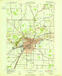 1950 Lockport1950 Print · USGSLockport and its surrounding townships thrive along the Erie Canal in the post-war era. Genealogists and local historians can trace legacy sites like Cold Spring Cem, the Chapel of the Good Shepherd, and the International Railway corridor.
 - 1952 Map of Toronto, 1954 Print
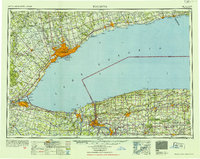 1952 Toronto1954 Print · USGSLake Ontario and the international border define this mid-century landscape of rapid industrial and suburban growth. Researchers can trace the vital shipping and rail corridors of the era, from the Welland Canal to the New York Central Railroad.
 - 1962 Map of Toronto, 1982 Print
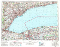 1962 Toronto1982 Print · USGSThe Golden Horseshoe and the Niagara Frontier meet in this early 1960s study of a growing international border region. Trace the path of the Welland Canal and locate land marks like the Scarborough Bluffs and Tuscarora Indian Reservation.
 - 1965 Map of Toronto
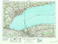 1965 Toronto1965 Print · USGSThe Golden Horseshoe and Niagara Frontier are shown in detail during the early sixties, highlighting the international shipping and transit networks. Trace the path of the Erie Canal, the Welland Canal, and rail lines connecting Toronto and Niagara Falls.2 unique versions available
 - 1965 Map of Lockport, 1968 Print
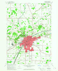 1965 Lockport1968 Print · USGSNiagara County's industrial and civic heart is captured here during the mid-sixties, centered on the historic Erie Canal. Researchers can trace old family names at Stahler Cem, locate the IOOF Home, or study the rail corridors of the Erie-Lackawanna.
 - 1980 Map of Lockport
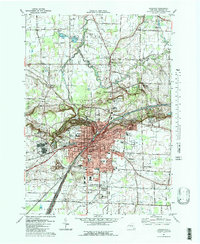 1980 Lockport1980 Print · USGSLockport and the surrounding Niagara County countryside are captured here in the early eighties, showing the city's industrial core and rural townships. Researchers can trace local landmarks like St Bridgets Ch, the County Fairgrounds, and the path of the ERIE CANAL.3 unique versions available
 - 1984 Map of Lockport, 1985 Print
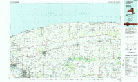 1984 Lockport1985 Print · USGSWestern New York in the 1980s shows a landscape of lakefront parks, industrial rail corridors, and vast protected wetlands. Genealogists and historians can trace the legacy of local families through sites like Acacia Park Cem or the Tuscarora Indian Reservation.2 unique versions available
 - 2010 Map of Lockport, 2010 Print
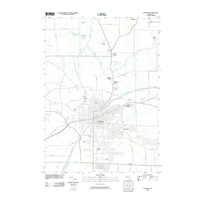 2010 Lockport2010 Print · USGSLockport and its surrounding Niagara County hamlets are captured here in the early twenty-first century, showing a landscape shaped by historical waterways and modern growth. Trace local heritage and land use through landmarks like the Niagara County Fairgrounds, Bent-Wing Airport, and Glenwood Cemetery.
 - 2013 Map of Lockport, 2013 Print
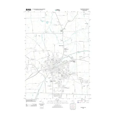 2013 Lockport2013 Print · USGSNiagara County's agricultural heart and canal heritage are preserved here in the early twenty-first century. Researchers can trace the lineage of local orchards and cemeteries, from the Hall Apple Farm to the Trinity Evangelical Lutheran Cem and Wrights Corners.
 - 2016 Map of Lockport, 2016 Print
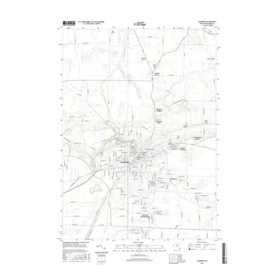 2016 Lockport2016 Print · USGSLockport and its surrounding Niagara County township appear here in the early twenty-first century, centered on the enduring path of the Erie Canal. Genealogists can trace numerous local sites including Saint Patricks Cem, Mount Calvary Cem, and the historic Wrights Corners area.
 - 2019 Map of Lockport, 2019 Print
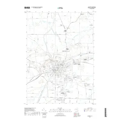 2019 Lockport2019 Print · USGSLockport and the Niagara County hinterlands are defined here by the enduring path of the Erie Canal. Researchers can trace local lineage through numerous sites like Saint Patricks Cem or examine canal infrastructure at the Adam Street Bridge.
 - 2023 Map of Lockport, 2023 Print
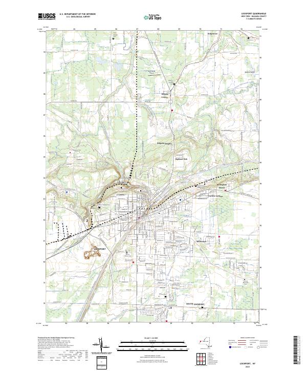 2023 Lockport2023 Print · USGSNiagara County's canal-driven landscape is captured here, centered on the urban core of Lockport and its surrounding suburban communities. Researchers can trace historic cemeteries like Glenwood Cem or locate civic landmarks such as the Niagara County Courthouse and Bent-Wing Airport.
End of results
Showing maps 1-17 of 17
Top cities near Highland Park
- Amherst historical maps
- Tonawanda historical maps
- Clarence historical maps
- North Tonawanda historical maps
- Grand Island historical maps
- Lockport historical maps
See more
Frequently asked questions
- What are the different types of historical maps available for Highland Park?
- What is the oldest map of Highland Park?
- Where can I purchase historical maps of Highland Park for my home or office?
- Where can I download high-res historical maps of Highland Park?
- Are there historical topographic maps available for Highland Park?
- Is there historical aerial imagery available for Highland Park?
- Where are historical maps of Highland Park sourced from?