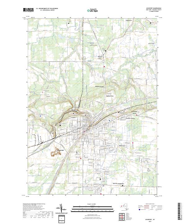
2023 Map of Lockport
USGS Topo · Published 2023About this map
The Erie Canal anchors this survey of Western New York, cutting through the city of Lockport and defining its industrial and geographic layout. This modern record details a landscape where historical infrastructure meets suburban growth in South Lockport and northern settlements like Wrights Corners. The terrain is marked by significant hydrological features, including the winding course of Eighteenmile Creek and its East Branch, which flow through the undulating northern reaches of the county.
Find a feature on this map
195 named features on this map. Tap any name to fly to it.
Don’t see what you’re looking for? This feature index may not catch every label — zoom into the map to look around manually.
Map Details
Editions of this 2023 Lockport Map
This is the sole edition of this map. No revisions or reprints were ever made.
Other maps of this area

1894 · Wilson
USGS Topo · 1:62,500

1897 · Tonawanda
USGS Topo · 1:62,500

1897 · Olcott
USGS Topo · 1:62,500

1897 · Lockport
USGS Topo · 1:62,500

1899 · Niagara
USGS Topo · 1:125,000

1900 · Wilson
USGS Topo · 1:62,500

1900 · Tonawanda
USGS Topo · 1:62,500

1901 · Tonawanda
USGS Topo · 1:62,500

1902 · Lockport
USGS Topo · 1:62,500

1905 · Lockport
USGS Topo · 1:62,500