2000s (21st Century) Maps of Manlius, New York
Explore 20 historic maps of Manlius from the 2000s (21st Century). These maps offer a rare glimpse into what life looked like during the 2000s — showing old roads, neighborhoods, homes, and landmarks that have changed or disappeared over time.
Whether you're researching your family's past, planning a metal detecting trip, or studying how Manlius's landscape evolved across the 2000s, these high-resolution maps are a powerful tool for exploring the history of this region.
- Focus on a specific era: All maps on this page are from the 2000s, giving you a focused view of this time period.
- See what’s changed: Compare century-old streets, trails, and buildings to today's modern landscape using overlays and satellite layers.
- Research with precision: Use these maps for genealogy, historical research, land use analysis, or educational projects.
- View, download, or print: Maps are fully viewable online in high resolution, and can be downloaded or printed for your own records.
Start exploring Manlius's history through authentic maps from the 2000s. This is your window into the past.
Manlius, NY maps
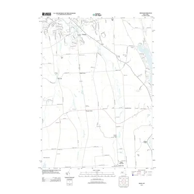
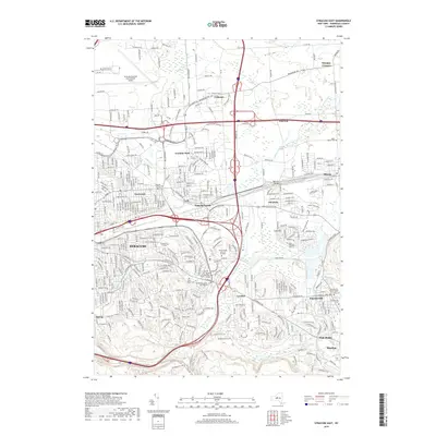
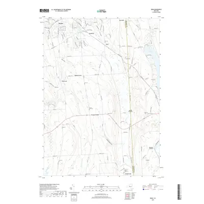
(20)- 2010 Map of Manlius, 2010 Print
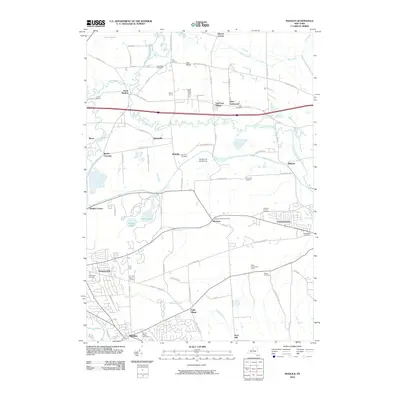 2010 Manlius2010 Print · USGSCovers Manlius, including Cicero, Sullivan, and other nearby areas
 - 2010 Map of Oran, 2010 Print
 2010 Oran2010 Print · USGSCovers Manlius, including Pompey, Cazenovia, and other nearby areas
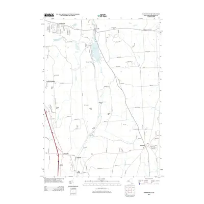
 - 2010 Map of Jamesville, 2010 Print
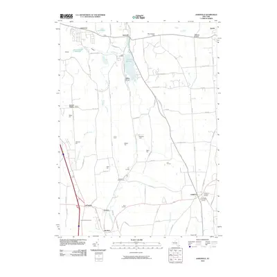 2010 Jamesville2010 Print · USGSCovers Manlius, including Syracuse, De Witt, and other nearby areas
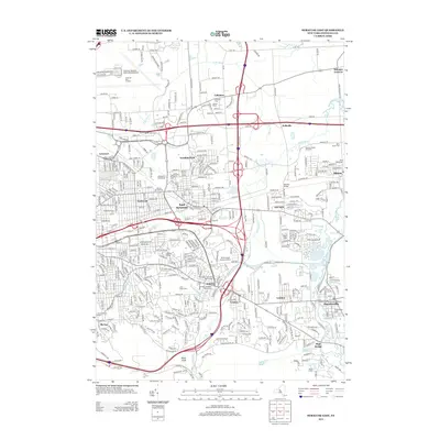
 - 2010 Map of Syracuse East, 2010 Print
 2010 Syracuse East2010 Print · USGSCovers Manlius, including Syracuse, Salina, and other nearby areas
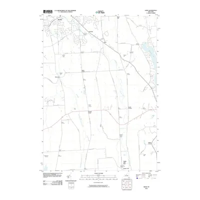
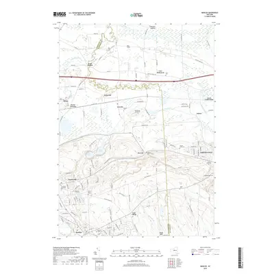
 - 2013 Map of Oran, 2013 Print
 2013 Oran2013 Print · USGSCovers Manlius, including Pompey, Cazenovia, and other nearby areas
 - 2013 Map of Jamesville, 2013 Print
 2013 Jamesville2013 Print · USGSCovers Manlius, including Syracuse, De Witt, and other nearby areas
 - 2013 Map of Syracuse East, 2013 Print
 2013 Syracuse East2013 Print · USGSCovers Manlius, including Syracuse, Salina, and other nearby areas
 - 2013 Map of Manlius, 2013 Print
 2013 Manlius2013 Print · USGSCovers Manlius, including Cicero, Sullivan, and other nearby areas
 - 2016 Map of Manlius, 2016 Print
 2016 Manlius2016 Print · USGSCovers Manlius, including Cicero, Sullivan, and other nearby areas
 - 2016 Map of Syracuse East, 2016 Print
 2016 Syracuse East2016 Print · USGSCovers Manlius, including Syracuse, Salina, and other nearby areas
 - 2016 Map of Oran, 2016 Print
 2016 Oran2016 Print · USGSCovers Manlius, including Pompey, Cazenovia, and other nearby areas
 - 2016 Map of Jamesville, 2016 Print
 2016 Jamesville2016 Print · USGSCovers Manlius, including Syracuse, De Witt, and other nearby areas
 - 2019 Map of Syracuse East, 2019 Print
 2019 Syracuse East2019 Print · USGSCovers Manlius, including Syracuse, Salina, and other nearby areas
 - 2019 Map of Oran, 2019 Print
 2019 Oran2019 Print · USGSCovers Manlius, including Pompey, Cazenovia, and other nearby areas
 - 2019 Map of Jamesville, 2019 Print
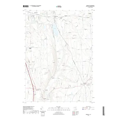 2019 Jamesville2019 Print · USGSCovers Manlius, including Syracuse, De Witt, and other nearby areas
 - 2019 Map of Manlius, 2019 Print
 2019 Manlius2019 Print · USGSCovers Manlius, including Cicero, Sullivan, and other nearby areas
 - 2023 Map of Oran, 2023 Print
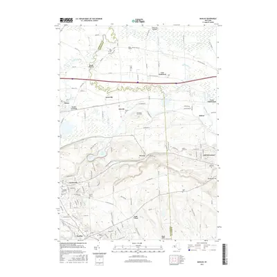
 2023 Oran2023 Print · USGSThe rolling uplands of Onondaga County are revealed in this modern survey of the limestone-cut valleys and upland hamlets. Genealogists can trace family burial sites at Pompey Center Cem or Southwell Cem and explore the rural character of Watervale and Oran.
 - 2023 Map of Jamesville, 2023 Print
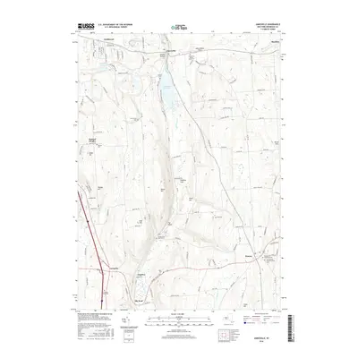
 2023 Jamesville2023 Print · USGSThe Onondaga County highlands south of Syracuse appear here in recent detail, showing the rural landscapes around Jamesville and Pompey. Family historians can trace numerous burial sites like Spoor Burial Ground and LaFayette Rural Cem.
 - 2023 Map of Manlius, 2023 Print
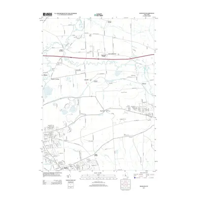
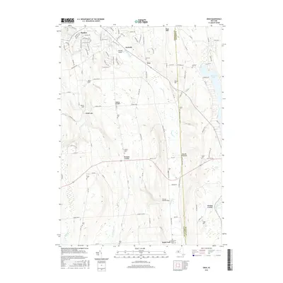
 2023 Manlius2023 Print · USGSCentral New York at the start of the 2020s shows a landscape of suburban growth layered over deep agricultural roots. Genealogists can locate family burial sites like Anguish Family Cem, while historians can trace old routes like the Genesee Tpke and Fyler Settlement.
 - 2023 Map of Syracuse East, 2023 Print
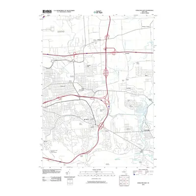
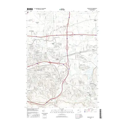
 2023 Syracuse East2023 Print · USGSEastern Onondaga County is shown here as a thriving suburban and industrial corridor in the early twenty-first century. Researchers can trace the development of older settlements and burial sites like Collamer, Franklin Park, and the Fayetteville Pioneer Burial Ground.
End of results
Showing maps 1-20 of 20
Top cities near Manlius
- Syracuse historical maps
- Clay historical maps
- Salina historical maps
- Cicero historical maps
- DeWitt historical maps
- De Witt historical maps
See more
Top neighborhoods of Manlius
- Saintsville historical maps
- Fillmore Corner historical maps
- Snyder Crossing historical maps
- Polkville historical maps
- Kirkville historical maps
- High Bridge historical maps
See more
Frequently asked questions
- What are the different types of historical maps available for Manlius?
- What is the oldest map of Manlius?
- Where can I purchase historical maps of Manlius for my home or office?
- Where can I download high-res historical maps of Manlius?
- Are there historical topographic maps available for Manlius?
- Is there historical aerial imagery available for Manlius?
- Where are historical maps of Manlius sourced from?