1950s Maps of Orange County, New York
Explore 22 historic maps of Orange County from the 1950s. These maps offer a rare glimpse into what life looked like during the 1950s — showing old roads, neighborhoods, homes, and landmarks that have changed or disappeared over time.
Whether you're researching your family's past, planning a metal detecting trip, or studying how Orange County's landscape evolved across the 1950s, these high-resolution maps are a powerful tool for exploring the history of this region.
- Focus on a specific era: All maps on this page are from the 1950s, giving you a focused view of this time period.
- See what’s changed: Compare century-old streets, trails, and buildings to today's modern landscape using overlays and satellite layers.
- Research with precision: Use these maps for genealogy, historical research, land use analysis, or educational projects.
- View, download, or print: Maps are fully viewable online in high resolution, and can be downloaded or printed for your own records.
Start exploring Orange County's history through authentic maps from the 1950s. This is your window into the past.
Orange County, NY maps
(22)- 1950 Map of Scranton, 1952 Print
 1950 Scranton1952 Print · USGSMid-century Northeast Pennsylvania and the Hudson Valley come alive in this survey of the tri-state region. Genealogists and historians can trace the dense rail networks of the Erie RR and DL&W RR between industrial hubs like Scranton and Wilkes-Barre.
 - 1953 Map of Unionville
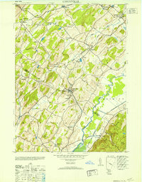 1953 Unionville1953 Print · USGSThe borderlands of New York and New Jersey are captured in the mid-fifties, centered on the village of Unionville and its surrounding rural hamlets. Local historians can trace industrial roots at the Sussex Distillery or locate historic schoolhouses like Westtown School and Johnson School.
 - 1953 Map of Scranton
 1953 Scranton1953 Print · USGSNortheastern Pennsylvania and the Catskills are shown in great detail during the early fifties, a time when rail lines and river valleys dictated the region's growth. Genealogists and historians can trace the industrial hearts of Scranton and Wilkes-Barre or locate remote landmarks like High Point and Lake Wallenpaupack.
 - 1953 Map of Port Jervis South
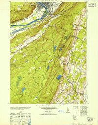 1953 Port Jervis South1953 Print · USGSThe Tri-State region comes alive in this mid-century survey of the Delaware River valley where three states meet. Genealogists and local historians can trace family-named sites and vanished institutions from Rock View House and River School No 1 to the Tristates Bible Camp.
 - 1954 Map of Wawayanda, 1956 Print
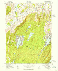 1954 Wawayanda1956 Print · USGSThe Highlands of the New Jersey and New York border are shown here in the early fifties during a period of expanding lakeside communities. Researchers can trace the winding Appalachian Trail or locate local landmarks like Glenwood Cem and the Lehigh and Hudson River railroad.4 unique versions available
 - 1954 Map of Greenwood Lake, 1956 Print
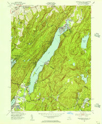 1954 Greenwood Lake1956 Print · USGSGreenwood Lake and the surrounding mountain ridges are shown at a turning point in the mid-1950s as the area shifted from industry to recreation. Genealogists and hikers can trace the Appalachian Trail, locate the Erskine Cem, and find an Iron Mine (Inactive) near the state line.5 unique versions available
 - 1955 Map of Thiells, 1957 Print
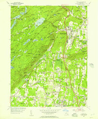 1955 Thiells1957 Print · USGSMid-century Rockland County was a landscape of dense woodlands and significant public institutions as the postwar era began. Researchers can trace the grounds of the Letchworth Village State Mental Institution, locate the Hogencamp Mine, and find historic congregations at Wesley Chapel.4 unique versions available
 - 1955 Map of Sloatsburg, 1957 Print
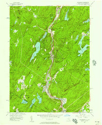 1955 Sloatsburg1957 Print · USGSMid-century Rockland County is defined by the heavy transit lines of the Erie RR and Thruway cutting through the Ramapo Mountains. Genealogists and historians can trace institutional sites like St Marys Villa Academy or locate the family-named peaks and ridges such as Tom Jones Mtn and Bill White Mtn.2 unique versions available
 - 1956 Map of Napanoch, 1958 Print
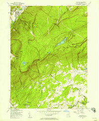 1956 Napanoch1958 Print · USGSThe Shawangunk Mountains define the landscape of Ulster County in the mid-fifties, separating the industrial valley from upland summer camps. Researchers can trace the New York Ontario and Western rail line through Napanoch or locate landmarks like Red Mills and the State Institution for Male Defective Delinquents.4 unique versions available
 - 1956 Map of Pine Bush, 1958 Print
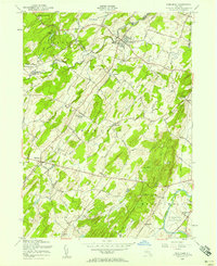 1956 Pine Bush1958 Print · USGSIn the mid-1950s, this area of the Hudson Valley maintained a rural character defined by the Erie RR and small valley settlements. Researchers can trace family history through sites like Howell Cem, St Pauls Ch, and the hamlet of Ulsterville.3 unique versions available
 - 1956 Map of Wappingers Falls, 1965 Print
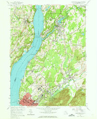 1956 Wappingers Falls1965 Print · USGSThe mid-Hudson Valley is captured here in the mid-fifties, showing the industrial riverfront and established villages before suburban expansion. Genealogists can trace family names at St Joachims Cem, locate the Red Sch, or study institutional grounds like Matteawan State Hospital.3 unique versions available
 - 1957 Map of Warwick, 1958 Print
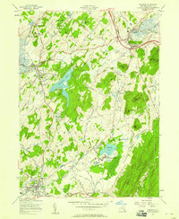 1957 Warwick1958 Print · USGSOrange County's agricultural and rail corridor is meticulously detailed in the late fifties, showing the region before modern suburban expansion. Trace family history through local landmarks like St Stephens Ch, the Wisner Cemetery, and the State Training School for Boys.3 unique versions available
 - 1957 Map of Walden, 1958 Print
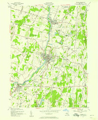 1957 Walden1958 Print · USGSOrange County's mid-century river valley comes alive in this survey of the river-and-rail corridor between Walden and Montgomery. Genealogists can trace family sites at Wallkill Valley Cemetery and Goodwill Ch, or explore the massive Maybrook Yards rail infrastructure.2 unique versions available
 - 1957 Map of Monroe, 1959 Print
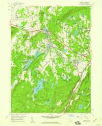 1957 Monroe1959 Print · USGSOrange County in the late fifties shows a landscape of growing valley towns and protected mountain ridges. Genealogists and researchers can trace the rail-and-road connections at Newburgh Junction or locate family sites near Seamanville Cem and Walton Park.5 unique versions available
 - 1957 Map of Peekskill, 1959 Print
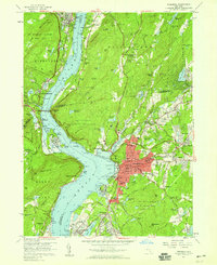 1957 Peekskill1959 Print · USGSThe Hudson Highlands and Peekskill waterfront are captured here in the late fifties, showcasing a landscape of river-borne industry and established institutions. Researchers can trace historic cemeteries and schools such as Hillside Cemetery, Ladycliff College, and the National Guard Armory.6 unique versions available
 - 1957 Map of Cornwall, 1959 Print
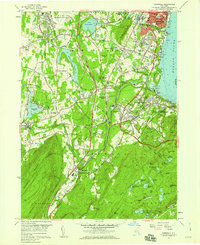 1957 Cornwall1959 Print · USGSThe western banks of the Hudson River thrive in the late fifties, where industrial towns meet military outposts and mountain parks. Genealogists can trace family roots at Woodlawn Cemetery or locate historic sites like Orrs Mill and Knox Headquarters.5 unique versions available
 - 1957 Map of Maybrook, 1959 Print
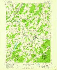 1957 Maybrook1959 Print · USGSMid-century Orange County is defined here by its busy rail junctions and rolling hills south of the Newburgh area. Genealogists can trace family names through numerous sites like Sears Cem and St Davids Cem or locate the sprawling Stewart AF Base grounds.4 unique versions available
 - 1957 Map of Newburgh, 1959 Print
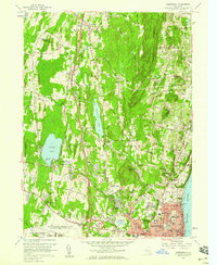 1957 Newburgh1959 Print · USGSMid-century Newburgh and its western hinterlands are caught here just as the Thruway began reshaping the Hudson Valley. Local historians can trace established landmarks like the Pine Pt Casino on Orange Lake or genealogy details at Belknap Cem.4 unique versions available
 - 1957 Map of Goshen, 1959 Print
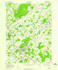 1957 Goshen1959 Print · USGSOrange County in the late fifties remains a landscape of harness racing tracks and quiet rural hamlets connected by the Erie Railroad. You can trace the village layout of Goshen or find ancestral sites like St Johns Cem and the Blessed Sacrament Academy.3 unique versions available
 - 1957 Map of Popolopen Lake, 1959 Print
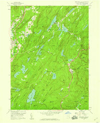 1957 Popolopen Lake1959 Print · USGSThe Hudson Highlands in the late fifties show a landscape of military grounds and public forest just as the modern thruway era arrived. Researchers can locate the historic Quaker Meetinghouse, trace the original Appalachian Trail route, and find settlements like Doodletown and Barleytown.5 unique versions available
 - 1957 Map of West Point, 1965 Print
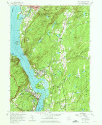 1957 West Point1965 Print · USGSThe Hudson Highlands were a hub of military education and river-bound industry during the late fifties. You can trace the detailed campus of the U S Military Academy at West Point, explore the streets of Cold Spring, and locate the U S Silver Depository.4 unique versions available
 - 1959 Map of Scranton
 1959 Scranton1959 Print · USGSThe northern coalfields and the Hudson Valley meet in this mid-century survey of the Pennsylvania and New York borderlands. Genealogists and historians can trace the intricate rail networks of the Erie Railroad and the vast waters of Lake Wallenpaupack.2 unique versions available
End of results
Showing maps 1-22 of 22
Top cities of Orange County
- Palm Tree historical maps
- Kiryas Joel historical maps
- Warwick historical maps
- Newburgh historical maps
- Wallkill historical maps
- Middletown historical maps
See more
Frequently asked questions
- What are the different types of historical maps available for Orange County?
- What is the oldest map of Orange County?
- Where can I purchase historical maps of Orange County for my home or office?
- Where can I download high-res historical maps of Orange County?
- Are there historical topographic maps available for Orange County?
- Is there historical aerial imagery available for Orange County?
- Where are historical maps of Orange County sourced from?