1960s Maps of Orange County, New York
Explore 16 historic maps of Orange County from the 1960s. These maps offer a rare glimpse into what life looked like during the 1960s — showing old roads, neighborhoods, homes, and landmarks that have changed or disappeared over time.
Whether you're researching your family's past, planning a metal detecting trip, or studying how Orange County's landscape evolved across the 1960s, these high-resolution maps are a powerful tool for exploring the history of this region.
- Focus on a specific era: All maps on this page are from the 1960s, giving you a focused view of this time period.
- See what’s changed: Compare century-old streets, trails, and buildings to today's modern landscape using overlays and satellite layers.
- Research with precision: Use these maps for genealogy, historical research, land use analysis, or educational projects.
- View, download, or print: Maps are fully viewable online in high resolution, and can be downloaded or printed for your own records.
Start exploring Orange County's history through authentic maps from the 1960s. This is your window into the past.
Orange County, NY maps
(16)- 1961 Map of Hartford
 1961 Hartford1961 Print · USGSSouthern New England and the Hudson Valley are shown here in the mid-fifties, capturing a landscape of booming coastal cities and interior hill towns. Researchers can trace the legacy of the New York New Haven and Hartford rail corridor and find strategic sites like Camp Shanks and Fort Michie.
 - 1962 Map of Hartford, 1971 Print
 1962 Hartford1971 Print · USGSSouthern New England and the Hudson Valley are shown in the early sixties, as suburban growth reached into the foothills. Trace the path of the New York New Haven & Hartford RR and find landmarks like Camp Nathan Hale and Gillette Castle State Park.3 unique versions available
 - 1962 Map of Scranton, 1977 Print
 1962 Scranton1977 Print · USGSThe industrial heart of eastern Pennsylvania and the New York Catskills are captured here in the early sixties. Genealogists and historians can trace the dense valley settlements from Scranton to Wilkes-Barre and the rail lines of the Erie Lackawanna Railroad.2 unique versions available
 - 1963 Map of Unionville
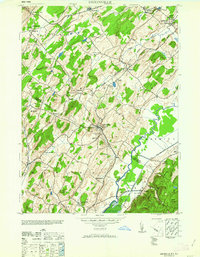 1963 Unionville1963 Print · USGSThe New York and New Jersey borderlands appear in detail during the early 1940s, showing a landscape shaped by rail lines and local industry. Researchers can trace family roots through sites like Westtown Cemetery or explore the era's commerce at the American Silk Label Co and Sussex Distillery.
 - 1965 Map of Scranton
 1965 Scranton1965 Print · USGSThe tri-state highlands of Pennsylvania, New York, and New Jersey come alive in the mid-sixties as industry and recreation converge. Trace the intricate rail lines of the Erie Lackawanna RR or locate landmarks like the U S Military Academy.2 unique versions available
 - 1965 Map of Hartford
 1965 Hartford1965 Print · USGSSouthern New England and the Hudson Valley are shown here during the mid-sixties expansion of the Interstate era. Trace the path of the New York New Haven & Hartford RR or locate historic landmarks like West Point Military Reservation and the Merritt Parkway.2 unique versions available
 - 1965 Map of Pond Eddy, 1967 Print
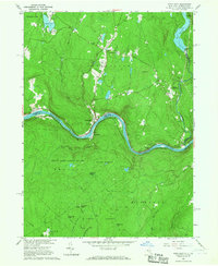 1965 Pond Eddy1967 Print · USGSThe Delaware River gorge and the ERIE-LACKAWANNA rail line dominate this mid-sixties border landscape between New York and Pennsylvania. Genealogists and hikers can trace old routes near Pond Eddy, find the Sacred Heart Ch, or explore the deep woods of State Game Lands No 209.5 unique versions available
 - 1966 Map of Yankee Lake, 1968 Print
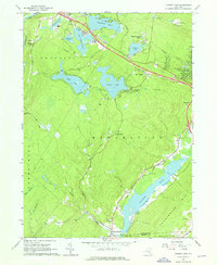 1966 Yankee Lake1968 Print · USGSSullivan County in the mid-1960s was a landscape defined by its canal history and growing lakeside retreats. Trace the length of the Delaware and Hudson Canal (Abandoned) or locate family landmarks like Belle Terre Cem and Mamakating Park.3 unique versions available
 - 1967 Map of Unionville
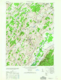 1967 Unionville1967 Print · USGSThe New York and New Jersey borderlands come to life in this mid-century survey of the valley south of Middletown. Genealogists and historians can trace the local economy through industrial sites like the Sussex Distillery and schools such as the Westtown School.
 - 1969 Map of Pine Island, 1971 Print
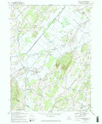 1969 Pine Island1971 Print · USGSThe black dirt region of Orange County and Sussex County is captured here in the late sixties, showcasing its complex agricultural drainage and rail corridors. Trace family roots and local industry through Pine Island, the Lehigh & Hudson River Railroad, and St Peters Ch.
 - 1969 Map of Otisville, 1971 Print
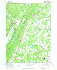 1969 Otisville1971 Print · USGSOrange and Sullivan Counties are shown in the late sixties as the ridge of the Shawangunk Mountains separates the Neversink and Shawangunk valleys. Genealogists and historians can locate the State Training School for Boys, Mount Hope Cem, and several old hamlets along the Erie Lackawanna Railroad.2 unique versions available
 - 1969 Map of Middletown, 1971 Print
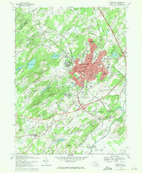 1969 Middletown1971 Print · USGSOrange County's urban and agricultural mix is on full display here in the late sixties. Genealogists and historians can trace the grounds of the State Hospital, find Randall Airport, and locate family names in Hillside Cemetery.2 unique versions available
 - 1969 Map of Wurtsboro, 1971 Print
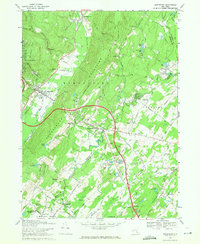 1969 Wurtsboro1971 Print · USGSSullivan and Orange County settlements are captured here in the late sixties, showing the alignment of the Shawangunk Mountains and the Basher Kill valley. Genealogists can locate family landmarks like Stanton Memorial Cem or the Chase Sch near Wurtsboro.3 unique versions available
 - 1969 Map of Port Jervis North, 1972 Print
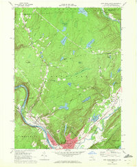 1969 Port Jervis North1972 Print · USGSThe Port Jervis area in the late sixties served as a vital river and rail crossroads where New York, Pennsylvania, and New Jersey meet. Researchers can trace family sites in Germantown, locate the Agudath Achim Cem, or follow the Erie Lackawanna Railroad through the valley.3 unique versions available
 - 1969 Map of Port Jervis South, 1972 Print
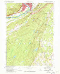 1969 Port Jervis South1972 Print · USGSThe tri-state border region comes alive in the late sixties, highlighting the urban density of Port Jervis against the crest of the Kittatinny Mountain. Genealogists can find St Marys Cem and Seeley Cem, while hikers can trace the Appalachian Trail through High Point State Park.3 unique versions available
 - 1969 Map of Unionville, 1972 Print
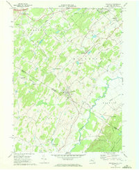 1969 Unionville1972 Print · USGSThe interstate borderlands of Orange and Sussex counties come to life in this survey taken at the end of the 1960s. Genealogists and local historians can trace family roots through Unionville and Westtown, locating sites like the Minisink Cem and Waterloo Mills.3 unique versions available
End of results
Showing maps 1-16 of 16
Top cities of Orange County
- Palm Tree historical maps
- Kiryas Joel historical maps
- Warwick historical maps
- Newburgh historical maps
- Wallkill historical maps
- Middletown historical maps
See more
Frequently asked questions
- What are the different types of historical maps available for Orange County?
- What is the oldest map of Orange County?
- Where can I purchase historical maps of Orange County for my home or office?
- Where can I download high-res historical maps of Orange County?
- Are there historical topographic maps available for Orange County?
- Is there historical aerial imagery available for Orange County?
- Where are historical maps of Orange County sourced from?