Old Maps of Richland, New York for Metal Detecting
Plan your next treasure hunt with 35 historic maps of Richland. Find old homesites, ghost towns, trails, and gathering spots that may be lost to time — perfect for identifying promising metal detecting locations.
- Locate forgotten sites: Uncover places like long-lost settlements, abandoned rail lines, or gathering spots.
- Plan better hunts: Use map overlays combined with LiDAR or satellite views to narrow in on historically rich areas.
- Made for detectorists: Thousands of hobbyists use these maps to discover relics, coins, and hidden history.
Use these historic maps to boost your research and find new opportunities beneath the surface of Richland.
Richland, NY maps
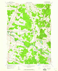
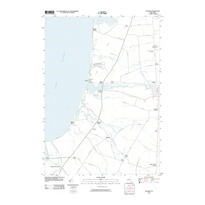
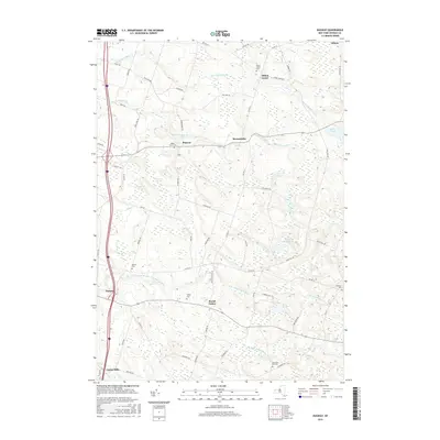
(35)- 1895 Map of Pulaski
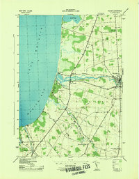
 1895 Pulaski1895 Print · USGSCoastal Oswego and Jefferson Counties are captured here in the late 1800s, where the Salmon River meets the lake. Genealogists can trace family roots through settlements like Richland, Pulaski, and the lakeside Life Saving Station.8 unique versions available
 - 1905 Map of Mexico
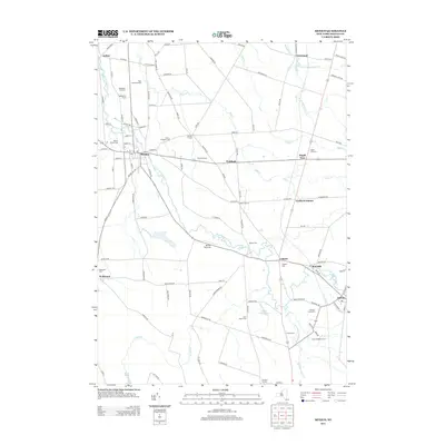
 1905 Mexico1905 Print · USGSOswego County at the turn of the century shows a landscape of busy crossroads and emerging rail junctions. Genealogists can trace family footprints through numerous named settlements like Colosse, Howardville, and Union Settlement or locate old industrial sites like Carleys Mills.6 unique versions available
 - 1943 Map of Pulaski
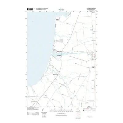
 1943 Pulaski1943 Print · USGSOswego County's eastern lakeshore is captured during the early 1940s, showing the vital intersection of the Salmon River and the coast. Researchers can trace old family sites and rural infrastructure at Daysville Corner, School No 9, and Daysville Cem.
 - 1943 Map of Richland
 1943 Richland1943 Print · USGSMid-century Oswego County reveals a landscape of thriving rural hamlets and riverside industry along the Salmon River. Genealogists and local historians can trace family locations through several burial grounds like Mc Clelland Cem and numerous district schools, including Union School and School No 4.
 - 1943 Map of Mexico
 1943 Mexico1943 Print · USGSOswego County's rural landscape is captured here during the early 1940s, showing the agricultural heartland centered around the village of Mexico. Researchers can locate several numbered schoolhouses, the Red Mill, and historic burial grounds like Quaker Cem and Maple View Cem.
 - 1943 Map of Dugway
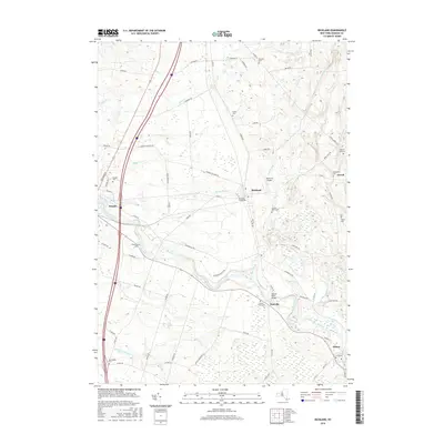
 1943 Dugway1943 Print · USGSOswego County's rural townships are documented here during the war years, showing a landscape of small farming hamlets and numbered school districts. Local historians can trace family roots through numerous small burial grounds like Maple Lawn Cem and settlements such as Dugway, Parish, and Carleys Mills.
 - 1956 Map of Mexico, 1958 Print
 1956 Mexico1958 Print · USGSOswego County's rural landscape is captured here in the mid-fifties, centered on the Mexico village and the winding Little Salmon River. Researchers can trace old family sites and local infrastructure across Deweys Corners, the New York Central Line, and the Quaker Cem.2 unique versions available
 - 1956 Map of Pulaski, 1958 Print
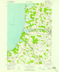 1956 Pulaski1958 Print · USGSThe eastern shores of Lake Ontario come to life in the mid-fifties, showing the vital junction where the Salmon River meets the lake. Genealogists can trace family names at Tinker Tavern Corner and locate several burial sites like the North Street Road Cemetery.5 unique versions available
 - 1957 Map of Dugway, 1959 Print
 1957 Dugway1959 Print · USGSOswego County in the late fifties remains a landscape of quiet crossroads settlements and winding watercourses. Genealogists and local researchers can locate numerous family burial sites like Bidwell Cem and Getman Cem, or trace the rural economy of Carley Mills and Dugway.4 unique versions available
 - 1958 Map of Richland, 1960 Print
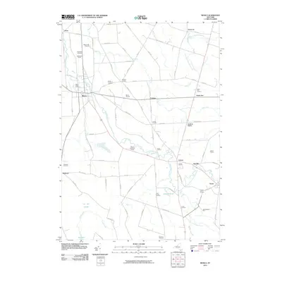
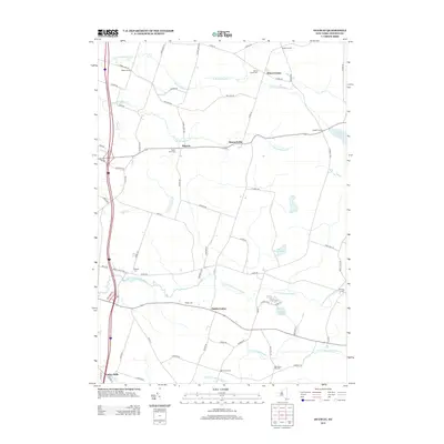
 1958 Richland1960 Print · USGSOswego County in the late fifties was defined by the New York Central railroad and the winding Salmon River. Local historians can trace old homesteads near Richland or locate family graves at Riverside Cem and Evergreen Cem.3 unique versions available
 - 1960 Map of Rochester
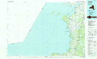
 1960 Rochester1960 Print · USGSThe Lake Ontario shoreline in the late fifties was a bustling corridor of rail and water commerce. Genealogists and historians can trace the path of the New York Central through canal towns like Newark or explore the coastal landmarks around Sackets Harbor.2 unique versions available
 - 1961 Map of Rochester, 1973 Print
 1961 Rochester1973 Print · USGSThe Lake Ontario shoreline and Finger Lakes frontier are shown here at the height of the mid-century infrastructure boom. Genealogists and historians can trace the rail-and-road evolution from Sackets Harbor down to the New York State Thruway, passing through centers like Pulaski and Adams Center.3 unique versions available
 - 1965 Map of Rochester
 1965 Rochester1965 Print · USGSUpstate New York's industrial heartland is captured here during a period of significant growth between the Great Lakes and the Finger Lakes. Genealogists and historians can trace the evolution of canal towns and rail hubs from Rochester to Syracuse, noting features like the Erie Canal and the New York State Thruway.
 - 1985 Map of Syracuse
 1985 Syracuse1985 Print · USGSCentral New York in the mid-eighties shows a landscape of established canal towns and growing metropolitan suburbs linked by rail and water. Researchers can trace the path of the Erie Canal, find the boundaries of Montezuma Marsh, and locate regional landmarks like Oneida Lake and Chimney Bluffs.3 unique versions available
 - 1985 Map of Pulaski
 1985 Pulaski1985 Print · USGSThe eastern shores of Lake Ontario in the mid-1980s showcase a landscape of protected wetlands and historic harbor towns. Trace the paths of the CONRAIL railroad and explore the coastal heritage of Sackets Harbor, Port Ontario, and Selkirk Shores State Park.2 unique versions available
 - 2010 Map of Richland, 2010 Print
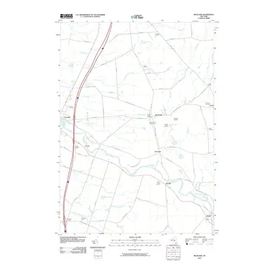 2010 Richland2010 Print · USGSCovers Richland, including Sandy Creek, Pulaski, and other nearby areas
 - 2010 Map of Dugway, 2010 Print
 2010 Dugway2010 Print · USGSCovers Richland, including Hastings, Parish, and other nearby areas
 - 2010 Map of Mexico, 2010 Print
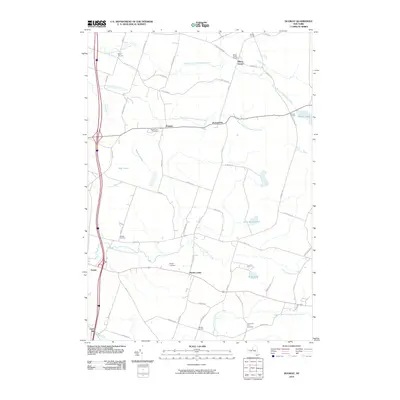
 2010 Mexico2010 Print · USGSCovers Richland, including Hastings, Palermo, and other nearby areas
 - 2010 Map of Pulaski, 2010 Print
 2010 Pulaski2010 Print · USGSCovers Richland, including Sandy Creek, Pulaski, and other nearby areas
 - 2013 Map of Richland, 2013 Print
 2013 Richland2013 Print · USGSCovers Richland, including Sandy Creek, Pulaski, and other nearby areas
 - 2013 Map of Pulaski, 2013 Print
 2013 Pulaski2013 Print · USGSCovers Richland, including Sandy Creek, Pulaski, and other nearby areas
 - 2013 Map of Dugway, 2013 Print
 2013 Dugway2013 Print · USGSCovers Richland, including Hastings, Parish, and other nearby areas
 - 2013 Map of Mexico, 2013 Print
 2013 Mexico2013 Print · USGSCovers Richland, including Hastings, Palermo, and other nearby areas
 - 2016 Map of Dugway, 2016 Print
 2016 Dugway2016 Print · USGSCovers Richland, including Hastings, Parish, and other nearby areas
 - 2016 Map of Richland, 2016 Print
 2016 Richland2016 Print · USGSCovers Richland, including Sandy Creek, Pulaski, and other nearby areas
Showing maps 1-25 of 35
Top cities near Richland
- Hastings historical maps
- Schroeppel historical maps
- Scriba historical maps
- Granby historical maps
- Volney historical maps
- Constantia historical maps
See more
Top neighborhoods of Richland
- Fernwood historical maps
- Farmers Corner historical maps
- Rainbow Shores historical maps
- Ramona Beach historical maps
- Tinker Tavern Corner historical maps
- Tylers Corner historical maps
See more
Frequently asked questions
- What are the different types of historical maps available for Richland?
- What is the oldest map of Richland?
- Where can I purchase historical maps of Richland for my home or office?
- Where can I download high-res historical maps of Richland?
- Are there historical topographic maps available for Richland?
- Is there historical aerial imagery available for Richland?
- Where are historical maps of Richland sourced from?