2000s (21st Century) Maps of Kent, New York
Explore 20 historic maps of Kent from the 2000s (21st Century). These maps offer a rare glimpse into what life looked like during the 2000s — showing old roads, neighborhoods, homes, and landmarks that have changed or disappeared over time.
Whether you're researching your family's past, planning a metal detecting trip, or studying how Kent's landscape evolved across the 2000s, these high-resolution maps are a powerful tool for exploring the history of this region.
- Focus on a specific era: All maps on this page are from the 2000s, giving you a focused view of this time period.
- See what’s changed: Compare century-old streets, trails, and buildings to today's modern landscape using overlays and satellite layers.
- Research with precision: Use these maps for genealogy, historical research, land use analysis, or educational projects.
- View, download, or print: Maps are fully viewable online in high resolution, and can be downloaded or printed for your own records.
Start exploring Kent's history through authentic maps from the 2000s. This is your window into the past.
Kent, NY maps
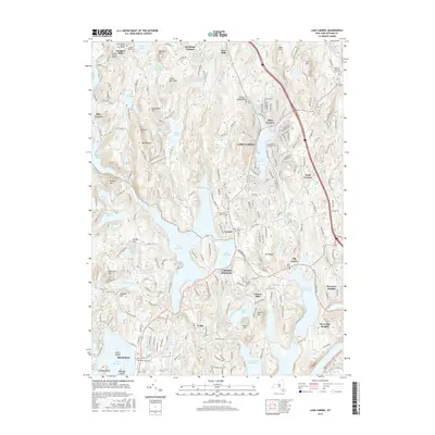
(20)- 2010 Map of Lake Carmel, 2010 Print
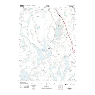 2010 Lake Carmel2010 Print · USGSCovers Kent, including Carmel, Southeast, and other nearby areas
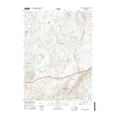
 - 2010 Map of Hopewell Junction, 2010 Print
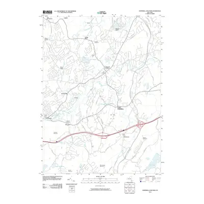 2010 Hopewell Junction2010 Print · USGSCovers Kent, including East Fishkill, Wappinger, and other nearby areas
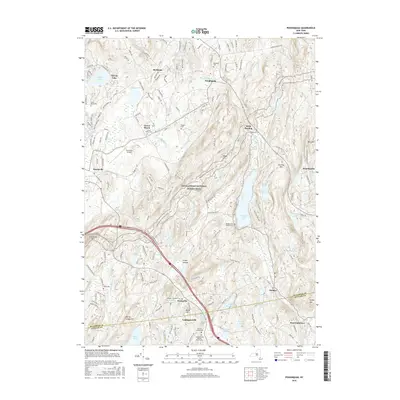
 - 2010 Map of Poughquag, 2010 Print
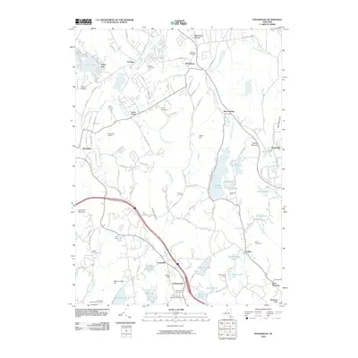 2010 Poughquag2010 Print · USGSCovers Kent, including East Fishkill, Beekman, and other nearby areas
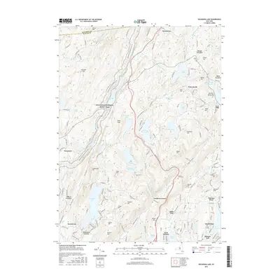
 - 2010 Map of Oscawana Lake, 2010 Print
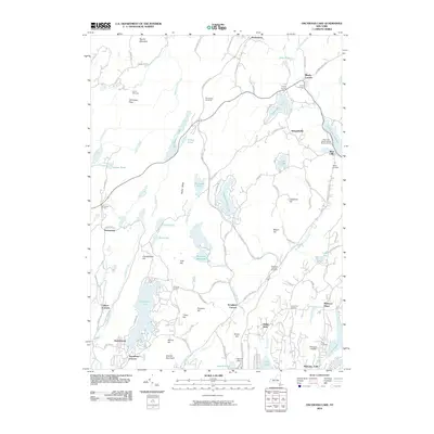 2010 Oscawana Lake2010 Print · USGSCovers Kent, including Carmel, East Fishkill, and other nearby areas
 - 2013 Map of Poughquag, 2013 Print
 2013 Poughquag2013 Print · USGSCovers Kent, including East Fishkill, Beekman, and other nearby areas
 - 2013 Map of Oscawana Lake, 2013 Print
 2013 Oscawana Lake2013 Print · USGSCovers Kent, including Carmel, East Fishkill, and other nearby areas
 - 2013 Map of Hopewell Junction, 2013 Print
 2013 Hopewell Junction2013 Print · USGSCovers Kent, including East Fishkill, Wappinger, and other nearby areas
 - 2013 Map of Lake Carmel, 2013 Print
 2013 Lake Carmel2013 Print · USGSCovers Kent, including Carmel, Southeast, and other nearby areas
 - 2016 Map of Lake Carmel, 2016 Print
 2016 Lake Carmel2016 Print · USGSCovers Kent, including Carmel, Southeast, and other nearby areas
 - 2016 Map of Hopewell Junction, 2016 Print
 2016 Hopewell Junction2016 Print · USGSCovers Kent, including East Fishkill, Wappinger, and other nearby areas
 - 2016 Map of Oscawana Lake, 2016 Print
 2016 Oscawana Lake2016 Print · USGSCovers Kent, including Carmel, East Fishkill, and other nearby areas
 - 2016 Map of Poughquag, 2016 Print
 2016 Poughquag2016 Print · USGSCovers Kent, including East Fishkill, Beekman, and other nearby areas
 - 2019 Map of Hopewell Junction, 2019 Print
 2019 Hopewell Junction2019 Print · USGSCovers Kent, including East Fishkill, Wappinger, and other nearby areas
 - 2019 Map of Oscawana Lake, 2019 Print
 2019 Oscawana Lake2019 Print · USGSCovers Kent, including Carmel, East Fishkill, and other nearby areas
 - 2019 Map of Poughquag, 2019 Print
 2019 Poughquag2019 Print · USGSCovers Kent, including East Fishkill, Beekman, and other nearby areas
 - 2019 Map of Lake Carmel, 2019 Print
 2019 Lake Carmel2019 Print · USGSCovers Kent, including Carmel, Southeast, and other nearby areas
 - 2023 Map of Hopewell Junction, 2023 Print
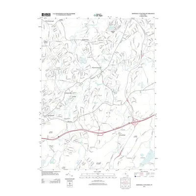
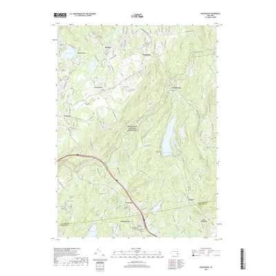
 2023 Hopewell Junction2023 Print · USGSDutchess County in the early twenty-first century remains a landscape of historic hamlets and high-elevation trails. Researchers can trace ancestral sites at Rombout Rural Cem and Van Dyne Cem or follow the Appalachian National Scenic Trail.
 - 2023 Map of Lake Carmel, 2023 Print
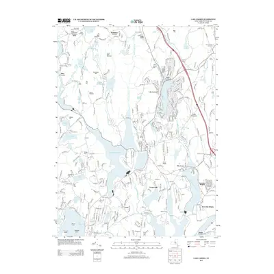
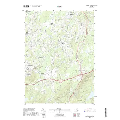
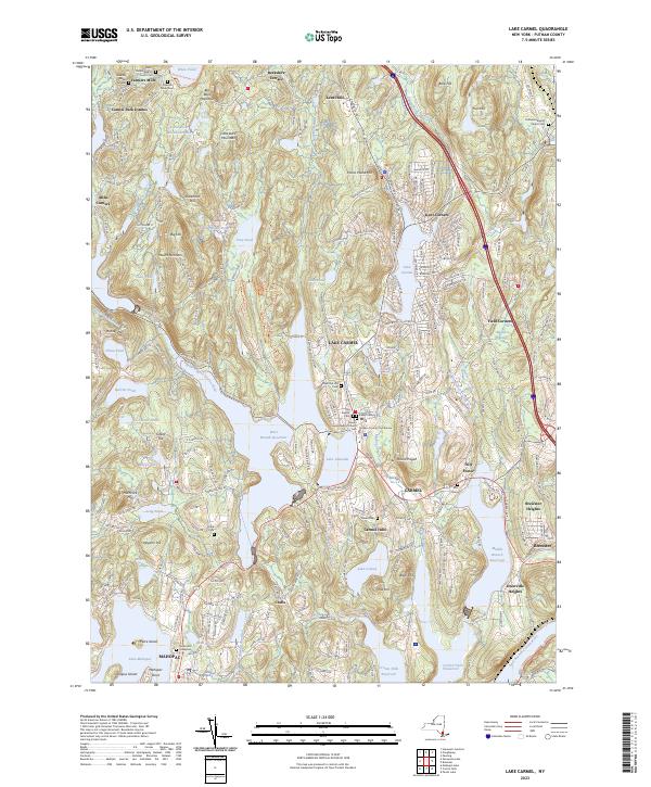 2023 Lake Carmel2023 Print · USGSThe Lake Carmel and Carmel area is shown here in the 2020s, defined by the expansive reservoirs of the Croton Watershed. Genealogists can trace family names at the Smalley Burial Ground, Raymond Hill Cemetery, and Gilead Cem.
 - 2023 Map of Oscawana Lake, 2023 Print
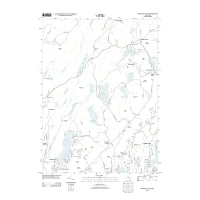
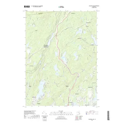
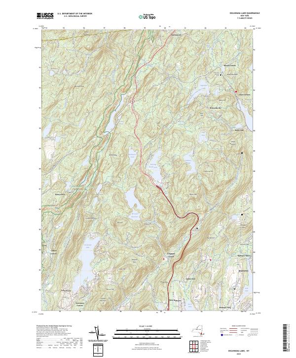 2023 Oscawana Lake2023 Print · USGSPutnam County's highlands and watersheds are captured here in the early twenty-first century, featuring a dense network of reservoirs and trails. Researchers can trace old family burials at Hill Cem and Bailey Cem or locate the industrial footprint of the Mahopac Mines.
 - 2023 Map of Poughquag, 2023 Print
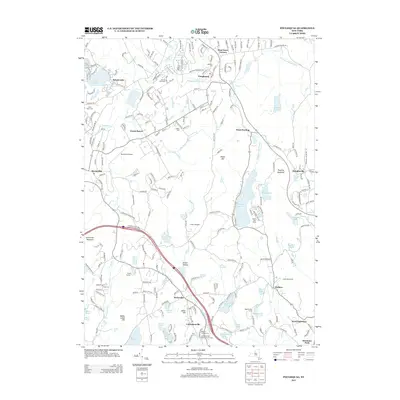
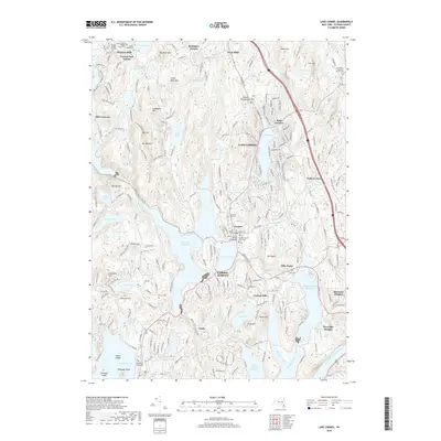
 2023 Poughquag2023 Print · USGSThe Dutchess and Putnam borderlands are captured here in the early twenty-first century, showing a landscape shaped by high ridges and valley hamlets. Researchers can trace historic family burial sites like Flagler Cem or follow the Appalachian National Scenic Trail past West Pawling and Whaley Lake.
End of results
Showing maps 1-20 of 20
Top cities near Kent
- Danbury historical maps
- Poughkeepsie historical maps
- Cortlandt historical maps
- Yorktown historical maps
- Carmel historical maps
- Newburgh historical maps
See more
Top neighborhoods of Kent
- Richardsville historical maps
- Kent Cliffs historical maps
- Farmers Mills historical maps
- Ludingtonville historical maps
- Meads Corners historical maps
- Allen Corners historical maps
See more
Frequently asked questions
- What are the different types of historical maps available for Kent?
- What is the oldest map of Kent?
- Where can I purchase historical maps of Kent for my home or office?
- Where can I download high-res historical maps of Kent?
- Are there historical topographic maps available for Kent?
- Is there historical aerial imagery available for Kent?
- Where are historical maps of Kent sourced from?