2010s Maps of Patterson, New York
Explore 16 historic maps of Patterson from the 2010s. These maps offer a rare glimpse into what life looked like during the 2010s — showing old roads, neighborhoods, homes, and landmarks that have changed or disappeared over time.
Whether you're researching your family's past, planning a metal detecting trip, or studying how Patterson's landscape evolved across the 2010s, these high-resolution maps are a powerful tool for exploring the history of this region.
- Focus on a specific era: All maps on this page are from the 2010s, giving you a focused view of this time period.
- See what’s changed: Compare century-old streets, trails, and buildings to today's modern landscape using overlays and satellite layers.
- Research with precision: Use these maps for genealogy, historical research, land use analysis, or educational projects.
- View, download, or print: Maps are fully viewable online in high resolution, and can be downloaded or printed for your own records.
Start exploring Patterson's history through authentic maps from the 2010s. This is your window into the past.
Patterson, NY maps
(16)- 2010 Map of Lake Carmel, 2010 Print
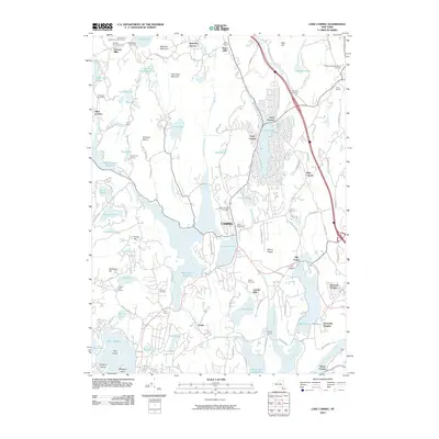 2010 Lake Carmel2010 Print · USGSCarmel and the Putnam County highlands are shown here in the early twenty-first century, revealing a landscape shaped by vast reservoirs and historic burial grounds. Researchers can trace family roots at Raymond Hill Cemetery and Ellis Cemetery or locate old settlements like Tilly Foster and Farmers Mills.
 - 2010 Map of Poughquag, 2010 Print
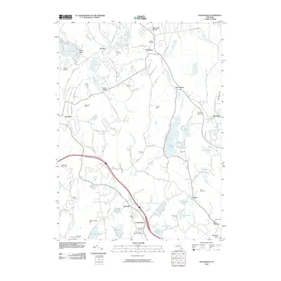 2010 Poughquag2010 Print · USGSDutchess County at the start of the 2010s reveals a landscape of active orchards, historic cemeteries, and recreational camps. Researchers can trace local lineage through sites like Beekman Cemetery or explore the geography of Whaley Lake and the Stormville Airport.
 - 2010 Map of Brewster, 2010 Print
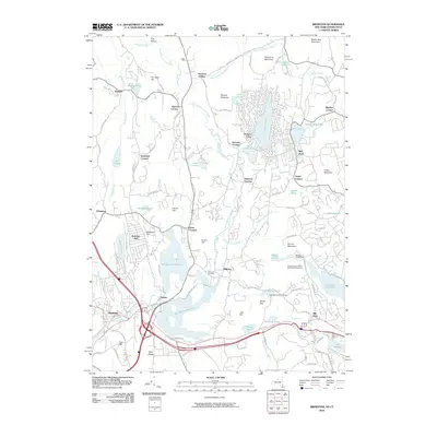 2010 Brewster2010 Print · USGSDanbury and Brewster appear in the early 21st century as a landscape defined by significant water reservoirs and suburban clusters. Genealogists and local historians can trace family locations near Sodom, Milltown Cemetery, and the historic Mill Plain settlement.
 - 2010 Map of Pawling, 2010 Print
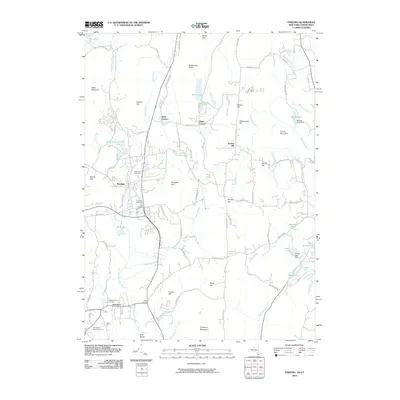 2010 Pawling2010 Print · USGSThe rural borderlands of New York and Connecticut are captured in the early 2000s, showing a landscape defined by high ridges and early crossroads. Genealogists can trace burial sites like the Old Baptist Burying Ground and historic hamlets including Hurd Corners and Baker Corner.
 - 2013 Map of Poughquag, 2013 Print
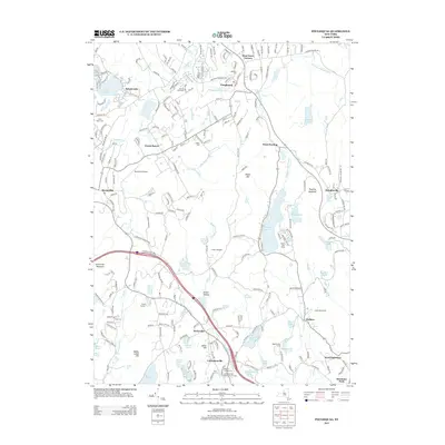 2013 Poughquag2013 Print · USGSDutchess County at the start of the 2010s shows a landscape where historic hamlets meet modern transit corridors. Researchers can trace local heritage through the Ludingtonville Baptist Church, several small burial grounds like Beekman Cem, and the waters of Whaley Lake.
 - 2013 Map of Pawling, 2013 Print
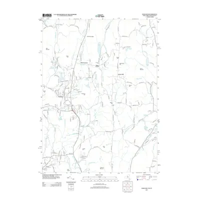 2013 Pawling2013 Print · USGSThe rural borders of New York and Connecticut are captured here in the early twenty-first century as the landscape transitioned between old farmland and residential corridors. Researchers can locate family heritage sites like Maple Avenue Cem and Old Baptist Burying Ground or trace the early settlement at Hurd Corners.
 - 2013 Map of Lake Carmel, 2013 Print
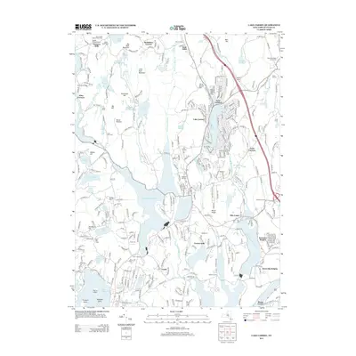 2013 Lake Carmel2013 Print · USGSThe Putnam County highlands near the turn of the decade show a landscape of interconnected reservoirs and hilltop settlements. Genealogists and local historians can trace family landmarks at Smalley Burying Ground, Raymond Hill Cem, and the historic hamlet of Tilly Foster.
 - 2013 Map of Brewster, 2013 Print
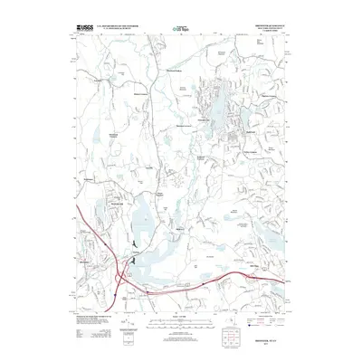 2013 Brewster2013 Print · USGSThe borderlands of New York and Connecticut are captured here in the early twenty-first century as suburban growth meets managed reservoirs. Researchers can trace local heritage through the Milltown Cem and established settlements like Brewster and Sodom.
 - 2016 Map of Lake Carmel, 2016 Print
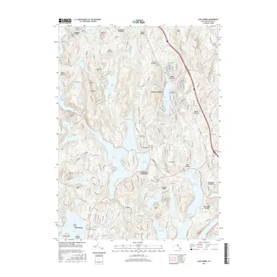 2016 Lake Carmel2016 Print · USGSPutnam County's lake-rich landscape is captured here in the mid-2010s, showing the settled hubs of Carmel Hamlet and Mahopac. Genealogists and historians can trace numerous family burial grounds, including the Smalley Burying Ground, Crane Cem, and the historic Tilly Foster area.
 - 2016 Map of Pawling, 2016 Print
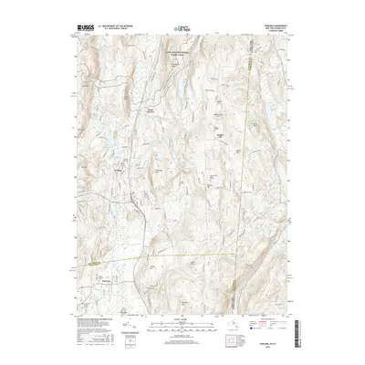 2016 Pawling2016 Print · USGSThe New York-Connecticut borderlands come into focus in the mid-2010s, showing a landscape defined by the expansive Great Swamp and the ridges of the Hudson Highlands. Genealogists can trace deep local roots through the Akin Family Burial Ground, Watts Cem, and the settlement at Quaker Hill.
 - 2016 Map of Brewster, 2016 Print
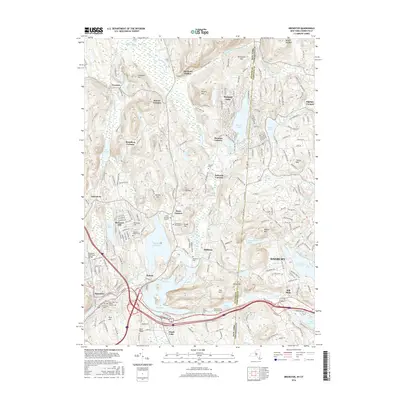 2016 Brewster2016 Print · USGSThe interstate borderlands of New York and Connecticut come to life in this detailed 2016 survey, where the Croton watershed meets the western edge of the Berkshires. Genealogists can trace early homesteads and burial sites like the Sears Burying Ground and hamlets like Haviland Hollow and Sodom.
 - 2016 Map of Poughquag, 2016 Print
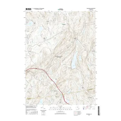 2016 Poughquag2016 Print · USGSThe Hudson Valley highlands in the mid-2010s feature a blend of deep-woods trails and historic valley settlements. Researchers can trace local lineage through sites like Saint Denis Cem or explore the rugged corridor of the Appalachian National Scenic Trail.
 - 2019 Map of Pawling, 2019 Print
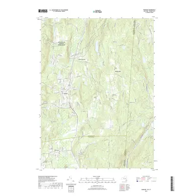 2019 Pawling2019 Print · USGSThe Harlem Valley highlands come into focus in this recent survey of the New York and Connecticut borderlands. Genealogists and hikers can trace the Appalachian National Scenic Trail as it passes near Quaker Hill Cem and the Akin Family Burial Ground.
 - 2019 Map of Poughquag, 2019 Print
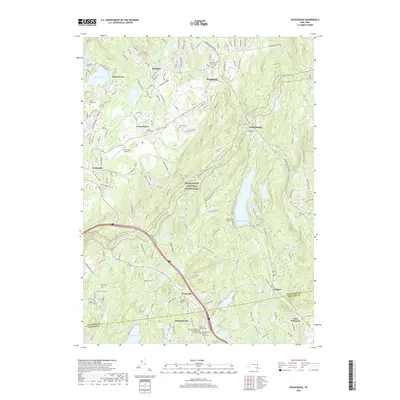 2019 Poughquag2019 Print · USGSDutchess and Putnam Counties are captured here in a moment where suburban development meets protected wilderness. Researchers can trace historic family burial sites like Flagler Cem and Beekman Cem or follow the route of the Appalachian National Scenic Trail.
 - 2019 Map of Lake Carmel, 2019 Print
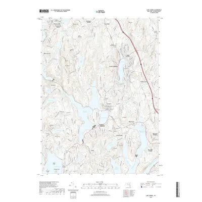 2019 Lake Carmel2019 Print · USGSPutnam County's lake-rich landscape is documented here in the late twenty-teens, showing the dense network of reservoirs and suburban hamlets. Researchers can locate family histories at Raymond Hill Cem or trace the civic center around the Putnam County Courthouse and Gilead Cem.
 - 2019 Map of Brewster, 2019 Print
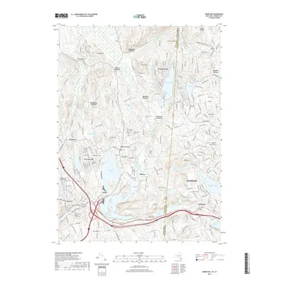 2019 Brewster2019 Print · USGSThe interstate borderlands of New York and Connecticut are captured here in the late twenty-tens, showing the residential and hydrological network around Brewster. Genealogists can trace family names at the Sears Burying Ground or the Haines Family Burial Ground while following the path of the Metro-North Harlem Line.
End of results
Showing maps 1-16 of 16
Top cities near Patterson
- Danbury historical maps
- Yorktown historical maps
- Carmel historical maps
- East Fishkill historical maps
- Wappinger historical maps
- Ridgebury historical maps
See more
Top neighborhoods of Patterson
- Putnam Lake historical maps
- West Patterson historical maps
- Haines Corners historical maps
- Field Corners historical maps
- Steinbeck Corners historical maps
- Towners historical maps
Frequently asked questions
- What are the different types of historical maps available for Patterson?
- What is the oldest map of Patterson?
- Where can I purchase historical maps of Patterson for my home or office?
- Where can I download high-res historical maps of Patterson?
- Are there historical topographic maps available for Patterson?
- Is there historical aerial imagery available for Patterson?
- Where are historical maps of Patterson sourced from?