Old Maps of Canton, New York for Genealogy
Trace your family roots with 57 historic maps of Canton. These high-res maps reveal old neighborhoods, homesites, landmarks, and streets — helping you uncover where your ancestors lived and how the area evolved over time.
- Explore historic neighborhoods: Identify where your relatives may have lived in the 1800s or 1900s.
- Compare maps over time: Trace the changes in streets, buildings, and landmarks for multi-generational research.
- Perfect for genealogy & ancestry research: Used by family historians and researchers to map out lineage and migration.
These maps are an incredible resource for exploring your personal connection to Canton's past.
Canton, NY maps
(57)- 1904 Map of Ogdensburg, 1957 Print
 1904 Ogdensburg1957 Print · USGSEarly 20th-century St. Lawrence County is defined here by the busy rail and river crossroads of Ogdensburg and its agricultural surroundings. Researchers can locate long-lost rural landmarks like Kings Corners Kokomo PO, the Bell Schoolhouse, and the sprawling St Lawrence State Hospital.
 - 1905 Map of Ogdensburg
 1905 Ogdensburg1905 Print · USGSOgdensburg and the St. Lawrence River frontier are captured here in the era of steam rail and rural post offices. Local researchers can trace old family names at Northrup Cors, locate the Fish Creek Church, or follow the river to Heuvelton and the Lost Village.4 unique versions available
 - 1910 Map of Canton, 1956 Print
 1910 Canton1956 Print · USGSSt. Lawrence County is captured here in the early twentieth century as a busy corridor of rail travel and river-powered industry. Researchers can locate family homesteads near Crary Mills, Langdon Corners, or the historic Brick Chapel along the Grass River.
 - 1911 Map of Canton
 1911 Canton1911 Print · USGSNorthern St. Lawrence County is captured here in the early twentieth century as a busy corridor of river-powered industry and rail transport. Genealogists and historians can trace the foundations of Canton and Potsdam or locate smaller rural hubs like Brick Chapel and Pyrites.4 unique versions available
 - 1915 Map of Russell, 1958 Print
 1915 Russell1958 Print · USGSSt. Lawrence County was a landscape of remote school districts and family-named crossroads when this survey was conducted during the First World War. Local historians can trace the foundations of the regional iron industry at the Clifton Furnace Ruins or locate vanished rural centers like Pond Settlement and Whippoorwill Corners.
 - 1918 Map of Russell
 1918 Russell1918 Print · USGSSt. Lawrence County during the First World War era reveals a landscape of isolated farmsteads and rural school districts connected by winding rivers. Researchers can locate long-forgotten sites like the Clifton Furnace Ruins, the Scotland School, and the remote Pond Settlement.5 unique versions available
 - 1943 Map of Rensselaer Falls
 1943 Rensselaer Falls1943 Print · USGSSt. Lawrence County in the early 1940s is shown here as a landscape of rural school districts and river-bound settlements. You can trace family homesteads near Kendrew Corners or follow the New York Central rail lines into DeKalb Junction.
 - 1943 Map of Lisbon
 1943 Lisbon1943 Print · USGSLisbon and the surrounding St. Lawrence County farm country are captured here during the early 1940s. Genealogists can trace family connections through a dozen local schools and landmarks like White Ch, Flackville Cem, and the Rutland rail line.
 - 1944 Map of Canton
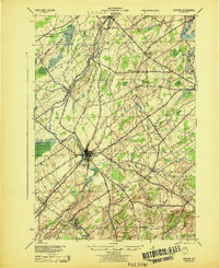 1944 Canton1944 Print · USGSSt. Lawrence County was a landscape of river-powered hamlets and busy rail corridors during the mid-forties. Researchers can trace the layout of Canton and Potsdam or find smaller family-named junctions like Casey Corners, Langdon Corners, and Slab City.
 - 1948 Map of Ogdensburg, 1973 Print
 1948 Ogdensburg1973 Print · USGSThe international border along the St Lawrence River comes to life in the late 1940s, showing the vital rail and water connections between New York and Ontario. Researchers can trace the grounds of St Lawrence University, the massive Camp Drum military reservation, and the historic Rideau River and Canal.2 unique versions available
 - 1951 Map of Ogdensburg
 1951 Ogdensburg1951 Print · USGSThe St. Lawrence frontier and the North Country are captured here during the post-war era, from the river ports to the high Adirondacks. Genealogists and historians can trace the rail-and-river economy through Ogdensburg, the Rutland rail lines, and Potsdam.
 - 1953 Map of Ogdensburg
 1953 Ogdensburg1953 Print · USGSThe North Country and St. Lawrence Valley are shown here in the early fifties, just as the region’s rail-and-river economy remained in full swing. Genealogists and historians can trace family-named corners and rural hubs along the Rutland railroad or locate heritage sites near Ogdensburg, Potsdam, and the St Regis Indian Reservation.
 - 1961 Map of Ogdensburg
 1961 Ogdensburg1961 Print · USGSThe St. Lawrence valley and the Adirondack high country meet in this early sixties survey during a peak era for rail and river commerce. Genealogists and historians can trace the paths of the New York Central railroad through remote settlements like Wanakena, Conifer, and Piercefield.
 - 1963 Map of Rensselaer Falls, 1965 Print
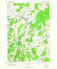 1963 Rensselaer Falls1965 Print · USGSSt. Lawrence County in the early sixties is anchored by the river-and-rail corridor connecting Rensselaer Falls and De Kalb Junction. Genealogists can locate family landmarks like Walruth Cem, Kendrew Cem, and the historic settlement at Coopers Falls.
 - 1963 Map of Lisbon, 1965 Print
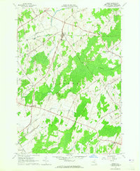 1963 Lisbon1965 Print · USGSLisbon and its surrounding St. Lawrence County hamlets are captured here in the early sixties, showing a landscape of rural crossroads and farming tracts. Genealogists can trace family names and local landmarks like the Covenanter Ch, Flackville Cem, and several Gravel Pits.2 unique versions available
 - 1964 Map of West Potsdam, 1965 Print
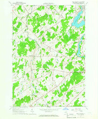 1964 West Potsdam1965 Print · USGSSt. Lawrence County in the mid-1960s was a landscape of river-powered industry and dispersed farming hamlets. Genealogists and historians can trace family locations through rural landmarks like Thompson Sch, Dailey Ridge Ch, and the hamlet of Slab City.
 - 1964 Map of Morley, 1965 Print
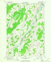 1964 Morley1965 Print · USGSSt. Lawrence County in the mid-1960s is defined here by the winding Grass River and the quiet hamlets of Morley and Madrid Springs. Researchers can trace old family roads and locate several remote burial sites, including Doran Cem and St James Cem.2 unique versions available
 - 1964 Map of Pierrepont, 1966 Print
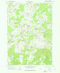 1964 Pierrepont1966 Print · USGSThe rural communities of St. Lawrence County are captured in the mid-1960s, showing a landscape of scattered hamlets and family-named roads. Genealogists and local historians can locate specific landmarks like the White Church Cem, Briek Chapel, and the Giffins Corners Sch.3 unique versions available
 - 1964 Map of Canton, 1966 Print
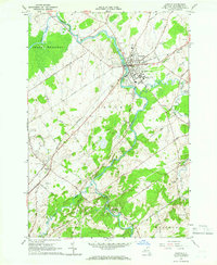 1964 Canton1966 Print · USGSCanton and its surrounding St. Lawrence County countryside are shown here in the mid-sixties, highlighting the region's academic and industrial roots. Researchers can trace the New York Central rail lines and explore old cemeteries like Jerusalem Cem or landmarks like St Lawrence University.2 unique versions available
 - 1966 Map of Hermon, 1971 Print
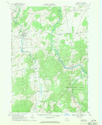 1966 Hermon1971 Print · USGSSt. Lawrence County in the mid-1960s remains a landscape of river-centered villages and rural crossroads settlements. Genealogists and local historians can trace family-named landmarks and old hamlets like Stellaville, Palmerville, and the forest-rimmed Whippoorwill Corners.2 unique versions available
 - 1985 Map of Gouverneur
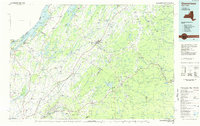 1985 Gouverneur1985 Print · USGSSt. Lawrence and Jefferson Counties are shown in the mid-eighties as a landscape of river-driven industry and expanding military grounds. Genealogists and historians can trace rail lines through Carthage, find local landmarks like Noble Hospital, and locate the boundaries of the Fort Drum Military Reservation.2 unique versions available
 - 1985 Map of Ogdensburg, 1986 Print
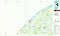 1985 Ogdensburg1986 Print · USGSThe St. Lawrence River valley and the northern New York borderlands are shown here in the mid-1980s, during a period of established institutional and collegiate growth. Researchers can trace the paths of CONRAIL through Potsdam or locate local landmarks like Mater Dei College and Rensselaer Falls.2 unique versions available
 - 2010 Map of Pierrepont, 2010 Print
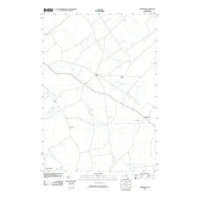 2010 Pierrepont2010 Print · USGSSaint Lawrence County at the start of the 2010s remains a landscape of agricultural crossroads and winding brooks. Genealogists can trace family lines through Pierrepont Hill Cemetery and sites like Brick Chapel or Crary Mills.
 - 2010 Map of Rensselaer Falls, 2010 Print
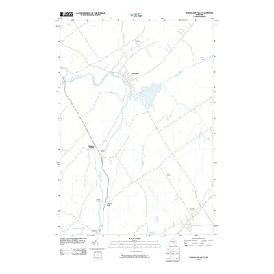 2010 Rensselaer Falls2010 Print · USGSSaint Lawrence County at the start of the 2010s shows a landscape deeply tied to the Oswegatchie River and its rural crossings. Researchers can trace family history at the Walruth Cemetery or locate the historic rail connections at De Kalb Junction.
 - 2010 Map of Lisbon, 2010 Print
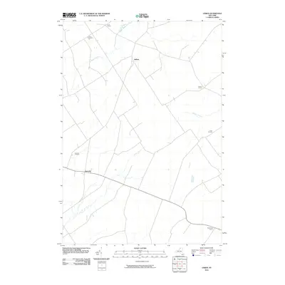 2010 Lisbon2010 Print · USGSSaint Lawrence County appears at the start of the 21st century as a landscape of rural hamlets and old crossroads. Genealogists and local historians can trace burial sites like Lisbon Cemetery or search for family connections near Gregory Corners and Flackville.
Showing maps 1-25 of 57
Top cities near Canton
- Potsdam historical maps
- Potsdam historical maps
- Canton historical maps
- Gouverneur historical maps
- Norfolk historical maps
- Lisbon historical maps
See more
Top neighborhoods of Canton
- Pyrites historical maps
- Morley historical maps
- Eddy historical maps
- Canton historical maps
- Rensselaer Falls historical maps
Frequently asked questions
- What are the different types of historical maps available for Canton?
- What is the oldest map of Canton?
- Where can I purchase historical maps of Canton for my home or office?
- Where can I download high-res historical maps of Canton?
- Are there historical topographic maps available for Canton?
- Is there historical aerial imagery available for Canton?
- Where are historical maps of Canton sourced from?