2000s (21st Century) Maps of Steuben County, New York
Explore 195 historic maps of Steuben County from the 2000s (21st Century). These maps offer a rare glimpse into what life looked like during the 2000s — showing old roads, neighborhoods, homes, and landmarks that have changed or disappeared over time.
Whether you're researching your family's past, planning a metal detecting trip, or studying how Steuben County's landscape evolved across the 2000s, these high-resolution maps are a powerful tool for exploring the history of this region.
- Focus on a specific era: All maps on this page are from the 2000s, giving you a focused view of this time period.
- See what’s changed: Compare century-old streets, trails, and buildings to today's modern landscape using overlays and satellite layers.
- Research with precision: Use these maps for genealogy, historical research, land use analysis, or educational projects.
- View, download, or print: Maps are fully viewable online in high resolution, and can be downloaded or printed for your own records.
Start exploring Steuben County's history through authentic maps from the 2000s. This is your window into the past.
Steuben County, NY maps
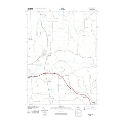
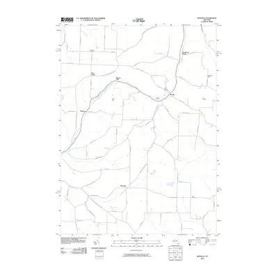
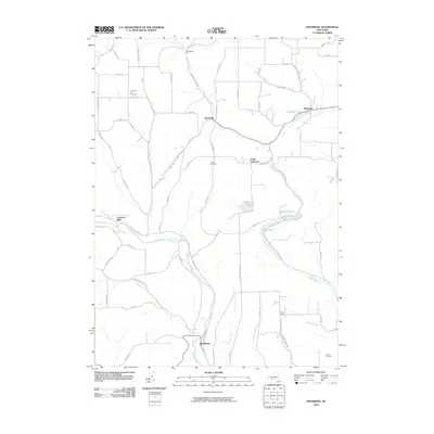
(195)- 2010 Map of Big Flats, 2010 Print
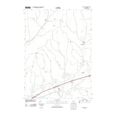 2010 Big Flats2010 Print · USGSCovers Steuben County, including Big Flats, Corning, and other nearby areas
 - 2010 Map of Beaver Dams, 2010 Print
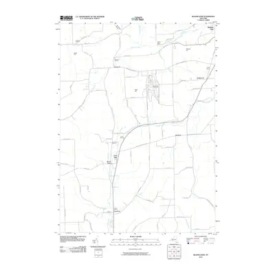 2010 Beaver Dams2010 Print · USGSCovers Steuben County, including Dix, Catlin, and other nearby areas
 - 2010 Map of Bath, 2010 Print
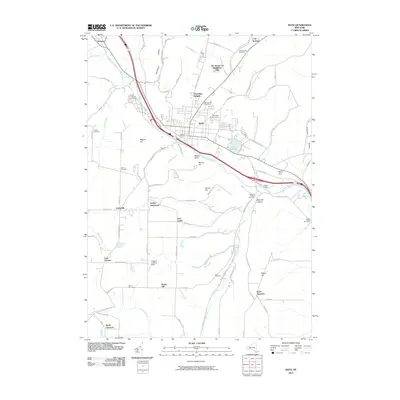 2010 Bath2010 Print · USGSCovers Steuben County, including Bath, Bath, and other nearby areas
 - 2010 Map of Towlesville, 2010 Print
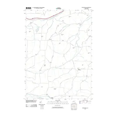 2010 Towlesville2010 Print · USGSCovers Steuben County, including Bath, Canisteo, and other nearby areas
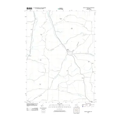
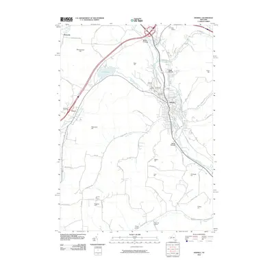
 - 2010 Map of Hammondsport, 2010 Print
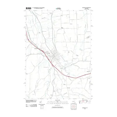
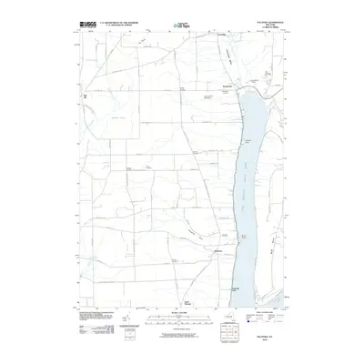
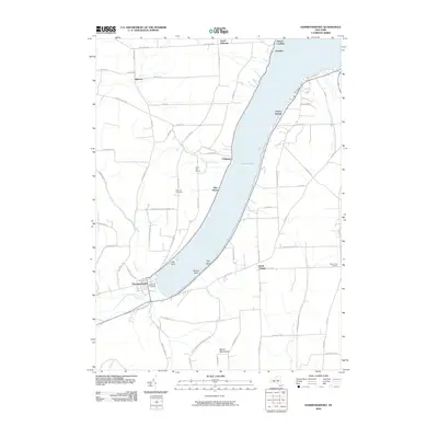 2010 Hammondsport2010 Print · USGSCovers Steuben County, including Jerusalem, Urbana, and other nearby areas
 - 2010 Map of Canisteo, 2010 Print
 2010 Canisteo2010 Print · USGSCovers Steuben County, including Hornellsville, Canisteo, and other nearby areas
 - 2010 Map of Wayne, 2010 Print
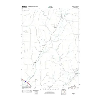
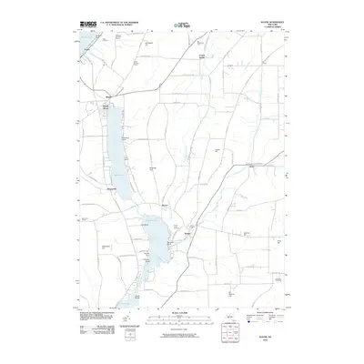 2010 Wayne2010 Print · USGSCovers Steuben County, including Jerusalem, Tyrone, and other nearby areas
 - 2010 Map of Bradford, 2010 Print
 2010 Bradford2010 Print · USGSCovers Steuben County, including Campbell, Hornby, and other nearby areas
 - 2010 Map of Avoca, 2010 Print
 2010 Avoca2010 Print · USGSCovers Steuben County, including Bath, Cohocton, and other nearby areas
 - 2010 Map of Dansville, 2010 Print
 2010 Dansville2010 Print · USGSCovers Steuben County, including North Dansville, Dansville, and other nearby areas
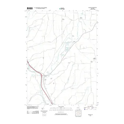
 - 2010 Map of Rheims, 2010 Print
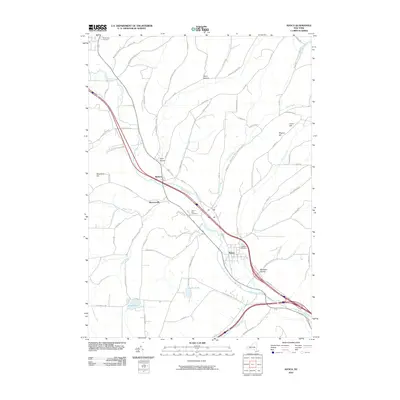
 2010 Rheims2010 Print · USGSCovers Steuben County, including Bath, Urbana, and other nearby areas
 - 2010 Map of Cameron, 2010 Print
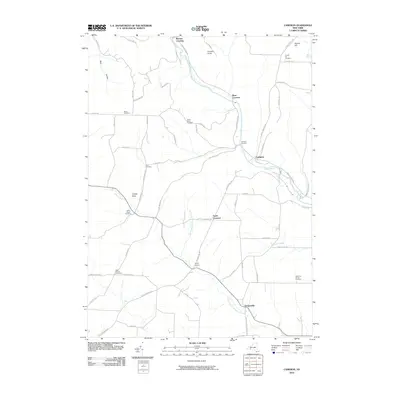 2010 Cameron2010 Print · USGSCovers Steuben County, including Canisteo, Woodhull, and other nearby areas
 - 2010 Map of Wayland, 2010 Print
 2010 Wayland2010 Print · USGSCovers Steuben County, including Wayland, Springwater, and other nearby areas
 - 2010 Map of Campbell, 2010 Print
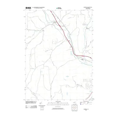 2010 Campbell2010 Print · USGSCovers Steuben County, including Erwin, Gang Mills, and other nearby areas
 - 2010 Map of Savona, 2010 Print
 2010 Savona2010 Print · USGSCovers Steuben County, including Bath, Campbell, and other nearby areas
 - 2010 Map of Corning, 2010 Print
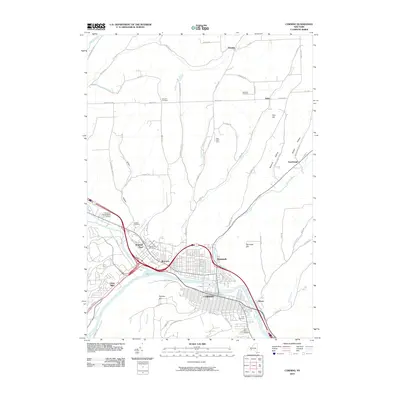 2010 Corning2010 Print · USGSCovers Steuben County, including Corning, Erwin, and other nearby areas
 - 2010 Map of South Canisteo, 2010 Print
 2010 South Canisteo2010 Print · USGSCovers Steuben County, including Canisteo, Jasper, and other nearby areas
 - 2010 Map of Arkport, 2010 Print
 2010 Arkport2010 Print · USGSCovers Steuben County, including Hornell, Hornellsville, and other nearby areas
 - 2010 Map of Greenwood, 2010 Print
 2010 Greenwood2010 Print · USGSCovers Steuben County, including Alfred, Canisteo, and other nearby areas
 - 2010 Map of Haskinville, 2010 Print
 2010 Haskinville2010 Print · USGSCovers Steuben County, including Wayland, Cohocton, and other nearby areas
 - 2010 Map of Rexville, 2010 Print
 2010 Rexville2010 Print · USGSCovers Steuben County, including Andover, Independence, and other nearby areas
 - 2010 Map of Rathbone, 2010 Print
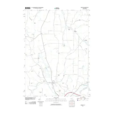
 2010 Rathbone2010 Print · USGSCovers Steuben County, including Addison, Thurston, and other nearby areas
 - 2010 Map of Hornell, 2010 Print
 2010 Hornell2010 Print · USGSCovers Steuben County, including Hornell, Alfred, and other nearby areas
 - 2010 Map of Keuka Park, 2010 Print
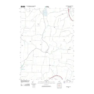
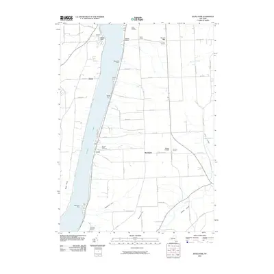 2010 Keuka Park2010 Print · USGSCovers Steuben County, including Milo, Jerusalem, and other nearby areas
 - 2010 Map of Pulteney, 2010 Print
 2010 Pulteney2010 Print · USGSCovers Steuben County, including Jerusalem, Prattsburgh, and other nearby areas
Showing maps 1-25 of 195
Top cities of Steuben County
- Bath historical maps
- Corning historical maps
- Hornell historical maps
- Erwin historical maps
- Corning historical maps
- Hornellsville historical maps
See more
Frequently asked questions
- What are the different types of historical maps available for Steuben County?
- What is the oldest map of Steuben County?
- Where can I purchase historical maps of Steuben County for my home or office?
- Where can I download high-res historical maps of Steuben County?
- Are there historical topographic maps available for Steuben County?
- Is there historical aerial imagery available for Steuben County?
- Where are historical maps of Steuben County sourced from?