Old Maps of Suffolk County, New York
Explore 168 old maps of Suffolk County, spanning from 1889 to today. These high-resolution historic maps reveal how streets, neighborhoods, landmarks, and natural features evolved over time — perfect for genealogy, metal detecting, research, and local history exploration.
What you can do with these maps:
- See how Suffolk County changed over time: Compare historical maps to modern-day views to trace roads, homesites, rail lines & more.
- View detailed metadata: Each map includes creators, publishers, year, scale, and archive source.
- Overlay maps with satellite & LiDAR: Visualize the past alongside modern tools to explore terrain & human change.
- Trusted historical sources: Maps sourced from the USGS, Library of Congress, and other archives.
- Access maps your way: View online, download high-res files, or order prints for personal or research use.
Start exploring old maps of Suffolk County to uncover forgotten places, hidden landmarks, and the deep history beneath your feet.
Suffolk County, NY maps
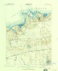
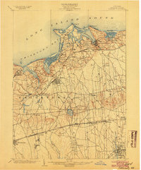
(168)- 1889 Map of Stonington
 1889 Stonington1889 Print · USGSCovers Suffolk County, including Groton, Southold, and other nearby areas
 - 1891 Map of Bridgeport
 1891 Bridgeport1891 Print · USGSCovers Suffolk County, including Brookhaven, Bridgeport, and other nearby areas
 - 1892 Map of Norwalk
 1892 Norwalk1892 Print · USGSCovers Suffolk County, including Huntington, Stamford, and other nearby areas
 - 1892 Map of New London
 1892 New London1892 Print · USGSCovers Suffolk County, including Norwich, Groton, and other nearby areas
 - 1893 Map of Bridgeport
 1893 Bridgeport1893 Print · USGSCovers Suffolk County, including Brookhaven, Bridgeport, and other nearby areas8 unique versions available
 - 1893 Map of Norwalk
 1893 Norwalk1893 Print · USGSCovers Suffolk County, including Huntington, Stamford, and other nearby areas12 unique versions available
 - 1893 Map of Stonington
 1893 Stonington1893 Print · USGSCovers Suffolk County, including Groton, Southold, and other nearby areas10 unique versions available
 - 1893 Map of New London
 1893 New London1893 Print · USGSCovers Suffolk County, including Norwich, Groton, and other nearby areas10 unique versions available
 - 1901 Map of Babylon, 1958 Print
 1901 Babylon1958 Print · USGSCovers Suffolk County, including Hempstead, Islip, and other nearby areas
 - 1901 Map of Northport, 1962 Print
 1901 Northport1962 Print · USGSCovers Suffolk County, including Islip, Oyster Bay, and other nearby areas
 - 1902 Map of Setauket, 1959 Print
 1902 Setauket1959 Print · USGSCovers Suffolk County, including Brookhaven, Islip, and other nearby areas
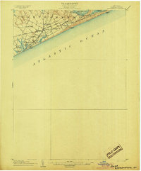
 - 1902 Map of Fire Island, 1962 Print
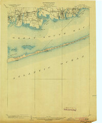
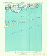 1902 Fire Island1962 Print · USGSCovers Suffolk County, including Brookhaven, Islip, and other nearby areas
 - 1903 Map of Babylon
 1903 Babylon1903 Print · USGSCovers Suffolk County, including Hempstead, Islip, and other nearby areas8 unique versions available
 - 1903 Map of Northport
 1903 Northport1903 Print · USGSCovers Suffolk County, including Islip, Oyster Bay, and other nearby areas8 unique versions available
 - 1903 Map of Fire Island
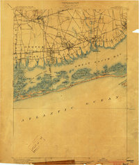
 1903 Fire Island1903 Print · USGSCovers Suffolk County, including Brookhaven, Islip, and other nearby areas6 unique versions available
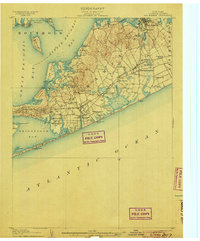
 - 1903 Map of Sag Harbor, 1961 Print
 1903 Sag Harbor1961 Print · USGSCovers Suffolk County, including Southampton, East Hampton, and other nearby areas
 - 1903 Map of Gardiners Island, 1962 Print
 1903 Gardiners Island1962 Print · USGSCovers Suffolk County, including East Hampton, Southold, and other nearby areas
 - 1903 Map of Riverhead, 1963 Print
 1903 Riverhead1963 Print · USGSCovers Suffolk County, including Brookhaven, Southampton, and other nearby areas
 - 1904 Map of Setauket
 1904 Setauket1904 Print · USGSCovers Suffolk County, including Brookhaven, Islip, and other nearby areas7 unique versions available
 - 1904 Map of Islip
 1904 Islip1904 Print · USGSCovers Suffolk County, including Hempstead, Brookhaven, and other nearby areas5 unique versions available
 - 1904 Map of Sag Harbor
 1904 Sag Harbor1904 Print · USGSCovers Suffolk County, including Southampton, East Hampton, and other nearby areas6 unique versions available
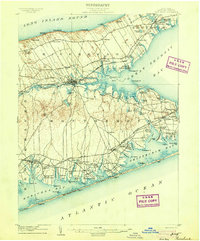
 - 1904 Map of Shelter Island
 1904 Shelter Island1904 Print · USGSCovers Suffolk County, including Southampton, East Hampton, and other nearby areas6 unique versions available
 - 1904 Map of Easthampton
 1904 Easthampton1904 Print · USGSCovers Suffolk County, including Southampton, East Hampton, and other nearby areas6 unique versions available
 - 1904 Map of Gardiners Island
 1904 Gardiners Island1904 Print · USGSCovers Suffolk County, including East Hampton, Southold, and other nearby areas6 unique versions available
 - 1904 Map of Riverhead
 1904 Riverhead1904 Print · USGSCovers Suffolk County, including Brookhaven, Southampton, and other nearby areas9 unique versions available
Showing maps 1-25 of 168
Top cities of Suffolk County
- Brookhaven historical maps
- Islip historical maps
- Babylon historical maps
- Huntington historical maps
- Smithtown historical maps
- Southampton historical maps
See more
Frequently asked questions
- What are the different types of historical maps available for Suffolk County?
- What is the oldest map of Suffolk County?
- Where can I purchase historical maps of Suffolk County for my home or office?
- Where can I download high-res historical maps of Suffolk County?
- Are there historical topographic maps available for Suffolk County?
- Is there historical aerial imagery available for Suffolk County?
- Where are historical maps of Suffolk County sourced from?