2000s (21st Century) Maps of Mamakating, New York
Explore 30 historic maps of Mamakating from the 2000s (21st Century). These maps offer a rare glimpse into what life looked like during the 2000s — showing old roads, neighborhoods, homes, and landmarks that have changed or disappeared over time.
Whether you're researching your family's past, planning a metal detecting trip, or studying how Mamakating's landscape evolved across the 2000s, these high-resolution maps are a powerful tool for exploring the history of this region.
- Focus on a specific era: All maps on this page are from the 2000s, giving you a focused view of this time period.
- See what’s changed: Compare century-old streets, trails, and buildings to today's modern landscape using overlays and satellite layers.
- Research with precision: Use these maps for genealogy, historical research, land use analysis, or educational projects.
- View, download, or print: Maps are fully viewable online in high resolution, and can be downloaded or printed for your own records.
Start exploring Mamakating's history through authentic maps from the 2000s. This is your window into the past.
Mamakating, NY maps
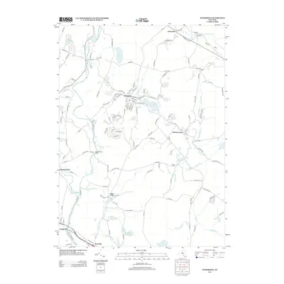
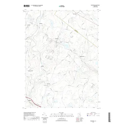
(30)- 2010 Map of Woodridge, 2010 Print
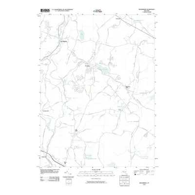 2010 Woodridge2010 Print · USGSCovers Mamakating, including Thompson, Fallsburg, and other nearby areas
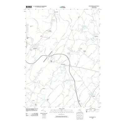
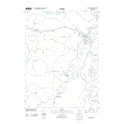
 - 2010 Map of Otisville, 2010 Print
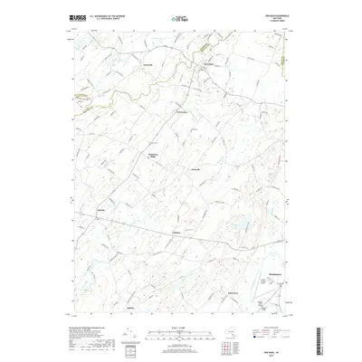
 2010 Otisville2010 Print · USGSCovers Mamakating, including Wallkill, Wawayanda, and other nearby areas
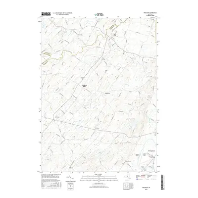
 - 2010 Map of Pine Bush, 2010 Print
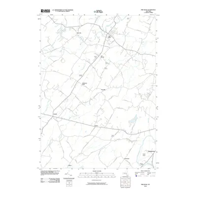 2010 Pine Bush2010 Print · USGSCovers Mamakating, including Wallkill, Montgomery, and other nearby areas
 - 2010 Map of Wurtsboro, 2010 Print
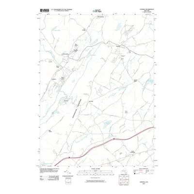
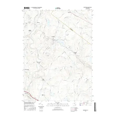
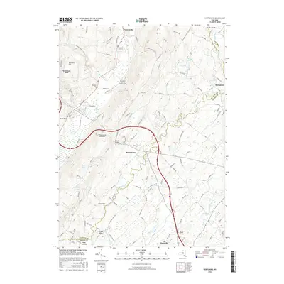
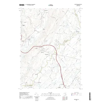
 2010 Wurtsboro2010 Print · USGSCovers Mamakating, including Wallkill, Shawangunk, and other nearby areas
 - 2010 Map of Yankee Lake, 2010 Print
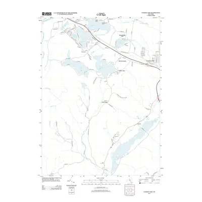
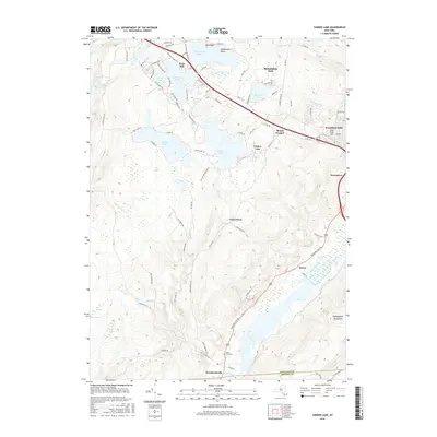
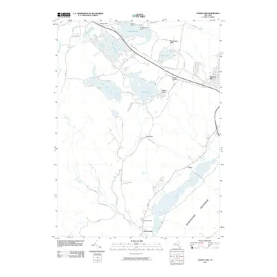 2010 Yankee Lake2010 Print · USGSCovers Mamakating, including Thompson, Deerpark, and other nearby areas
 - 2010 Map of Ellenville, 2010 Print
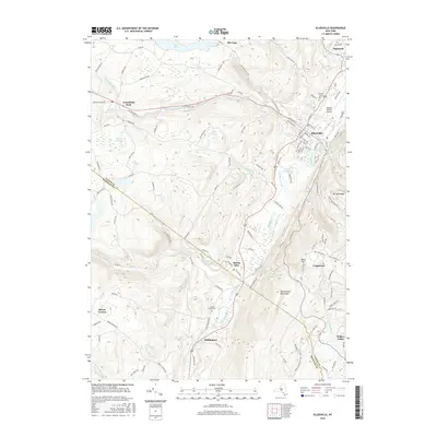
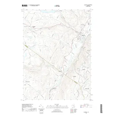
 2010 Ellenville2010 Print · USGSCovers Mamakating, including Fallsburg, Shawangunk, and other nearby areas
 - 2013 Map of Otisville, 2013 Print
 2013 Otisville2013 Print · USGSCovers Mamakating, including Wallkill, Wawayanda, and other nearby areas
 - 2013 Map of Pine Bush, 2013 Print
 2013 Pine Bush2013 Print · USGSCovers Mamakating, including Wallkill, Montgomery, and other nearby areas
 - 2013 Map of Woodridge, 2013 Print
 2013 Woodridge2013 Print · USGSCovers Mamakating, including Thompson, Fallsburg, and other nearby areas
 - 2013 Map of Yankee Lake, 2013 Print
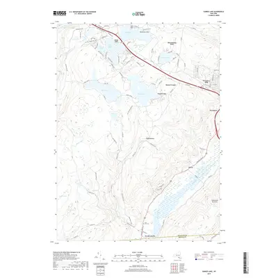
 2013 Yankee Lake2013 Print · USGSCovers Mamakating, including Thompson, Deerpark, and other nearby areas
 - 2013 Map of Ellenville, 2013 Print
 2013 Ellenville2013 Print · USGSCovers Mamakating, including Fallsburg, Shawangunk, and other nearby areas
 - 2013 Map of Wurtsboro, 2013 Print
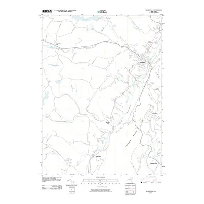
 2013 Wurtsboro2013 Print · USGSCovers Mamakating, including Wallkill, Shawangunk, and other nearby areas
 - 2016 Map of Ellenville, 2016 Print
 2016 Ellenville2016 Print · USGSCovers Mamakating, including Fallsburg, Shawangunk, and other nearby areas
 - 2016 Map of Woodridge, 2016 Print
 2016 Woodridge2016 Print · USGSCovers Mamakating, including Thompson, Fallsburg, and other nearby areas
 - 2016 Map of Pine Bush, 2016 Print
 2016 Pine Bush2016 Print · USGSCovers Mamakating, including Wallkill, Montgomery, and other nearby areas
 - 2016 Map of Otisville, 2016 Print
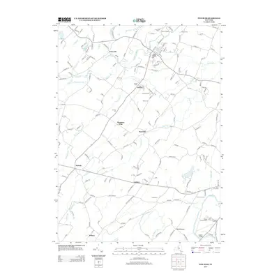
 2016 Otisville2016 Print · USGSCovers Mamakating, including Wallkill, Wawayanda, and other nearby areas
 - 2016 Map of Yankee Lake, 2016 Print
 2016 Yankee Lake2016 Print · USGSCovers Mamakating, including Thompson, Deerpark, and other nearby areas
 - 2016 Map of Wurtsboro, 2016 Print
 2016 Wurtsboro2016 Print · USGSCovers Mamakating, including Wallkill, Shawangunk, and other nearby areas
 - 2019 Map of Yankee Lake, 2019 Print
 2019 Yankee Lake2019 Print · USGSCovers Mamakating, including Thompson, Deerpark, and other nearby areas
 - 2019 Map of Pine Bush, 2019 Print
 2019 Pine Bush2019 Print · USGSCovers Mamakating, including Wallkill, Montgomery, and other nearby areas
 - 2019 Map of Ellenville, 2019 Print
 2019 Ellenville2019 Print · USGSCovers Mamakating, including Fallsburg, Shawangunk, and other nearby areas
 - 2019 Map of Otisville, 2019 Print
 2019 Otisville2019 Print · USGSCovers Mamakating, including Wallkill, Wawayanda, and other nearby areas
 - 2019 Map of Wurtsboro, 2019 Print
 2019 Wurtsboro2019 Print · USGSCovers Mamakating, including Wallkill, Shawangunk, and other nearby areas
 - 2019 Map of Woodridge, 2019 Print
 2019 Woodridge2019 Print · USGSCovers Mamakating, including Thompson, Fallsburg, and other nearby areas
 - 2023 Map of Ellenville, 2023 Print
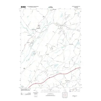
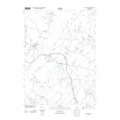
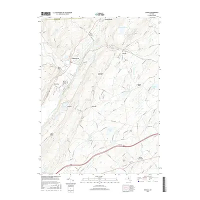
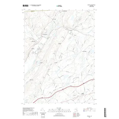
 2023 Ellenville2023 Print · USGSThe Ellenville valley in Ulster County is captured here in the 2020s, showing the intersection of mountain geography and historic transport corridors. Genealogists can trace family sites near Fantinekill Cem or explore the route of the Delaware and Hudson Canal near Spring Glen.
Showing maps 1-25 of 30
Top cities near Mamakating
- Wallkill historical maps
- Middletown historical maps
- Montgomery historical maps
- Thompson historical maps
- Goshen historical maps
- Fallsburg historical maps
See more
Top neighborhoods of Mamakating
- Mamakating Park historical maps
- Culvertown historical maps
- Haven historical maps
- Winterton historical maps
- High View historical maps
- Mount Vernon historical maps
See more
Frequently asked questions
- What are the different types of historical maps available for Mamakating?
- What is the oldest map of Mamakating?
- Where can I purchase historical maps of Mamakating for my home or office?
- Where can I download high-res historical maps of Mamakating?
- Are there historical topographic maps available for Mamakating?
- Is there historical aerial imagery available for Mamakating?
- Where are historical maps of Mamakating sourced from?