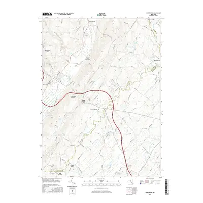
2016 Map of Wurtsboro
USGS Topo · Published 2016About this map
The Shawangunk Mountains dominate this 2016 survey, forming a dramatic ridgeline that separates the drainage basins of the Basher Kill to the west and the Shawangunk Kill to the east. This topography has historically dictated the settlement patterns of the region, concentrating towns like Wurtsboro and Bloomingburg along the base of the slopes. The mountain pass at High View serves as a critical transit point, where the landscape transitions between the rolling hills of the Wurtsboro Hills and the valley floor.
Find a feature on this map
140 named features on this map. Tap any name to fly to it.
Don’t see what you’re looking for? This feature index may not catch every label — zoom into the map to look around manually.
Map Details
Editions of this 2016 Wurtsboro Map
This is the sole edition of this map. No revisions or reprints were ever made.
Other maps of this area

1904 · Ellenville
USGS Topo · 1:62,500

1906 · Ellenville
USGS Topo · 1:62,500

1906 · Port Jervis
USGS Topo · 1:62,500

1906 · Goshen
USGS Topo · 1:62,500

1908 · Goshen
USGS Topo · 1:62,500

1908 · Port Jervis
USGS Topo · 1:62,500

1909 · Monticello
USGS Topo · 1:62,500

1911 · Monticello
USGS Topo · 1:62,500

1938 · Goshen
USGS Topo · 1:62,500

1942 · Goshen
USGS Topo · 1:24,000