Old Maps of Barton, New York for Metal Detecting
Plan your next treasure hunt with 65 historic maps of Barton. Find old homesites, ghost towns, trails, and gathering spots that may be lost to time — perfect for identifying promising metal detecting locations.
- Locate forgotten sites: Uncover places like long-lost settlements, abandoned rail lines, or gathering spots.
- Plan better hunts: Use map overlays combined with LiDAR or satellite views to narrow in on historically rich areas.
- Made for detectorists: Thousands of hobbyists use these maps to discover relics, coins, and hidden history.
Use these historic maps to boost your research and find new opportunities beneath the surface of Barton.
Barton, NY maps
(65)- 1902 Map of Waverly
 1902 Waverly1902 Print · USGSThe Chemung River valley and the Pennsylvania borderlands come alive in this turn-of-the-century survey of Tioga and Chemung counties. Genealogists and rail historians can trace defunct stations and crossroads like Van Etten Junction, Owens Mills, and the village of Wellsburg.7 unique versions available
 - 1903 Map of Owego
 1903 Owego1903 Print · USGSTioga County at the turn of the century is defined by its busy river landings and a dense web of competing railroads. Genealogists and historians can trace old property sites near Deans Tannery, Halsey Valley, and the rural crossroads of Straits Corners.6 unique versions available
 - 1905 Map of Watkins Glen
 1905 Watkins Glen1905 Print · USGSThe Finger Lakes and Southern Tier regions are captured at the start of the century, showing a landscape defined by deep glens and heavy rail. Genealogists and historians can trace the paths of the Northern Central RR through Watkins or locate family sites near Burdett and Horseheads.4 unique versions available
 - 1906 Map of Catatonk
 1906 Catatonk1906 Print · USGSThe Southern Tier and Finger Lakes foothills are shown here at the peak of the rail era, before the expansion of modern highways. Genealogists can locate family lands near Slaterville Springs, trace the Lehigh Valley RR, or find early sites like White Church.
 - 1923 Map of Towanda
 1923 Towanda1923 Print · USGSBradford County in the early twenties shows a bustling river-and-rail landscape centered on the Susquehanna River. Researchers can trace dozens of named schools like Cebu School and Shores Hill School or locate family roots in hamlets like Bumpville and Allis Hollow.
 - 1926 Map of Towanda
 1926 Towanda1926 Print · USGSBradford County was a landscape of concentrated rural communities and river-valley commerce during the mid-twenties. Genealogists and local historians can trace hundreds of property-level details, from the Cottonhollow School to the banks of Lake Wesauking and Wysox.4 unique versions available
 - 1939 Map of Sayre, 1966 Print
 1939 Sayre1966 Print · USGSBradford County’s river valleys and upland farms are captured here just before the war, when the Lehigh Valley Railroad powered the bustling junction at Sayre. Researchers can trace old family sites at Ayers Crossroads, local landmarks like Luthers Mills, and several rural schools including Harkness Sch.
 - 1942 Map of Sayre
 1942 Sayre1942 Print · USGSThe river confluence at Sayre and Athens stands as a major rail and industrial center in the years before the war. Family historians can trace rural roots through numerous upland landmarks like Harkness Cem, Riggs Ch, and the Doty Hill Sch.2 unique versions available
 - 1943 Map of Towanda, 1944 Print
 1943 Towanda1944 Print · USGSTowanda and the Susquehanna River valley are captured here during the mid-1940s, showing a landscape defined by river-rail transit and upland farming. Genealogists can locate dozens of country schools and churches, from Pine Grove Sch to the Bald Eagle Ch.
 - 1948 Map of Sayre
 1948 Sayre1948 Print · USGSThe twin rivers of Bradford County meet in the late 1940s, defining a landscape shaped by the Lehigh Valley railroad and valley agriculture. Genealogists can trace early homesteads and landmarks like Harknessburg Cem, Doty Hill Sch, and Ridgebury Chapel.3 unique versions available
 - 1950 Map of Elmira
 1950 Elmira1950 Print · USGSThe Finger Lakes region thrived in the late 1940s as a hub of industry and transport. Trace family roots and vanished landmarks near Seneca Lake or explore the rail lines of the Erie RR and the sprawling Seneca Ordnance Depot.2 unique versions available
 - 1953 Map of Barton, 1955 Print
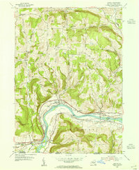 1953 Barton1955 Print · USGSThe Susquehanna River valley thrived as a heavy rail corridor in the mid-1950s, connecting New York and Pennsylvania. Genealogists can trace family names through landmarks like Oak Hill Cem, Emory Chapel, and the hamlet of Hoopers Valley.
 - 1954 Map of Williamsport
 1954 Williamsport1954 Print · USGSNorth-central Pennsylvania in the mid-fifties is defined by the winding West Branch Susquehanna River and its industrial valley. Local historians can trace the massive Susquehanna Ordnance Depot and the extensive rail networks of the Pennsylvania Railroad.
 - 1954 Map of Waverly, 1956 Print
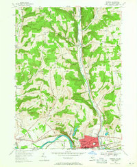 1954 Waverly1956 Print · USGSThe village of Waverly appears here as a bustling rail crossroads during the mid-fifties, situated right at the New York and Pennsylvania state line. You can trace the legacy of early settlements and rural infrastructure through Owens Mill, the Bogart Hill Sch, and the winding tracks of the Lehigh Valley railroad.2 unique versions available
 - 1954 Map of Van Etten, 1956 Print
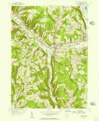 1954 Van Etten1956 Print · USGSChemung and Tioga Counties are seen here in the mid-1950s, centered on the vital rail junction at Van Etten. Genealogists and local historians can trace family-named sites like Rumsey Cem, Hicks, and landmarks along the Lehigh Valley line.
 - 1954 Map of Waverly, 1961 Print
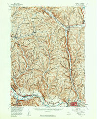 1954 Waverly1961 Print · USGSThe Southern Tier's river valleys and rail networks are caught at a mid-century peak in this survey of Tioga and Chemung counties. Genealogists can trace family names through landmarks like Austin Hill Cem, the Double Mill Sch, and the historical Newtown Battlefield State Park.2 unique versions available
 - 1956 Map of Spencer, 1958 Print
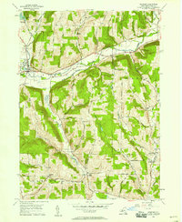 1956 Spencer1958 Print · USGSTioga County in the mid-fifties remains a landscape of high ridges and narrow creek valleys centered on the village of Spencer. Genealogists can trace rural homesteads near the Hamilton Sch and follow the old winding routes between Halsey Valley and Straits Corners Ch.
 - 1956 Map of Owego, 1960 Print
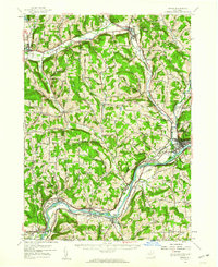 1956 Owego1960 Print · USGSTioga County in the mid-1950s is defined by its deep river valleys and the busy corridors of the Erie Railroad and Lehigh Valley Railroad. Genealogists and historians can trace the foundations of local life through rural landmarks like Hamilton Sch and the Sulphur Springs Chapel.
 - 1957 Map of Sayre, 1958 Print
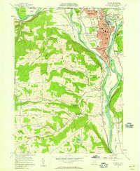 1957 Sayre1958 Print · USGSThe Susquehanna and Chemung rivers meet in this late 1950s survey of the northern Pennsylvania border. Researchers can trace the industrial footprint of the Lehigh Valley RR, locate the Milan Cem, or explore old river landings like Greenes Landing.4 unique versions available
 - 1958 Map of Elmira
 1958 Elmira1958 Print · USGSThe New York Finger Lakes during the late fifties reveal a complex landscape of glacial geology and industrial growth. Researchers can trace historic transport corridors like the Erie Canal and Erie RR, or locate institutional landmarks like Cornell University.2 unique versions available
 - 1960 Map of Williamsport
 1960 Williamsport1960 Print · USGSNorth-central Pennsylvania in the mid-twentieth century was a vital corridor of rail and river industry stretching from the New York line to the coal regions. Genealogists can trace the rail networks of the Pennsylvania RR and Lehigh Valley RR connecting towns like Williamsport, Towanda, and Lock Haven.
 - 1962 Map of Williamsport, 1966 Print
 1962 Williamsport1966 Print · USGSNorth-central Pennsylvania was a landscape of industrial river hubs and vast state woodlands in the early sixties. Researchers can trace the path of the Pennsylvania Railroad through Williamsport and explore the remote reaches of Bucktail State Park.5 unique versions available
 - 1962 Map of Elmira, 1969 Print
 1962 Elmira1969 Print · USGSThe Finger Lakes region and Southern Tier are captured here during a period of industrial maturity and highway expansion. Researchers can trace the path of the Erie Canal, the footprint of the Seneca Army Depot, and legacy rail lines through Elmira and Ithaca.4 unique versions available
 - 1965 Map of Elmira
 1965 Elmira1965 Print · USGSThe Finger Lakes and Southern Tier regions are captured in the mid-sixties, showcasing a landscape of deep glacial valleys and heavy rail infrastructure. Trace old railroad corridors like the Pennsylvania RR or visit landmarks like Letchworth State Park and the Seneca Army Depot.
 - 1965 Map of Williamsport
 1965 Williamsport1965 Print · USGSNorth-central Pennsylvania in the mid-1960s is defined by the industrial river towns and vast timberlands of the Allegheny Plateau. Researchers can trace historic rail lines like the Erie Lackawanna and Reading as they thread through Williamsport, Lock Haven, and Jersey Shore.
Showing maps 1-25 of 65
Top cities near Barton
- Owego historical maps
- Elmira historical maps
- Sayre historical maps
- Candor historical maps
- Newfield historical maps
- Tioga historical maps
See more
Top neighborhoods of Barton
- North Barton historical maps
- Glencairn historical maps
- North Waverly historical maps
- Reniff historical maps
- Lockwood historical maps
- Ellistown historical maps
See more
Frequently asked questions
- What are the different types of historical maps available for Barton?
- What is the oldest map of Barton?
- Where can I purchase historical maps of Barton for my home or office?
- Where can I download high-res historical maps of Barton?
- Are there historical topographic maps available for Barton?
- Is there historical aerial imagery available for Barton?
- Where are historical maps of Barton sourced from?