2010s Maps of Barton, New York
Explore 24 historic maps of Barton from the 2010s. These maps offer a rare glimpse into what life looked like during the 2010s — showing old roads, neighborhoods, homes, and landmarks that have changed or disappeared over time.
Whether you're researching your family's past, planning a metal detecting trip, or studying how Barton's landscape evolved across the 2010s, these high-resolution maps are a powerful tool for exploring the history of this region.
- Focus on a specific era: All maps on this page are from the 2010s, giving you a focused view of this time period.
- See what’s changed: Compare century-old streets, trails, and buildings to today's modern landscape using overlays and satellite layers.
- Research with precision: Use these maps for genealogy, historical research, land use analysis, or educational projects.
- View, download, or print: Maps are fully viewable online in high resolution, and can be downloaded or printed for your own records.
Start exploring Barton's history through authentic maps from the 2010s. This is your window into the past.
Barton, NY maps
(24)- 2010 Map of Van Etten, 2010 Print
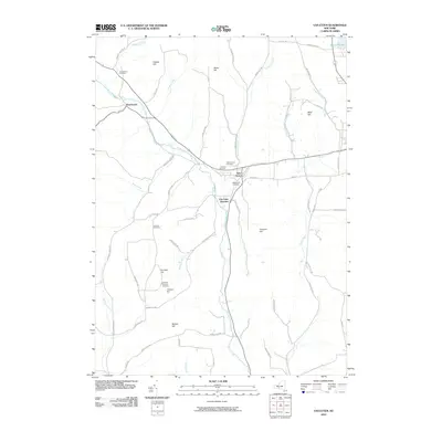 2010 Van Etten2010 Print · USGSThe southern Tier of New York is captured here in the early twenty-first century, centered on the village of Van Etten. Genealogists and local historians can trace family road names and several small burial grounds like Canfield Cemetery and Swartwood Cemetery.
 - 2010 Map of Spencer, 2010 Print
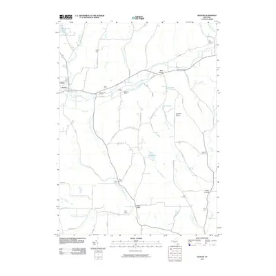 2010 Spencer2010 Print · USGSTioga County's rural landscape is meticulously detailed here in the early twenty-first century. Researchers can trace ancestral locations and local aviation history through landmarks like Evergreen Cemetery, Baptist Corners Cemetery, and the Saikkonen Airport.
 - 2010 Map of Waverly, 2010 Print
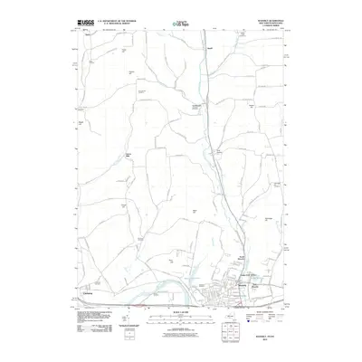 2010 Waverly2010 Print · USGSThe Tioga County borderlands are captured here at the turn of the decade, showing the transition from the Chemung River valley to the northern hills. Researchers can trace family history through several burial sites including Glenwood Cemetery and Lockwood Cemetery, or follow the Norfolk Southern rail line.
 - 2010 Map of Litchfield, 2010 Print
 2010 Litchfield2010 Print · USGSThe Pennsylvania-New York borderlands appear here in the early twenty-first century, featuring the rural uplands between the Susquehanna River and the valley communities. Researchers can trace local lineages through Orange Hill Cemetery, Bumpville, and North Ghent.
 - 2010 Map of Sayre, 2010 Print
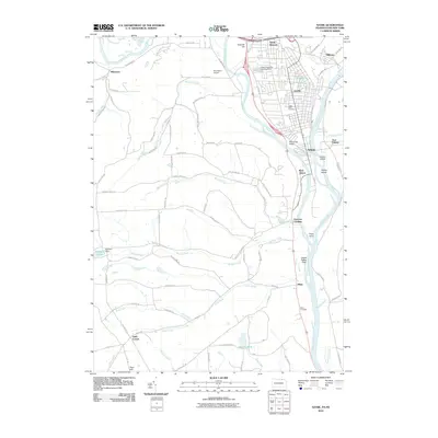 2010 Sayre2010 Print · USGSThe river valleys of the Susquehanna and Chemung are captured at the start of the 2010s, showing the settled hubs of Sayre and Athens. Researchers can trace local lineage at Tioga Point Cemetery or locate historical landmarks like Spanish Hill and Queen Esther Flats.
 - 2012 Map of Barton, 2012 Print
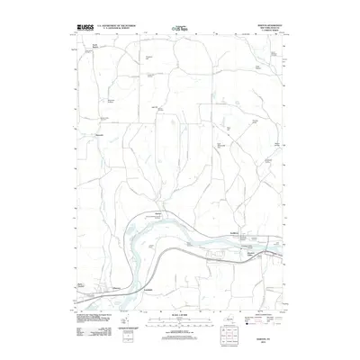 2012 Barton2012 Print · USGSBarton and the Susquehanna River valley are captured in this recent survey, showcasing a landscape of high ridges and deep hollows. Genealogists can trace numerous local burial sites like Oak Hill Cemetery and Smithboro Methodist Cemetery, or locate historic congregations at Emory Chapel.
 - 2013 Map of Barton, 2013 Print
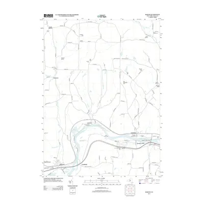 2013 Barton2013 Print · USGSTioga County's riverfront and hill country are captured here in the early twenty-first century, showing the enduring rural character of the Susquehanna valley. Researchers can locate numerous family and community landmarks, from Asbury Church Cem to the homes of Johnson Farms and the river-bound Hoopers Valley Island.
 - 2013 Map of Van Etten, 2013 Print
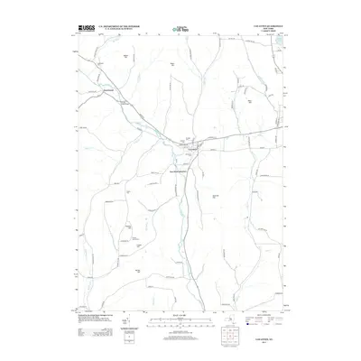 2013 Van Etten2013 Print · USGSThe village of Van Etten and the rural hills of Tioga County are captured here in the early twenty-first century. Genealogists can locate several family burial sites including Rumsey Getman Cemetery and Jenkins Cemetery.
 - 2013 Map of Spencer, 2013 Print
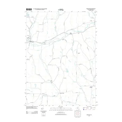 2013 Spencer2013 Print · USGSSouthern Tioga County appears as a network of deep-cut hollows and upland farms in this 2013 survey. Researchers can locate many local burial sites and landmarks like Evergreen Cem, Spencer Lake, and the rural crossroads of Halsey Valley.
 - 2013 Map of Waverly, 2013 Print
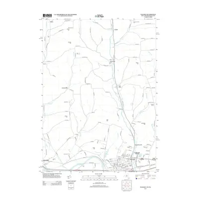 2013 Waverly2013 Print · USGSWaverly and the Chemung River valley are shown here in the early twenty-first century, highlighting a landscape of river-bottom towns and ridge-top farms. Researchers can find numerous local landmarks and family burial sites, from Waverly Stadium to the remote Price Simcoe Cem and Hicks Cem.
 - 2013 Map of Litchfield, 2013 Print
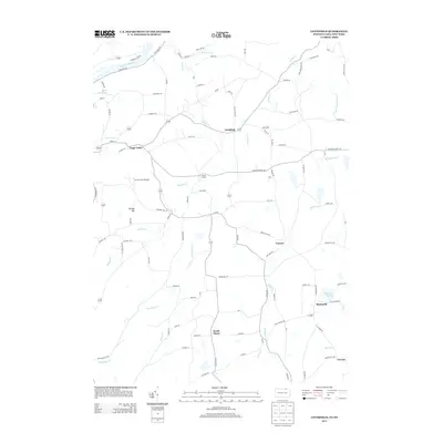 2013 Litchfield2013 Print · USGSThe rural borderlands of Tioga County are captured here in the early twenty-first century as they span the New York and Pennsylvania line. Researchers can trace local landmarks like Bumpville, Orange Hill, and the Sayre Reservoir.
 - 2013 Map of Sayre, 2013 Print
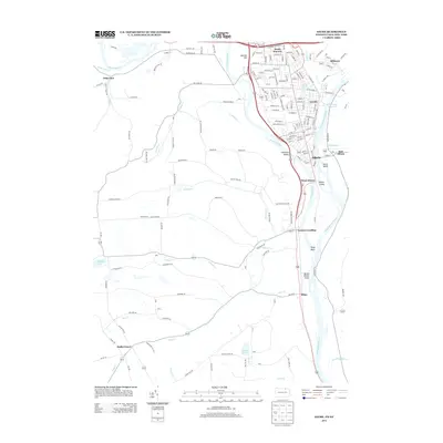 2013 Sayre2013 Print · USGSThe Pennsylvania and New York border communities thrive along the river forks in the early twenty-first century. Researchers can trace the dense neighborhoods of Sayre and Athens or find outlying points like Huffs Corner and the broad Queen Esther Flats.
 - 2016 Map of Litchfield, 2016 Print
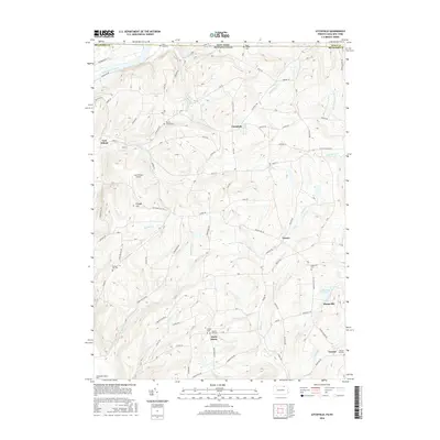 2016 Litchfield2016 Print · USGSThe Pennsylvania and New York border comes alive in this study of the rural highlands east of the Susquehanna River. Researchers can trace old family homesteads and burial grounds such as Trinket Cem, Bumpville Cem, and the Lars/Private Airport.
 - 2016 Map of Sayre, 2016 Print
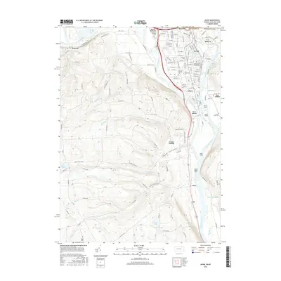 2016 Sayre2016 Print · USGSSpanning the New York and Pennsylvania border in the twenty-first century, this area centers on the vital confluence of the Chemung River and Susquehanna River. Genealogists and historians can trace centuries of settlement through sites like Tioga Point, the Old Athens Cem, and the rail infrastructure of SAYRE.
 - 2016 Map of Spencer, 2016 Print
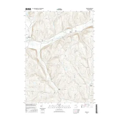 2016 Spencer2016 Print · USGSTioga County's southern tier reveals a rugged landscape of upland ridges and creek-carved valleys during the mid-2010s. Genealogists and local historians can trace legacy sites like Baptist Corners Cem, Straits Corners, and Halsey Valley Cem.
 - 2016 Map of Van Etten, 2016 Print
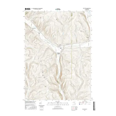 2016 Van Etten2016 Print · USGSThe hills of Tioga and Chemung Counties are meticulously charted in the mid-2010s, showing the rural landscape around Van Etten and Swartwood. Researchers can trace local lineage through numerous family-named landmarks like Rumsey Hill and quiet burial sites including Mount Hope Cem and Canfield Cem.
 - 2016 Map of Barton, 2016 Print
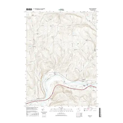 2016 Barton2016 Print · USGSThe Susquehanna River valley in Tioga County serves as the heart of this mid-2010s survey, showing the historic river-town footprints of Barton and Smithboro. Researchers can trace local heritage through numerous rural landmarks like Emory Chapel, Asbury Church Cem, and the high point of Prospect Hill.
 - 2016 Map of Waverly, 2016 Print
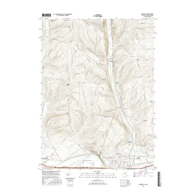 2016 Waverly2016 Print · USGSThe Southern Tier of New York meets the Pennsylvania border in this recent survey of the Chemung River and Cayuta Creek valleys. Researchers can locate numerous local burial grounds and family landmarks, from Waverly Cemetery and Glenwood Cemetery to the rural Drybrook Cemetery and Hicks.
 - 2019 Map of Litchfield, 2019 Print
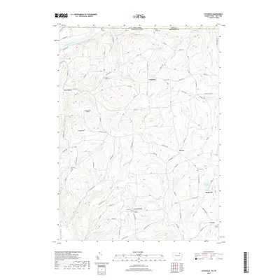 2019 Litchfield2019 Print · USGSThe borderlands of Tioga and Bradford counties come into focus in this contemporary survey of the hills above the Susquehanna River. Researchers can locate numerous family burial grounds including Rossi Family and Trinket Old cemeteries near North Ghent.
 - 2019 Map of Sayre, 2019 Print
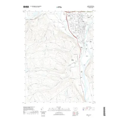 2019 Sayre2019 Print · USGSThe confluence of the Susquehanna and Chemung rivers dominates this modern survey of the New York-Pennsylvania border. Genealogists can trace family names through numerous burial sites like Tioga Point Cem and the Wilawana Cem, or explore the historic Queen Esther Flats.
 - 2019 Map of Spencer, 2019 Print
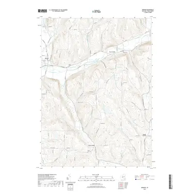 2019 Spencer2019 Print · USGSTioga County's southern tier remains a landscape of high ridges and deep valley settlements in the late twenty-first century. Genealogists can locate several historic burial grounds, including the Baptist Society Cem and Pipe Creek Cem, alongside the village of Spencer.
 - 2019 Map of Van Etten, 2019 Print
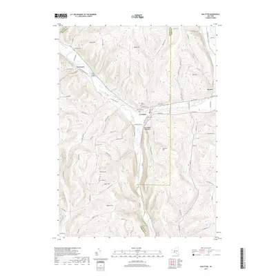 2019 Van Etten2019 Print · USGSThe Southern Tier hill country comes into focus in this recent survey of the New York borderlands. Researchers can trace family history through numerous burial sites like Mount Hope Cem and the small settlements of Van Etten and Swartwood.
 - 2019 Map of Barton, 2019 Print
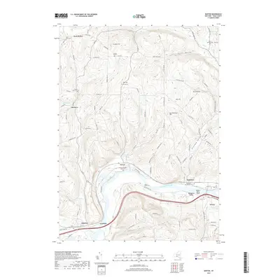 2019 Barton2019 Print · USGSThe riverfront and uplands of Tioga County come into focus in this late twenty-teens survey of the Susquehanna valley. Genealogists and historians can trace lineage through numerous rural burial grounds including North Barton Cem, Oak Hill Cem, and Smithboro Methodist Cem.
 - 2019 Map of Waverly, 2019 Print
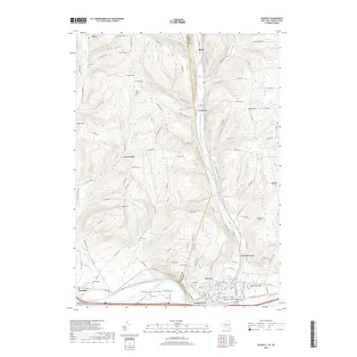 2019 Waverly2019 Print · USGSThe borderlands of New York and Pennsylvania come into focus in this recent study of the Chemung River valley. Genealogists can trace decades of local history through numerous burial sites like Price-Simcoe Cem, French Cem, and the Factoryville Cem.
End of results
Showing maps 1-24 of 24
Top cities near Barton
- Owego historical maps
- Elmira historical maps
- Sayre historical maps
- Candor historical maps
- Newfield historical maps
- Tioga historical maps
See more
Top neighborhoods of Barton
- North Barton historical maps
- Glencairn historical maps
- North Waverly historical maps
- Reniff historical maps
- Lockwood historical maps
- Ellistown historical maps
See more
Frequently asked questions
- What are the different types of historical maps available for Barton?
- What is the oldest map of Barton?
- Where can I purchase historical maps of Barton for my home or office?
- Where can I download high-res historical maps of Barton?
- Are there historical topographic maps available for Barton?
- Is there historical aerial imagery available for Barton?
- Where are historical maps of Barton sourced from?