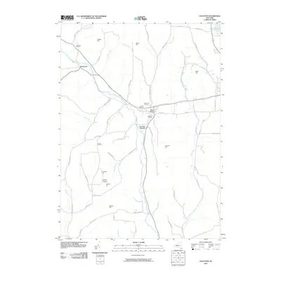
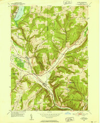
2010 Map of Van Etten
USGS Topo · Published 2010About this map
Van Etten and the nearby hamlet of Swartwood anchor this southern Tier landscape, where the valley of Cayuta Creek carves through a series of prominent rises including Nobles Hill and Rumsey Hill. This 2010 topographic record provides a modern inventory of the region's rural infrastructure, highlighting the transition at Van Etten Junction and the network of roads named for early families, such as Hathaway Hill Rd and Shoemaker Rd.
Find a feature on this map
62 named features on this map. Tap any name to fly to it.
Don’t see what you’re looking for? This feature index may not catch every label — zoom into the map to look around manually.
Map Details
Editions of this 2010 Van Etten Map
This is the sole edition of this map. No revisions or reprints were ever made.
Other maps of this area
1893 · Ithaca
USGS Topo · 1:62,500
1895 · Ithaca
USGS Topo · 1:62,500
1900 · Dryden
USGS Topo · 1:62,500
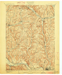
1902 · Waverly
USGS Topo · 1:62,500
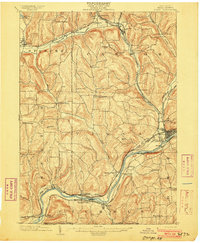
1903 · Owego
USGS Topo · 1:62,500

1905 · Watkins Glen
USGS Topo · 1:125,000
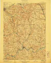
1906 · Catatonk
USGS Topo · 1:125,000
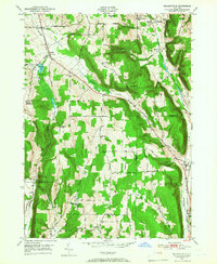
1949 · Willseyville
USGS Topo · 1:24,000

1950 · Elmira
USGS Topo · 1:250,000
1950 · Alpine
USGS Topo · 1:24,000