2000s (21st Century) Maps of Olive, New York
Explore 30 historic maps of Olive from the 2000s (21st Century). These maps offer a rare glimpse into what life looked like during the 2000s — showing old roads, neighborhoods, homes, and landmarks that have changed or disappeared over time.
Whether you're researching your family's past, planning a metal detecting trip, or studying how Olive's landscape evolved across the 2000s, these high-resolution maps are a powerful tool for exploring the history of this region.
- Focus on a specific era: All maps on this page are from the 2000s, giving you a focused view of this time period.
- See what’s changed: Compare century-old streets, trails, and buildings to today's modern landscape using overlays and satellite layers.
- Research with precision: Use these maps for genealogy, historical research, land use analysis, or educational projects.
- View, download, or print: Maps are fully viewable online in high resolution, and can be downloaded or printed for your own records.
Start exploring Olive's history through authentic maps from the 2000s. This is your window into the past.
Olive, NY maps
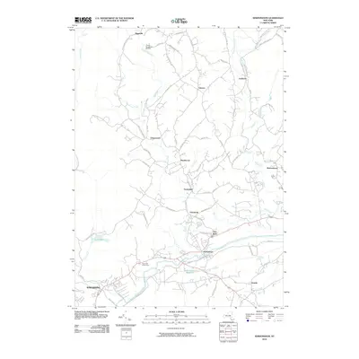
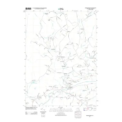
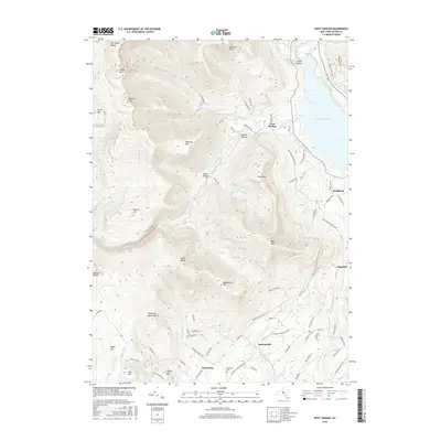
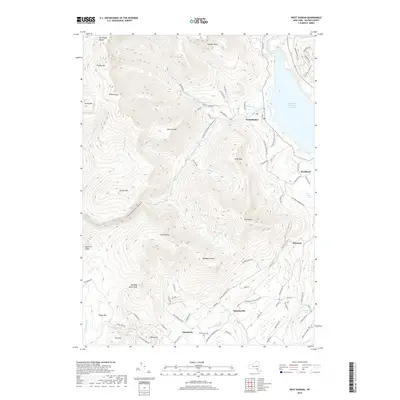
(30)- 2010 Map of West Shokan, 2010 Print
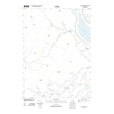 2010 West Shokan2010 Print · USGSCovers Olive, including Rochester, Shandaken, and other nearby areas
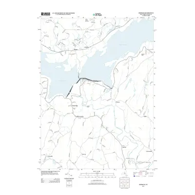
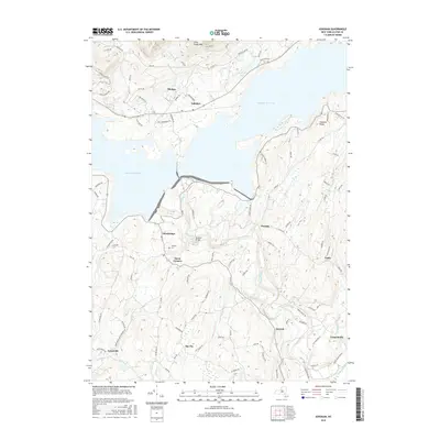
 - 2010 Map of Ashokan, 2010 Print
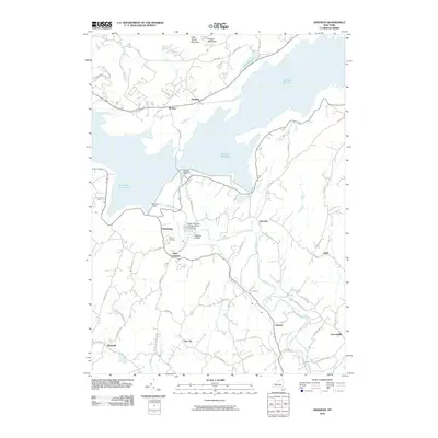 2010 Ashokan2010 Print · USGSCovers Olive, including Hurley, Marbletown, and other nearby areas
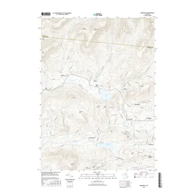
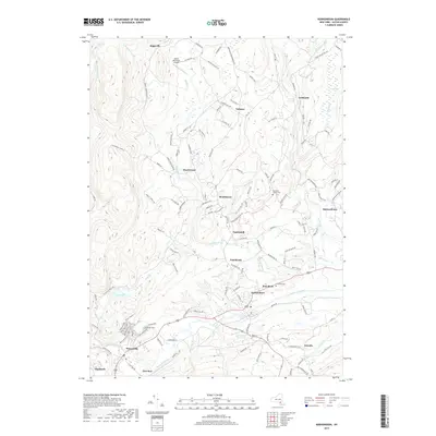
 - 2010 Map of Bearsville, 2010 Print
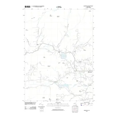 2010 Bearsville2010 Print · USGSCovers Olive, including Woodstock, Hurley, and other nearby areas
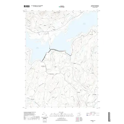
 - 2010 Map of Mohonk Lake, 2010 Print
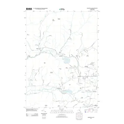
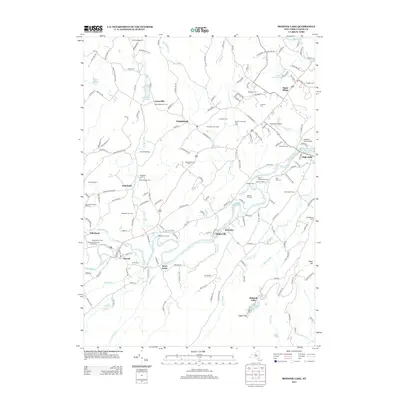
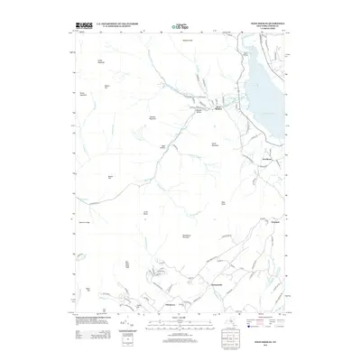
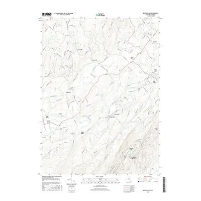
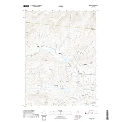
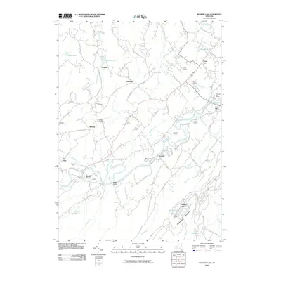 2010 Mohonk Lake2010 Print · USGSCovers Olive, including New Paltz, Rochester, and other nearby areas
 - 2010 Map of Kerhonkson, 2010 Print
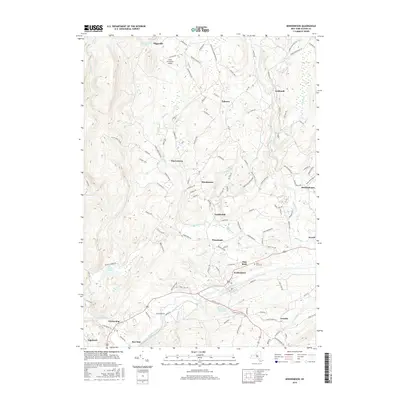
 2010 Kerhonkson2010 Print · USGSCovers Olive, including Wawarsing, Rochester, and other nearby areas
 - 2010 Map of Phoenicia, 2010 Print
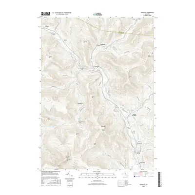
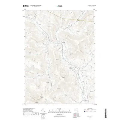
 2010 Phoenicia2010 Print · USGSCovers Olive, including Woodstock, Hunter, and other nearby areas
 - 2013 Map of Phoenicia, 2013 Print
 2013 Phoenicia2013 Print · USGSCovers Olive, including Woodstock, Hunter, and other nearby areas
 - 2013 Map of Bearsville, 2013 Print
 2013 Bearsville2013 Print · USGSCovers Olive, including Woodstock, Hurley, and other nearby areas
 - 2013 Map of Kerhonkson, 2013 Print
 2013 Kerhonkson2013 Print · USGSCovers Olive, including Wawarsing, Rochester, and other nearby areas
 - 2013 Map of Mohonk Lake, 2013 Print
 2013 Mohonk Lake2013 Print · USGSCovers Olive, including New Paltz, Rochester, and other nearby areas
 - 2013 Map of Ashokan, 2013 Print
 2013 Ashokan2013 Print · USGSCovers Olive, including Hurley, Marbletown, and other nearby areas
 - 2013 Map of West Shokan, 2013 Print
 2013 West Shokan2013 Print · USGSCovers Olive, including Rochester, Shandaken, and other nearby areas
 - 2016 Map of Phoenicia, 2016 Print
 2016 Phoenicia2016 Print · USGSCovers Olive, including Woodstock, Hunter, and other nearby areas
 - 2016 Map of Bearsville, 2016 Print
 2016 Bearsville2016 Print · USGSCovers Olive, including Woodstock, Hurley, and other nearby areas
 - 2016 Map of Mohonk Lake, 2016 Print
 2016 Mohonk Lake2016 Print · USGSCovers Olive, including New Paltz, Rochester, and other nearby areas
 - 2016 Map of Kerhonkson, 2016 Print
 2016 Kerhonkson2016 Print · USGSCovers Olive, including Wawarsing, Rochester, and other nearby areas
 - 2016 Map of West Shokan, 2016 Print
 2016 West Shokan2016 Print · USGSCovers Olive, including Rochester, Shandaken, and other nearby areas
 - 2016 Map of Ashokan, 2016 Print
 2016 Ashokan2016 Print · USGSCovers Olive, including Hurley, Marbletown, and other nearby areas
 - 2019 Map of Kerhonkson, 2019 Print
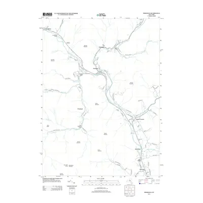
 2019 Kerhonkson2019 Print · USGSCovers Olive, including Wawarsing, Rochester, and other nearby areas
 - 2019 Map of Ashokan, 2019 Print
 2019 Ashokan2019 Print · USGSCovers Olive, including Hurley, Marbletown, and other nearby areas
 - 2019 Map of West Shokan, 2019 Print
 2019 West Shokan2019 Print · USGSCovers Olive, including Rochester, Shandaken, and other nearby areas
 - 2019 Map of Mohonk Lake, 2019 Print
 2019 Mohonk Lake2019 Print · USGSCovers Olive, including New Paltz, Rochester, and other nearby areas
 - 2019 Map of Phoenicia, 2019 Print
 2019 Phoenicia2019 Print · USGSCovers Olive, including Woodstock, Hunter, and other nearby areas
 - 2019 Map of Bearsville, 2019 Print
 2019 Bearsville2019 Print · USGSCovers Olive, including Woodstock, Hurley, and other nearby areas
 - 2023 Map of Kerhonkson, 2023 Print
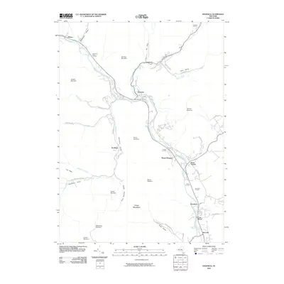
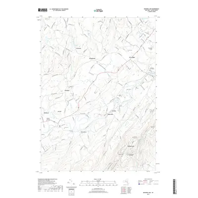
 2023 Kerhonkson2023 Print · USGSKerhonkson and the Rondout Creek valley are captured here in the early twenty-first century, showing a landscape of dispersed hamlets and mountain waterways. Researchers can locate family landmarks at Rochester Center Cem or trace the path of the Delaware Aqueduct past Pataukunk.
Showing maps 1-25 of 30
Top cities near Olive
- Kingston historical maps
- Saugerties historical maps
- New Paltz historical maps
- Wawarsing historical maps
- Ulster historical maps
- Catskill historical maps
See more
Top neighborhoods of Olive
- Krumville historical maps
- Olivebridge historical maps
- West Shokan historical maps
- Boiceville historical maps
- Davis Corners historical maps
- Samsonville historical maps
See more
Frequently asked questions
- What are the different types of historical maps available for Olive?
- What is the oldest map of Olive?
- Where can I purchase historical maps of Olive for my home or office?
- Where can I download high-res historical maps of Olive?
- Are there historical topographic maps available for Olive?
- Is there historical aerial imagery available for Olive?
- Where are historical maps of Olive sourced from?