1900s (20th Century) Maps of Westchester County, New York
Explore 83 historic maps of Westchester County from the 1900s (20th Century). These maps offer a rare glimpse into what life looked like during the 1900s — showing old roads, neighborhoods, homes, and landmarks that have changed or disappeared over time.
Whether you're researching your family's past, planning a metal detecting trip, or studying how Westchester County's landscape evolved across the 1900s, these high-resolution maps are a powerful tool for exploring the history of this region.
- Focus on a specific era: All maps on this page are from the 1900s, giving you a focused view of this time period.
- See what’s changed: Compare century-old streets, trails, and buildings to today's modern landscape using overlays and satellite layers.
- Research with precision: Use these maps for genealogy, historical research, land use analysis, or educational projects.
- View, download, or print: Maps are fully viewable online in high resolution, and can be downloaded or printed for your own records.
Start exploring Westchester County's history through authentic maps from the 1900s. This is your window into the past.
Westchester County, NY maps
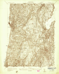
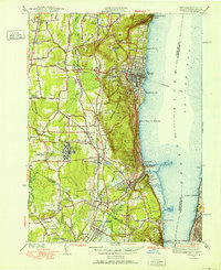
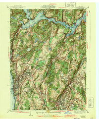
(83)- 1900 Map of Harlem
 1900 Harlem1900 Print · USGSCovers Westchester County, including New York, North Hempstead, and other nearby areas16 unique versions available
 - 1900 Map of Oyster Bay
 1900 Oyster Bay1900 Print · USGSCovers Westchester County, including New York, Hempstead, and other nearby areas15 unique versions available
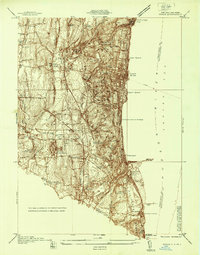
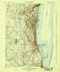
 - 1901 Map of West Point
 1901 West Point1901 Print · USGSCovers Westchester County, including Cortlandt, Yorktown, and other nearby areas12 unique versions available
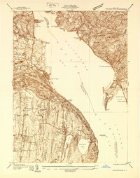
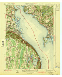
 - 1902 Map of Tarrytown
 1902 Tarrytown1902 Print · USGSCovers Westchester County, including Greenburgh, Clarkstown, and other nearby areas11 unique versions available
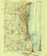
 - 1928 Map of Carmel
 1928 Carmel1928 Print · USGSCovers Westchester County, including Danbury, Carmel, and other nearby areas5 unique versions available
 - 1932 Map of White Plains
 1932 White Plains1932 Print · USGSCovers Westchester County, including Greenburgh, White Plains, and other nearby areas
 - 1936 Map of West Point
 1936 West Point1936 Print · USGSCovers Westchester County, including Cortlandt, Yorktown, and other nearby areas2 unique versions available
 - 1936 Map of Ossining
 1936 Ossining1936 Print · USGSCovers Westchester County, including Mount Pleasant, Cortlandt, and other nearby areas
 - 1937 Map of Nyack
 1937 Nyack1937 Print · USGSCovers Westchester County, including Greenburgh, Clarkstown, and other nearby areas
 - 1937 Map of Tarrytown
 1937 Tarrytown1937 Print · USGSCovers Westchester County, including Greenburgh, Clarkstown, and other nearby areas
 - 1938 Map of Haverstraw
 1938 Haverstraw1938 Print · USGSCovers Westchester County, including Clarkstown, Mount Pleasant, and other nearby areas
 - 1938 Map of White Plains
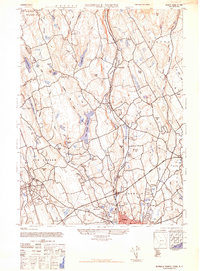
 1938 White Plains1938 Print · USGSCovers Westchester County, including Greenburgh, White Plains, and other nearby areas3 unique versions available
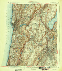
 - 1940 Map of Nyack, 1952 Print
 1940 Nyack1952 Print · USGSCovers Westchester County, including Greenburgh, Clarkstown, and other nearby areas
 - 1941 Map of West Point
 1941 West Point1941 Print · USGSCovers Westchester County, including Cortlandt, Yorktown, and other nearby areas3 unique versions available
 - 1942 Map of Nyack
 1942 Nyack1942 Print · USGSCovers Westchester County, including Greenburgh, Clarkstown, and other nearby areas
 - 1943 Map of Haverstraw
 1943 Haverstraw1943 Print · USGSCovers Westchester County, including Clarkstown, Mount Pleasant, and other nearby areas2 unique versions available
 - 1943 Map of Nyack
 1943 Nyack1943 Print · USGSCovers Westchester County, including Greenburgh, Clarkstown, and other nearby areas2 unique versions available
 - 1943 Map of Ossining
 1943 Ossining1943 Print · USGSCovers Westchester County, including Mount Pleasant, Cortlandt, and other nearby areas4 unique versions available
 - 1943 Map of Norwalk North, 1947 Print
 1943 Norwalk North1947 Print · USGSCovers Westchester County, including Norwalk, Westport, and other nearby areas2 unique versions available
 - 1944 Map of Croton Falls
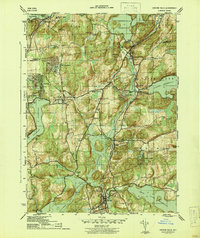 1944 Croton Falls1944 Print · USGSCovers Westchester County, including Carmel, Somers, and other nearby areas2 unique versions available
 - 1944 Map of Glenville, 1947 Print
 1944 Glenville1947 Print · USGSCovers Westchester County, including Greenwich, White Plains, and other nearby areas
 - 1945 Map of Peach Lake
 1945 Peach Lake1945 Print · USGSCovers Westchester County, including Danbury, Ridgebury, and other nearby areas3 unique versions available
 - 1946 Map of Peach Lake
 1946 Peach Lake1946 Print · USGSCovers Westchester County, including Danbury, Ridgebury, and other nearby areas2 unique versions available
 - 1947 Map of Mamaroneck
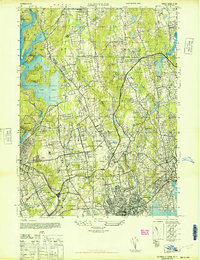
 1947 Mamaroneck1947 Print · USGSCovers Westchester County, including North Hempstead, New Rochelle, and other nearby areas
 - 1947 Map of West Point
 1947 West Point1947 Print · USGSCovers Westchester County, including Cortlandt, Yorktown, and other nearby areas
Showing maps 1-25 of 83
Top cities of Westchester County
- Yonkers historical maps
- Greenburgh historical maps
- New Rochelle historical maps
- Mount Vernon historical maps
- White Plains historical maps
- Rye historical maps
See more
Frequently asked questions
- What are the different types of historical maps available for Westchester County?
- What is the oldest map of Westchester County?
- Where can I purchase historical maps of Westchester County for my home or office?
- Where can I download high-res historical maps of Westchester County?
- Are there historical topographic maps available for Westchester County?
- Is there historical aerial imagery available for Westchester County?
- Where are historical maps of Westchester County sourced from?