2000s (21st Century) Maps of Westchester County, New York
Explore 90 historic maps of Westchester County from the 2000s (21st Century). These maps offer a rare glimpse into what life looked like during the 2000s — showing old roads, neighborhoods, homes, and landmarks that have changed or disappeared over time.
Whether you're researching your family's past, planning a metal detecting trip, or studying how Westchester County's landscape evolved across the 2000s, these high-resolution maps are a powerful tool for exploring the history of this region.
- Focus on a specific era: All maps on this page are from the 2000s, giving you a focused view of this time period.
- See what’s changed: Compare century-old streets, trails, and buildings to today's modern landscape using overlays and satellite layers.
- Research with precision: Use these maps for genealogy, historical research, land use analysis, or educational projects.
- View, download, or print: Maps are fully viewable online in high resolution, and can be downloaded or printed for your own records.
Start exploring Westchester County's history through authentic maps from the 2000s. This is your window into the past.
Westchester County, NY maps
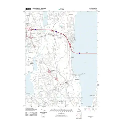
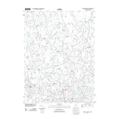
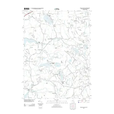
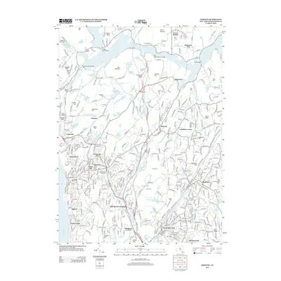
(90)- 2010 Map of Peach Lake, 2010 Print
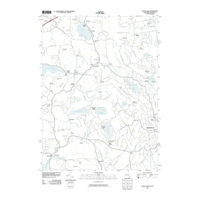 2010 Peach Lake2010 Print · USGSCovers Westchester County, including Danbury, Ridgebury, and other nearby areas
 - 2010 Map of Mohegan Lake, 2010 Print
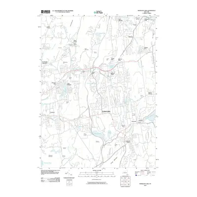 2010 Mohegan Lake2010 Print · USGSCovers Westchester County, including Cortlandt, Yorktown, and other nearby areas
 - 2010 Map of Croton Falls, 2010 Print
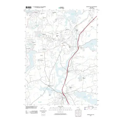 2010 Croton Falls2010 Print · USGSCovers Westchester County, including Carmel, Somers, and other nearby areas
 - 2010 Map of Flushing, 2010 Print
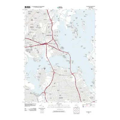 2010 Flushing2010 Print · USGSCovers Westchester County, including New York, North Hempstead, and other nearby areas
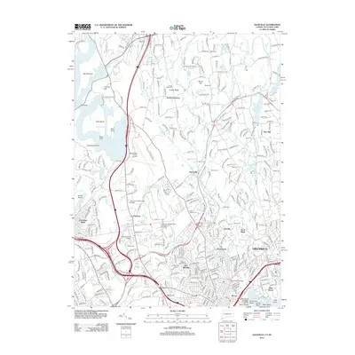
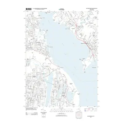
 - 2010 Map of Haverstraw, 2010 Print
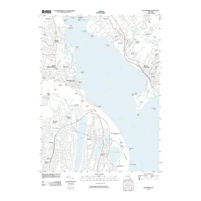 2010 Haverstraw2010 Print · USGSCovers Westchester County, including Clarkstown, Mount Pleasant, and other nearby areas
 - 2010 Map of Mount Kisco, 2010 Print
 2010 Mount Kisco2010 Print · USGSCovers Westchester County, including Stamford, Greenwich, and other nearby areas
 - 2010 Map of Norwalk North, 2010 Print
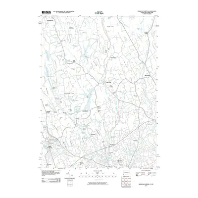 2010 Norwalk North2010 Print · USGSCovers Westchester County, including Norwalk, Westport, and other nearby areas
 - 2010 Map of White Plains, 2010 Print
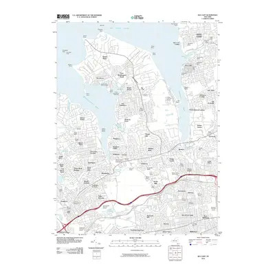
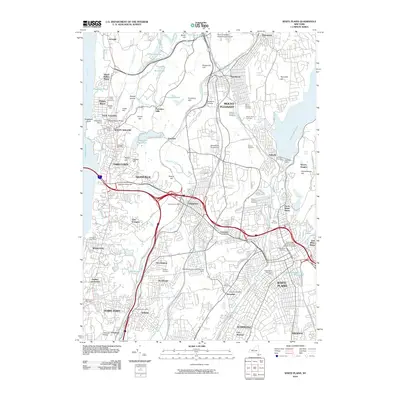 2010 White Plains2010 Print · USGSCovers Westchester County, including Greenburgh, White Plains, and other nearby areas
 - 2010 Map of Sea Cliff, 2010 Print
 2010 Sea Cliff2010 Print · USGSCovers Westchester County, including New York, Oyster Bay, and other nearby areas
 - 2010 Map of Peekskill, 2010 Print
 2010 Peekskill2010 Print · USGSCovers Westchester County, including Cortlandt, Peekskill, and other nearby areas
 - 2010 Map of Mount Vernon, 2010 Print
 2010 Mount Vernon2010 Print · USGSCovers Westchester County, including New York, Yonkers, and other nearby areas
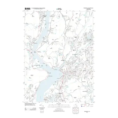
 - 2010 Map of Ossining, 2010 Print
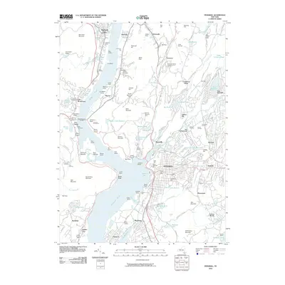
 2010 Ossining2010 Print · USGSCovers Westchester County, including Mount Pleasant, Cortlandt, and other nearby areas
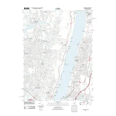
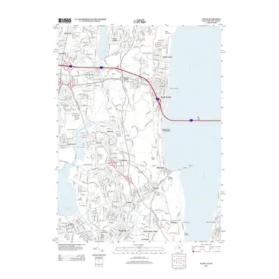
 - 2011 Map of Nyack, 2011 Print
 2011 Nyack2011 Print · USGSCovers Westchester County, including Greenburgh, Clarkstown, and other nearby areas
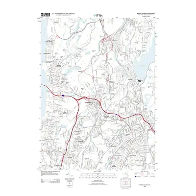
 - 2011 Map of Yonkers, 2011 Print
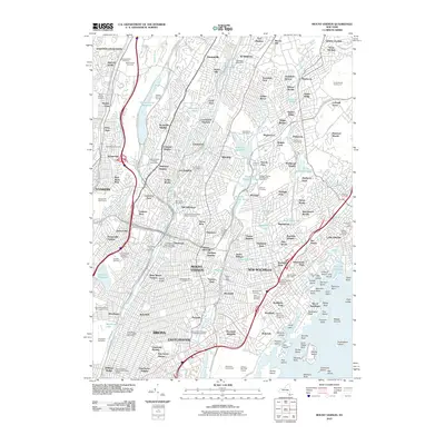
 2011 Yonkers2011 Print · USGSCovers Westchester County, including New York, Yonkers, and other nearby areas
 - 2011 Map of Mamaroneck, 2011 Print
 2011 Mamaroneck2011 Print · USGSCovers Westchester County, including North Hempstead, New Rochelle, and other nearby areas
 - 2011 Map of Bayville, 2011 Print
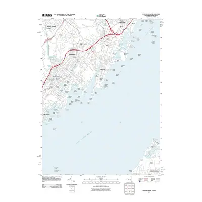
 2011 Bayville2011 Print · USGSCovers Westchester County, including Oyster Bay, Stamford, and other nearby areas
 - 2012 Map of Norwalk North, 2012 Print
 2012 Norwalk North2012 Print · USGSCovers Westchester County, including Norwalk, Westport, and other nearby areas
 - 2012 Map of Glenville, 2012 Print
 2012 Glenville2012 Print · USGSCovers Westchester County, including Greenwich, White Plains, and other nearby areas
 - 2013 Map of Nyack, 2013 Print
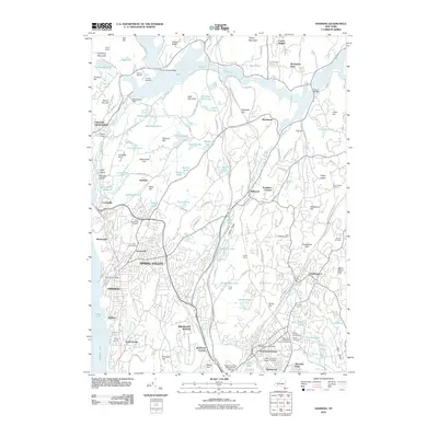
 2013 Nyack2013 Print · USGSCovers Westchester County, including Greenburgh, Clarkstown, and other nearby areas
 - 2013 Map of White Plains, 2013 Print
 2013 White Plains2013 Print · USGSCovers Westchester County, including Greenburgh, White Plains, and other nearby areas
 - 2013 Map of Haverstraw, 2013 Print
 2013 Haverstraw2013 Print · USGSCovers Westchester County, including Clarkstown, Mount Pleasant, and other nearby areas
 - 2013 Map of Peekskill, 2013 Print
 2013 Peekskill2013 Print · USGSCovers Westchester County, including Cortlandt, Peekskill, and other nearby areas
 - 2013 Map of Peach Lake, 2013 Print
 2013 Peach Lake2013 Print · USGSCovers Westchester County, including Danbury, Ridgebury, and other nearby areas
 - 2013 Map of Pound Ridge, 2013 Print
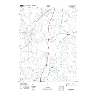
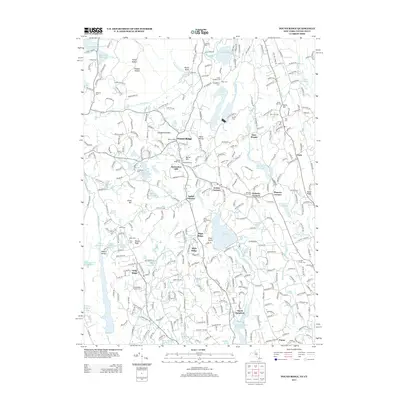 2013 Pound Ridge2013 Print · USGSCovers Westchester County, including Stamford, Greenwich, and other nearby areas
 - 2013 Map of Ossining, 2013 Print
 2013 Ossining2013 Print · USGSCovers Westchester County, including Mount Pleasant, Cortlandt, and other nearby areas
Showing maps 1-25 of 90
Top cities of Westchester County
- Yonkers historical maps
- Greenburgh historical maps
- New Rochelle historical maps
- Mount Vernon historical maps
- White Plains historical maps
- Rye historical maps
See more
Frequently asked questions
- What are the different types of historical maps available for Westchester County?
- What is the oldest map of Westchester County?
- Where can I purchase historical maps of Westchester County for my home or office?
- Where can I download high-res historical maps of Westchester County?
- Are there historical topographic maps available for Westchester County?
- Is there historical aerial imagery available for Westchester County?
- Where are historical maps of Westchester County sourced from?