2020s Maps of Westchester County, New York
Explore 20 historic maps of Westchester County from the 2020s. These maps offer a rare glimpse into what life looked like during the 2020s — showing old roads, neighborhoods, homes, and landmarks that have changed or disappeared over time.
Whether you're researching your family's past, planning a metal detecting trip, or studying how Westchester County's landscape evolved across the 2020s, these high-resolution maps are a powerful tool for exploring the history of this region.
- Focus on a specific era: All maps on this page are from the 2020s, giving you a focused view of this time period.
- See what’s changed: Compare century-old streets, trails, and buildings to today's modern landscape using overlays and satellite layers.
- Research with precision: Use these maps for genealogy, historical research, land use analysis, or educational projects.
- View, download, or print: Maps are fully viewable online in high resolution, and can be downloaded or printed for your own records.
Start exploring Westchester County's history through authentic maps from the 2020s. This is your window into the past.
Westchester County, NY maps
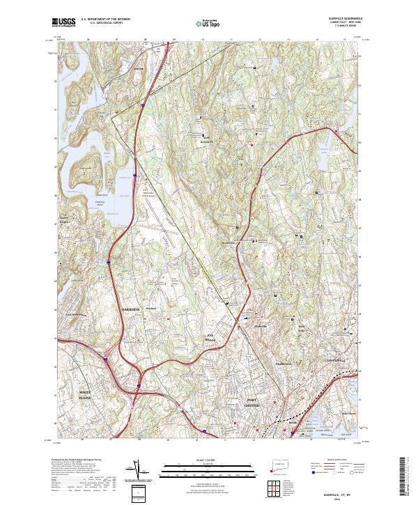
(20)- 2021 Map of Glenville, 2021 Print
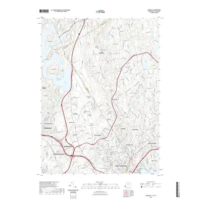 2021 Glenville2021 Print · USGSCovers Westchester County, including Greenwich, White Plains, and other nearby areas
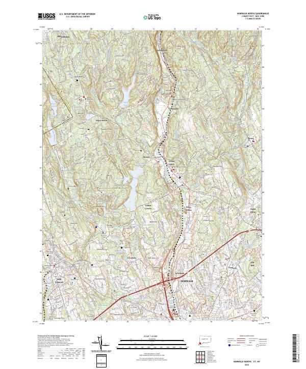
 - 2021 Map of Norwalk North, 2021 Print
 2021 Norwalk North2021 Print · USGSCovers Westchester County, including Norwalk, Westport, and other nearby areas
 - 2023 Map of Ossining, 2023 Print
 2023 Ossining2023 Print · USGSWestchester County is shown here in the 2020s, revealing a dense landscape of suburban growth shaped by its massive water infrastructure. Researchers can trace family sites at Dale Cem or Fair Ridge Cem, while following the historic paths of the New Croton Aqueduct and Saw Mill River Pkwy.
 - 2023 Map of Mount Kisco, 2023 Print
 2023 Mount Kisco2023 Print · USGSWestchester County's complex landscape of rail corridors and reservoirs is captured here as it appeared in the early 2020s. Researchers can locate family landmarks at Oakwood Cem, Union Cem, and the Old Quaker Burial Ground.
 - 2023 Map of Pound Ridge, 2023 Print
 2023 Pound Ridge2023 Print · USGSThe Westchester and Connecticut borderlands are documented here during a period of modern preservation and suburban maturity. Genealogists can locate numerous family burial sites, from Burial Hill to the Potters Field of Stamford Cem, while tracing the wooded depths of Mianus Gorge.
 - 2023 Map of Haverstraw, 2023 Print
 2023 Haverstraw2023 Print · USGSThe Hudson River waterfront at Haverstraw Bay is captured here during its modern development, showing the complex interplay between tidal flats and steep river bluffs. Researchers can trace local genealogy and land use through Mount Repose Cem, the Rockland County Courthouse, and landmarks like Treason Hill.
 - 2023 Map of Peach Lake, 2023 Print
 2023 Peach Lake2023 Print · USGSThe Westchester and Putnam County borderlands meet Connecticut in this recent survey of the North Salem area. Genealogists can locate family sites at the Peach Pond Friends Cem or trace the early paths of Old Post Rd near Waccabuc.
 - 2023 Map of Croton Falls, 2023 Print
 2023 Croton Falls2023 Print · USGSThe Westchester and Putnam county line near the reservoirs is shown here in modern detail. Researchers can trace family history at Saint Josephs Cem or locate the historic Mount Zion church and landmarks like Watermelon Hill.
 - 2023 Map of Nyack, 2023 Print
 2023 Nyack2023 Print · USGSThe Lower Hudson Valley and the New York-New Jersey borderlands come to life in this contemporary survey. Researchers can trace historic cemeteries like Oak Hill Cem and Mount Moor Cem or locate campuses such as Dominican College and Saint Thomas Aquinas College.
 - 2023 Map of White Plains, 2023 Print
 2023 White Plains2023 Print · USGSCentral Westchester County thrives in this modern survey, showing the interconnectedness of White Plains and its neighboring villages. Researchers can trace ancestral sites at Kensico Cem or locate the historic Westchester County Courthouse.
 - 2023 Map of Peekskill, 2023 Print
 2023 Peekskill2023 Print · USGSThe Hudson Highlands and Peekskill riverfront are shown in fine detail during the early twenty-first century. Genealogists and historians can trace family plots at Hillside Cem and Lent Cem or locate the historic Catskill Aqueduct and Manitou Station.
 - 2023 Map of Mohegan Lake, 2023 Print
 2023 Mohegan Lake2023 Print · USGSWestchester and Putnam counties appear in the 2020s as a landscape of interconnected hamlets and protected water systems. Genealogists can trace family plots at Rose Hills or the Ballard-Barrett Cem, while hikers can locate the summits of Turkey Mountain and French Hill.
 - 2023 Map of Flushing, 2023 Print
 2023 Flushing2023 Print · USGSQueens and the Bronx shoreline are captured in this contemporary look at their dense neighborhoods and complex waterways. Trace local history through landmarks like Hart Island, Old Ferry Point, and the Potters Field Burial Ground.
 - 2023 Map of Mount Vernon, 2023 Print
 2023 Mount Vernon2023 Print · USGSMount Vernon and southern Westchester County appear here in the early twenty-first century as a mature landscape of rail-linked suburbs and historic shoreline. Researchers can locate the Baker-Quaker Burial Grounds, Saint Paul's Church National Historic Site, and numerous islands like Davids Island.
 - 2023 Map of Sea Cliff, 2023 Print
 2023 Sea Cliff2023 Print · USGSThe Gold Coast of Nassau County is captured here in the early twenty-first century, showing the dense network of villages along Manhasset Bay. Researchers can locate historic burial sites like Nassau Knolls Cem and Roslyn Cem or trace the shoreline from Sands Point to Kings Point.
 - 2023 Map of Yonkers, 2023 Print
 2023 Yonkers2023 Print · USGSThe Hudson River valley at the edge of New York City and New Jersey remains a complex corridor of steep terrain and deep-rooted settlements. Researchers can trace the modern layout of Yonkers and Englewood, identifying landmarks like Vault Hill and the New Croton Aqueduct.
 - 2023 Map of Mamaroneck, 2023 Print
 2023 Mamaroneck2023 Print · USGSThe Westchester coast near the Long Island Sound shows a landscape of dense residential growth and historic burial sites. Genealogists can trace family names at Haviland Cem or Solomon Gedney Burial Ground and study the transit network near Port Chester.
 - 2023 Map of Bayville, 2023 Print
 2023 Bayville2023 Print · USGSThe northern shore of Long Island is captured here in detail, showcasing the unique geography of peninsulas and protected harbors. Researchers can find historical landmarks like Sagamore Hill and several local burial grounds including Locust Valley Cem.
 - 2024 Map of Norwalk North, 2024 Print
 2024 Norwalk North2024 Print · USGSFairfield County’s modern landscape preserves deep roots in this survey of the communities between Ridgefield and Norwalk. Genealogists can trace family heritage through sites like Zion Hill Methodist Episcopal Cem and the Platt Burial Ground or explore the early settlements of Cannondale and Silvermine.
 - 2024 Map of Glenville, 2024 Print
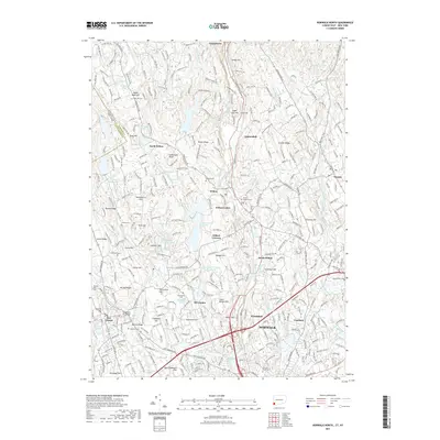
 2024 Glenville2024 Print · USGSThe interstate borderlands of Fairfield and Westchester counties are mapped here in the modern era, showing where established estates meet institutional growth. Researchers can trace historic cemeteries like Round Hill Community Cem and Quaker Ridge Cem alongside landmarks such as Westchester County Airport.
End of results
Showing maps 1-20 of 20
Top cities of Westchester County
- Yonkers historical maps
- Greenburgh historical maps
- New Rochelle historical maps
- Mount Vernon historical maps
- White Plains historical maps
- Rye historical maps
See more
Frequently asked questions
- What are the different types of historical maps available for Westchester County?
- What is the oldest map of Westchester County?
- Where can I purchase historical maps of Westchester County for my home or office?
- Where can I download high-res historical maps of Westchester County?
- Are there historical topographic maps available for Westchester County?
- Is there historical aerial imagery available for Westchester County?
- Where are historical maps of Westchester County sourced from?