2020s Maps of Brunswick County, North Carolina
Explore 29 historic maps of Brunswick County from the 2020s. These maps offer a rare glimpse into what life looked like during the 2020s — showing old roads, neighborhoods, homes, and landmarks that have changed or disappeared over time.
Whether you're researching your family's past, planning a metal detecting trip, or studying how Brunswick County's landscape evolved across the 2020s, these high-resolution maps are a powerful tool for exploring the history of this region.
- Focus on a specific era: All maps on this page are from the 2020s, giving you a focused view of this time period.
- See what’s changed: Compare century-old streets, trails, and buildings to today's modern landscape using overlays and satellite layers.
- Research with precision: Use these maps for genealogy, historical research, land use analysis, or educational projects.
- View, download, or print: Maps are fully viewable online in high resolution, and can be downloaded or printed for your own records.
Start exploring Brunswick County's history through authentic maps from the 2020s. This is your window into the past.
Brunswick County, NC maps
(29)- 2020 Map of Little River, 2020 Print
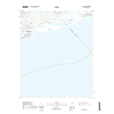 2020 Little River2020 Print · USGSThe Carolina coast near the border comes into focus in the early twenty-first century, showing the complex inlets and sounds of the Grand Strand. Researchers can trace land use from coastal landmarks like The Battery to established resort areas like North Myrtle Beach and Sunset Beach.
 - 2020 Map of Longs, 2020 Print
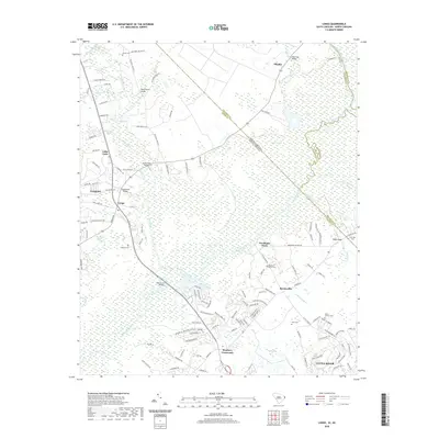 2020 Longs2020 Print · USGSCoastal South Carolina meets the North Carolina border in this recent survey of the Waccamaw River valley. Genealogists and local historians can trace family sites at Mount Calvery Cem and Bellamy Cem, or locate the historic crossing at Worthams Ferry.
 - 2022 Map of Shallotte OE S, 2022 Print
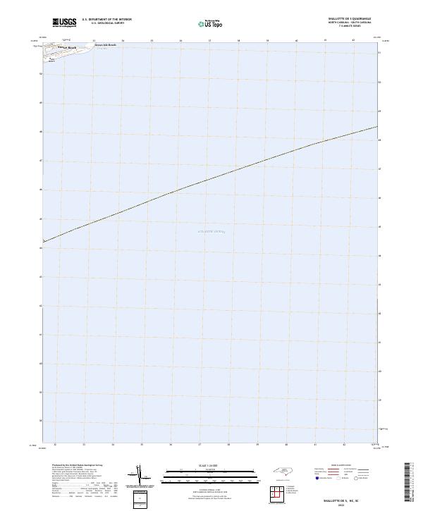 2022 Shallotte OE S2022 Print · USGSThe Brunswick County coastline is captured here in the early 2020s, focusing on the barrier islands and maritime waters. You can trace the residential street grids of Sunset Beach and Ocean Isle Beach near the waters of Tubbs Inlet.
 - 2022 Map of Holden Beach, 2022 Print
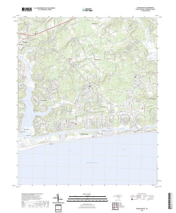 2022 Holden Beach2022 Print · USGSThe Brunswick County coast comes into focus during this era of growth, showing the intricate balance between barrier island life and mainland river settlements. Trace family landmarks and local history through Silent Grove Cem, the streets of Shallotte, and the fishing village of Varnamtown.
 - 2022 Map of Cape Fear OE W, 2022 Print
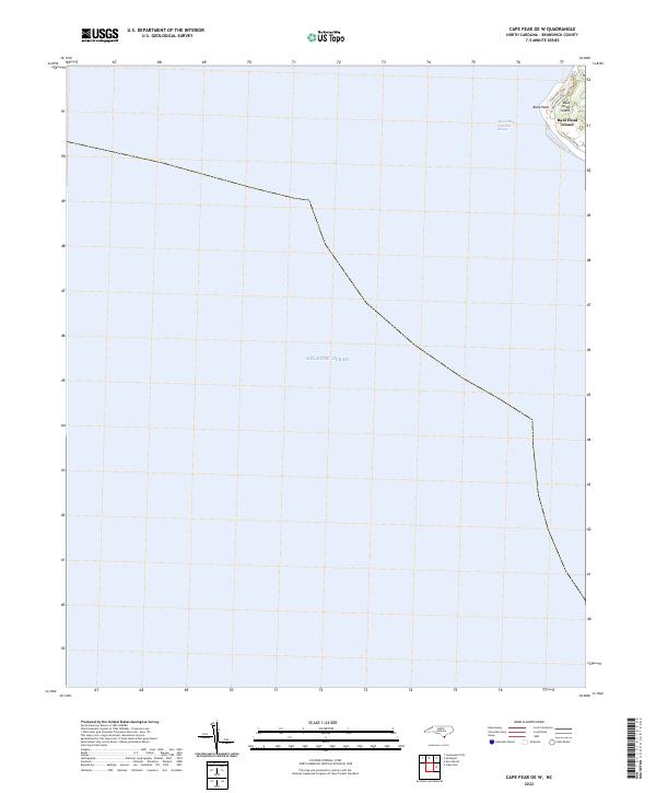 2022 Cape Fear OE W2022 Print · USGSCoastal North Carolina's southernmost tip is documented here in the early 2020s, showing the intersection of maritime navigation and island life. You can trace the modern road network of Bald Head Island via Cape Fear Trl and see the vital Bald Head Channel Range in the surrounding waters.
 - 2022 Map of Calabash, 2022 Print
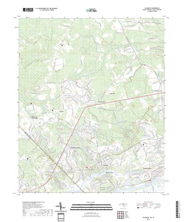 2022 Calabash2022 Print · USGSThe coastal borderlands of the Carolinas are shown here in modern detail, from the marshlands to the beach. Genealogists can locate several family sites like Manley Bennett Cem and Wilson Cem amidst the reaches of Cawcaw Swamp.
 - 2022 Map of Shallotte, 2022 Print
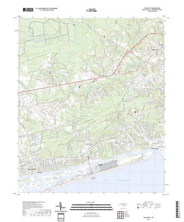 2022 Shallotte2022 Print · USGSThe Brunswick County coast is documented here in the early 2020s, from the inland reaches of the Shallotte River to the barrier islands. You can trace old family burial grounds like Mintz Cem and Register Cem or explore the developed waterfronts of Holden Beach and Sunset Beach.
 - 2022 Map of Freeland, 2022 Print
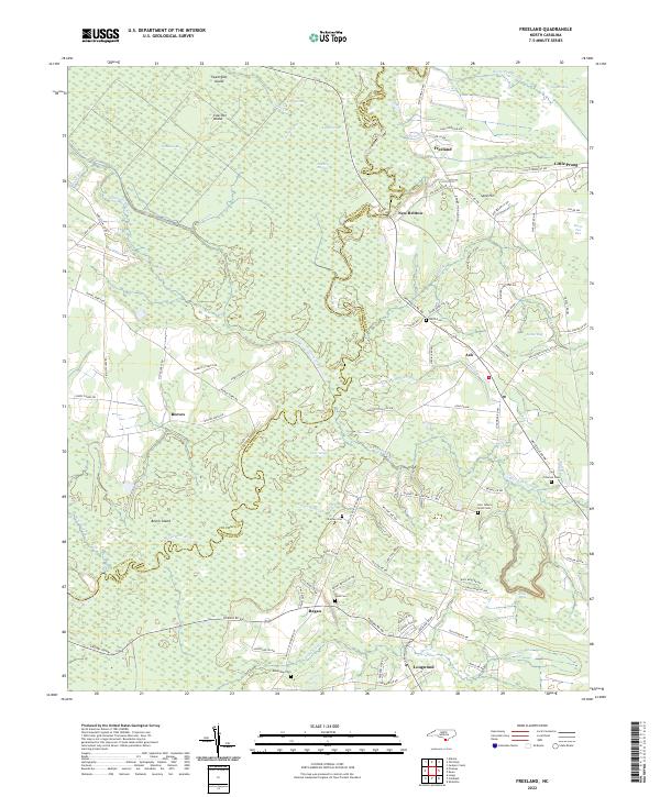 2022 Freeland2022 Print · USGSCoastal Brunswick County in the early 2020s remains a landscape of intricate wetlands and scattered rural outposts along the Waccamaw. Local historians can trace family ties through numerous small burial sites like Azor James Smith Cem and Ward Cem near the Regan and Ash communities.
 - 2022 Map of Exum, 2022 Print
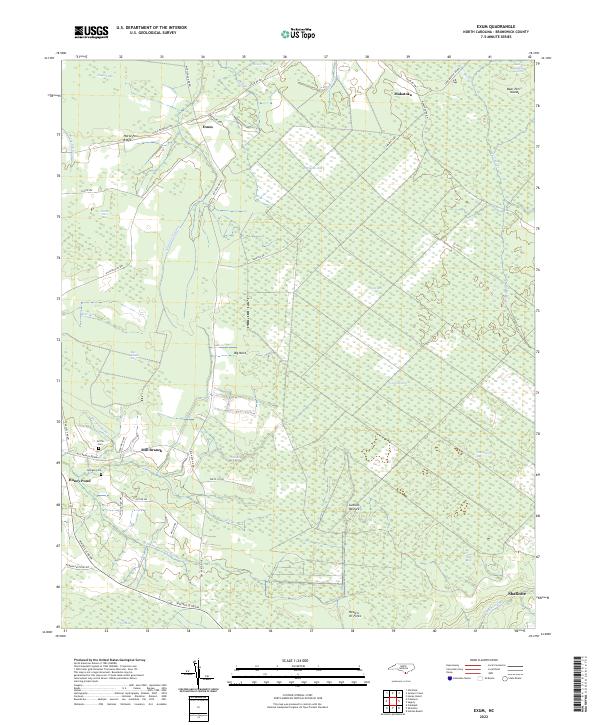 2022 Exum2022 Print · USGSBrunswick County wetlands and rural settlements are mapped here in the early twenty-first century. Genealogists can locate family landmarks like Griffin Cem and Milligan Cem near the communities of Exum and Mill Branch.
 - 2022 Map of Lewis Swamp, 2022 Print
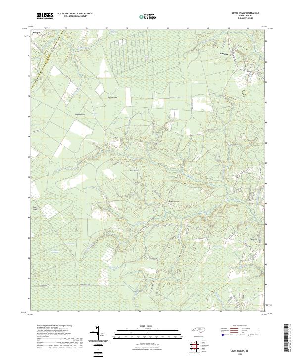 2022 Lewis Swamp2022 Print · USGSSoutheastern North Carolina's coastal lowlands are captured here in the early 2020s, showing a landscape defined by expansive wetlands and isolated communities. Researchers can trace rural family sites near Rabontown and Batarora or explore the drainage of Lewis Swamp and Green Swamp.
 - 2022 Map of Supply, 2022 Print
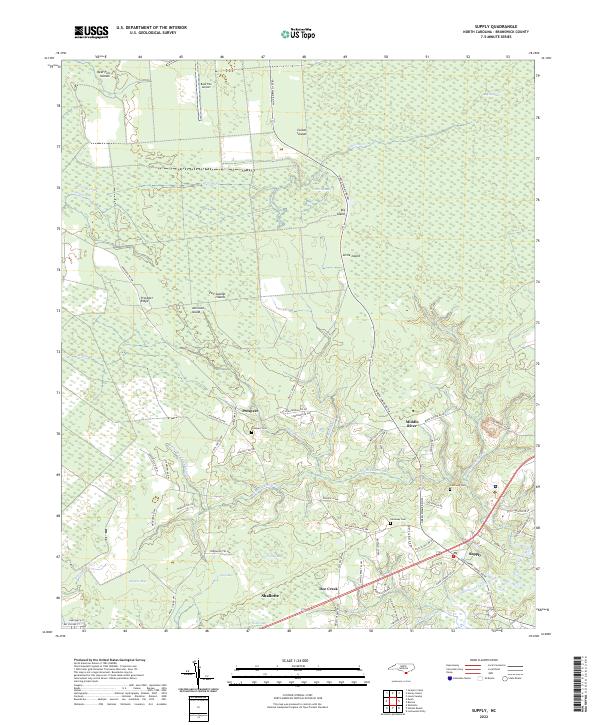 2022 Supply2022 Print · USGSThe coastal plains of Brunswick County come into focus in this recent survey of the swampy lowlands near the Atlantic coast. Genealogists and local historians can trace family ties at the Prospect Cem and Galloway Cem or follow the winding Lockwoods Folly River through Doe Creek.
 - 2022 Map of Old Dock, 2022 Print
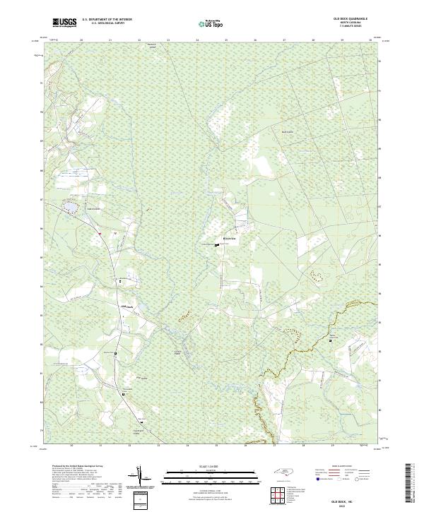 2022 Old Dock2022 Print · USGSCoastal wetlands and riverine settlements define the Columbus County landscape in the early 2020s. Genealogists can trace family heritage through numerous sites like Blackmon Cem and Formyduval Cem near the banks of the Waccamaw River.
 - 2022 Map of Pireway, 2022 Print
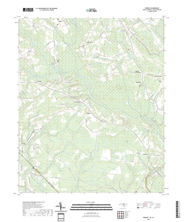 2022 Pireway2022 Print · USGSIn the early twenty-first century, this coastal plain landscape on the Carolina border remains defined by its unique wetlands and rural hamlets. Researchers can trace family history through sites like Bethel Cem and Marlowe Cem or explore the geography of Jenrette Bay and Pireway.
 - 2022 Map of Southport, 2022 Print
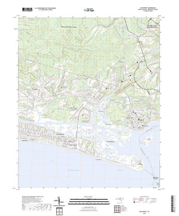 2022 Southport2022 Print · USGSCoastal Brunswick County comes into focus in this contemporary study of the Cape Fear estuary and its barrier islands. Researchers can trace family history through the Old Smithville Burying Ground and explore the grounds of Fort Caswell.
 - 2022 Map of Kure Beach, 2022 Print
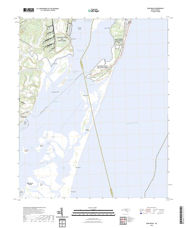 2022 Kure Beach2022 Print · USGSCoastal North Carolina at the mouth of the Cape Fear River appears here in a detailed contemporary survey. Researchers can trace modern developments in Kure Beach, the ferry route to Southport, and the maritime landmarks around Bald Head Island and Zekes Island.
 - 2022 Map of Lockwoods Folly, 2022 Print
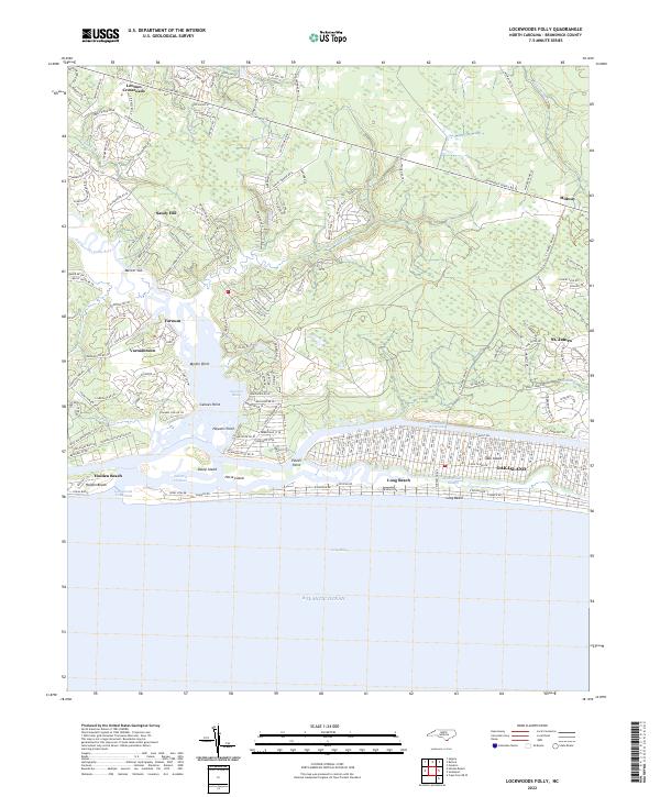 2022 Lockwoods Folly2022 Print · USGSThe Brunswick County coast comes into sharp focus in this recent survey, showcasing the established beach communities and river settlements. Trace the residential growth of Oak Island and Holden Beach or locate inland landmarks like Lennon Crossroads and Mercers Mill Pond.
 - 2022 Map of Cape Fear, 2022 Print
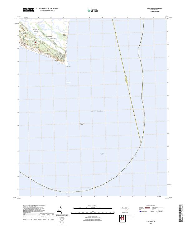 2022 Cape Fear2022 Print · USGSCoastal Brunswick County comes into focus in this contemporary survey of the state's southern tip. You can trace the road networks on Bald Head Island and the intricate marsh channels surrounding Middle Island and Bluff Island.
 - 2022 Map of Carolina Beach, 2022 Print
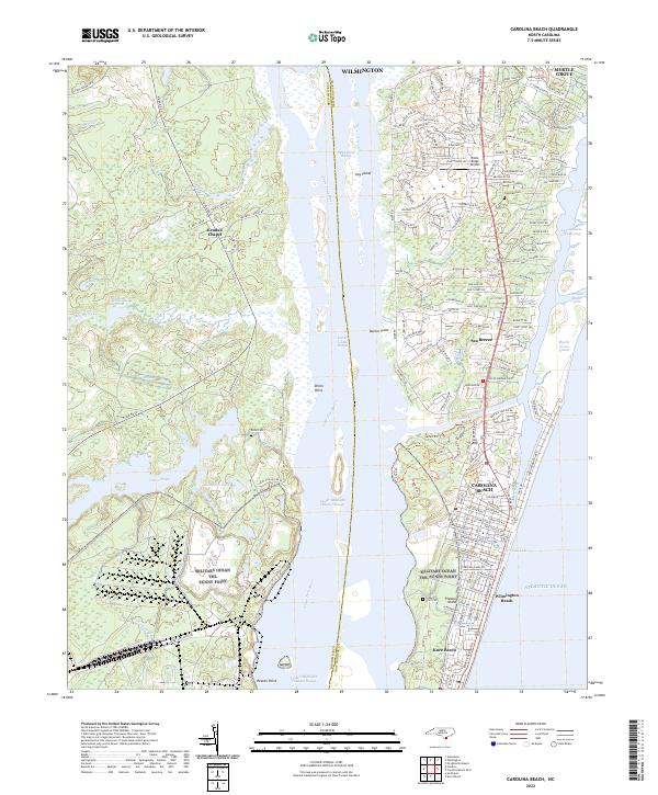 2022 Carolina Beach2022 Print · USGSPleasure Island and the Cape Fear River estuary are shown here in the early 2020s, documenting the modern layout of these coastal communities. Researchers can trace local landmarks from Federal Point Cem and Kendall Chapel to the busy waters of Snows Cut.
 - 2022 Map of Wilmington, 2022 Print
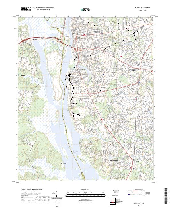 2022 Wilmington2022 Print · USGSWilmington and its surrounding riverfronts are captured here during a period of modern coastal growth. Researchers can trace family sites at Oakdale Cem, navigate the intricate channels of Eagle Island, or locate the historic New Hanover County Courthouse.
 - 2022 Map of Castle Hayne, 2022 Print
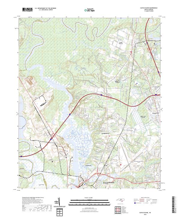 2022 Castle Hayne2022 Print · USGSThe riverine landscape north of Wilmington comes into focus in this early twenty-first-century survey of New Hanover County. Researchers can trace the development of Wrightsboro and Hightsville or locate historic sites like Shoulder Branch Cem and Eagle Island.
 - 2022 Map of Leland, 2022 Print
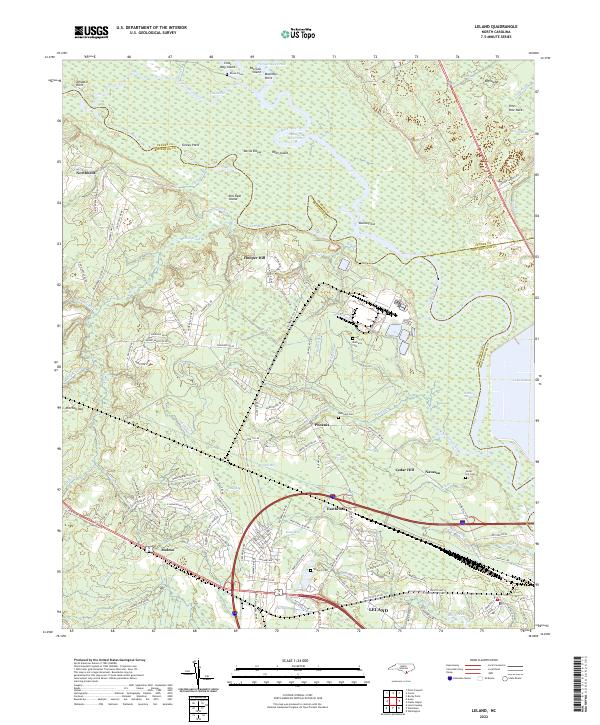 2022 Leland2022 Print · USGSThe coastal lowlands west of Wilmington are documented here in the early twenty-first century, showing the meeting of the Cape Fear River and Black River. Genealogists can trace local landmarks like Rhyne Grave, Cedar Hill Cem, and the communities of Phoenix and Navassa.
 - 2022 Map of Juniper Creek, 2022 Print
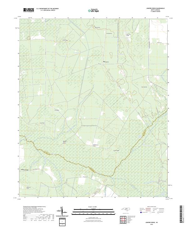 2022 Juniper Creek2022 Print · USGSThe Green Swamp wilderness at the Columbus and Brunswick county line is captured here in the early twenty-first century, revealing an intricate network of wetlands and ridges. Researchers can trace historic access routes like Tram Rd or locate family-named landmarks such as Schoolhouse Ridge and Grays Ridge.
 - 2022 Map of Winnabow, 2022 Print
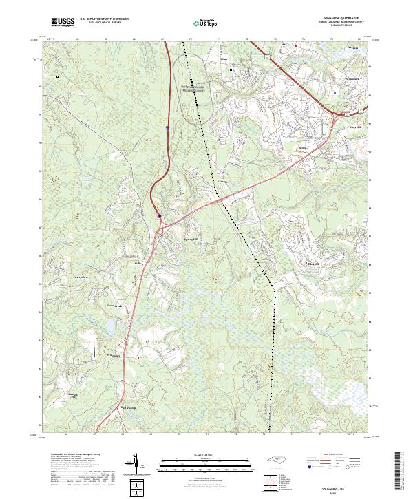 2022 Winnabow2022 Print · USGSCoastal Brunswick County is captured here during its recent period of rapid expansion and suburban growth. Genealogists and local historians can trace family roots at Benton Cem or explore established communities like Winnabow, Leland, and Navassa.
 - 2022 Map of Acme, 2022 Print
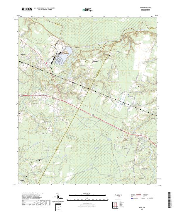 2022 Acme2022 Print · USGSBrunswick and Columbus counties come together in this early twenty-first-century survey of the North Carolina coastal plain. Researchers can locate several family burial grounds including Skipper Cem and Atkinson Cem alongside settlements like Acme and Delco.
 - 2022 Map of Funston, 2022 Print
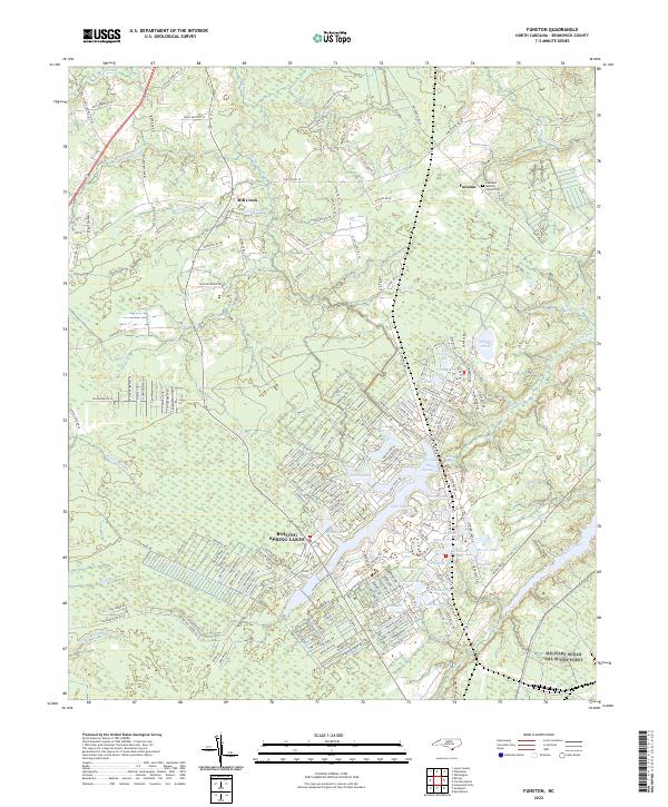 2022 Funston2022 Print · USGSBrunswick County at the start of the 2020s shows the expansion of Boiling Spring Lakes amidst the coastal wetlands. Local researchers can trace family landmarks like the Lebanon Baptist Church and Cem near Funston.
Showing maps 1-25 of 29
Top cities of Brunswick County
- Leland historical maps
- Oak Island historical maps
- Boiling Spring Lakes historical maps
- Southport historical maps
- Sunset Beach historical maps
- Carolina Shores historical maps
See more
Frequently asked questions
- What are the different types of historical maps available for Brunswick County?
- What is the oldest map of Brunswick County?
- Where can I purchase historical maps of Brunswick County for my home or office?
- Where can I download high-res historical maps of Brunswick County?
- Are there historical topographic maps available for Brunswick County?
- Is there historical aerial imagery available for Brunswick County?
- Where are historical maps of Brunswick County sourced from?