2000s (21st Century) Maps of Brunswick County, North Carolina
Explore 136 historic maps of Brunswick County from the 2000s (21st Century). These maps offer a rare glimpse into what life looked like during the 2000s — showing old roads, neighborhoods, homes, and landmarks that have changed or disappeared over time.
Whether you're researching your family's past, planning a metal detecting trip, or studying how Brunswick County's landscape evolved across the 2000s, these high-resolution maps are a powerful tool for exploring the history of this region.
- Focus on a specific era: All maps on this page are from the 2000s, giving you a focused view of this time period.
- See what’s changed: Compare century-old streets, trails, and buildings to today's modern landscape using overlays and satellite layers.
- Research with precision: Use these maps for genealogy, historical research, land use analysis, or educational projects.
- View, download, or print: Maps are fully viewable online in high resolution, and can be downloaded or printed for your own records.
Start exploring Brunswick County's history through authentic maps from the 2000s. This is your window into the past.
Brunswick County, NC maps
(136)- 2002 Map of Exum
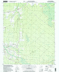 2002 Exum2002 Print · USGSCoastal Brunswick County comes into focus in this late-century survey, centered on the communities of Exum and Makatoka. Local historians can trace family roots through numerous small landmarks like Griffin Cem, St Matthew Ch, and Ludlum Pasture.
 - 2010 Map of Kure Beach, 2010 Print
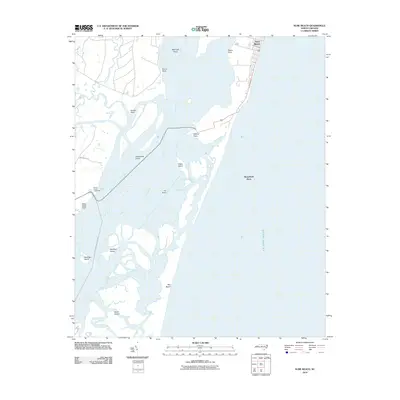 2010 Kure Beach2010 Print · USGSThe Lower Cape Fear shoreline comes into sharp focus during the early twenty-first century, revealing a landscape of coastal settlements and intricate shoals. Maritime historians can trace the positions of Prices Creek Lighthouse and The Rocks against the residential footprint of Kure Beach.
 - 2010 Map of Lockwoods Folly, 2010 Print
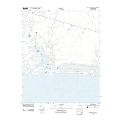 2010 Lockwoods Folly2010 Print · USGSCoastal Brunswick County is defined by the meeting of the Lockwoods Folly River and the sea. Trace the transition from maritime villages like Varnamtown and Sunset Harbor to the island developments at Long Beach.
 - 2010 Map of Holden Beach, 2010 Print
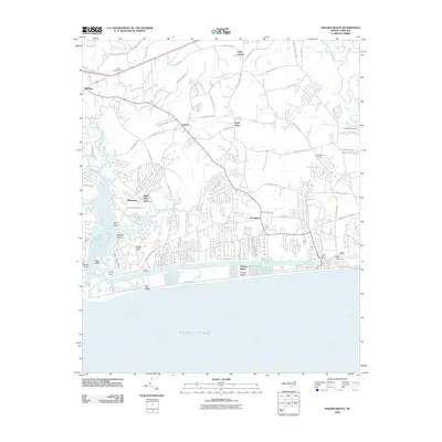 2010 Holden Beach2010 Print · USGSCoastal Brunswick County comes into focus in this 2010 survey, showcasing the maritime heritage of the Shallotte River and the barrier island communities. Genealogists and local historians can trace family ties at Lehew Cemetery or locate old water crossings like Holden Ferry.
 - 2010 Map of Old Dock, 2010 Print
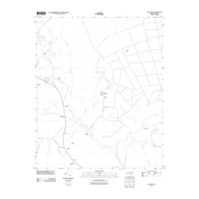 2010 Old Dock2010 Print · USGSThe Waccamaw River lowlands and surrounding wetlands are documented here in the early twenty-first century. Genealogists and local historians can locate numerous family burial grounds including Formyduval Cemetery, Ross Cemetery, and Duncan Cemetery.
 - 2010 Map of Acme, 2010 Print
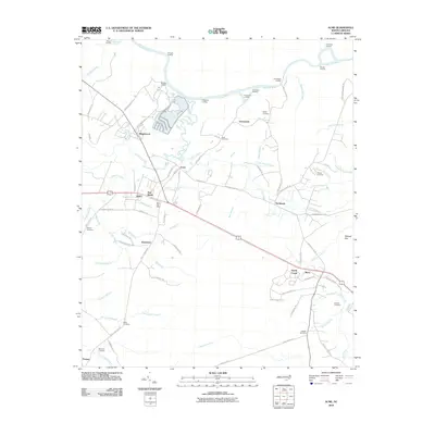 2010 Acme2010 Print · USGSThe riverfront and wetlands of southeastern North Carolina come into focus here during the early twenty-first century. Researchers can trace local genealogy through numerous burial sites like Sykes Cemetery or Rogers Cemetery and locate river landings such as Pridgeons Landing.
 - 2010 Map of Supply, 2010 Print
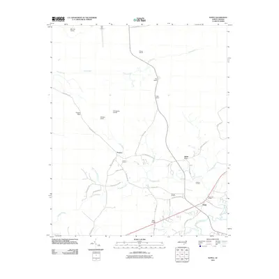 2010 Supply2010 Print · USGSCoastal Brunswick County is shown here in the early twenty-first century, revealing a landscape of winding river systems and small rural communities. Genealogists and researchers can locate Galloway Cemetery, Prospect Cemetery, and the riverside settlement of Doe Creek.
 - 2010 Map of Shallotte, 2010 Print
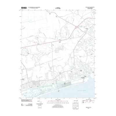 2010 Shallotte2010 Print · USGSThe Brunswick County coast near the end of the first decade of the 2000s shows a landscape of burgeoning coastal plantations and maritime hubs. Researchers can locate family heritage sites like Gurganus Cemetery alongside modern landmarks like Ocean Isle Beach Airport and Lions Paw Golf Links.
 - 2010 Map of Honey Island, 2010 Print
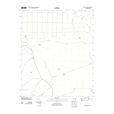 2010 Honey Island2010 Print · USGSCoastal Brunswick County is shown here in the early 21st century, detailing a landscape of savannas and named ridges. Researchers can trace rural road networks like Prosper Cemetery Rd and locate unique landmarks including Bear Pen Airport and the Riegel Lookout Tower.
 - 2010 Map of Winnabow, 2010 Print
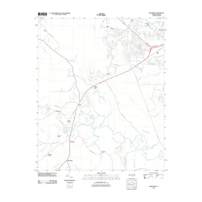 2010 Winnabow2010 Print · USGSCoastal Brunswick County comes into focus at the turn of the decade, showing the transition from rural swamp drainage to developing townships. Trace family roots and local landmarks from Benton Cemetery to the historic centers of Winnabow and Henrytown.
 - 2010 Map of Exum, 2010 Print
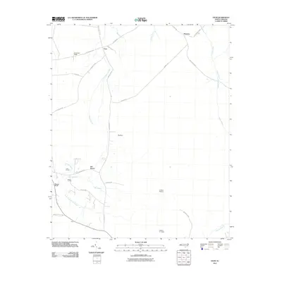 2010 Exum2010 Print · USGSCoastal Brunswick County is shown here in the early twenty-first century, characterized by its intricate swamp systems and rural crossroads. Researchers can locate family landmarks like Griffin Cemetery and Milligan Cemetery or trace the routes through Big Neck and Exum.
 - 2010 Map of Juniper Creek, 2010 Print
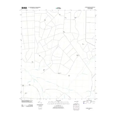 2010 Juniper Creek2010 Print · USGSCoastal plain wetlands and family-named ridges define this part of Columbus County as it appeared in the early twenty-first century. Genealogists and local historians can trace legacy landmarks like Clewis Corner, Schoolhouse Ridge, and Bennett Little Field.
 - 2010 Map of Lewis Swamp, 2010 Print
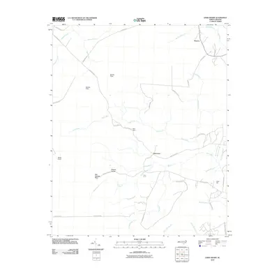 2010 Lewis Swamp2010 Print · USGSCoastal North Carolina rural life is captured here in the early twenty-first century, showing a landscape defined by deep swamps and family settlements. Genealogists can trace local heritage through landmarks like Old Cumbee Place, Flowers Corner, and Piney Grove.
 - 2010 Map of Southport, 2010 Print
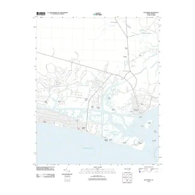 2010 Southport2010 Print · USGSCoastal Brunswick County comes into focus in the early twenty-first century as maritime traditions meet modern residential growth. Researchers can trace military and navigational history from Fort Caswell and the Oak Island Lighthouse to the grounds of Smith Cemetery.
 - 2010 Map of Wilmington, 2010 Print
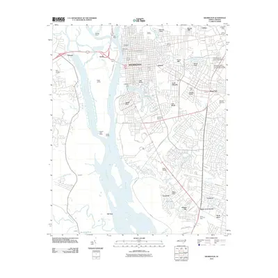 2010 Wilmington2010 Print · USGSThe Cape Fear River dominates this 2010 coastal survey, where the historic port of Wilmington meets the expansive wetlands of Eagle Island. Genealogists and historians can locate legacy sites like Oakdale Cemetery, the cultural landmark Thalian Hall, and the growing campus of UNC Wilmington.
 - 2010 Map of Castle Hayne, 2010 Print
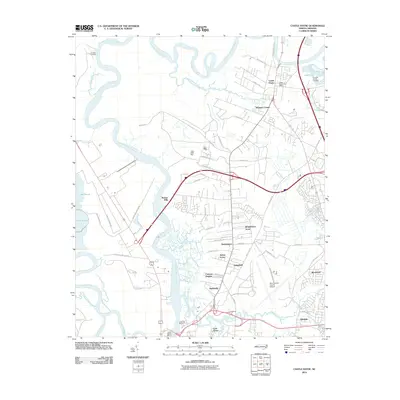 2010 Castle Hayne2010 Print · USGSCoastal New Hanover County is shown here in the early 21st century as suburban growth and industrial sites expand along the Northeast Cape Fear River. Researchers can locate family landmarks like Shoulder Branch Cemetery and the Castle Hayne Post Office.
 - 2010 Map of Freeland, 2010 Print
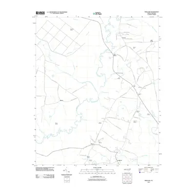 2010 Freeland2010 Print · USGSCoastal Brunswick County comes into focus in this early twenty-first-century survey of its river-bound settlements and family lands. Genealogists can trace local roots at the Azor James Smith Cemetery and Ward Cemetery near the banks of the Waccamaw River.
 - 2010 Map of Bolivia, 2010 Print
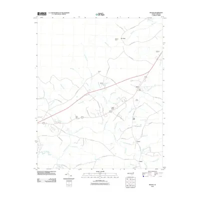 2010 Bolivia2010 Print · USGSCoastal North Carolina woodland and swamp communities come into focus in this late-aughts survey of Brunswick County. Researchers can trace rural settlement patterns and local landmarks from the Bolivia Post Office to the Mercer Cemetery and the uniquely named Half Hell.
 - 2010 Map of Carolina Beach, 2010 Print
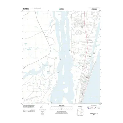 2010 Carolina Beach2010 Print · USGSCarolina Beach and the surrounding coastal communities are shown at the end of the 2000s, where the Atlantic shoreline meets the Cape Fear River. Genealogists and local historians can locate family landmarks such as Freeman Cemetery and Kendall Chapel alongside the developed blocks of Wilmington Beach.
 - 2010 Map of Cape Fear, 2010 Print
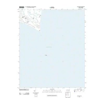 2010 Cape Fear2010 Print · USGSCoastal North Carolina's southernmost tip is documented here at the turn of the millennium, showing the transition from island life to open sea. Trace the shoreline from Bald Head Island out toward the notorious Frying Pan Shoals and the winding Cape Creek.
 - 2011 Map of Funston, 2011 Print
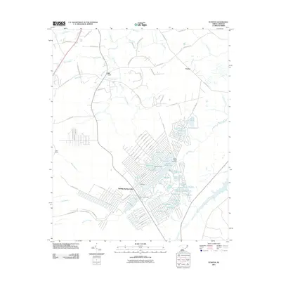 2011 Funston2011 Print · USGSThe community of Boiling Spring Lakes is shown in its modern development phase just after the turn of the millennium, surrounded by the distinctive wetlands of coastal North Carolina. Researchers can trace the layout of residential neighborhoods near Boiling Spring or locate landmarks like Lewis Bridge and the Half Hell Swamp.
 - 2011 Map of Leland, 2011 Print
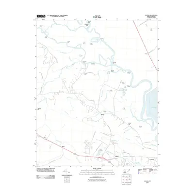 2011 Leland2011 Print · USGSCoastal North Carolina's riverine landscape comes into focus in this early 21st-century survey of the Leland and Navassa areas. Researchers can trace local heritage through sites like Cedar Hill Cemetery, Richards Crossing, and the various landings along the Cope Fear River.
 - 2011 Map of Cape Fear OE W, 2011 Print
 2011 Cape Fear OE W2011 Print · USGSThe southern tip of the North Carolina coast is captured here in the early twenty-first century. Maritime researchers can trace the shoreline at Bald Head and locate the historic Bald Head Lighthouse overlooking the Atlantic Ocean.
 - 2011 Map of Shallotte OE S, 2011 Print
 2011 Shallotte OE S2011 Print · USGSThis coastal survey from the early 2010s captures the edge of the Carolina coastline at the Atlantic Ocean. Local history researchers can trace the coastal street grid, including N Shore Dr, E Main St, and Canal Dr.
 - 2011 Map of Longs, 2011 Print
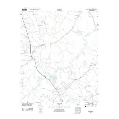 2011 Longs2011 Print · USGSThe Waccamaw River lowlands of Horry County come alive in this detailed look at rural life and river crossings early in the millennium. Genealogists can trace family names at Butler Cemetery or Platt Cemetery and locate historical hubs like Worthams Ferry.
Showing maps 1-25 of 136
Top cities of Brunswick County
- Leland historical maps
- Oak Island historical maps
- Boiling Spring Lakes historical maps
- Southport historical maps
- Sunset Beach historical maps
- Carolina Shores historical maps
See more
Frequently asked questions
- What are the different types of historical maps available for Brunswick County?
- What is the oldest map of Brunswick County?
- Where can I purchase historical maps of Brunswick County for my home or office?
- Where can I download high-res historical maps of Brunswick County?
- Are there historical topographic maps available for Brunswick County?
- Is there historical aerial imagery available for Brunswick County?
- Where are historical maps of Brunswick County sourced from?