1990s Maps of Burke County, North Carolina
Explore 21 historic maps of Burke County from the 1990s. These maps offer a rare glimpse into what life looked like during the 1990s — showing old roads, neighborhoods, homes, and landmarks that have changed or disappeared over time.
Whether you're researching your family's past, planning a metal detecting trip, or studying how Burke County's landscape evolved across the 1990s, these high-resolution maps are a powerful tool for exploring the history of this region.
- Focus on a specific era: All maps on this page are from the 1990s, giving you a focused view of this time period.
- See what’s changed: Compare century-old streets, trails, and buildings to today's modern landscape using overlays and satellite layers.
- Research with precision: Use these maps for genealogy, historical research, land use analysis, or educational projects.
- View, download, or print: Maps are fully viewable online in high resolution, and can be downloaded or printed for your own records.
Start exploring Burke County's history through authentic maps from the 1990s. This is your window into the past.
Burke County, NC maps
(21)- 1993 Map of Oak Hill, 1995 Print
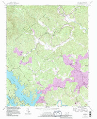 1993 Oak Hill1995 Print · USGSBurke County’s rugged foothills and the northern reaches of Lake James are captured here in the mid-nineties. Researchers can trace rural community life through numerous landmarks like Quaker Meadow Ch, the Willow Tree Sch, and the Tablerock State Fish Hatchery.
 - 1993 Map of Chestnut Mountain, 1995 Print
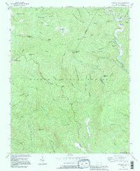 1993 Chestnut Mountain1995 Print · USGSThe Pisgah National Forest at the meeting of Avery, Burke, and Caldwell counties shows its mid-century character on this revised sheet. Researchers can trace the layout of Mortimer near its Ranger Station, locate the Parks Cem, and follow the historic Old Way trail through the high ridges.
 - 1993 Map of Drexel, 1995 Print
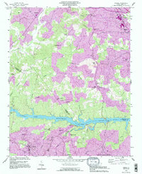 1993 Drexel1995 Print · USGSThe river-and-rail corridor of central North Carolina is captured here in the 1990s as the communities of Drexel and Valdese continued their growth south of Rhodhiss Lake. Genealogists can trace local roots through numerous landmarks like North Catawba Ch, Puett Cem, and the old settlement of Baton.2 unique versions available
 - 1993 Map of Bethlehem, 1996 Print
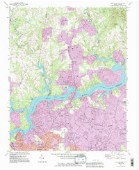 1993 Bethlehem1996 Print · USGSLake Hickory and the Catawba River divided three North Carolina counties during this period of suburban expansion. Researchers can trace family history through numerous rural landmarks like Bentley Cem, Petra Mills, and St Stephens High Sch.
 - 1993 Map of Valdese, 1996 Print
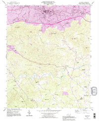 1993 Valdese1996 Print · USGSBurke County in the early nineties shows the busy manufacturing corridor along the railroad being overtaken by suburban growth. Genealogists and historians can trace family locations through numerous rural landmarks like Walker Chapel, Bollingers Chapel, and Rutherford College.
 - 1993 Map of Morganton North, 1996 Print
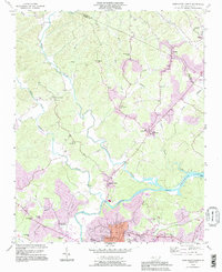 1993 Morganton North1996 Print · USGSThe Johns River and Catawba River valleys in Burke County were undergoing notable suburban expansion in the 1990s. Researchers can locate historic rural centers like Arneys Store and Hartland, along with family landmarks such as Houck Cem and Bost Cem.
 - 1993 Map of Morganton South, 1996 Print
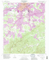 1993 Morganton South1996 Print · USGSMorganton and the southern Burke County foothills are captured here in the 1990s as the town expanded toward the South Mountains. Trace local roots at State Hospital, the State Sch for the Deaf, or rural landmarks like Mull Grove Ch and Enola.
 - 1993 Map of Collettsville, 1996 Print
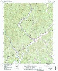 1993 Collettsville1996 Print · USGSCaldwell County’s river valleys and national forest ridges are captured here in the 1990s as the community of Collettsville continues its long history. Genealogists can locate family-named sites like Conways Chapel, Ollis Hill Ch, and the small settlement of Adako.
 - 1993 Map of Dysartsville, 1996 Print
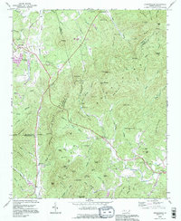 1993 Dysartsville1996 Print · USGSThe tri-county borderlands of North Carolina come into focus during the mid-nineties, showing a landscape defined by the First Broad River and rural crossroads. Genealogists can trace family landmarks near Dysartsville, Golden Valley, and rural congregations like Missionary Ch.
 - 1993 Map of Ashford, 1996 Print
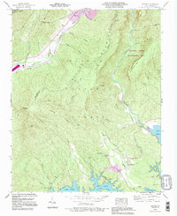 1993 Ashford1996 Print · USGSThe northern shores of Lake James and the steep descent into the Linville Gorge Wilderness Area define this McDowell and Burke County landscape in the 1990s. Researchers can locate the South Mtn Institute, Brown Cem, and the community of Ashford.
 - 1993 Map of Granite Falls, 1996 Print
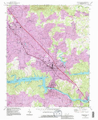 1993 Granite Falls1996 Print · USGSThe Catawba River valley in the early nineties shows the transformation of the landscape by the impounded Rhodhiss Lake. Genealogists and local historians can trace rural roots at Sunset Hill Cem or find landmarks like the Hudson Drag Strip.
 - 1993 Map of Glen Alpine, 1996 Print
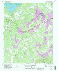 1993 Glen Alpine1996 Print · USGSBurke County in the early nineties shows a landscape shaped by the Catawba River and the expanding infrastructure around Glen Alpine. Researchers can trace old family sites near Brindletown or locate rural landmarks like Snow Hill Ch and Me Alpine Sch.
 - 1993 Map of Longview, 1996 Print
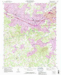 1993 Longview1996 Print · USGSThe borderlands of Burke and Catawba counties come into focus during the mid-1990s as suburban growth reaches into the river valleys. Genealogists and local historians can trace family roots through numerous landmarks like Burke Chapel, Propst Crossroads, and Icard.
 - 1993 Map of Marion East, 1996 Print
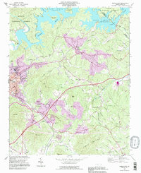 1993 Marion East1996 Print · USGSMcDowell County in the 1990s shows a landscape of growing communities and mountain industry between the Blue Ridge foothills and the waters of Lake James. Family historians can trace local landmarks like Nebo High Sch, Oak Grove Cem, and Parkers Chapel.
 - 1994 Map of Linville Falls, 1996 Print
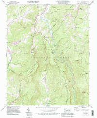 1994 Linville Falls1996 Print · USGSThe Blue Ridge high country of western North Carolina is documented here in the mid-nineties, centered on the dramatic descent of the Linville River. Researchers can locate family landmarks like Wise Cem and Pisgah Ch near the historic Linville Caverns.2 unique versions available
 - 1994 Map of Marion East, 1998 Print
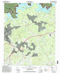 1994 Marion East1998 Print · USGSMcDowell County's eastern reaches are captured here in the mid-nineties, showing the integration of Lake James with the rail-side growth of Marion. Researchers can pinpoint local landmarks from the State Prison Camp to rural congregations like Drusilla Church and Fairview Church.
 - 1994 Map of Chestnut Mountain, 1998 Print
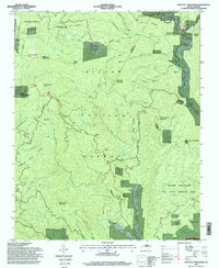 1994 Chestnut Mountain1998 Print · USGSThe rugged highlands of the Blue Ridge come into focus in the 1990s as this area of the Pisgah National Forest balances wilderness and recreation. Genealogists and local historians can locate Kawana Cemetery, the settlement of Mortimer, and landmarks like Bandy Cove Mountain.
 - 1994 Map of Ashford, 1998 Print
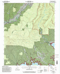 1994 Ashford1998 Print · USGSThe McDowell and Burke county lines meet here in the 1990s as high mountain wilderness gives way to the backwaters of the Catawba. Trace the route of the Clinchfield RR or locate historic sites like the South Mountain Institute and Brown Cemetery.2 unique versions available
 - 1994 Map of Glen Alpine, 1998 Print
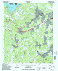 1994 Glen Alpine1998 Print · USGSWestern North Carolina's Catawba Valley comes into focus in the mid-1990s as the river basin meets the foothills of the Pisgah Forest. Researchers can trace family roots through numerous local landmarks like Mt Herman Church, Mc Alpine School, and the settlement of Bridgewater.
 - 1994 Map of Oak Hill, 1998 Print
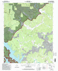 1994 Oak Hill1998 Print · USGSThe Burke County foothills meet the northern shores of Lake James in the 1990s, where forested wilderness gives way to established rural communities. Researchers can locate numerous local landmarks including the Tablerock State Fish Hatchery, Willow Tree School, and Smyrna Church.
 - 1994 Map of Collettsville, 1998 Print
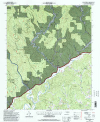 1994 Collettsville1998 Print · USGSCaldwell County's mountain settlements and forest lands are captured here during the mid-1990s as the regional timber and recreation landscape evolved. Researchers can locate remote family sites and country churches like Green Valley Church, Conways Chapel, and the community of Collettsville.
End of results
Showing maps 1-21 of 21
Top cities of Burke County
- Morganton historical maps
- Valdese historical maps
- Icard historical maps
- Drexel historical maps
- Connelly Springs historical maps
- Hildebran historical maps
See more
Frequently asked questions
- What are the different types of historical maps available for Burke County?
- What is the oldest map of Burke County?
- Where can I purchase historical maps of Burke County for my home or office?
- Where can I download high-res historical maps of Burke County?
- Are there historical topographic maps available for Burke County?
- Is there historical aerial imagery available for Burke County?
- Where are historical maps of Burke County sourced from?