2010s Maps of Burke County, North Carolina
Explore 72 historic maps of Burke County from the 2010s. These maps offer a rare glimpse into what life looked like during the 2010s — showing old roads, neighborhoods, homes, and landmarks that have changed or disappeared over time.
Whether you're researching your family's past, planning a metal detecting trip, or studying how Burke County's landscape evolved across the 2010s, these high-resolution maps are a powerful tool for exploring the history of this region.
- Focus on a specific era: All maps on this page are from the 2010s, giving you a focused view of this time period.
- See what’s changed: Compare century-old streets, trails, and buildings to today's modern landscape using overlays and satellite layers.
- Research with precision: Use these maps for genealogy, historical research, land use analysis, or educational projects.
- View, download, or print: Maps are fully viewable online in high resolution, and can be downloaded or printed for your own records.
Start exploring Burke County's history through authentic maps from the 2010s. This is your window into the past.
Burke County, NC maps
(72)- 2010 Map of Morganton South, 2010 Print
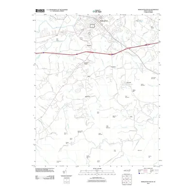 2010 Morganton South2010 Print · USGSSouth of the Catawba River in the early twenty-first century, this area of Burke County transitions from city streets to the foothills of the Blue Ridge. Researchers can trace rural lineages through communities like Pumpkin Center, Enola, and Sunnyside, or locate the Burke Memorial Cemetery and the Silver Creek Airport.
 - 2010 Map of Casar, 2010 Print
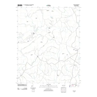 2010 Casar2010 Print · USGSCleveland County in the early twenty-first century remains a landscape of prominent peaks and quiet rural crossroads. Genealogists and hikers can trace the terrain around Carpenter Knob, the village of Casar, and the waters of Shoups Ford.
 - 2010 Map of Bethlehem, 2010 Print
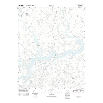 2010 Bethlehem2010 Print · USGSHickory and its northern suburbs are shown at the start of the millennium as residential growth expands toward the Upper Little River. Genealogists can trace family landmarks at Bentley Cemetery, Pisgah Cemetery, and the historic settlement area of Bethlehem.
 - 2010 Map of Dysartsville, 2010 Print
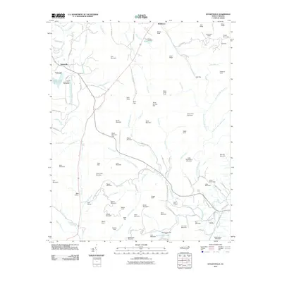 2010 Dysartsville2010 Print · USGSThe Tennessee River and NC & ST L RY define this 1950s-era landscape of rural Tennessee. Researchers can pinpoint historic community hubs like Camden, Eva Sch, and Mt Carmel Cem while exploring mid-century property lines.
 - 2010 Map of Banoak, 2010 Print
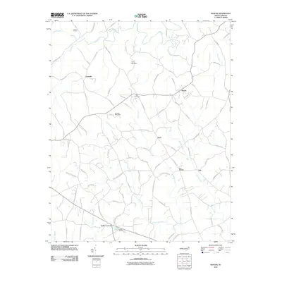 2010 Banoak2010 Print · USGSThe Piedmont countryside south of Hickory comes alive in this survey of small crossroads and family-named lands. Genealogists can trace family connections through landmarks like Chapman Cemetery and numerous rural hubs including Cat Square and Hulls Crossroads.
 - 2010 Map of Granite Falls, 2010 Print
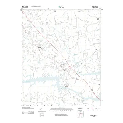 2010 Granite Falls2010 Print · USGSCaldwell County's industrial and residential corridors are shown here during a period of modern development along the banks of Rhodhiss Lake. Researchers can trace local heritage through sites like Sunset Hill Cemetery, the Caldwell County Fairgrounds, and the historic Rhodhiss Dam.
 - 2010 Map of Longview, 2010 Print
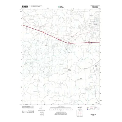 2010 Longview2010 Print · USGSThe foothills of North Carolina are seen here as suburban growth met rural heritage in the early twenty-first century. Researchers can trace family sites near Burke Chapel or locate industrial landmarks like the Henry River Dam and Miller Bridge.
 - 2010 Map of Drexel, 2010 Print
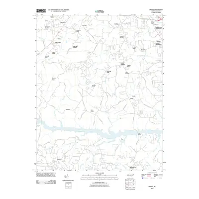 2010 Drexel2010 Print · USGSThe Catawba River valley in the early 21st century is defined here by the winding waters of Rhodhiss Lake and the growth of mountain-view communities. Researchers can trace family-named sites and infrastructure from Puett Cemetery and Drexel to the Morganton-Lenoir Airport.
 - 2010 Map of Valdese, 2010 Print
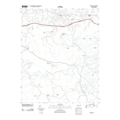 2010 Valdese2010 Print · USGSThe foothills of Burke County are captured here in the early twenty-first century as the area continued to grow along the I-40 corridor. Local historians can trace the geography of upland settlements from Valdese to the ridges of Mineral Springs Mountain and Sugarloaf Mountain.
 - 2010 Map of Morganton North, 2010 Print
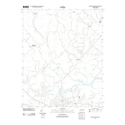 2010 Morganton North2010 Print · USGSNorth Carolina’s river country unfolds here as the new millennium began, where the Catawba River meets the winding Johns River. Genealogists and local researchers can trace family landmarks like Houck Cemetery or follow the development of communities like Chesterfield and Worry.
 - 2010 Map of Benn Knob, 2010 Print
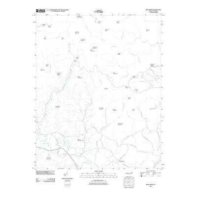 2010 Benn Knob2010 Print · USGSThe South Mountains of North Carolina come into sharp focus in this 2010 survey of the rugged ridges near Casar. Researchers can trace the rural landscape from the Horse Ridge Lookout Tower to the settlement at New Home and the waters of the First Broad River.
 - 2011 Map of Oak Hill, 2011 Print
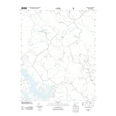 2011 Oak Hill2011 Print · USGSBurke County at the turn of the decade reveals a landscape where the waters of Lake James meet the rising foothills. Genealogists and local historians can trace family-named roads near the Table Rock State Fish Hatchery or locate rural settlements like Oak Hill and Gold.
 - 2011 Map of Linville Falls, 2011 Print
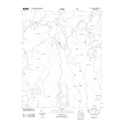 2011 Linville Falls2011 Print · USGSThe Blue Ridge high country is captured here during the early twenty-first century, centered on the dramatic Linville Gorge. Genealogists and local historians can trace family ties at the Wise Cemetery, McKinney Cemetery, and the settlement of Altamont.
 - 2011 Map of Marion East, 2011 Print
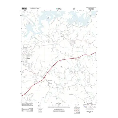 2011 Marion East2011 Print · USGSThe foothills of McDowell County are shown here in the early twenty-first century, centered on the communities of East Marion and Nebo. Researchers can trace family sites at Hoover Cemetery and Pinnacle Church or locate landmarks like the North Carolina State Prison Camp.
 - 2011 Map of Glen Alpine, 2011 Print
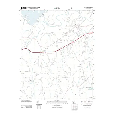 2011 Glen Alpine2011 Print · USGSThe Burke County landscape is defined by the massive reservoirs of the early twenty-first century. Researchers can trace the engineering of Lake James at the Bridgewater Dam or locate family sites at Advent Cemetery and the settlement of Patten.
 - 2011 Map of Collettsville, 2011 Print
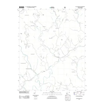 2011 Collettsville2011 Print · USGSCaldwell County’s mountain valleys and ridges are documented here at the turn of the millennium, centered on the community of Collettsville. Researchers can trace old mill sites along Eliza Estes Mill Creek and find family-named landmarks like Coffeys and Adako.
 - 2011 Map of Ashford, 2011 Print
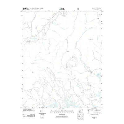 2011 Ashford2011 Print · USGSThe foothills of Western North Carolina are captured here in 2011 as the Catawba and Linville rivers meet at the headwaters of Lake James. Genealogists and historians can trace family sites at Brown Cemetery, navigate the terrain around Honeycutt Tunnel, and locate the old settlement at Longtown.
 - 2011 Map of Chestnut Mountain, 2011 Print
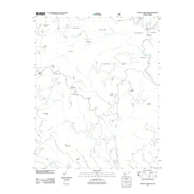 2011 Chestnut Mountain2011 Print · USGSCaldwell County's high ridges and river valleys are captured here in the early twenty-first century, showing a landscape shaped by national forest management. You can locate the Parks Cemetery and trace the paths of Wilson Creek and Steels Creek through this mountain terrain.
 - 2013 Map of Dysartsville, 2013 Print
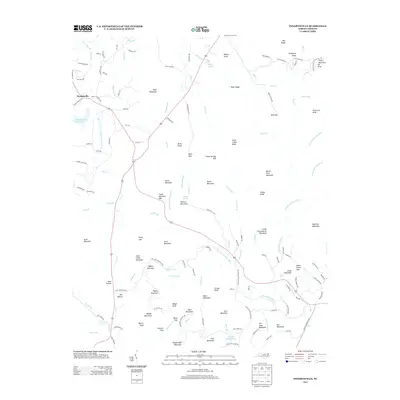 2013 Dysartsville2013 Print · USGSDysartsville and the surrounding McDowell County peaks are captured here in the early twenty-first century as the landscape maintains its traditional rural character. Genealogists and local historians can trace family-named landmarks like Earl Mountain and Jim Long Mountain, or locate the historic Stewart Cove settlement.
 - 2013 Map of Valdese, 2013 Print
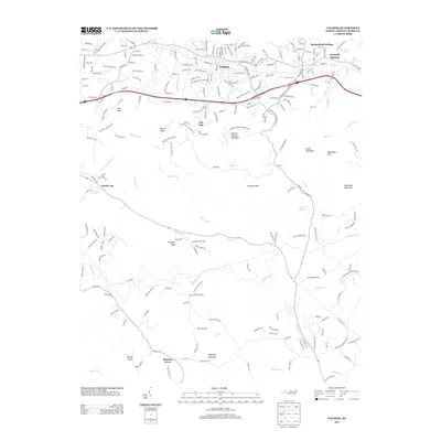 2013 Valdese2013 Print · USGSThe Foothills of Burke County are captured here in the early twenty-first century, showing the growth of Valdese and its surrounding communities. Researchers can trace the path of Henry Fork through the southern hills and locate landmarks like Rutherford College and Sugarloaf Mountain.
 - 2013 Map of Morganton North, 2013 Print
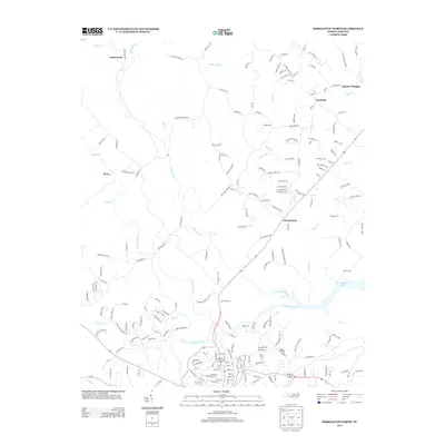 2013 Morganton North2013 Print · USGSNorth Carolina's Burke County foothills come into focus in the early twenty-first century as the Johns River joins the Catawba River. Genealogists and local historians can trace the roads connecting settlements like Chesterfield, Hartland, and the curiously named Worry.
 - 2013 Map of Banoak, 2013 Print
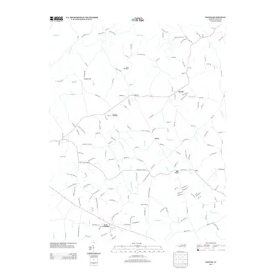 2013 Banoak2013 Print · USGSBanoak and the rural Piedmont countryside appear here during a period of modern residential growth. Genealogists and local historians can trace family land via Cooksville, Cat Square, and the prominent heights of Lynn Mountain near the Jacob Fork waterway.
 - 2013 Map of Benn Knob, 2013 Print
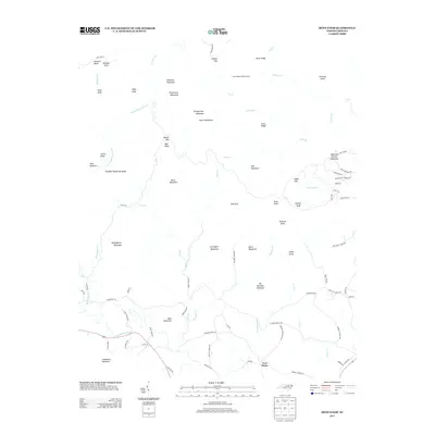 2013 Benn Knob2013 Print · USGSThe foothills of North Carolina are captured here in the early twenty-first century, showing a landscape defined by the high peaks of the South Mountains. Researchers can trace old family landmarks and community roots along Moriah School Rd and near the settlement of New Home.
 - 2013 Map of Chestnut Mountain, 2013 Print
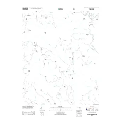 2013 Chestnut Mountain2013 Print · USGSCaldwell County’s high forest country comes into focus in the early 2010s, revealing a landscape of steep ridges and critical mountain drainages. Researchers can trace the layout of Mortimer, locate the Mortimer Recreation Area, or follow the winding courses of Wilson Cr and Upper Cr.
 - 2013 Map of Glen Alpine, 2013 Print
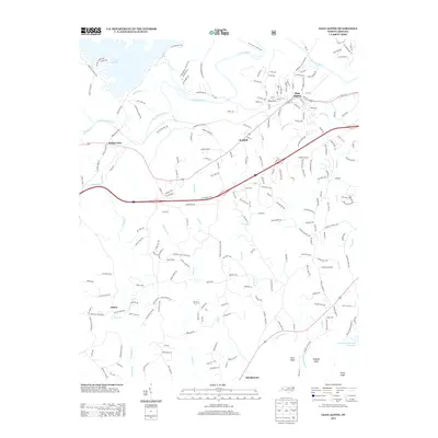 2013 Glen Alpine2013 Print · USGSWestern North Carolina's Catawba Valley comes into focus in this early 21st-century survey of the foothills near Glen Alpine. Genealogists and local historians can trace the roads connecting Bridgewater, Patten, and numerous country churches like Drucilla Church and Morning Star Church.
Showing maps 1-25 of 72
Top cities of Burke County
- Morganton historical maps
- Valdese historical maps
- Icard historical maps
- Drexel historical maps
- Connelly Springs historical maps
- Hildebran historical maps
See more
Frequently asked questions
- What are the different types of historical maps available for Burke County?
- What is the oldest map of Burke County?
- Where can I purchase historical maps of Burke County for my home or office?
- Where can I download high-res historical maps of Burke County?
- Are there historical topographic maps available for Burke County?
- Is there historical aerial imagery available for Burke County?
- Where are historical maps of Burke County sourced from?