2000s (21st Century) Maps of Cabarrus County, North Carolina
Explore 84 historic maps of Cabarrus County from the 2000s (21st Century). These maps offer a rare glimpse into what life looked like during the 2000s — showing old roads, neighborhoods, homes, and landmarks that have changed or disappeared over time.
Whether you're researching your family's past, planning a metal detecting trip, or studying how Cabarrus County's landscape evolved across the 2000s, these high-resolution maps are a powerful tool for exploring the history of this region.
- Focus on a specific era: All maps on this page are from the 2000s, giving you a focused view of this time period.
- See what’s changed: Compare century-old streets, trails, and buildings to today's modern landscape using overlays and satellite layers.
- Research with precision: Use these maps for genealogy, historical research, land use analysis, or educational projects.
- View, download, or print: Maps are fully viewable online in high resolution, and can be downloaded or printed for your own records.
Start exploring Cabarrus County's history through authentic maps from the 2000s. This is your window into the past.
Cabarrus County, NC maps
(84)- 2000 Map of Enochville, 2003 Print
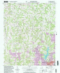 2000 Enochville2003 Print · USGSThe intersection of Rowan, Iredell, and Cabarrus counties is captured here at the turn of the millennium. Researchers can locate family landmarks such as St Enochs Ch and West Corinth Ch alongside local infrastructure like the Drag Strip and Lake Kannapolis.
 - 2002 Map of Richfield, 2003 Print
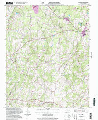 2002 Richfield2003 Print · USGSStanly and Cabarrus counties at the start of the new millennium show a landscape of rural communities and academic life centered on Pfeiffer College. Researchers can trace old family names at Poole Crossing or locate historic congregations like Bethlehem Ch and Salem Ch.
 - 2002 Map of Mount Pleasant, 2003 Print
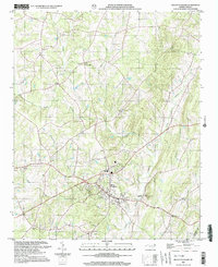 2002 Mount Pleasant2003 Print · USGSMount Pleasant and the surrounding Piedmont countryside are captured here at the dawn of the 21st century. Researchers can trace rural lineages through numerous landmarks like Prosperity Ch, Roger Cem, and the settlement at Watts Crossroads.
 - 2002 Map of Stanfield, 2003 Print
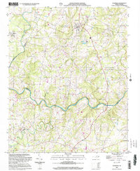 2002 Stanfield2003 Print · USGSStanly and Cabarrus Counties are captured here at the start of the new millennium as the rural landscape around Midland and Stanfield began to transition. Genealogists can locate numerous community anchors like Philadelphia Ch, Indian Hill Ch, and the Kinza Memorial.
 - 2010 Map of Mooresville, 2010 Print
 2010 Mooresville2010 Print · USGSIredell County at the close of the decade shows a region of significant growth and suburban transition. Researchers can trace local development near Lake Norman or locate historical burial grounds like Willow Valley Cemetery and Green Acres Cemetery.
 - 2010 Map of Harrisburg, 2010 Print
 2010 Harrisburg2010 Print · USGSThe northern Charlotte suburbs are captured here at a period of rapid development and collegiate growth. Researchers can trace the layout of the University of North Carolina - Charlotte and find historic sites like Siloam Cemetery and Roberta Mill.
 - 2010 Map of Mint Hill, 2010 Print
 2010 Mint Hill2010 Print · USGSMecklenburg County settlement and suburban expansion are documented here during the early twenty-first century. Researchers can trace family sites and local landmarks from the Robinson Church Community to the Wilgrove Air Park and Evergreen Cemetery.
 - 2010 Map of Richfield, 2010 Print
 2010 Richfield2010 Print · USGSStanly County at the start of the decade reveals a landscape of small crossroads communities and family-named land features. Researchers can trace local history through the roads leading to Misenheimer and Richfield, or locate rural landmarks like Finger and Bear Creek Airport.
 - 2010 Map of Cornelius, 2010 Print
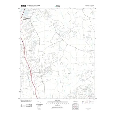 2010 Cornelius2010 Print · USGSMecklenburg County enters a period of rapid suburban growth in this early twenty-first-century survey. Genealogists and local historians can trace the foundations of Smithville and Caldwell, or locate family landmarks like Bethel Cemetery and McEver Field.
 - 2010 Map of Locust, 2010 Print
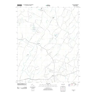 2010 Locust2010 Print · USGSThe growing crossroads at Locust and the historic settlement of Georgeville are captured in this 2010 survey of the North Carolina Piedmont. Genealogists can trace family-named routes and local landmarks like Barriers Mill, Oak Cliffs, and Pharrs Lake.
 - 2010 Map of Concord, 2010 Print
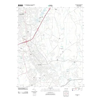 2010 Concord2010 Print · USGSConcord and Kannapolis are shown during a period of significant growth and modern development in the first decade of the 2000s. Researchers can locate local landmarks like Heilmans Mill and Oakwood Cemetery or trace the many waterways including Irish Buffalo Creek.
 - 2010 Map of Enochville, 2010 Print
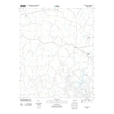 2010 Enochville2010 Print · USGSNorth of Kannapolis in the early twenty-first century, this area shows a suburbanizing landscape shaped by historic family lands and vital waterways. Researchers can trace the development of Enochville and Five Points or locate landmarks like Miller Airport and Kannapolis Lake.
 - 2010 Map of Midland, 2010 Print
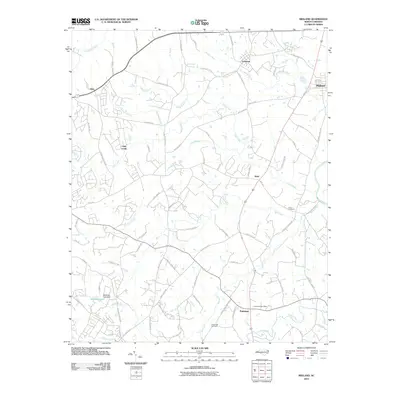 2010 Midland2010 Print · USGSNorth Carolina's Piedmont region near the Cabarrus-Mecklenburg line is shown here at the turn of the twenty-first century. Genealogists and local historians can trace family-named landmarks and old church sites like Union Cemetery, Cockburns Post Office, and the settlement of Brief.
 - 2010 Map of Kannapolis, 2010 Print
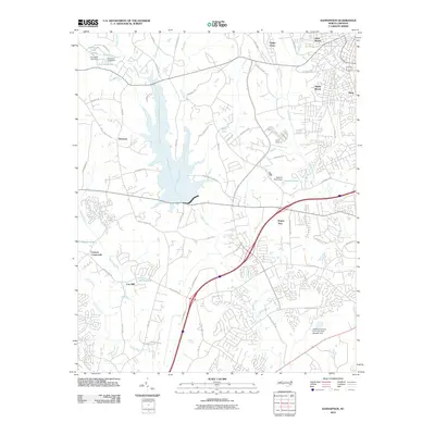 2010 Kannapolis2010 Print · USGSIn the decade before rapid suburban expansion, this area west of Kannapolis still retained its distinct community identities and creek-fed landscapes. Genealogists and local historians can trace the foundations of Poplar Tent, Cox Mill, and Cannon Crossroads as they appeared before recent development.
 - 2010 Map of China Grove, 2010 Print
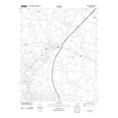 2010 China Grove2010 Print · USGSThe corridor between China Grove and Landis is captured here during a period of steady North Carolina growth. Researchers can trace family sites near Green Lawn Cemetery, explore the terrain around Mount Girl- Bradley Field, or locate the historic China Grove Airport.
 - 2010 Map of Rockwell, 2010 Print
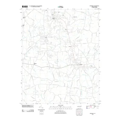 2010 Rockwell2010 Print · USGSRowan County at the turn of the 21st century reveals a landscape of established quarry towns and quiet rural communities. Genealogists and historians can trace family roots through Antioch Cemetery, the historic Old Stone House, and the namesake village of Rockwell.
 - 2010 Map of Stanfield, 2010 Print
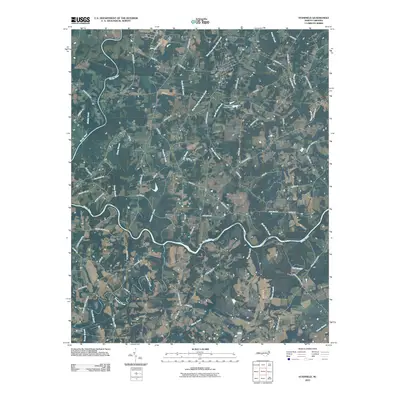 2010 Stanfield2010 Print · USGSCovers Cabarrus County, including Fairview, Midland, and other nearby areas
 - 2010 Map of Mount Pleasant, 2010 Print
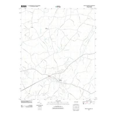 2010 Mount Pleasant2010 Print · USGSThe area surrounding Mount Pleasant in the early twenty-first century reveals a landscape shaped by colonial-era creek names and rural crossroads. Genealogists and researchers can trace family lands near Watts Crossroads, Rimer, and along the banks of Dutch Buffalo Creek.
 - 2010 Map of Concord SE, 2010 Print
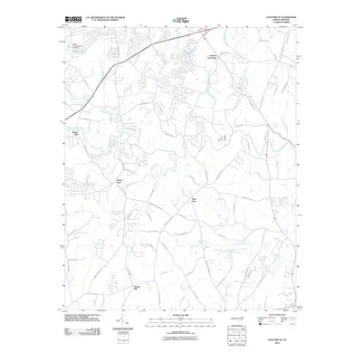 2010 Concord SE2010 Print · USGSCabarrus County's rural transitions are visible here in the early twenty-first century, where historic mill sites and family-named crossroads still define the landscape. Researchers can trace the heritage of Pharrs Mill, Pioneer Mills, and the Jackson Training School.
 - 2011 Map of Gold Hill, 2011 Print
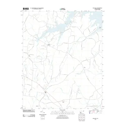 2011 Gold Hill2011 Print · USGSRowan County at the start of the 2010s remains a landscape of quiet creek valleys and long-standing rural communities. Genealogists can trace family footprints through sites like Saint Peters Cemetery, Morgan Cemetery, and the historic village of Gold Hill.
 - 2013 Map of Locust, 2013 Print
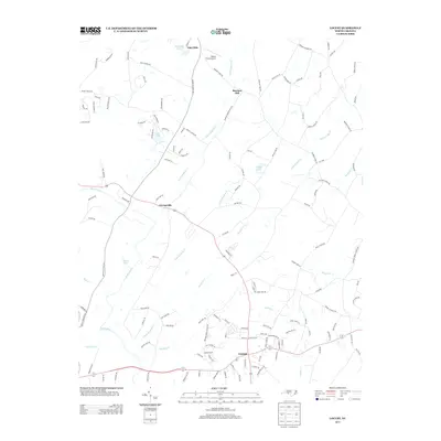 2013 Locust2013 Print · USGSThe rural landscapes of North Carolina meet modern residential growth in this survey of the area around Locust and Georgeville. Genealogists and historians can trace local landmarks like Barriers Mill, Willow Creek Airport, and the winding Rocky River.
 - 2013 Map of Rockwell, 2013 Print
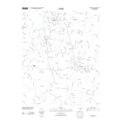 2013 Rockwell2013 Print · USGSRowan County at the start of the 2010s shows a landscape of growing communities and deep-rooted industrial sites. Researchers can trace the layout of Granite Quarry, locate the Old Stone House, and find family-named landmarks along Second Creek and Shupings Mill.
 - 2013 Map of Midland, 2013 Print
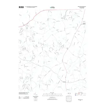 2013 Midland2013 Print · USGSMidland and the surrounding Piedmont communities appear here during their modern transition from rural farmland to residential suburbs. Local researchers can trace old family footprints along Biggers Cemetary Rd, explore the waterways of Goose Cr, and locate early centers like Brief and Allen.
 - 2013 Map of Richfield, 2013 Print
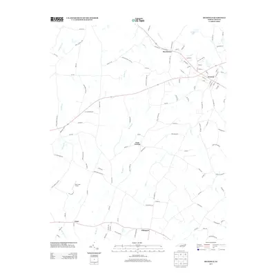 2013 Richfield2013 Print · USGSStanly County at the start of the 2010s reveals a quiet landscape of crossroad settlements and rural airfields. Researchers can trace family-named routes and small communities like Misenheimer, Finger, and Pauls Crossing while locating landmarks like Ritchies Lake.
 - 2013 Map of Cornelius, 2013 Print
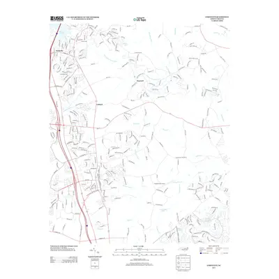 2013 Cornelius2013 Print · USGSMecklenburg County is shown in a period of significant suburban expansion during the early twenty-first century. Genealogists and local historians can trace the development of Smithville, Hopewell, and Caldwell alongside landmarks like Bradford Field Airport and Lake Norman.
Showing maps 1-25 of 84
Top cities of Cabarrus County
- Concord historical maps
- Kannapolis historical maps
- Harrisburg historical maps
- Midland historical maps
- Mount Pleasant historical maps
Frequently asked questions
- What are the different types of historical maps available for Cabarrus County?
- What is the oldest map of Cabarrus County?
- Where can I purchase historical maps of Cabarrus County for my home or office?
- Where can I download high-res historical maps of Cabarrus County?
- Are there historical topographic maps available for Cabarrus County?
- Is there historical aerial imagery available for Cabarrus County?
- Where are historical maps of Cabarrus County sourced from?