2020s Maps of Craven County, North Carolina
Explore 25 historic maps of Craven County from the 2020s. These maps offer a rare glimpse into what life looked like during the 2020s — showing old roads, neighborhoods, homes, and landmarks that have changed or disappeared over time.
Whether you're researching your family's past, planning a metal detecting trip, or studying how Craven County's landscape evolved across the 2020s, these high-resolution maps are a powerful tool for exploring the history of this region.
- Focus on a specific era: All maps on this page are from the 2020s, giving you a focused view of this time period.
- See what’s changed: Compare century-old streets, trails, and buildings to today's modern landscape using overlays and satellite layers.
- Research with precision: Use these maps for genealogy, historical research, land use analysis, or educational projects.
- View, download, or print: Maps are fully viewable online in high resolution, and can be downloaded or printed for your own records.
Start exploring Craven County's history through authentic maps from the 2020s. This is your window into the past.
Craven County, NC maps
(25)- 2022 Map of Masontown, 2022 Print
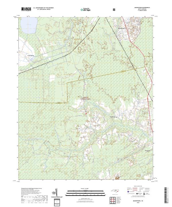 2022 Masontown2022 Print · USGSThe coastal wetlands and managed forests between Havelock and Newport are documented here in the early 2020s. Genealogists and local historians can trace the rural tracts along Bell-Farm Rd, the edges of Croatan National Forest, and landmarks like Circle P Farm Airport.
 - 2022 Map of Vanceboro, 2022 Print
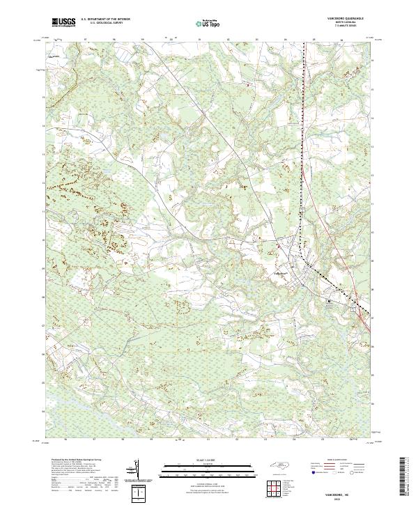 2022 Vanceboro2022 Print · USGSVanceboro and its surrounding coastal plain wetlands are captured here in the early twenty-first century. Genealogists and local historians can trace family land and rural road networks near Clayroot, Celestial Memorial Gardens, and the banks of Swift Creek.
 - 2022 Map of Fort Barnwell, 2022 Print
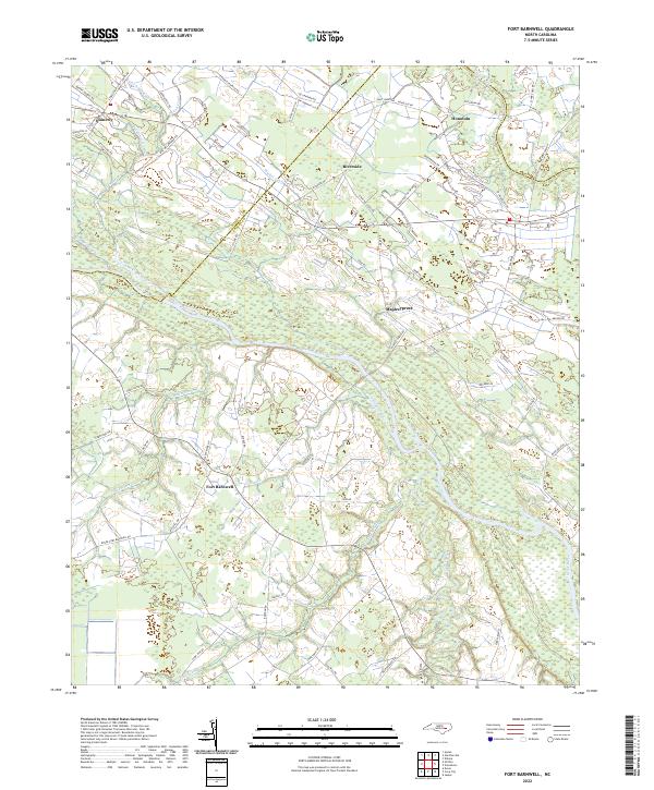 2022 Fort Barnwell2022 Print · USGSThe eastern North Carolina coastal plain near the Neuse River comes into focus in this recent survey of Craven and Pitt Counties. Researchers can trace the sophisticated drainage networks of the Saint Johns Canal and Shiloh Canal near settlements like Fort Barnwell and Honolulu.
 - 2022 Map of Ernul, 2022 Print
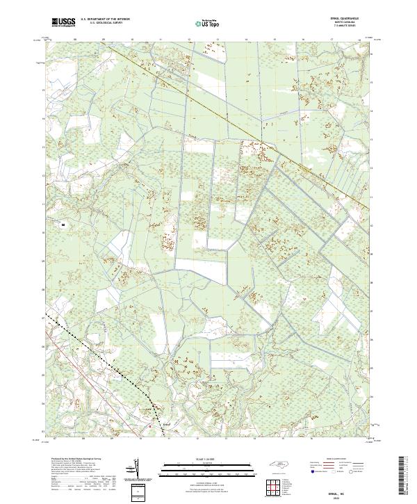 2022 Ernul2022 Print · USGSThe coastal wetlands of Craven County are revealed in detail here during the early 2020s, dominated by the expanse of the Big Pocosin. Researchers can trace local heritage along the swamp margins at Ernul, Willis Lndg, and Spruill Town Rd.
 - 2022 Map of Trenton, 2022 Print
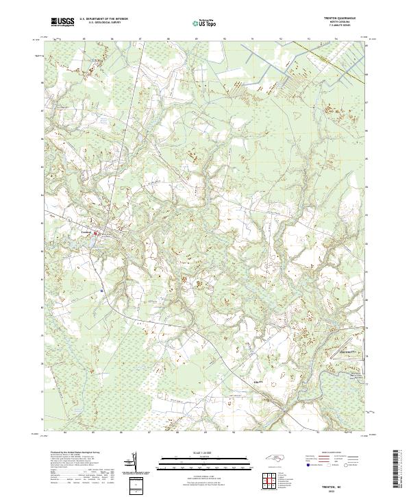 2022 Trenton2022 Print · USGSThe Jones County seat of Trenton is shown here along the Trent River during the early 2020s. Genealogists and historians can trace the rural layout of Olivers, locate the Jones County Courthouse, and survey the edges of the White Oak Pocosin.
 - 2022 Map of Catfish Lake, 2022 Print
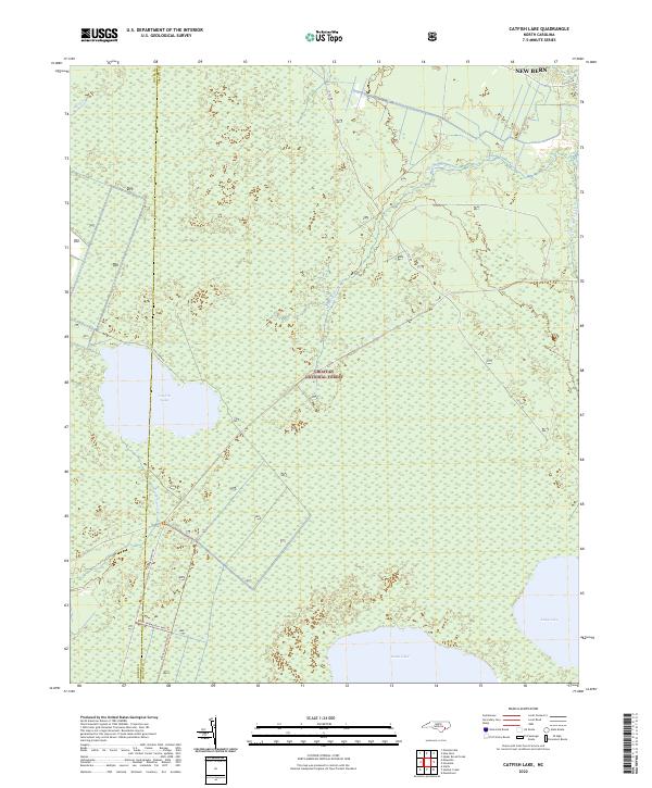 2022 Catfish Lake2022 Print · USGSThe coastal wetlands of Craven County are preserved here in the early twenty-first century, showcasing a landscape of vast pocosin lakes and swamps. Map collectors and outdoorsmen can trace the routes of the Black Swamp Ohv Trl and locate Catfish Lake and Great Lake.
 - 2022 Map of Hadnot Creek, 2022 Print
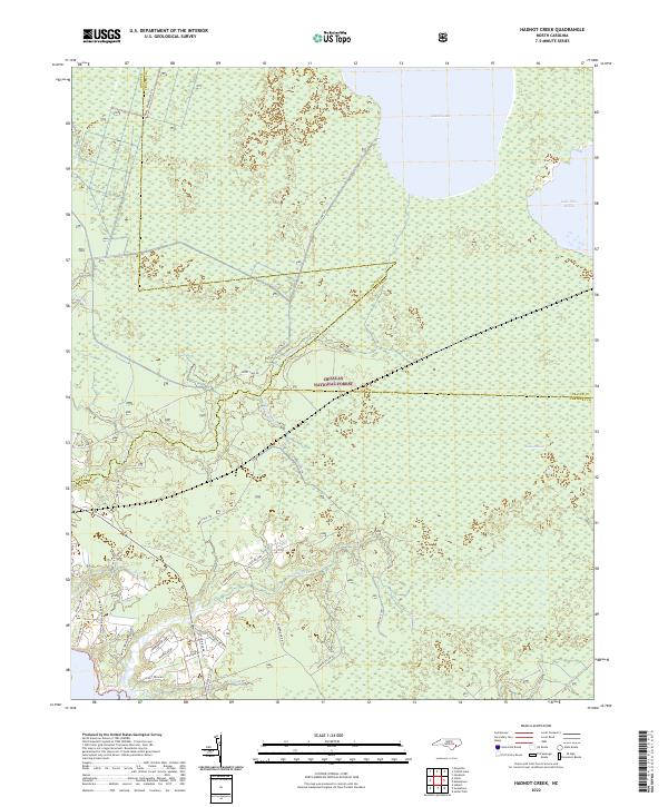 2022 Hadnot Creek2022 Print · USGSCoastal Carteret County meets the vast woods of the Croatan National Forest in this modern survey of the North Carolina tidewater. Researchers can trace rural property access along Hadnot Farm Rd or explore the wilderness boundaries near Great Lake and Lakes Pocosin.
 - 2022 Map of Core Creek, 2022 Print
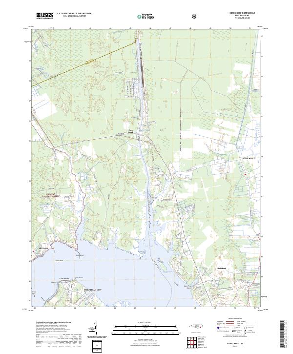 2022 Core Creek2022 Print · USGSCoastal Carteret County is mapped here during a period of modern residential growth alongside protected wilderness and vital maritime channels. Genealogists and researchers can locate landmarks like Hardesty Cemetery Rd and maritime settlements including Crab Point Village and Mill Creek.
 - 2022 Map of Havelock, 2022 Print
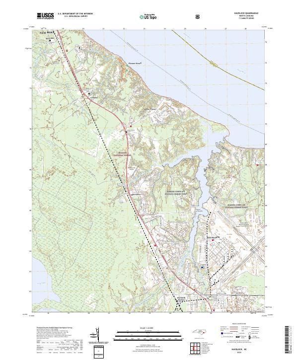 2022 Havelock2022 Print · USGSCoastal North Carolina at the modern era shows the massive footprint of the Marine Corps Air Station and the protected Croatan National Forest. Local researchers can trace family sites like the Rowe Family Cem or find the Havelock Station rail corridor.
 - 2022 Map of Merrimon, 2022 Print
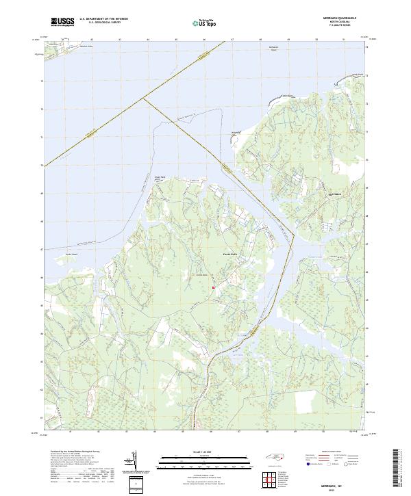 2022 Merrimon2022 Print · USGSCoastal Craven County at the start of the 2020s shows a landscape of deep-water access and marshland peninsulas. Trace the intersection of the Intracoastal Waterway and Adams Creek or explore the residential lanes around Merrimon and Great Neck.
 - 2022 Map of Newport, 2022 Print
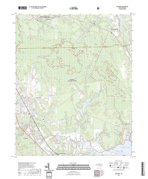 2022 Newport2022 Print · USGSThe coastal wetlands of Carteret and Craven Counties are captured here in the early 2020s, showing the intersection of military and maritime life. Trace family roots at Cedar Grove Cem or follow the historic Harlowe Canal toward the Atlantic Ocean.
 - 2022 Map of Cherry Point, 2022 Print
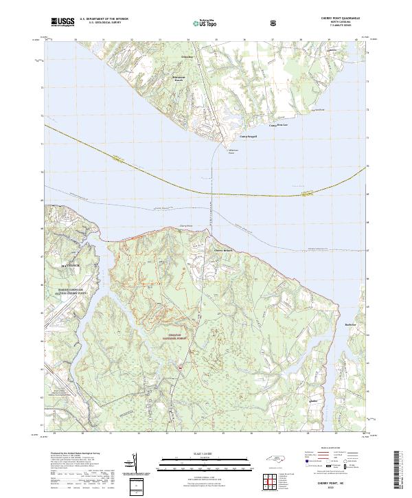 2022 Cherry Point2022 Print · USGSThe Craven County coastline and its military legacy are in clear focus during the early 2020s. Researchers can trace the massive footprint of Marine Corps Air Station Cherry Point or explore the trails of the Croatan National Forest.
 - 2022 Map of Edward, 2022 Print
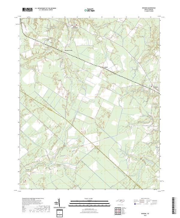 2022 Edward2022 Print · USGSThis modern survey captures the rural landscape of eastern North Carolina where Beaufort, Craven, and Pamlico Counties meet. Trace local heritage through settlements like Edward and Stilley and waterways including Poundpole Swamp Br and Durham Cr.
 - 2022 Map of Hackney, 2022 Print
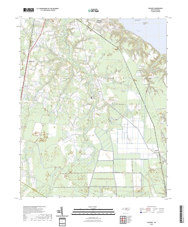 2022 Hackney2022 Print · USGSEastern North Carolina wetlands and waterfront settlements appear in this recent survey of Beaufort County. Genealogists and historians can trace family land near Edwards Cem or follow the legacy of drainage at Sheppard Run Canal and Rover.
 - 2022 Map of Cove City, 2022 Print
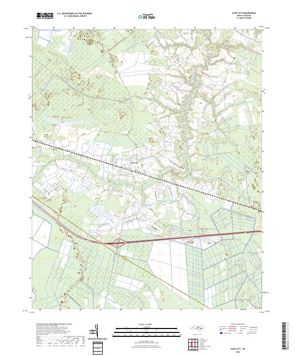 2022 Cove City2022 Print · USGSCoastal plain agriculture and wetlands define the landscape around Cove City in the early 2020s. Researchers can trace family-named landmarks like McCoy Cemetary Rd and Ipock Loop Rd or follow the limits of the Great Dover Swamp.
 - 2022 Map of Upper Broad Creek, 2022 Print
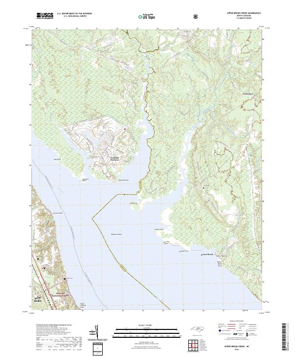 2022 Upper Broad Creek2022 Print · USGSThe coastal marshes and planned waterways of Pamlico and Craven Counties are captured here in the early 2020s. Genealogists can locate family landmarks like the Conner Family Cem while boaters trace the shoreline from Fairfield Harbour to Kennel Beach.
 - 2022 Map of Gardnerville, 2022 Print
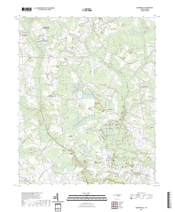 2022 Gardnerville2022 Print · USGSPitt County at the start of the 2020s shows a landscape of interconnected rural crossroads and coastal plain drainage. Researchers can trace family history through locations like Haddocks Crossroads and Shelmerdine or find land-use patterns near Swift Creek.
 - 2022 Map of Grifton, 2022 Print
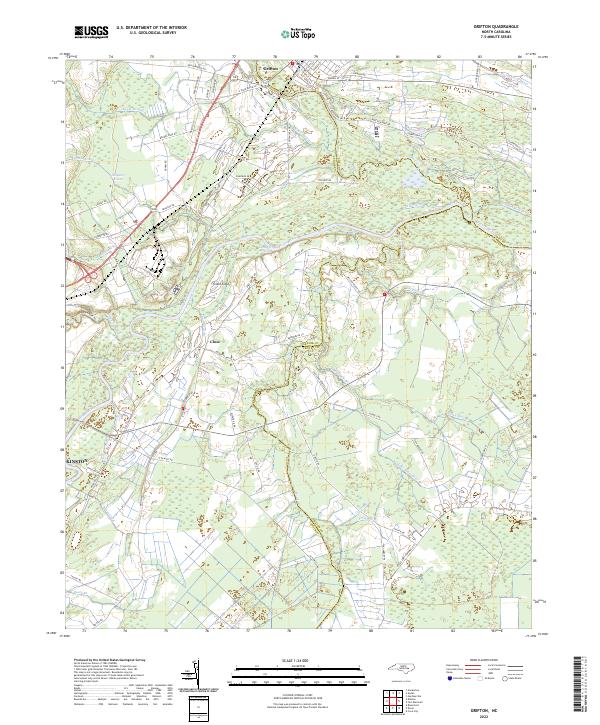 2022 Grifton2022 Print · USGSCoastal plain hydrology and rural settlement patterns are visible in this 2020s study of the area between Grifton and Kinston. Genealogists and historians can trace family-named roads like Daughety White Rd and old waterworks including Rhem Canal and Buckleberry Canal.
 - 2022 Map of Wilmar, 2022 Print
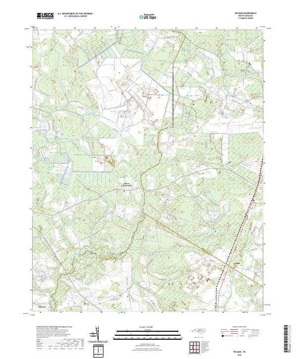 2022 Wilmar2022 Print · USGSCoastal Plain wetlands and rural settlements define this Pitt and Beaufort County border area in the early 2020s. Researchers can trace the layout of small communities like Elmira Crossroads and Wilmar alongside major natural features like Creeping Swamp.
 - 2022 Map of Dover, 2022 Print
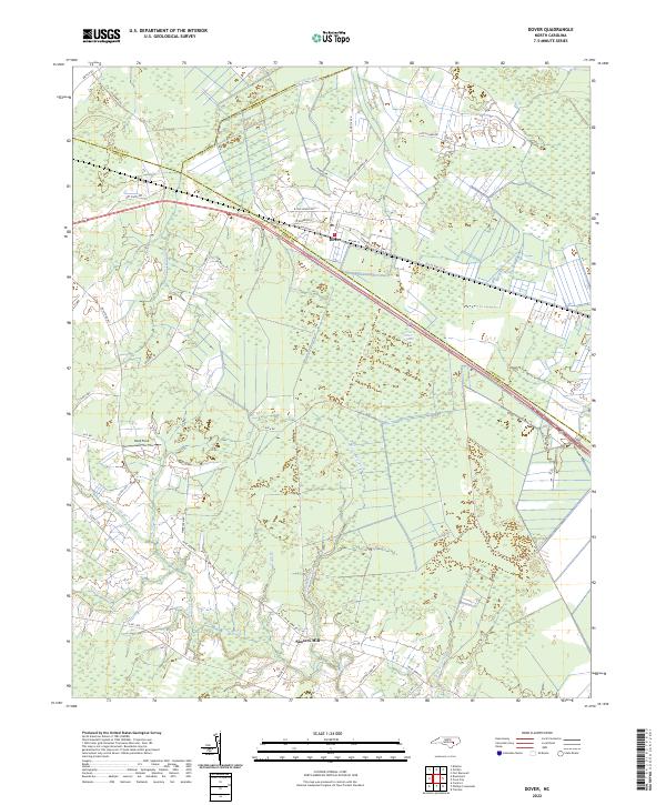 2022 Dover2022 Print · USGSThe rural landscapes of Craven and Jones Counties come into focus in this contemporary study of eastern North Carolina. Genealogists and local historians can trace the roads around Dover and identify family sites near Sassers Mill or Hood Field.
 - 2022 Map of Jasper, 2022 Print
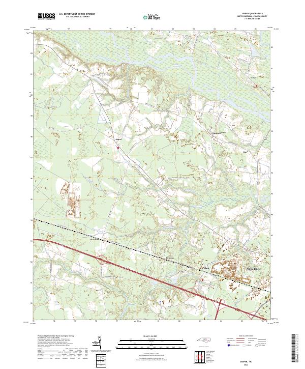 2022 Jasper2022 Print · USGSCoastal plain settlements in Craven County come into focus during the early 2020s as modern transit routes intersect traditional farmland. Genealogists can trace family footprints near Jasper and Tuscarora, or explore the waterways of the Neuse River and Great Dover Swamp.
 - 2022 Map of Reelsboro, 2022 Print
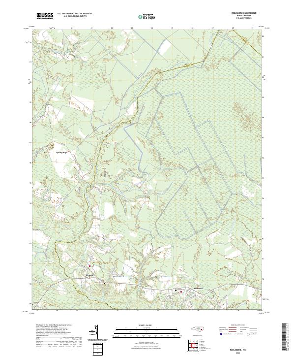 2022 Reelsboro2022 Print · USGSThe wetlands of Pamlico County come into focus in the early 2020s, revealing a landscape defined by expansive swamps and rural crossroads. Local researchers can locate family sites at Hollywood Cem and Sand Hill Cem or trace the drainage of Upper Broad Creek.
 - 2022 Map of Askin, 2022 Print
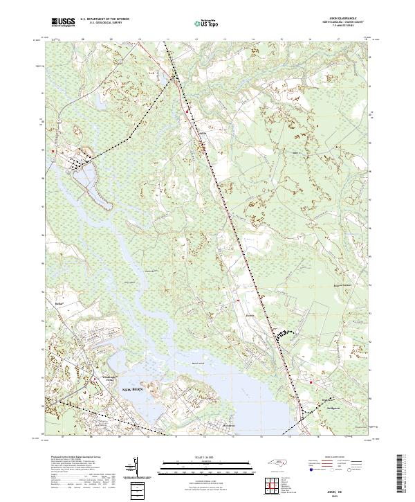 2022 Askin2022 Print · USGSCoastal North Carolina's lowlands come into focus in the early 2020s as the riverfront expands near the state's former colonial capital. Genealogists and local historians can trace the developments at Washington Forks and Bridgeton, or locate the Bridgeton Cem and the residential clusters at Gatlin Beach.
 - 2022 Map of New Bern, 2022 Print
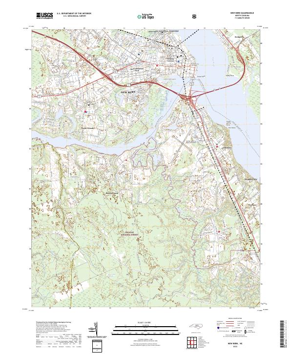 2022 New Bern2022 Print · USGSIn the early 2020s, the historic riverport of New Bern remains a bustling hub at the meeting of the Neuse River and Trent River. Genealogists and historians can locate the New Bern National Cemetery and landmarks like the Craven County Courthouse or Union Point.
 - 2022 Map of Pollocksville, 2022 Print
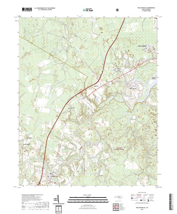 2022 Pollocksville2022 Print · USGSCoastal North Carolina's riverine landscape comes to life in this survey of the communities south of New Bern. Genealogists and researchers can trace the roads around Pollocksville, locate the Pollocksville Cem, and explore the edges of the Croatan National Forest.
End of results
Showing maps 1-25 of 25
Top cities of Craven County
- New Bern historical maps
- Havelock historical maps
- James City historical maps
- Trent Woods historical maps
- Brices Creek historical maps
- River Bend historical maps
See more
Frequently asked questions
- What are the different types of historical maps available for Craven County?
- What is the oldest map of Craven County?
- Where can I purchase historical maps of Craven County for my home or office?
- Where can I download high-res historical maps of Craven County?
- Are there historical topographic maps available for Craven County?
- Is there historical aerial imagery available for Craven County?
- Where are historical maps of Craven County sourced from?