2000s (21st Century) Maps of Currituck County, North Carolina
Explore 90 historic maps of Currituck County from the 2000s (21st Century). These maps offer a rare glimpse into what life looked like during the 2000s — showing old roads, neighborhoods, homes, and landmarks that have changed or disappeared over time.
Whether you're researching your family's past, planning a metal detecting trip, or studying how Currituck County's landscape evolved across the 2000s, these high-resolution maps are a powerful tool for exploring the history of this region.
- Focus on a specific era: All maps on this page are from the 2000s, giving you a focused view of this time period.
- See what’s changed: Compare century-old streets, trails, and buildings to today's modern landscape using overlays and satellite layers.
- Research with precision: Use these maps for genealogy, historical research, land use analysis, or educational projects.
- View, download, or print: Maps are fully viewable online in high resolution, and can be downloaded or printed for your own records.
Start exploring Currituck County's history through authentic maps from the 2000s. This is your window into the past.
Currituck County, NC maps
(90)- 2010 Map of Elizabeth City, 2010 Print
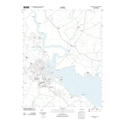 2010 Elizabeth City2010 Print · USGSCoastal North Carolina comes into focus here at the start of the 2010s, centering on the riverfront development of Elizabeth City and Camden. Genealogists and local historians can trace the grounds of Hollywood Cemetery or the expansive campus of Elizabeth City State University.
 - 2010 Map of Currituck, 2010 Print
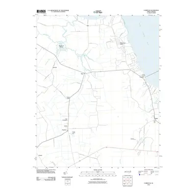 2010 Currituck2010 Print · USGSCoastal North Carolina's rural lowlands are captured here in the years before the modern era, showing the established communities of Currituck County. Genealogists and local historians can trace family-named routes like Poyners Rd and locate key hubs like the Shawboro Post Office and Sligo.
 - 2010 Map of Shiloh, 2010 Print
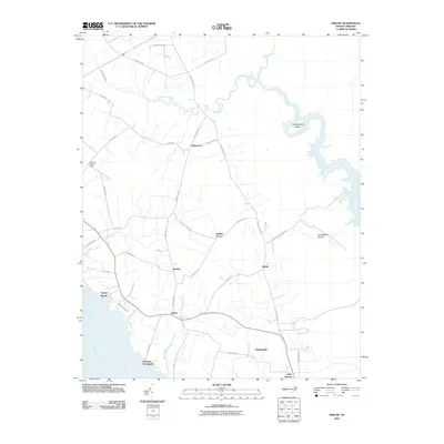 2010 Shiloh2010 Print · USGSCamden County's coastal peninsula and its network of inland canals are shown here as they appeared in the early twenty-first century. Genealogists and local historians can trace family locations near Shiloh, Philadelphia, and the wetlands surrounding Thoroughfare Island.
 - 2010 Map of Mossey Islands, 2010 Print
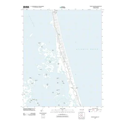 2010 Mossey Islands2010 Print · USGSThe North Carolina Outer Banks are captured here during a period of coastal growth near the turn of the decade. Researchers can trace land use from the Currituck Light down to remote landmarks like Gaffey Landing and Peters Quarter.
 - 2010 Map of Martin Point, 2010 Print
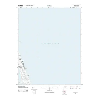 2010 Martin Point2010 Print · USGSThe Outer Banks shoreline appears in its modern developed state during the early twenty-first century. Researchers can trace the layout of coastal neighborhoods like Southern Shores, Poteskeet Village, and Martin Point along the Atlantic coast.
 - 2010 Map of South Mills, 2010 Print
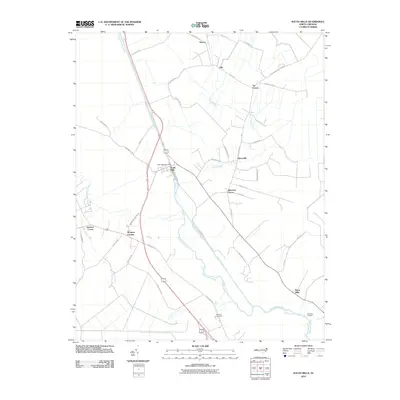 2010 South Mills2010 Print · USGSCamden County's landscape is defined by the historic Dismal Swamp Canal and the meandering Pasquotank River in the early twenty-first century. Genealogists and local historians can trace the placement of rural hubs like South Mills, Burnt Mills, and Pierceville.
 - 2010 Map of Point Harbor, 2010 Print
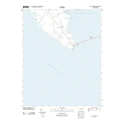 2010 Point Harbor2010 Print · USGSThe Currituck County peninsula at the opening of the twenty-first century is shown here where the mainland meets the Outer Banks. Genealogists and local historians can trace family-named areas like Sawyers Lodge and landings including Hog Quarter Landing near the community of Spot.
 - 2010 Map of Camden Point, 2010 Print
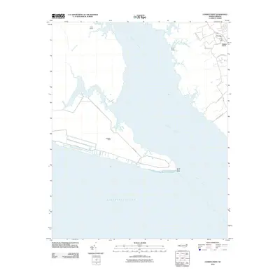 2010 Camden Point2010 Print · USGSCoastal Currituck County is captured here in the early twenty-first century, showing the established waterfront communities near the Albemarle Sound. Genealogists can locate family sites near Grandy, Walnut Island, and the landings along the North River.
 - 2010 Map of Coinjock, 2010 Print
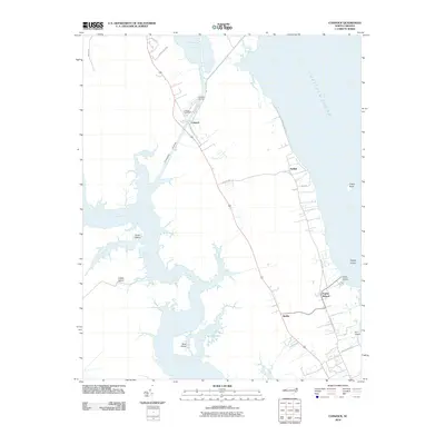 2010 Coinjock2010 Print · USGSCoastal Currituck County comes into focus in this early 21st-century study of the Outer Banks' mainland. Local historians can trace the maritime hubs of Coinjock and Aydlett, locating landmarks like the Midway Marina and the Poplar Branch Landing.
 - 2010 Map of Jarvisburg, 2010 Print
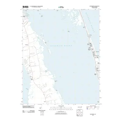 2010 Jarvisburg2010 Print · USGSThe North Carolina coast at the start of the decade shows a distinct divide between mainland landings and barrier island growth. Genealogists and historians can trace family-named sites like Waltons Landing and Gallop Landing or the development of Duck and Jarvisburg.
 - 2010 Map of Corolla, 2010 Print
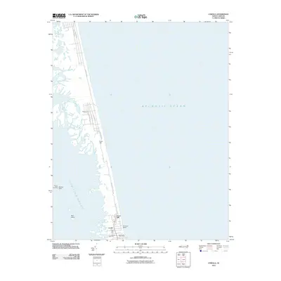 2010 Corolla2010 Print · USGSThe Outer Banks village of Corolla is shown here just as the modern vacation era reached its peak. Researchers can trace the layout of coastal developments like Ocean Hills alongside maritime landmarks such as the Currituck Beach Lighthouse.
 - 2010 Map of Barco, 2010 Print
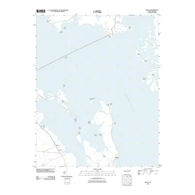 2010 Barco2010 Print · USGSCurrituck Sound and its marshy islands are captured here in the early twenty-first century, showing a landscape shaped by coastal geography. Researchers can trace local landmarks like Knotts Landing and the Knotts Island Ferry, or locate the Barco Post Office.
 - 2010 Map of Knotts Island OE E, 2010 Print
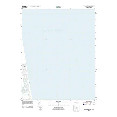 2010 Knotts Island OE E2010 Print · USGSThe northern reaches of the Outer Banks are captured here at the turn of the decade, showing the unique isolated settlement at the Virginia border. Genealogists and coastal researchers can trace the layout of Carova and the terrain of Sand Ridge along the coast.
 - 2010 Map of Lambs Corner, 2010 Print
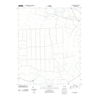 2010 Lambs Corner2010 Print · USGSCurrituck County's coastal plain is captured here in the early twenty-first century, showcasing a landscape shaped by intricate water management. Researchers can trace the development of small communities like Lambs Corner and Guinea while exploring an extensive network of drainage channels such as Lateral A Canal and Guinea Mill Run Canal.
 - 2010 Map of Knotts Island, 2010 Print
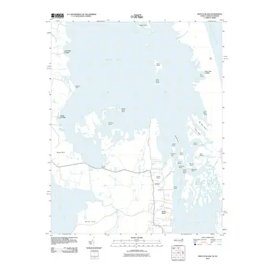 2010 Knotts Island2010 Print · USGSKnotts Island and the Currituck Sound marshes are captured in the early twenty-first century as a labyrinth of islands and landings. Trace local family geography and coastal access points from Knotts Island Post Office to Campbells Landing and Corys.
 - 2011 Map of Creeds, 2011 Print
 2011 Creeds2011 Print · USGSCoastal Virginia and North Carolina appear in this early 21st-century record of the marshlands near the North Landing River. Researchers can trace local lineage at Oak Grove Cemetery or explore the historic riverfronts at Pungo Ferry and Munden Point.
 - 2011 Map of Moyock, 2011 Print
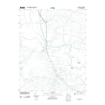 2011 Moyock2011 Print · USGSCoastal North Carolina and Virginia meet here in the early twenty-first century, where crossroads communities sit among winding river marshes. Genealogists can trace family roots through the Northwest Cemetery, Moyock Cemetery, and the old Northwest Post Office.
 - 2011 Map of Lake Drummond SE, 2011 Print
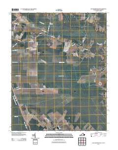 2011 Lake Drummond SE2011 Print · USGSCoastal wetlands on the North Carolina and Virginia border are shown here just after the turn of the millennium. Researchers can trace the engineering of the Dismal Swamp Canal and local landmarks like Smith Ridge or Culpeper Island.
 - 2013 Map of Mossey Islands, 2013 Print
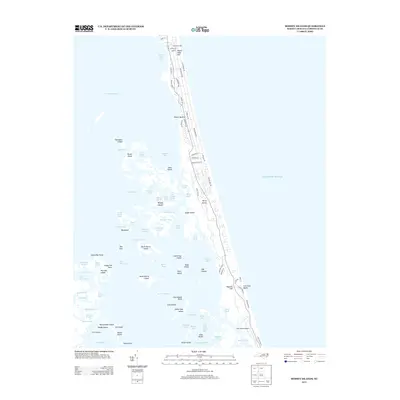 2013 Mossey Islands2013 Print · USGSThe northern Outer Banks are captured here just after the turn of the millennium, showing the interplay between expanding coastal developments and the sound side's wild marsh. Trace the history of the barrier island from the Currituck Light south through Peters Quarter to the isolated Mossey Islands.
 - 2013 Map of Jarvisburg, 2013 Print
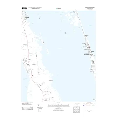 2013 Jarvisburg2013 Print · USGSThe Outer Banks and Currituck Sound meet in this coastal study during the early twenty-first century. Genealogists and local historians can trace mainland landings like Poplar Branch Landing and Gallop Landing alongside the evolving beach communities of Duck and Sanderling.
 - 2013 Map of South Mills, 2013 Print
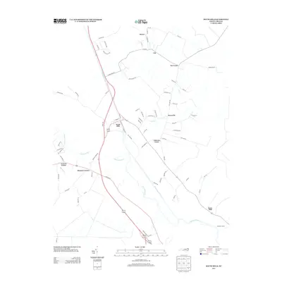 2013 South Mills2013 Print · USGSCamden County's landscape is defined by the historic waterway of the Dismal Swamp Canal in this modern-day survey. Researchers can trace the local road networks and family-named locales like Morgans Corners, South Mills, and Burnt Mills.
 - 2013 Map of Elizabeth City, 2013 Print
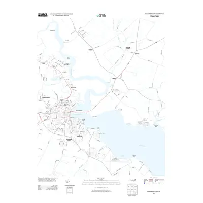 2013 Elizabeth City2013 Print · USGSCoastal North Carolina's riverfront life is on full display in this survey of the river as it appeared in the early 2010s. Trace the neighborhoods of Elizabeth City and the sprawling Coast Guard Air Station or explore the rural crossings near Camden and Belcross.
 - 2013 Map of Currituck, 2013 Print
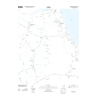 2013 Currituck2013 Print · USGSCoastal Currituck County comes into focus in this early twenty-first-century survey of the North Carolina tidewater. Trace the growth of communities like Shawboro and Sligo, or locate family sites near Corner Gum and Currituck.
 - 2013 Map of Lambs Corner, 2013 Print
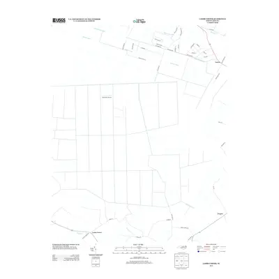 2013 Lambs Corner2013 Print · USGSCoastal North Carolina at the start of the 2010s reveals a landscape meticulously managed by historic drainage networks and rural settlements. Researchers can trace the layout of Lambs Corner, the Blackwater Airstrip, and the path of the Guinea Mill Run Canal.
 - 2013 Map of Shiloh, 2013 Print
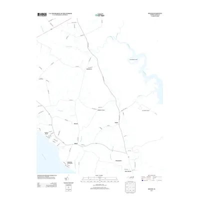 2013 Shiloh2013 Print · USGSCamden County's river-bound landscape is captured here in the early twenty-first century, showing a region deeply tied to its canals and coastal plains. Researchers can trace the layout of waterfront communities like Elizabeth City Beach and inland crossroads such as Indiantown and Shiloh.
Showing maps 1-25 of 90
Top cities of Currituck County
Frequently asked questions
- What are the different types of historical maps available for Currituck County?
- What is the oldest map of Currituck County?
- Where can I purchase historical maps of Currituck County for my home or office?
- Where can I download high-res historical maps of Currituck County?
- Are there historical topographic maps available for Currituck County?
- Is there historical aerial imagery available for Currituck County?
- Where are historical maps of Currituck County sourced from?