2020s Maps of Dare County, North Carolina
Explore 33 historic maps of Dare County from the 2020s. These maps offer a rare glimpse into what life looked like during the 2020s — showing old roads, neighborhoods, homes, and landmarks that have changed or disappeared over time.
Whether you're researching your family's past, planning a metal detecting trip, or studying how Dare County's landscape evolved across the 2020s, these high-resolution maps are a powerful tool for exploring the history of this region.
- Focus on a specific era: All maps on this page are from the 2020s, giving you a focused view of this time period.
- See what’s changed: Compare century-old streets, trails, and buildings to today's modern landscape using overlays and satellite layers.
- Research with precision: Use these maps for genealogy, historical research, land use analysis, or educational projects.
- View, download, or print: Maps are fully viewable online in high resolution, and can be downloaded or printed for your own records.
Start exploring Dare County's history through authentic maps from the 2020s. This is your window into the past.
Dare County, NC maps
(33)- 2022 Map of Stumpy Point, 2022 Print
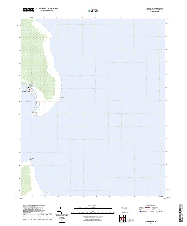 2022 Stumpy Point2022 Print · USGSThe village of Stumpy Point is seen here in the early twenty-first century, perched on the western edge of the Pamlico Sound. Genealogists and local historians can locate the Shiloh Methodist Church and its Cem while tracing the wetland shoreline from Old Point to Sandy Point.
 - 2022 Map of Little Kinnakeet, 2022 Print
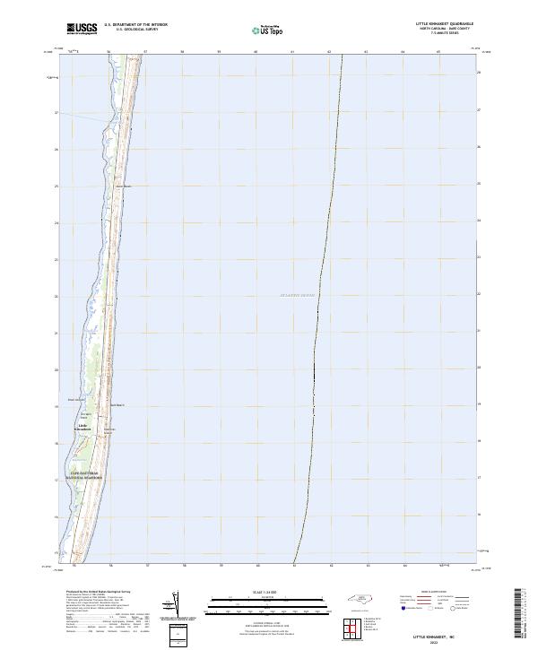 2022 Little Kinnakeet2022 Print · USGSHatteras Island and the windswept Outer Banks appear in modern detail as they stood early in the third millennium. Researchers can trace the sound-side geography of Little Kinnakeet and coastal landmarks like Terrapin Point and Bog Opening.
 - 2022 Map of Wanchese, 2022 Print
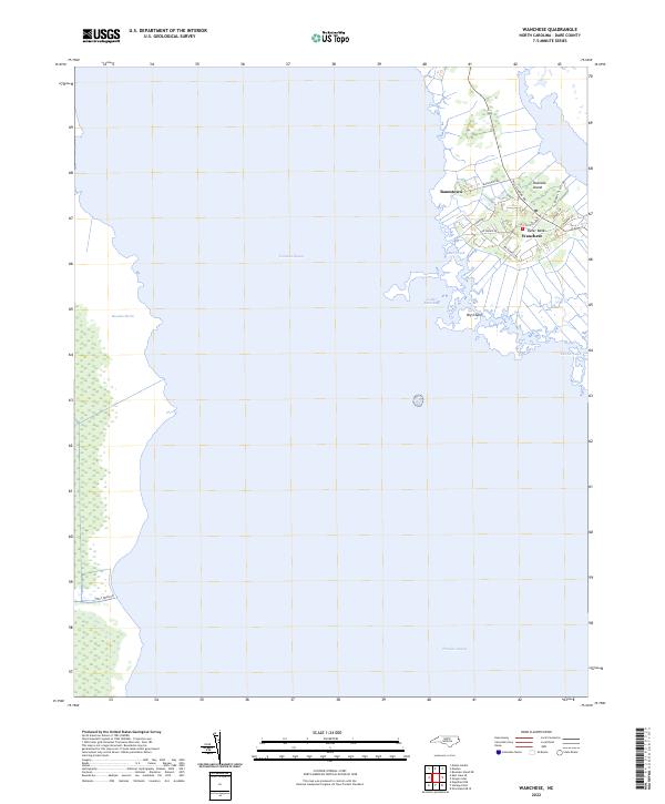 2022 Wanchese2022 Print · USGSCoastal Dare County at the start of the 2020s shows the enduring maritime character of southern Roanoke Island. Researchers can trace local lineage through family-named routes like Rondal Tillett Rd or explore the waterfronts of Wanchese and Baumtown.
 - 2022 Map of Oregon Inlet, 2022 Print
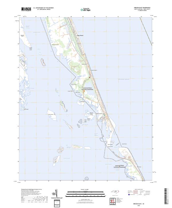 2022 Oregon Inlet2022 Print · USGSThe Outer Banks come alive in this recent survey of the fragile barrier islands where the sound and sea meet. Trace the path of the Herbert C. Bonner Bridge over the shifting waters of Oregon Inlet and explore the protected reaches of Bodie Island and Pea Island.
 - 2022 Map of Hatteras, 2022 Print
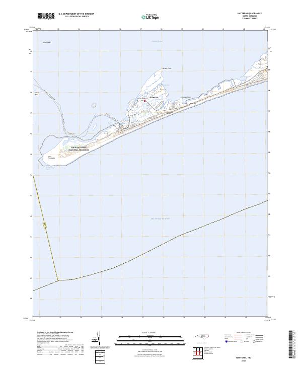 2022 Hatteras2022 Print · USGSThe southern tip of the Outer Banks comes into focus during the early 2020s, showing the intersection of coastal preservation and maritime life. Trace the ferry route across Austin Reef or explore the residential landscape of Hatteras near The Slash.
 - 2022 Map of Long Shoal Point OE E, 2022 Print
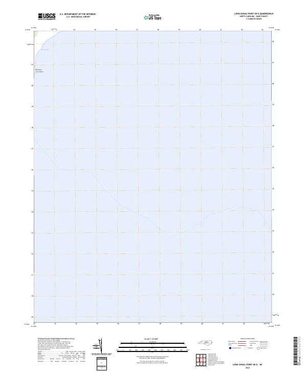 2022 Long Shoal Point OE E2022 Print · USGSThe coastal waters of the Pamlico Sound come into focus in this recent survey of the North Carolina coast. Researchers of maritime geography can trace the distinct shoreline at Parched Corn Point and the sheltered waters of Sandy Bay.
 - 2022 Map of Long Shoal Point, 2022 Print
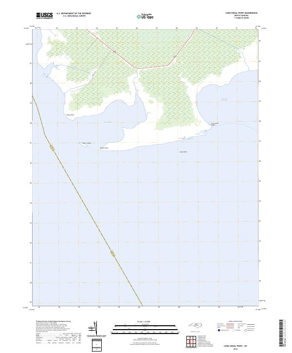 2022 Long Shoal Point2022 Print · USGSCoastal Dare and Hyde counties appear here as a land of tide and marsh in the early 2020s. Researchers can trace the watery county line through Pains Bay and locate local landmarks like Rawls Island, Parched Corn Bay, and Long Shoal Point.
 - 2022 Map of Hatteras OE N, 2022 Print
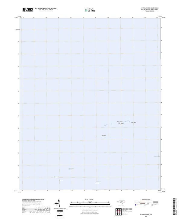 2022 Hatteras OE N2022 Print · USGSCoastal Dare County is recorded here in the early 2020s, showing the shifting sands and navigation routes of the Pamlico Sound. Maritime historians can trace the paths of Rawlinsons Channel and Old Rollinson Channel past landmarks like Clam Shoal and Birds Island.
 - 2022 Map of East Lake, 2022 Print
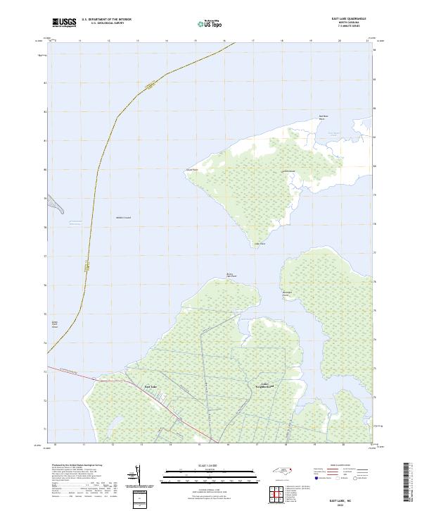 2022 East Lake2022 Print · USGSThe Dare County coastline comes into focus in this recent survey of the settlements near the Intracoastal Waterway. Genealogists and locals can trace the roads of the Lake Neighborhood and find landmarks like Durant Island and Tom Mann Creek.
 - 2022 Map of Buxton OE E, 2022 Print
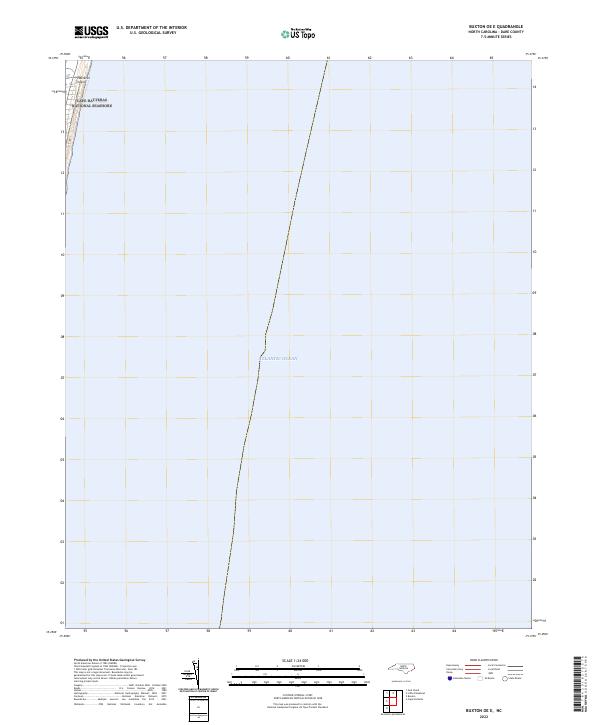 2022 Buxton OE E2022 Print · USGSThe North Carolina Outer Banks meet the sea in this recent coastal survey, where the barrier island faces the open Atlantic Ocean. Researchers can trace the protected boundaries of the Cape Hatteras National Seashore along the sands of Hatteras Island.
 - 2022 Map of Green Island, 2022 Print
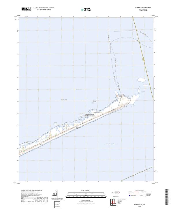 2022 Green Island2022 Print · USGSThe Outer Banks come alive in this recent coastal survey of Ocracoke Island and its surrounding sound waters. Researchers can trace the vital maritime transit routes of the Halteras - Ocracoke Ferry and locate distinctive landmarks like Styron Hills and Quork Hammock.
 - 2022 Map of Engelhard NW, 2022 Print
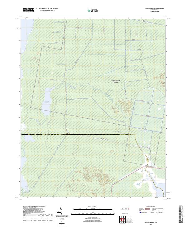 2022 Engelhard NW2022 Print · USGSCoastal Dare and Hyde Counties are shown here in the early twenty-first century, featuring a unique landscape of managed wetlands and remote water bodies. Researchers can trace the drainage patterns of Whipping Creek Lake and the straight-line access provided by Navy Lead Rd and Airforce Lead Rd.
 - 2022 Map of Rodanthe, 2022 Print
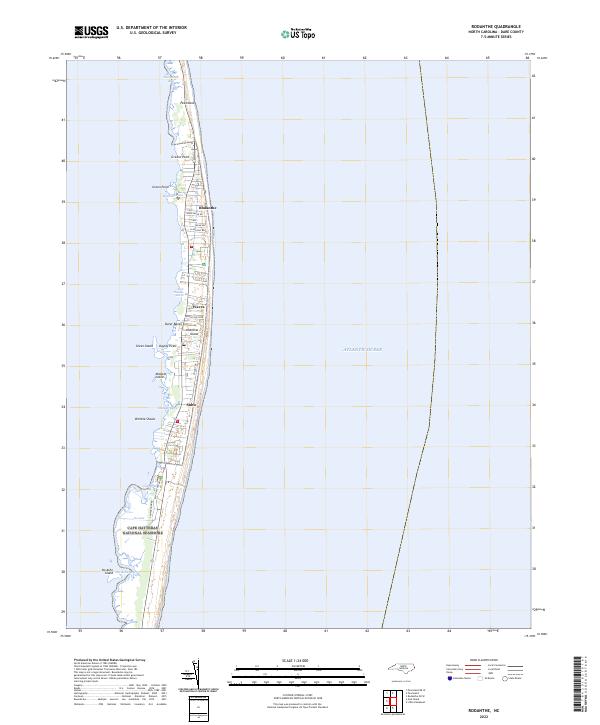 2022 Rodanthe2022 Print · USGSThe Outer Banks in the early 2020s are captured here as a narrow strip of coastal life between the sea and the sound. You can trace the residential development of Rodanthe, Waves, and Salvo or explore the protected lands of Pea Island National Wildlife Refuge.
 - 2022 Map of Pea Island OE W, 2022 Print
 2022 Pea Island OE W2022 Print · USGSThe Outer Banks shoreline and estuarine waters of Dare County appear here as they were in the early 2020s. Trace the coastal boundaries of the Pea Island National Wildlife Refuge and find landmarks like Goose Island and The Trench.
 - 2022 Map of Rodanthe OE W, 2022 Print
 2022 Rodanthe OE W2022 Print · USGSCoastal waters in the early twenty-first century define this aquatic survey of the Outer Banks region. Maritime researchers and historians can orient themselves to the expansive waters of Pamlico Sound, a central feature of the local estuarine system.
 - 2022 Map of Engelhard NE, 2022 Print
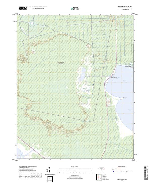 2022 Engelhard NE2022 Print · USGSThe coastal wetlands of Dare County come into focus during this early 20th-century survey of the shoreline. Researchers can trace the layout of Stumpy Point and the remote tracks of Navy Shell Rd near Stumpy Point Bay.
 - 2022 Map of Manns Harbor, 2022 Print
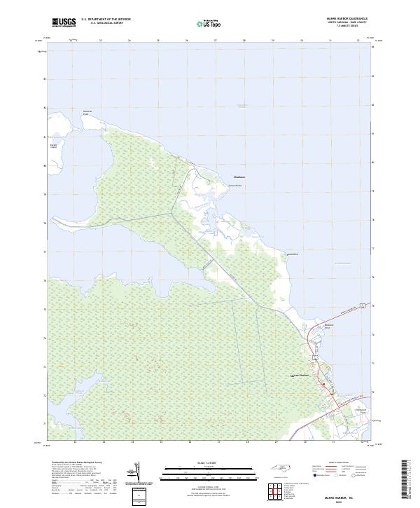 2022 Manns Harbor2022 Print · USGSManns Harbor and the Mashoes peninsula are documented here at the start of the 2020s, showing the vital bridge connections across Croatan Sound. Genealogists and local historians can trace the coastal layout of Mashoes and identify family-named points like Caroon Point and Reeds Point.
 - 2022 Map of East Lake SE, 2022 Print
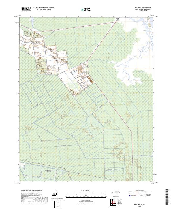 2022 East Lake SE2022 Print · USGSEastern North Carolina's coastal marshlands are mapped here in the early 2020s, showing the complex interface between land and water. Researchers can trace the network of service tracks like Miltail Rd and Navy Rd near Roanoke Marsh.
 - 2022 Map of Manteo, 2022 Print
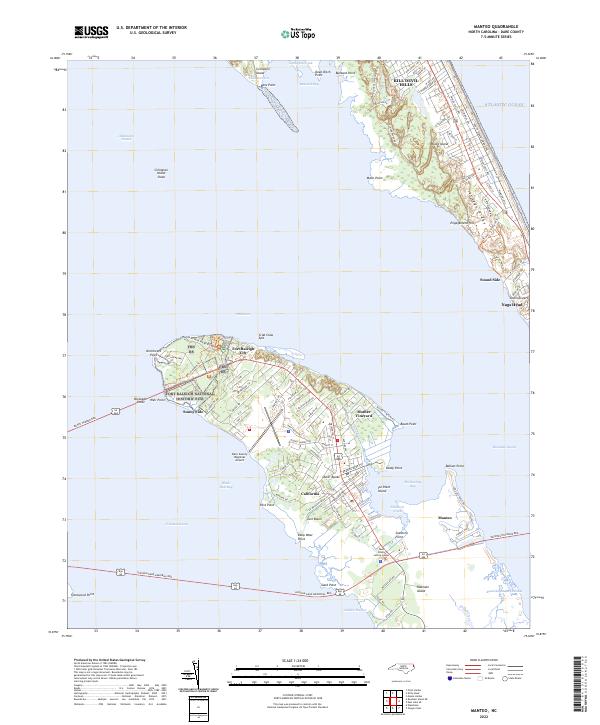 2022 Manteo2022 Print · USGSThe northern reaches of Roanoke Island and the Outer Banks come alive in this recent survey of Dare County. Genealogists and historians can trace the geography around Fort Raleigh National Historic Site, the dunes of Jockeys Ridge, and the old Mother Vineyard area.
 - 2022 Map of Roanoke Island NE, 2022 Print
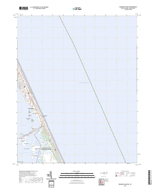 2022 Roanoke Island NE2022 Print · USGSThe Outer Banks and Roanoke Sound come into sharp focus in this 2022 survey of coastal North Carolina. Genealogists and historians can trace the shoreline roads and islands of the Cape Hatteras National Seashore, from the streets of Nags Head to Bodie Island.
 - 2022 Map of Cape Hatteras, 2022 Print
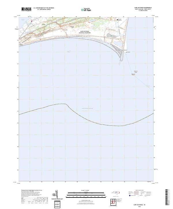 2022 Cape Hatteras2022 Print · USGSThe tip of the Outer Banks comes into sharp focus in this recent survey of the North Carolina coast. Researchers can trace the shifting sands of Cape Point or locate local landmarks like the World War II British Sailor Cem and Frisco.
 - 2022 Map of Pea Island, 2022 Print
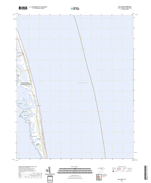 2022 Pea Island2022 Print · USGSThe Outer Banks near the Dare County coast are captured in this recent survey of the North Carolina shoreline. Researchers can trace the shifting geography of the Cape Hatteras National Seashore and local landmarks like Lagerhead Hills and Round Hammock Bay.
 - 2022 Map of Engelhard East, 2022 Print
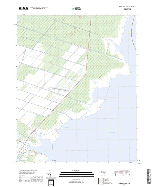 2022 Engelhard East2022 Print · USGSThe Hyde County coast comes into focus in the early 2020s, showing the intersection of managed wetlands and the open waters of the Pamlico Sound. You can trace the shoreline through Pingleton Point or locate local landmarks like the Hyde County Airport.
 - 2022 Map of Point Harbor, 2022 Print
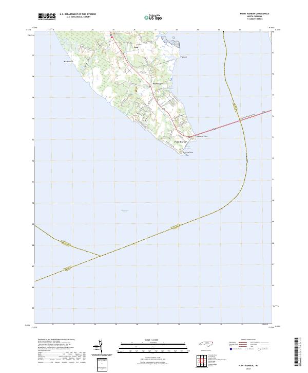 2022 Point Harbor2022 Print · USGSThe Currituck peninsula at the gateway to the Outer Banks is documented here in the early 2020s. Genealogists and local historians can trace family sites at Chadwick Cem or locate coastal settlements like Harbinger and Point Harbor.
 - 2022 Map of Martin Point, 2022 Print
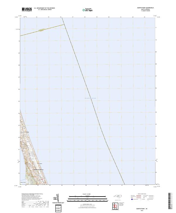 2022 Martin Point2022 Print · USGSThe northern reaches of the Outer Banks are shown in detail during the early 2020s, highlighting the coastal communities of Duck and Southern Shores. Local historians can trace the modern development of this barrier island along Duck Rd and Martin Point.
Showing maps 1-25 of 33
Top cities of Dare County
- Kill Devil Hills historical maps
- Kitty Hawk historical maps
- Nags Head historical maps
- Southern Shores historical maps
- Wanchese historical maps
- Manteo historical maps
See more
Frequently asked questions
- What are the different types of historical maps available for Dare County?
- What is the oldest map of Dare County?
- Where can I purchase historical maps of Dare County for my home or office?
- Where can I download high-res historical maps of Dare County?
- Are there historical topographic maps available for Dare County?
- Is there historical aerial imagery available for Dare County?
- Where are historical maps of Dare County sourced from?