Old Maps of Avon, North Carolina for Hiking & Exploration
Hike through history with 16 historic maps of Avon. Explore old trails, ghost towns, and forgotten backroads — perfect for outdoor adventurers and local explorers.
- Rediscover forgotten places: Map out old mining camps, roads, and footpaths that no longer exist on modern maps.
- Layer with modern tools: Combine with LiDAR or satellite views to plan hikes through historical terrain.
- Made for exploration: Popular among hikers, overlanders, and local history lovers.
Use these maps to find adventure and explore the hidden past of Avon.
Avon, NC maps
(16)- 1948 Map of Buxton, 1968 Print
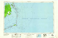
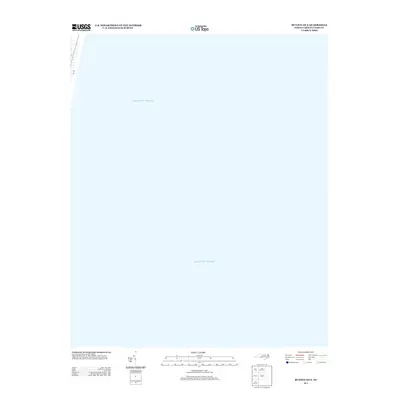
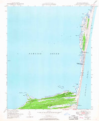 1948 Buxton1968 Print · USGSHatteras Island is captured here in the late 1940s, showing the delicate balance of the Outer Banks before the era of major tourism. Trace the history of maritime navigation through the abandoned lighthouse and the village of Avon.4 unique versions available
 - 1950 Map of Buxton
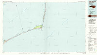
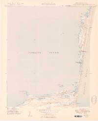 1950 Buxton1950 Print · USGSThe Outer Banks come alive in this mid-century survey of Hatteras Island as it appeared before modern development. You can trace early maritime history through landmarks like the Cape Hatteras Lighthouse and the small coastal village of Avon.2 unique versions available
 - 1955 Map of Wanchese
 1955 Wanchese1955 Print · USGSThe Outer Banks and Dare County mainland are captured in the mid-1950s, showing the maritime isolation and early highway connections of the coast. Researchers can locate coastal landmarks like the Cape Hatteras Light, the remote settlement of Buffalo City, and fishing villages from Rodanthe to Ocracoke.
 - 1957 Map of Manteo, 1967 Print
 1957 Manteo1967 Print · USGSThe Outer Banks and Albemarle Sound are captured in the late fifties as the national seashore and wildlife refuges were newly established. Trace the coastal villages from Manteo to Hatteras, and locate landmarks like the Cape Hatteras Lighthouse and Billy Mitchell field.3 unique versions available
 - 1960 Map of Manteo
 1960 Manteo1960 Print · USGSThe Outer Banks and Dare County in the early sixties reveal a landscape defined by maritime tradition and shifting sands. Genealogists can trace family lines through villages like Rodanthe and Buxton or locate landmarks like Fort Raleigh and the Cape Hatteras Lighthouse.
 - 1985 Map of Cape Hatteras
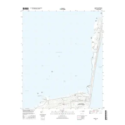
 1985 Cape Hatteras1985 Print · USGSThe Outer Banks are captured in the mid-eighties as a thin ribbon of sand between the sound and the sea. Trace the coastal communities of Ocracoke and Buxton, the Ferry route across Hatteras Inlet, and the Cape Hatteras Lighthouse.2 unique versions available
 - 2011 Map of Buxton, 2011 Print
 2011 Buxton2011 Print · USGSCovers Avon, including Buxton Landing, Buxton, and other nearby areas
 - 2011 Map of Buxton OE E, 2011 Print
 2011 Buxton OE E2011 Print · USGSCovers Avon, including Dare County, United States, and other nearby areas
 - 2013 Map of Buxton OE E, 2013 Print
 2013 Buxton OE E2013 Print · USGSCovers Avon, including Dare County, United States, and other nearby areas
 - 2013 Map of Buxton, 2013 Print
 2013 Buxton2013 Print · USGSCovers Avon, including Buxton Landing, Buxton, and other nearby areas
 - 2016 Map of Buxton OE E, 2016 Print
 2016 Buxton OE E2016 Print · USGSCovers Avon, including Dare County, United States, and other nearby areas
 - 2016 Map of Buxton, 2016 Print
 2016 Buxton2016 Print · USGSCovers Avon, including Buxton Landing, Buxton, and other nearby areas
 - 2019 Map of Buxton OE E, 2019 Print
 2019 Buxton OE E2019 Print · USGSCovers Avon, including Dare County, United States, and other nearby areas
 - 2019 Map of Buxton, 2019 Print
 2019 Buxton2019 Print · USGSCovers Avon, including Buxton Landing, Buxton, and other nearby areas
 - 2022 Map of Buxton OE E, 2022 Print
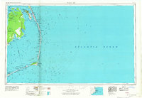
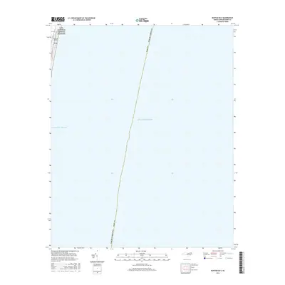
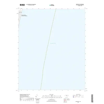
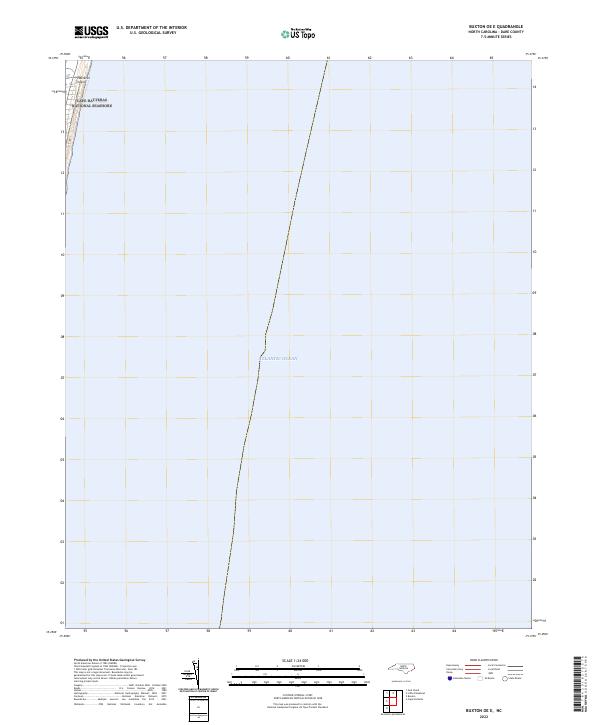 2022 Buxton OE E2022 Print · USGSThe North Carolina Outer Banks meet the sea in this recent coastal survey, where the barrier island faces the open Atlantic Ocean. Researchers can trace the protected boundaries of the Cape Hatteras National Seashore along the sands of Hatteras Island.
 - 2022 Map of Buxton, 2022 Print
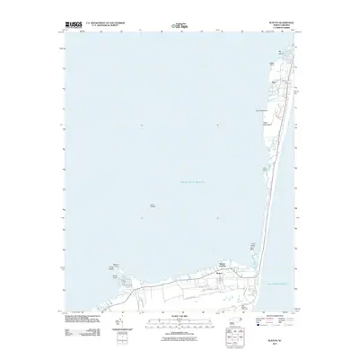
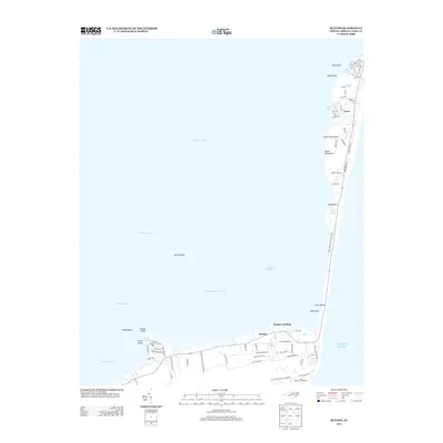
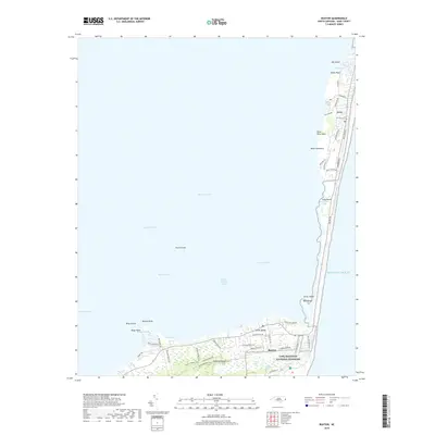
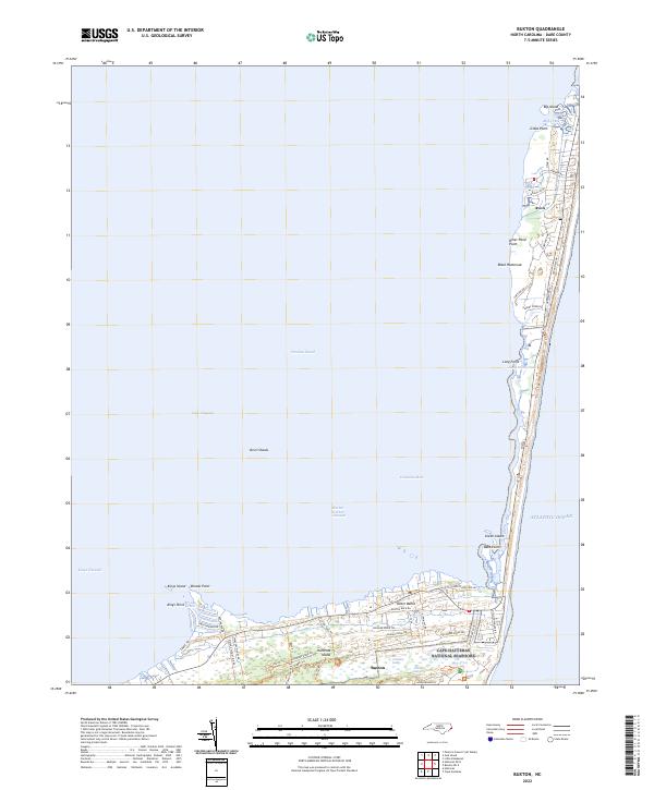 2022 Buxton2022 Print · USGSThe Outer Banks at the start of the 2020s shows the coastal communities of Buxton and Avon flanked by the sea. Trace the island's geography from the marshes of Jeanette Sedge to the historic corridors of Lighthouse Road.
End of results
Showing maps 1-16 of 16
Top cities near Avon
Frequently asked questions
- What are the different types of historical maps available for Avon?
- What is the oldest map of Avon?
- Where can I purchase historical maps of Avon for my home or office?
- Where can I download high-res historical maps of Avon?
- Are there historical topographic maps available for Avon?
- Is there historical aerial imagery available for Avon?
- Where are historical maps of Avon sourced from?