
1948 Map of Buxton
USGS Topo · Published 1968About this map
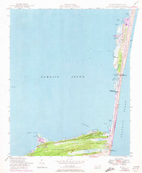
Hatteras Island stretches narrowly between the Atlantic Ocean and Pamlico Sound in this late 1940s survey. The landscape is defined by the shifting interface of water and land, featuring maritime forests like Buxton Woods and the expansive marsh of Jeanette Sedge. The coastal settlements of Avon and Buxton are connected by a single road and Telephone Line, reflecting the relative isolation of the Outer Banks before significant modern development. Maritime safety infrastructure is a prominent theme, with the map recording both the active Cape Hatteras Light and the Cape Hatteras Lighthouse (Abnd), as well as the Big Kinnakeet Coast Guard Sta (Abnd). Numerous coastal landmarks, including the Lookout Tower and various lights and spires, serve as essential navigation aids for the dangerous waters surrounding the cape.
Find a feature on this map
40 named features on this map. Tap any name to fly to it.
Don’t see what you’re looking for? This feature index may not catch every label — zoom into the map to look around manually.
Map Details
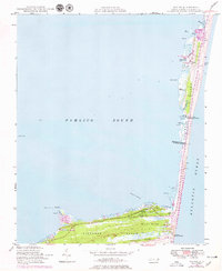
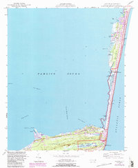
Editions of this 1948 Buxton Map
4 editions found
Other maps of this area

1948 · Cape Hatteras
USGS Topo · 1:24,000

1950 · Cape Hatteras
USGS Topo · 1:24,000

1950 · Buxton
USGS Topo · 1:24,000

1955 · Wanchese
USGS Topo · 1:250,000

1957 · Manteo
USGS Topo · 1:250,000

1960 · Manteo
USGS Topo · 1:250,000

1985 · Cape Hatteras
USGS Topo · 1:100,000

2002 · Cape Hatteras
USGS Topo · 1:24,000

2011 · Buxton
USGS Topo · 1:24,000
2011 · Hatteras
USGS Topo · 1:24,000