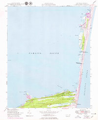
1948 Map of Buxton
USGS Topo · Published 1979About this map
Hatteras Island forms a narrow barrier between the Atlantic Ocean and the expansive Pamlico Sound, capturing the maritime character of the Outer Banks in the late 1940s. The settlement of Avon sits near the northern end of this sheet, where local navigation is marked by Peters Ditch and Spire. To the south, the community of Buxton is positioned near the dense maritime forest of Buxton Woods.
Find a feature on this map
39 named features on this map. Tap any name to fly to it.
Don’t see what you’re looking for? This feature index may not catch every label — zoom into the map to look around manually.
Map Details
Editions of this 1948 Buxton Map
4 editions found
Other maps of this area

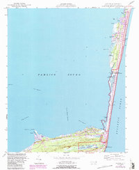
1948 · Cape Hatteras
USGS Topo · 1:24,000

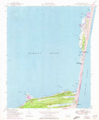
1948 · Buxton
USGS Topo · 1:24,000

1950 · Cape Hatteras
USGS Topo · 1:24,000

1950 · Buxton
USGS Topo · 1:24,000

1955 · Wanchese
USGS Topo · 1:250,000

1957 · Manteo
USGS Topo · 1:250,000

1960 · Manteo
USGS Topo · 1:250,000

1985 · Cape Hatteras
USGS Topo · 1:100,000

2002 · Cape Hatteras
USGS Topo · 1:24,000

2011 · Buxton
USGS Topo · 1:24,000