2010s Maps of Davie County, North Carolina
Explore 44 historic maps of Davie County from the 2010s. These maps offer a rare glimpse into what life looked like during the 2010s — showing old roads, neighborhoods, homes, and landmarks that have changed or disappeared over time.
Whether you're researching your family's past, planning a metal detecting trip, or studying how Davie County's landscape evolved across the 2010s, these high-resolution maps are a powerful tool for exploring the history of this region.
- Focus on a specific era: All maps on this page are from the 2010s, giving you a focused view of this time period.
- See what’s changed: Compare century-old streets, trails, and buildings to today's modern landscape using overlays and satellite layers.
- Research with precision: Use these maps for genealogy, historical research, land use analysis, or educational projects.
- View, download, or print: Maps are fully viewable online in high resolution, and can be downloaded or printed for your own records.
Start exploring Davie County's history through authentic maps from the 2010s. This is your window into the past.
Davie County, NC maps
(44)- 2010 Map of Calahaln, 2010 Print
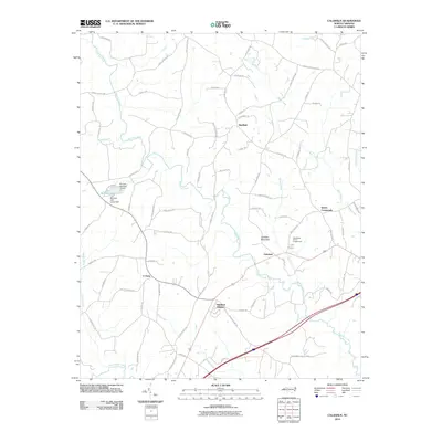 2010 Calahaln2010 Print · USGSCalahaln and the surrounding Davie County countryside are shown here at the turn of the millennium, defined by small settlements and winding creek beds. Researchers can trace family roots through locations like Ijames Crossroads, Sheffield, and V Point.
 - 2010 Map of Mocksville, 2010 Print
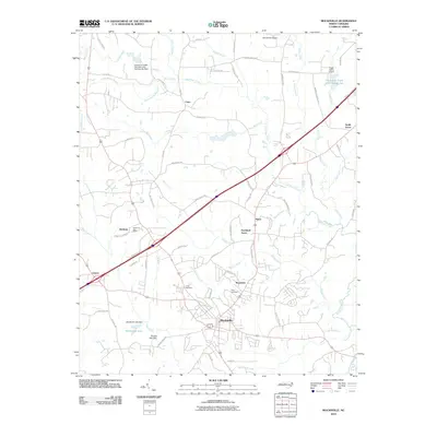 2010 Mocksville2010 Print · USGSMocksville and the surrounding Davie County countryside are captured here in 2010 as modern infrastructure integrates with historic rural settlements. Researchers can locate family landmarks like Joppa Cemetery or trace the development of locales such as Cana and Booetown.
 - 2010 Map of Churchland, 2010 Print
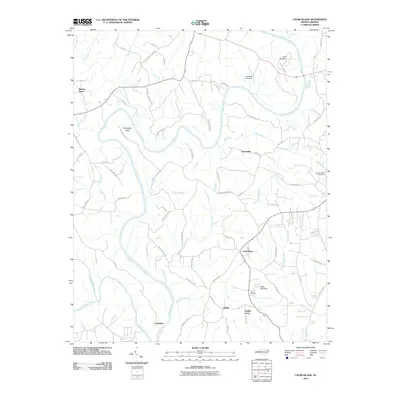 2010 Churchland2010 Print · USGSDavidson County at the start of the decade shows a rural landscape where the Yadkin River and South Yadkin River meet. Genealogists and local historians can trace family-named landmarks like Grubb Cemetery and Martins Store.
 - 2010 Map of Advance, 2010 Print
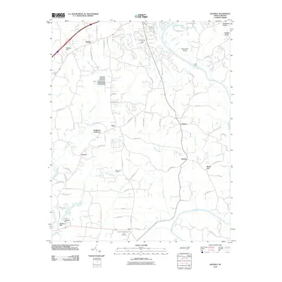 2010 Advance2010 Print · USGSThe Yadkin River valley in the early 2000s remains a landscape of historic crossroads and riverside infrastructure. Researchers can locate the Heidelberg Settlement, the Fork Church Post Office, and several local landmarks like Idols Dam and T Holt Haywood Dam.
 - 2010 Map of Cooleemee, 2010 Print
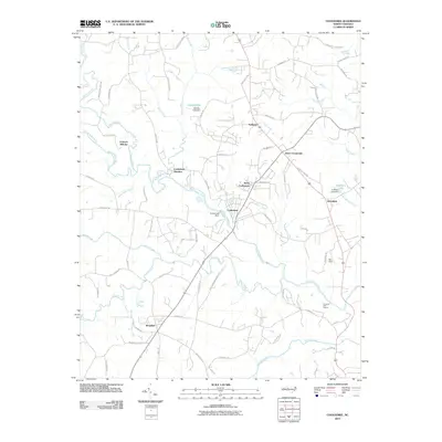 2010 Cooleemee2010 Print · USGSDavie County and Rowan County communities are mapped here in the early twenty-first century, centered on the river-fed industrial history of the region. Local researchers can trace old landmarks such as the Frohock Mill site, Cooleemee Junction, and Woodleaf.
 - 2010 Map of Cool Springs, 2010 Print
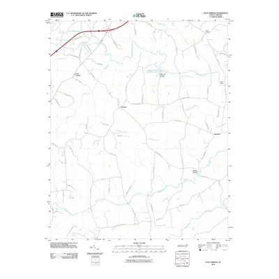 2010 Cool Springs2010 Print · USGSThe rural landscapes of Rowan and Iredell Counties appear here during a period of steady residential growth and established farming. Genealogists can locate family-named routes and old settlements like Cool Springs, Pittsburg, and Davie Academy Corners.
 - 2010 Map of Welcome, 2010 Print
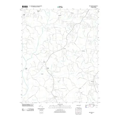 2010 Welcome2010 Print · USGSDavidson and Forsyth counties come into focus in the early 2000s as suburban development meets the historical settlements of the Piedmont. Genealogists and researchers can trace family lines through Good Hope Cemetery and the crossroads of Arcadia and Enterprise.
 - 2010 Map of Salisbury, 2010 Print
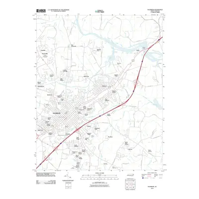 2010 Salisbury2010 Print · USGSSalisbury and the banks of the Yadkin River are captured here during a period of modern suburban expansion and industrial transition. Genealogists and local historians can trace burial sites from Old English Cemetery to Shiloh Cemetery, alongside landmarks like Beards Bridge.
 - 2010 Map of Lone Hickory, 2010 Print
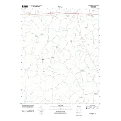 2010 Lone Hickory2010 Print · USGSYadkin County's rural communities of Lone Hickory and Footville are captured here as they appeared in 2010. Genealogists can locate several local burial sites including Sandy Springs Cemetery and the Gospel Way Cemetery alongside historical rural mail centers.
 - 2010 Map of Farmington, 2010 Print
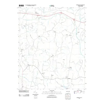 2010 Farmington2010 Print · USGSThe Yadkin River valley and the historic crossing at Shallow Ford are captured here in the early twenty-first century. Researchers can trace rural genealogy and local infrastructure through sites like the Gross Mine, Pino Post Office, and Mount Olive Cemetery.
 - 2010 Map of Clemmons, 2010 Print
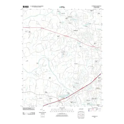 2010 Clemmons2010 Print · USGSForsyth County as it transitioned at the start of the 2010s shows a landscape of suburban growth woven into its river-bend history. Genealogists and local historians can trace family-named roads and sites from Lewisville to Clemmons Station, including the historic Lasater Mill Pond Dam.
 - 2013 Map of Mocksville, 2013 Print
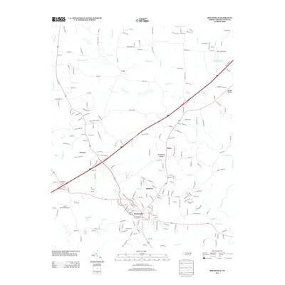 2013 Mocksville2013 Print · USGSDavie County at the beginning of the twenty-first century reveals a landscape shaped by rural crossroads and the growth of the county seat. Researchers can trace family-named routes and small communities like Booetown, Cana, and Smith Grove alongside Mocksville Lake.
 - 2013 Map of Calahaln, 2013 Print
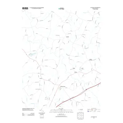 2013 Calahaln2013 Print · USGSDavie County's rural landscape is documented here in the early twenty-first century, centered on the community of Calahaln and the namesake Calahaln Mountain. Genealogists and local historians can trace family land proximity to landmarks like Ijames Crossroads and the Schneider Haven Airstrip.
 - 2013 Map of Cooleemee, 2013 Print
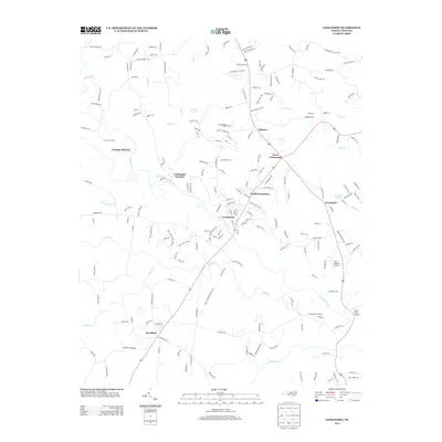 2013 Cooleemee2013 Print · USGSThe S Yadkin River valley comes into focus during the early twenty-first century, showing the relationship between traditional river settlements and local transport hubs. Genealogists can trace family locations near Jerusalem and Ephesus, or find the historic Frohock Mill site along Hunting Cr.
 - 2013 Map of Cool Springs, 2013 Print
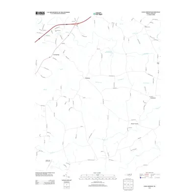 2013 Cool Springs2013 Print · USGSMount Vernon and the surrounding Piedmont landscape are captured here in the early twenty-first century as the region maintains its agricultural roots. Genealogists and local historians can trace family-named roads and landmarks like Dusty Road Jersey Farm, Shaws Bridge, and Needmore.
 - 2013 Map of Farmington, 2013 Print
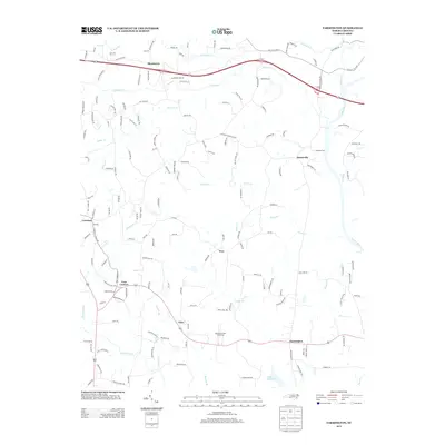 2013 Farmington2013 Print · USGSThe rural piedmont near the Yadkin River is shown here in the early twenty-first century, featuring small-town settlements and river crossings. Genealogists and historians can trace family-named routes and landmarks like the Shallow Ford, Sportsmans Park Drag Strip, and Styers Mill Rd.
 - 2013 Map of Clemmons, 2013 Print
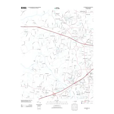 2013 Clemmons2013 Print · USGSThe Yadkin River valley and its surrounding Piedmont hills show a mix of aviation history and suburban growth in the early 2010s. Researchers can trace family-named landmarks and local hubs like Capernium, Whiteheart Farm Airport, and Harmony Grove.
 - 2013 Map of Lone Hickory, 2013 Print
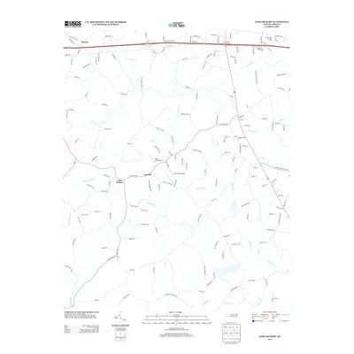 2013 Lone Hickory2013 Print · USGSYadkin County's rolling rural landscape is captured here in the early twenty-first century, centered on the crossroads of Lone Hickory and Footville. Genealogists and local historians can trace family-named routes and landmarks like Cain Mill Branch and Prison Unit Number 068.
 - 2013 Map of Welcome, 2013 Print
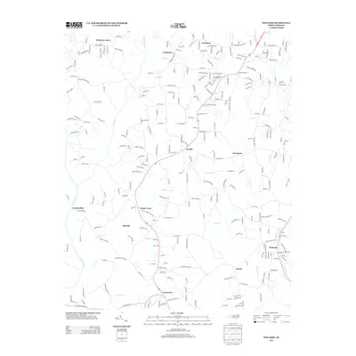 2013 Welcome2013 Print · USGSThe rural communities south of Winston-Salem are captured in detail during a period of steady residential growth and preserved local heritage. Researchers can locate family landmarks and institutional hubs like Friedburg Church, Eureka Mills, and Reedy Creek School.
 - 2013 Map of Churchland, 2013 Print
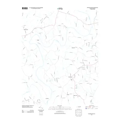 2013 Churchland2013 Print · USGSThe Yadkin River valley in the early 2010s shows a landscape of persistent rural settlements and local aviation hubs. Researchers can trace the layout of Churchland and Jubilee, or find smaller landmarks like Martins Store and Morrison Field Airport.
 - 2013 Map of Advance, 2013 Print
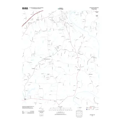 2013 Advance2013 Print · USGSThe Yadkin River valley and the surrounding North Carolina countryside are captured here in the early twenty-first century. Genealogists and local historians can trace family-named sites and rural centers like Heidleberg Settlement, Elbaville, and Clemmons Station.
 - 2013 Map of Salisbury, 2013 Print
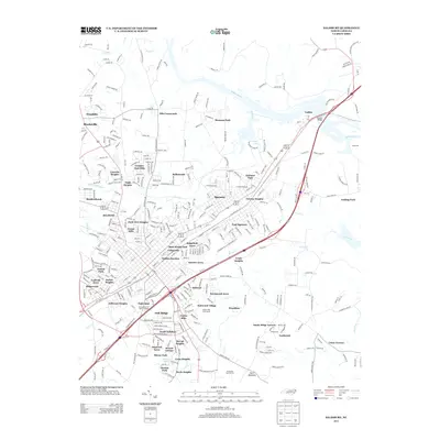 2013 Salisbury2013 Print · USGSThe suburbs of Rowan County are captured here just after the turn of the millennium, centered on the thriving rail and river communities east of the Yadkin River. Genealogists and local historians can trace the development of Spencer, East Spencer, and the historical crossing at Trading Ford.
 - 2016 Map of Lone Hickory, 2016 Print
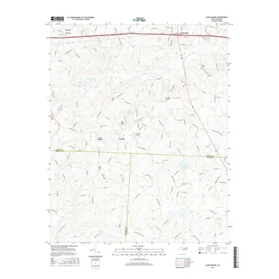 2016 Lone Hickory2016 Print · USGSThe foothills of North Carolina are mapped here during a period of modern rural growth where Yadkin, Iredell, and Davie counties meet. Genealogists can locate several local burial sites like Brandons Friends Cemetery and Hanes Grove Cemetery near settlements like Footville.
 - 2016 Map of Farmington, 2016 Print
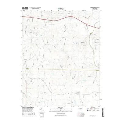 2016 Farmington2016 Print · USGSThe Yadkin River valley at the Davie and Yadkin county lines is captured here in the mid-2010s. Genealogists can trace a wealth of community history through numerous burial sites including Farmington Cemeteries and Huntsville Cem.
 - 2016 Map of Clemmons, 2016 Print
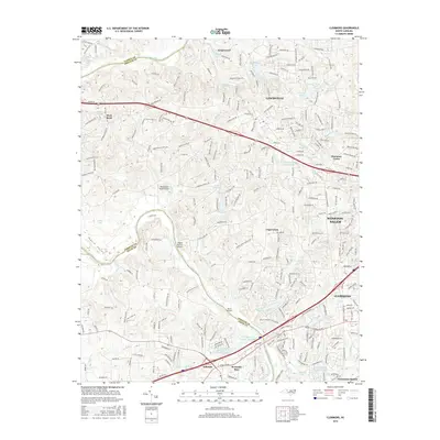 2016 Clemmons2016 Print · USGSThe Yadkin River valley and the growing suburbs of Forsyth County are captured here in the mid-2010s. Genealogists and local historians can trace the development of Lewisville and Clemmons or locate smaller spots like Harmony Grove and Capernium.
Showing maps 1-25 of 44
Top cities of Davie County
Frequently asked questions
- What are the different types of historical maps available for Davie County?
- What is the oldest map of Davie County?
- Where can I purchase historical maps of Davie County for my home or office?
- Where can I download high-res historical maps of Davie County?
- Are there historical topographic maps available for Davie County?
- Is there historical aerial imagery available for Davie County?
- Where are historical maps of Davie County sourced from?