Old Maps of Edgecombe County, North Carolina for Academic Research
Study the evolution of Edgecombe County with 119 high-resolution historic maps. Whether you're teaching, researching, or modeling changes in land use, these maps provide essential visual documentation of urban, environmental, and geographic change.
- Analyze long-term change: Track patterns in development, transportation, and natural features.
- Ideal for environmental or urban studies: Support academic projects with primary historical map data.
- Use in the classroom or lab: Educators and researchers rely on these maps to bring historical context to life.
These maps are a powerful tool for teaching, research, and visualizing how Edgecombe County has changed over the decades.
Edgecombe County, NC maps
(119)- 1901 Map of Parmele, 1971 Print
 1901 Parmele1971 Print · USGSCoastal plain North Carolina at the turn of the century is defined here by the converging tracks at Parmele and the dense swampy lowlands. Genealogists can trace early homesteads and community hubs like Shiloh Mills, Dogtown, and the old Tram Road.
 - 1902 Map of Parmele, 1959 Print
 1902 Parmele1959 Print · USGSCoastal Plain North Carolina at the turn of the century shows a landscape defined by the arrival of the railroad. Genealogists and local historians can trace family roots in early settlements like Conetoe, Shiloh Mills, and the rail junction at Parmele.
 - 1902 Map of Rocky Mount, 1965 Print
 1902 Rocky Mount1965 Print · USGSThe coastal plain of North Carolina comes alive in this early survey of the rail and river corridors between Nashville and Rocky Mount. Genealogists can trace early landmarks like Snells Crossroads, the Rocky Mount Mills, and Elm City.
 - 1902 Map of Tarboro, 1968 Print
 1902 Tarboro1968 Print · USGSEdgecombe County at the dawn of the twentieth century was a landscape defined by the winding Tar River and the expansion of the Atlantic Coast Line. Genealogists can trace family names at Bullocks Crossroads, locate the old Steamboat Route, or explore early settlements like Pinetops and Princeville.
 - 1903 Map of Tarboro, 1935 Print
 1903 Tarboro1935 Print · USGSCoastal plain life in Edgecombe County at the opening of the century centered on river commerce and emerging rail lines. You can trace early family sites and rural junctions like Wiggins Crossroads, the Steamboat Route on the river, and the mill works along Sasnett Mill Swamp.2 unique versions available
 - 1904 Map of Falkland, 1936 Print
 1904 Falkland1936 Print · USGSCoastal plain life at the turn of the century centered on river landings and swamp-side settlements across Pitt and Greene counties. Genealogists and historians can trace family roots at Fountain P.O., the mills at Harris Millpond, and river traffic at Dupree Ldg.3 unique versions available
 - 1904 Map of Rocky Mount, 1942 Print
 1904 Rocky Mount1942 Print · USGSThe Tar River and the rail hubs of eastern North Carolina come alive in this early twentieth-century survey. Genealogists and local historians can trace the growth of Rocky Mount and Nashville, or locate vanished industrial landmarks like the Upper Falls Rocky Mount Mills and Finch Mill.
 - 1953 Map of Norfolk, 1954 Print
 1953 Norfolk1954 Print · USGSCoastal Virginia and northeastern North Carolina appear here during the post-war industrial boom, showing the critical rail-and-sea connections of Hampton Roads. Genealogists can trace family roots through rural landmarks like Gethsemane Ch, the Caledonia State Prison Farm, and the vast interior of the Dismal Swamp.4 unique versions available
 - 1953 Map of Rocky Mount, 1964 Print
 1953 Rocky Mount1964 Print · USGSEastern North Carolina in the mid-fifties is defined by its deep river basins and the vast wetlands of the Tidewater. Genealogists can trace family roots through hubs like Kinston and New Bern or explore the wilderness of Pettigrew State Park and Lake Mattamuskeet.4 unique versions available
 - 1954 Map of Rocky Mount
 1954 Rocky Mount1954 Print · USGSEastern North Carolina is mapped in the mid-fifties, showing a landscape of sounds, swamps, and steam-era rail lines. Genealogists can trace the rural road networks and rail spurs connecting towns like Tarboro, Greenville, and the remote Columbia.
 - 1960 Map of Draughn, 1964 Print
 1960 Draughn1964 Print · USGSThe borderlands of Halifax and Edgecombe counties appear here in the early 1960s, a landscape defined by the winding course of Fishing Creek. Researchers can locate family landmarks like O'Neal Cem and local centers including Bethlehem Ch.
 - 1961 Map of Whitakers, 1964 Print
 1961 Whitakers1964 Print · USGSCoastal Plain agriculture and rail travel define the Nash-Edgecombe borderlands during the early sixties. Researchers can trace family history through a network of small churches and crossroads like Jerusalem Ch, Speight Chapel, and Taylor Crossroads.2 unique versions available
 - 1961 Map of Enfield, 1964 Print
 1961 Enfield1964 Print · USGSEnfield was a bustling railroad hub in the early 1960s, centered on the intersection of the Atlantic Coast Line and local routes. Genealogists can trace family names through landmarks like Pittman Cem and Overstreet Cem or locate the Inborden Sch and Bricks settlement.
 - 1962 Map of Hobgood, 1964 Print
 1962 Hobgood1964 Print · USGSThe rural landscape of Halifax and Edgecombe counties is captured here in the early sixties, centered on the railroad town of Hobgood. Researchers can trace old family sites and rural landmarks like the Leggett House Cem, Shield Sch, and Kehukee Ch.2 unique versions available
 - 1963 Map of Drake, 1964 Print
 1963 Drake1964 Print · USGSCoastal Plain farmland and swampy creek bottoms define this Nash County area in the early sixties. Genealogists can trace family names at Dozier Cem and Harper Cem or locate community hubs like Dortches, Drake, and North Carolina Wesleyan College.2 unique versions available
 - 1975 Map of Rocky Mount, 1978 Print
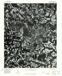 1975 Rocky Mount1978 Print · USGSRocky Mount and the surrounding Nash County countryside are captured in this mid-1970s aerial survey. Local historians and genealogists can trace the footprint of the city alongside nearby settlements like Sharpsburg and Battleboro as they appeared decades ago.
 - 1977 Map of Rocky Mount
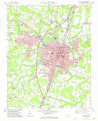 1977 Rocky Mount1977 Print · USGSRocky Mount is captured in the late seventies as it expanded across the Nash and Edgecombe county lines. Researchers can trace neighborhood growth through Woodlawn and Sunset or locate local landmarks like Buck Leonard Park and the Drive-in Theater.
 - 1977 Map of Elm City
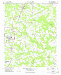 1977 Elm City1977 Print · USGSCoastal plain agriculture and rail transport meet in the late 1970s at the junction of Nash, Wilson, and Edgecombe counties. Researchers can trace historic family landmarks and rural nodes like Elm City, Bridgersville, and Pleasant Hope Ch.
 - 1980 Map of Pinetops, 1981 Print
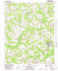 1980 Pinetops1981 Print · USGSEdgecombe County was a landscape of established rail towns and rural church communities in the late 1970s. Trace family roots and local history through landmarks like Temperance Hall, the streets of Pinetops, and centers of worship such as Morning Star Ch.
 - 1980 Map of Falkland, 1981 Print
 1980 Falkland1981 Print · USGSPitt County's rural landscape is captured here in the late seventies, centered on the river-bend settlement of Falkland. Researchers can trace old family sites and community centers like Sharp Point, Dupree Landing, and Kings Crossroads.2 unique versions available
 - 1981 Map of Speed
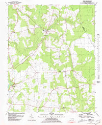 1981 Speed1981 Print · USGSEdgecombe County at the dawn of the eighties reveals a landscape of railroad towns and riverfront hamlets shaped by the Tar River. Genealogists can locate family landmarks such as White Chapel, Roberson Sch, and the rural community of Coakley.2 unique versions available
 - 1981 Map of Robersonsville West
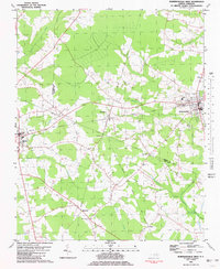 1981 Robersonsville West1981 Print · USGSCoastal plain settlements and railroad junctions define this 1980s landscape across the Pitt and Martin county lines. Genealogists and historians can trace family roots through numerous unnamed cemeteries and community hubs like Parmele, Hickory Grove Ch, and the Seaboard Coast Line tracks.
 - 1981 Map of Conetoe
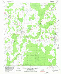 1981 Conetoe1981 Print · USGSCoastal plain settlements and expansive wetlands define this region in the early eighties. Genealogists and local historians can trace family-named crossroads like Mayos Crossroads, find country sites like Johnson Ch, and follow the Seaboard Coast Line through Conetoe.
 - 1981 Map of Oak City
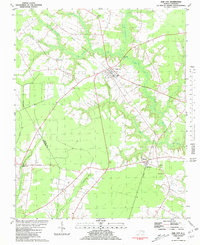 1981 Oak City1981 Print · USGSIn the early 1980s, this area of Martin County was defined by its railroad hamlets and extensive swamp drainage systems. Researchers can locate many rural landmarks including Merritts Chapel, the Lookout Tower, and cemeteries near Hassell and Oak City.
 - 1981 Map of Hartsease
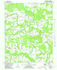 1981 Hartsease1981 Print · USGSEdgecombe County in the early eighties is defined by the winding Tar River and the rural communities it supports. Researchers can trace family roots at Old Town Cem or explore established settlements like Kingsboro and Bullucks Crossroads.2 unique versions available
Showing maps 1-25 of 119
Top cities of Edgecombe County
- Tarboro historical maps
- Princeville historical maps
- Pinetops historical maps
- Macclesfield historical maps
- Conetoe historical maps
- Speed historical maps
See more
Frequently asked questions
- What are the different types of historical maps available for Edgecombe County?
- What is the oldest map of Edgecombe County?
- Where can I purchase historical maps of Edgecombe County for my home or office?
- Where can I download high-res historical maps of Edgecombe County?
- Are there historical topographic maps available for Edgecombe County?
- Is there historical aerial imagery available for Edgecombe County?
- Where are historical maps of Edgecombe County sourced from?