2010s Maps of Edgecombe County, North Carolina
Explore 68 historic maps of Edgecombe County from the 2010s. These maps offer a rare glimpse into what life looked like during the 2010s — showing old roads, neighborhoods, homes, and landmarks that have changed or disappeared over time.
Whether you're researching your family's past, planning a metal detecting trip, or studying how Edgecombe County's landscape evolved across the 2010s, these high-resolution maps are a powerful tool for exploring the history of this region.
- Focus on a specific era: All maps on this page are from the 2010s, giving you a focused view of this time period.
- See what’s changed: Compare century-old streets, trails, and buildings to today's modern landscape using overlays and satellite layers.
- Research with precision: Use these maps for genealogy, historical research, land use analysis, or educational projects.
- View, download, or print: Maps are fully viewable online in high resolution, and can be downloaded or printed for your own records.
Start exploring Edgecombe County's history through authentic maps from the 2010s. This is your window into the past.
Edgecombe County, NC maps
(68)- 2010 Map of Whitakers, 2010 Print
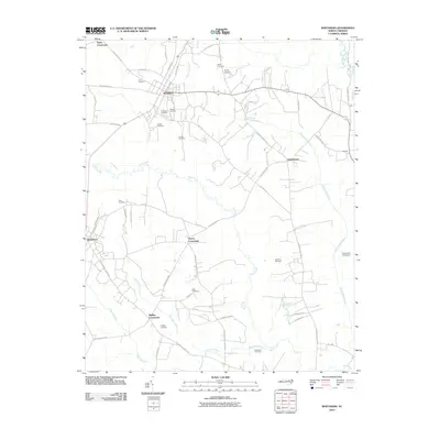 2010 Whitakers2010 Print · USGSThe coastal plain near Rocky Mount is documented here in the early twenty-first century as a landscape of crossroads and creeks. Genealogists can locate family burial grounds like Battle Cemetery and Watson Cemetery or trace the routes through Taylor Crossroads and Phillips Crossroads.
 - 2010 Map of Enfield, 2010 Print
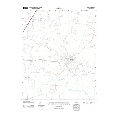 2010 Enfield2010 Print · USGSEnfield and the surrounding Halifax County lowlands appear in high detail during the early 2000s. Researchers can trace family history through numerous burial sites like Old Bricks Cemetery and Elmwood Cemetery, or locate historic crossings at Bellamys Bridge.
 - 2010 Map of Drake, 2010 Print
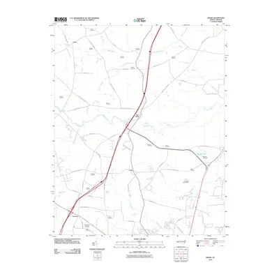 2010 Drake2010 Print · USGSThe crossroads of Nash County come to life in this contemporary survey, showing the rural communities of Gold Rock and Dortches. Genealogists and local historians can trace family lineages through numerous small plots like the Manns Cemetery and Williams Cemetery near Swift Creek.
 - 2010 Map of Hobgood, 2010 Print
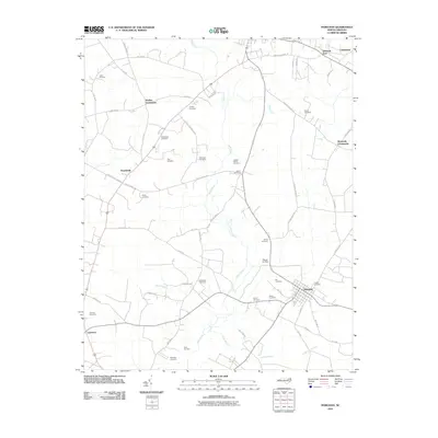 2010 Hobgood2010 Print · USGSThe rural crossroads and family homesteads of Halifax County are captured here in the early twenty-first century. Genealogists can trace family burial sites like Leggett House Cemetery and Hogun Cemetery or locate historic hubs at Mullins Crossroads and Hobgood.
 - 2010 Map of Rocky Mount, 2010 Print
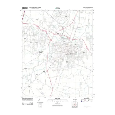 2010 Rocky Mount2010 Print · USGSRocky Mount and its surrounding communities are shown in great detail during the first decade of the millennium. Researchers can trace family sites near Pineview Cemetery or explore neighborhoods like Little Easonburg and Swelton Heights.
 - 2010 Map of Falkland, 2010 Print
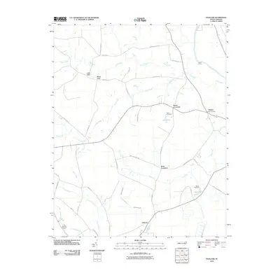 2010 Falkland2010 Print · USGSThe rural landscapes of Pitt County are documented here in the early 2000s, centered on the community of Falkland. Researchers can trace local landmarks and crossroads like Dupree Crossroads, Cobb Town, and the historic Dupree Landing along the Tar River.
 - 2010 Map of Hartsease, 2010 Print
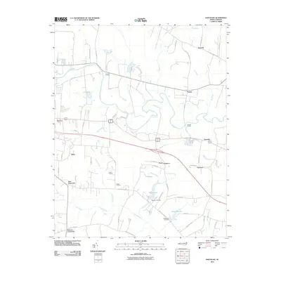 2010 Hartsease2010 Print · USGSEdgecombe County at the start of the 21st century remains a landscape defined by the winding Tar River and a network of historic rural settlements. Genealogists and local historians can trace family-named landmarks such as Bullucks Crossroads, Old Town Cemetery, and Nobles Millpond.
 - 2010 Map of Speed, 2010 Print
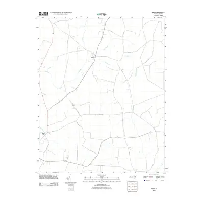 2010 Speed2010 Print · USGSEdgecombe County in the early 2000s remains a landscape of deep agricultural roots and quiet crossroads communities. Genealogists and local historians can trace family farm names and old routes connecting Speed, Shiloh Mills, and Piney Grove along the banks of Conetoe Creek.
 - 2010 Map of Elm City, 2010 Print
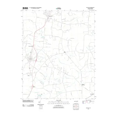 2010 Elm City2010 Print · USGSCoastal plain settlements and winding swamp systems define this Wilson County landscape in the early 2000s. Genealogists and historians can trace the rural layout of communities like Sharpsburg, Bridgersville, and Penders Crossroads.
 - 2010 Map of Old Sparta, 2010 Print
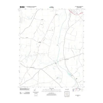 2010 Old Sparta2010 Print · USGSEdgecombe County at the start of the 2010s remains a landscape of traditional crossroads and river landings. Genealogists and researchers can trace family lands near Old Sparta or locate historic rural centers like Henrietta and Penny Hill.
 - 2010 Map of Conetoe, 2010 Print
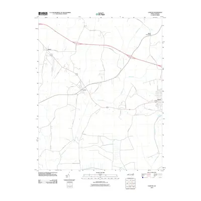 2010 Conetoe2010 Print · USGSThe coastal plains near Conetoe and Bethel are shown in this modern survey during a period of agricultural persistence. Researchers can locate specific family-named landmarks and rural settlements like Mildred, Dogtown, and Mayos Crossroads.
 - 2010 Map of Fountain, 2010 Print
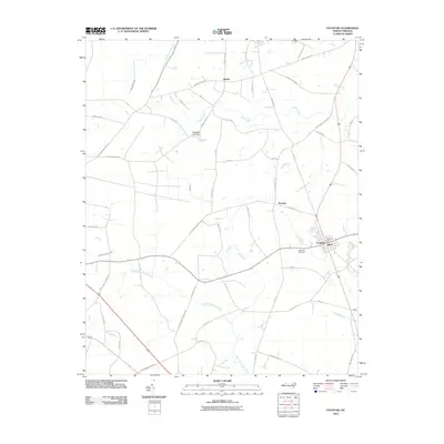 2010 Fountain2010 Print · USGSPitt County's rural landscape is captured here in the years following the millennium, centered on the community of Fountain. Researchers can trace local landmarks like Memorial Cemetery and the post office, alongside smaller settlements such as Reba and Toddy.
 - 2010 Map of Robersonville West, 2010 Print
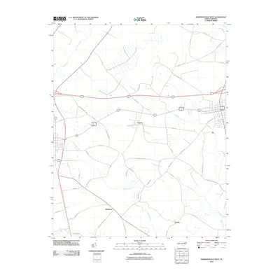 2010 Robersonville West2010 Print · USGSCoastal plain settlements like Parmele and Whitehurst are documented here during a period of modern agricultural stability. Researchers can trace local heritage through landmarks like Flat Swamp Church Rd and the drainage of Briery Swamp.
 - 2010 Map of Draughn, 2010 Print
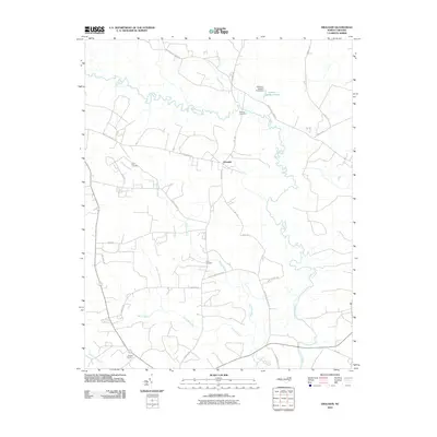 2010 Draughn2010 Print · USGSDraughn and the surrounding Edgecombe County countryside are documented here in the early twenty-first century, showing a landscape of family lands and tidal lowlands. Genealogists can locate historical family burial grounds like Price Cemetery and Bulluck Cemetery along the banks of Fishing Creek.
 - 2010 Map of Tarboro, 2010 Print
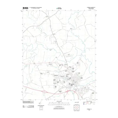 2010 Tarboro2010 Print · USGSThe riverfront communities of Princeville and Tarboro are shown here in the early twenty-first century as they interact with the winding Tar River. Researchers can locate family roots in Dancy Memorial Cemetery or trace the development of neighborhoods like Belvedere and Speight Forest.
 - 2010 Map of Pinetops, 2010 Print
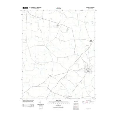 2010 Pinetops2010 Print · USGSCoastal plain settlements in Edgecombe County are captured here at a time of steady rural growth. Researchers can trace family-named routes and local landmarks from Saint Lewis and Pinetops to the water-bound reaches of Cokey Swamp and Town Creek.
 - 2010 Map of Oak City, 2010 Print
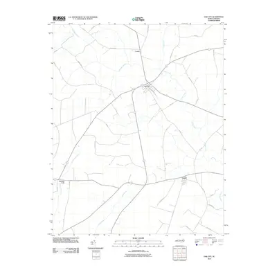 2010 Oak City2010 Print · USGSMartin County's agricultural and wetland landscape is captured here in the early twenty-first century, centered on the junction at Oak City. Genealogists and local historians can trace family-named routes like Mayo Farm Rd and Gainer Ln near Conoho and Hassell.
 - 2013 Map of Enfield, 2013 Print
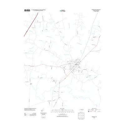 2013 Enfield2013 Print · USGSCoastal Plain settlements and extensive wetlands define this Halifax County landscape in the early 2010s. Researchers can trace the local road network through Wards Crossroads and Bricks, or locate landmarks like the Enfield-Shearin Airport and Bellamys Bridge.
 - 2013 Map of Draughn, 2013 Print
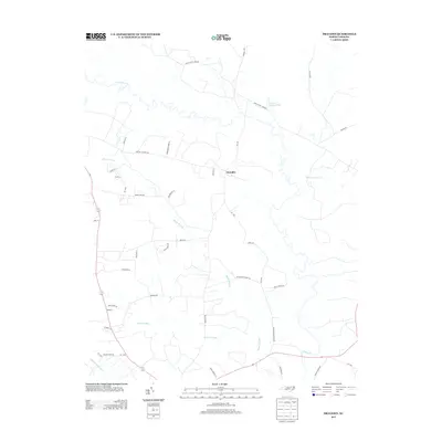 2013 Draughn2013 Print · USGSEdgecombe County's coastal plain was still defined by its complex wetlands and family farmsteads in the early 2010s. Researchers can trace rural legacies along Coker Town Rd and Bethlehem Church Rd near the waters of Fishing Cr.
 - 2013 Map of Drake, 2013 Print
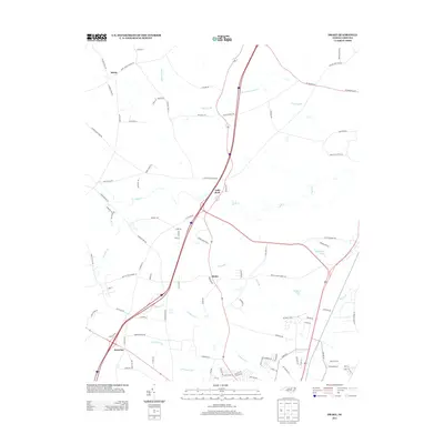 2013 Drake2013 Print · USGSInland North Carolina at the turn of the decade shows the intersection of rural roots and modern growth. Genealogists and local historians can trace the areas around Gold Rock, Salem, and Dortches, or locate family lands near Beaverdam Swamp and Swift Cr.
 - 2013 Map of Oak City, 2013 Print
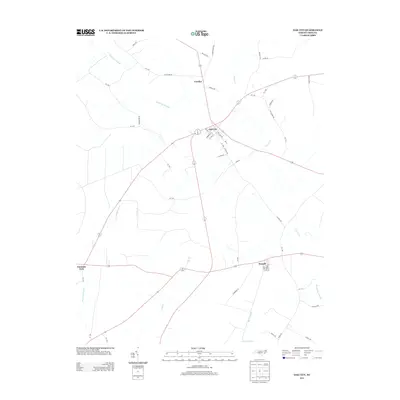 2013 Oak City2013 Print · USGSMartin County's rural landscape is captured here in the early twenty-first century, centered on the crossroads community of Oak City. Genealogists and local historians can trace the roads and waterways connecting Hassell, Conoho, and the wetlands of Etheridge Swamp.
 - 2013 Map of Falkland, 2013 Print
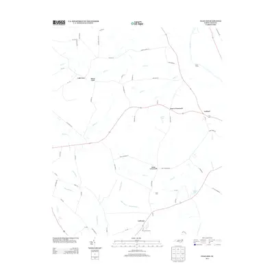 2013 Falkland2013 Print · USGSEastern North Carolina farming communities and river landings thrive along the Tar River in the early twenty-first century. Genealogists can trace family footprints through locations like Kings Crossroads, Cobb Town, and Dupree Landing.
 - 2013 Map of Rocky Mount, 2013 Print
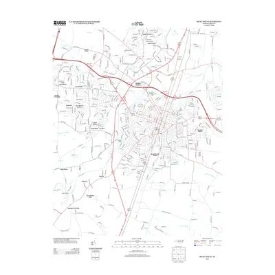 2013 Rocky Mount2013 Print · USGSRocky Mount is shown in detail during the early twenty-first century as it spans the bends of the Tar River. Researchers can trace the layout of residential neighborhoods like South Rocky Mount or locate historic industrial sites such as Rocky Mount Mills.
 - 2013 Map of Speed, 2013 Print
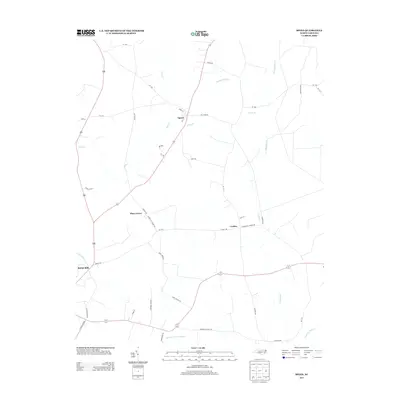 2013 Speed2013 Print · USGSEdgecombe County's agricultural and rail-connected landscape is documented here in the early twenty-first century. Genealogists and local historians can trace family-named routes and old settlements like Shiloh Mills, Coakley, and Piney Grove.
 - 2013 Map of Old Sparta, 2013 Print
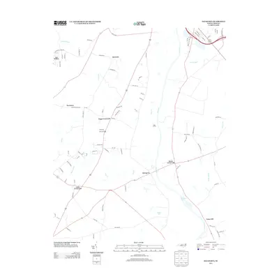 2013 Old Sparta2013 Print · USGSThe Tar River drainage basin in the early 21st century remains a network of rural hamlets and agricultural crossings. Researchers can trace the lineage of riverfront landings and crossroads settlements like Old Sparta, Penny Hill, and Suggs Landing.
Showing maps 1-25 of 68
Top cities of Edgecombe County
- Tarboro historical maps
- Princeville historical maps
- Pinetops historical maps
- Macclesfield historical maps
- Conetoe historical maps
- Speed historical maps
See more
Frequently asked questions
- What are the different types of historical maps available for Edgecombe County?
- What is the oldest map of Edgecombe County?
- Where can I purchase historical maps of Edgecombe County for my home or office?
- Where can I download high-res historical maps of Edgecombe County?
- Are there historical topographic maps available for Edgecombe County?
- Is there historical aerial imagery available for Edgecombe County?
- Where are historical maps of Edgecombe County sourced from?