2000s (21st Century) Maps of Hertford County, North Carolina
Explore 89 historic maps of Hertford County from the 2000s (21st Century). These maps offer a rare glimpse into what life looked like during the 2000s — showing old roads, neighborhoods, homes, and landmarks that have changed or disappeared over time.
Whether you're researching your family's past, planning a metal detecting trip, or studying how Hertford County's landscape evolved across the 2000s, these high-resolution maps are a powerful tool for exploring the history of this region.
- Focus on a specific era: All maps on this page are from the 2000s, giving you a focused view of this time period.
- See what’s changed: Compare century-old streets, trails, and buildings to today's modern landscape using overlays and satellite layers.
- Research with precision: Use these maps for genealogy, historical research, land use analysis, or educational projects.
- View, download, or print: Maps are fully viewable online in high resolution, and can be downloaded or printed for your own records.
Start exploring Hertford County's history through authentic maps from the 2000s. This is your window into the past.
Hertford County, NC maps
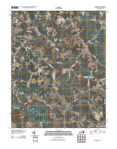
(89)- 2000 Map of Colerain, 2002 Print
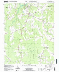
 2000 Colerain2002 Print · USGSBertie County's riverfront and swamp-bordered farmsteads are documented here at the turn of the twenty-first century. Genealogists can locate family landmarks from Colerain to Whites Crossroads, including New Holly Grove Ch and Hillcrest Cem.
 - 2000 Map of Gatesville, 2002 Print
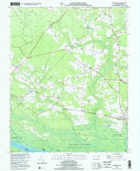 2000 Gatesville2002 Print · USGSCoastal North Carolina at the turn of the millennium reveals a landscape of deep swamps and historic crossroads communities. Trace family roots and local landmarks from Gatesville to Ballards Grove Ch, or explore the winding reaches of Cypress Swamp.
 - 2000 Map of Winton, 2002 Print
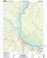 2000 Winton2002 Print · USGSCoastal Plain river life and swamp topography are preserved here in the year 2000, centered on the Chowan River. Local researchers can trace family landmarks and community sites like Brown Sch, Askew Cem, and the riverfront at Chowan Beach.
 - 2000 Map of Powellsville, 2002 Print
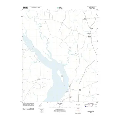
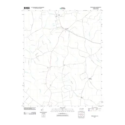
 2000 Powellsville2002 Print · USGSBertie County at the turn of the millennium remains a landscape of deep swamps and quiet rural crossroads. Genealogists and local historians can trace family locations through numerous sites like Holly Grove Ch, the White Sch, and the Old Railroad Grade.
 - 2010 Map of Riverdale, 2010 Print
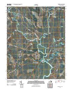 2010 Riverdale2010 Print · USGSCovers Hertford County, including Como, Cherry Grove, and other nearby areas
 - 2010 Map of Woodland, 2010 Print
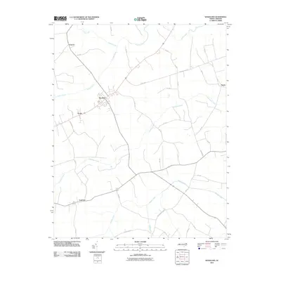 2010 Woodland2010 Print · USGSCovers Hertford County, including Woodland, Eagletown, and other nearby areas
 - 2010 Map of Valhalla, 2010 Print
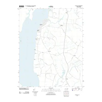 2010 Valhalla2010 Print · USGSCovers Hertford County, including Arrowhead Beach, Mavaton, and other nearby areas
 - 2010 Map of Union, 2010 Print
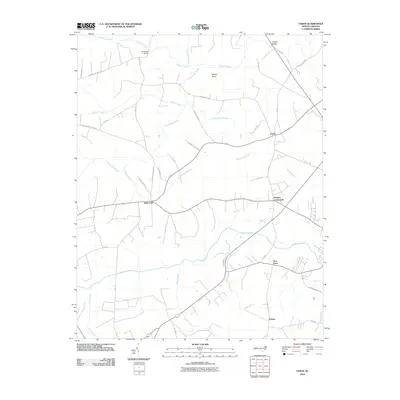 2010 Union2010 Print · USGSCovers Hertford County, including Ahoskie, Union, and other nearby areas
 - 2010 Map of Mintonsville, 2010 Print
 2010 Mintonsville2010 Print · USGSCovers Hertford County, including Muddy Cross, Old Chapel Crossroads, and other nearby areas
 - 2010 Map of Harrellsville, 2010 Print
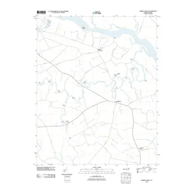 2010 Harrellsville2010 Print · USGSCovers Hertford County, including Harrellsville, Newsome Store, and other nearby areas
 - 2010 Map of Gatesville, 2010 Print
 2010 Gatesville2010 Print · USGSCovers Hertford County, including Gatesville, Eleanors Crossroads, and other nearby areas
 - 2010 Map of Winton, 2010 Print
 2010 Winton2010 Print · USGSCovers Hertford County, including Winton, Como, and other nearby areas
 - 2010 Map of Powellsville, 2010 Print
 2010 Powellsville2010 Print · USGSCovers Hertford County, including Powellsville, Elm Grove, and other nearby areas
 - 2010 Map of Conway, 2010 Print
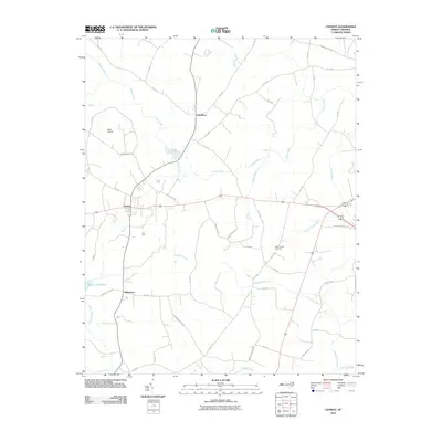 2010 Conway2010 Print · USGSCovers Hertford County, including Conway, Milwaukee, and other nearby areas
 - 2010 Map of Boykins, 2010 Print
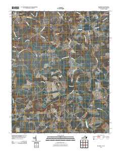 2010 Boykins2010 Print · USGSCovers Hertford County, including Boykins, Newsoms, and other nearby areas
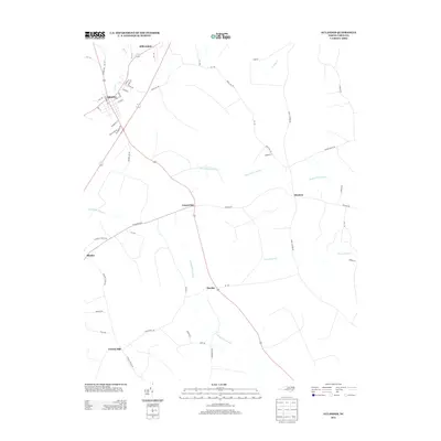
 - 2010 Map of Murfreesboro, 2010 Print
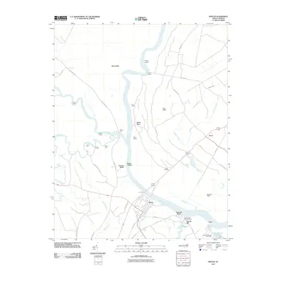
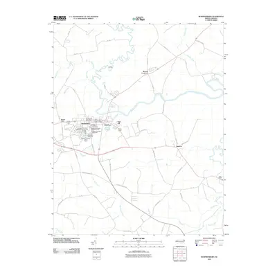 2010 Murfreesboro2010 Print · USGSCovers Hertford County, including Murfreesboro, Como, and other nearby areas
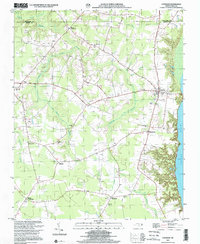
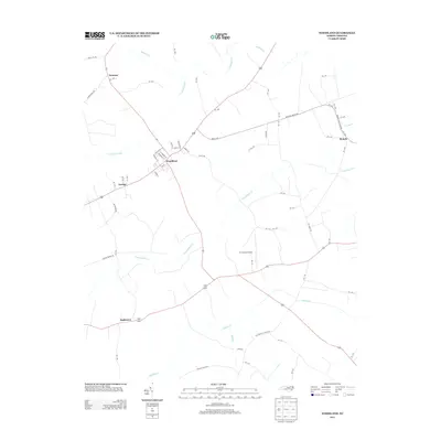
 - 2010 Map of Aulander, 2010 Print
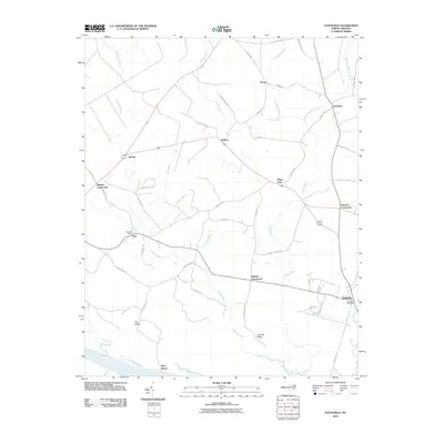
 2010 Aulander2010 Print · USGSCovers Hertford County, including Aulander, Burden, and other nearby areas
 - 2010 Map of Kelford, 2010 Print
 2010 Kelford2010 Print · USGSCovers Hertford County, including Aulander, Lewiston Woodville, and other nearby areas
 - 2010 Map of Colerain, 2010 Print
 2010 Colerain2010 Print · USGSCovers Hertford County, including Colerain, Trap, and other nearby areas
 - 2010 Map of Ahoskie, 2010 Print
 2010 Ahoskie2010 Print · USGSCovers Hertford County, including Ahoskie, Cofield, and other nearby areas
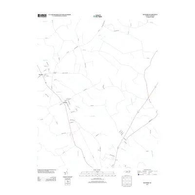
 - 2010 Map of Sunbeam, 2010 Print
 2010 Sunbeam2010 Print · USGSCovers Hertford County, including Newsoms, Como, and other nearby areas
 - 2013 Map of Aulander, 2013 Print
 2013 Aulander2013 Print · USGSCovers Hertford County, including Aulander, Burden, and other nearby areas
 - 2013 Map of Woodland, 2013 Print
 2013 Woodland2013 Print · USGSCovers Hertford County, including Woodland, Eagletown, and other nearby areas
 - 2013 Map of Kelford, 2013 Print
 2013 Kelford2013 Print · USGSCovers Hertford County, including Aulander, Lewiston Woodville, and other nearby areas
 - 2013 Map of Conway, 2013 Print
 2013 Conway2013 Print · USGSCovers Hertford County, including Conway, Milwaukee, and other nearby areas
Showing maps 1-25 of 89
Top cities of Hertford County
- Ahoskie historical maps
- Murfreesboro historical maps
- Winton historical maps
- Cofield historical maps
- Harrellsville historical maps
- Como historical maps
Frequently asked questions
- What are the different types of historical maps available for Hertford County?
- What is the oldest map of Hertford County?
- Where can I purchase historical maps of Hertford County for my home or office?
- Where can I download high-res historical maps of Hertford County?
- Are there historical topographic maps available for Hertford County?
- Is there historical aerial imagery available for Hertford County?
- Where are historical maps of Hertford County sourced from?