2010s Maps of Hertford County, North Carolina
Explore 67 historic maps of Hertford County from the 2010s. These maps offer a rare glimpse into what life looked like during the 2010s — showing old roads, neighborhoods, homes, and landmarks that have changed or disappeared over time.
Whether you're researching your family's past, planning a metal detecting trip, or studying how Hertford County's landscape evolved across the 2010s, these high-resolution maps are a powerful tool for exploring the history of this region.
- Focus on a specific era: All maps on this page are from the 2010s, giving you a focused view of this time period.
- See what’s changed: Compare century-old streets, trails, and buildings to today's modern landscape using overlays and satellite layers.
- Research with precision: Use these maps for genealogy, historical research, land use analysis, or educational projects.
- View, download, or print: Maps are fully viewable online in high resolution, and can be downloaded or printed for your own records.
Start exploring Hertford County's history through authentic maps from the 2010s. This is your window into the past.
Hertford County, NC maps
(67)- 2010 Map of Riverdale, 2010 Print
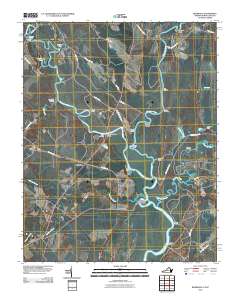 2010 Riverdale2010 Print · USGSThe Virginia and North Carolina borderlands come alive in this map of the river-heavy terrain around the Chowan and Nottoway rivers. Genealogists and historians can trace numerous riverfront landmarks and small settlements like Riddicksville, Cobbs Wharf, and Wyanoke.
 - 2010 Map of Woodland, 2010 Print
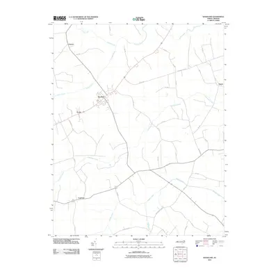 2010 Woodland2010 Print · USGSWoodland and its surrounding hamlets sit amidst the winding wetlands of Northampton County in this 2010 survey. Researchers can trace the drainage of Urahaw Swamp and Potecasi Creek or locate local landmarks along Jim Hardy Rd and Menola Rd.
 - 2010 Map of Valhalla, 2010 Print
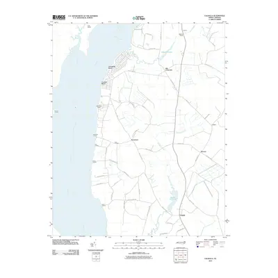 2010 Valhalla2010 Print · USGSCoastal North Carolina river life is captured here during the first decade of the new millennium. Researchers can trace family-named points and historic water features like Nixon Cemetery, Bennett Mill Pond, and Rockyhock Landing.
 - 2010 Map of Union, 2010 Print
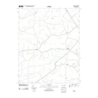 2010 Union2010 Print · USGSHertford County is shown at a time when small rural crossroads and named creek crossings still defined the local geography. Genealogists can trace family footprints near Saint John, Poor Town, and the historical Benthalls Bridge over Potecasi Creek.
 - 2010 Map of Mintonsville, 2010 Print
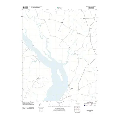 2010 Mintonsville2010 Print · USGSThe riverfront of Gates County is captured here in the early twenty-first century, showing a landscape defined by the Chowan River and its many creek systems. Researchers can trace the heritage of local commerce and navigation at Cannon Ferry, Woodleys Wharf, and the many landings along Bennetts Creek.
 - 2010 Map of Harrellsville, 2010 Print
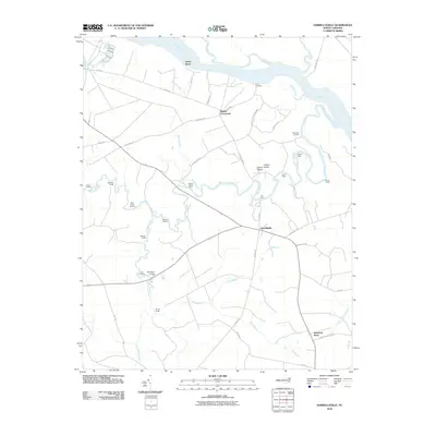 2010 Harrellsville2010 Print · USGSHarrellsville and the Chowan River lowlands are captured here in the early twenty-first century, showing a landscape defined by historic water travel. Researchers can trace numerous old river landings and crossings, including Brick Cellar Landing, the Boone Harrell Ferry, and Pettys Shore.
 - 2010 Map of Gatesville, 2010 Print
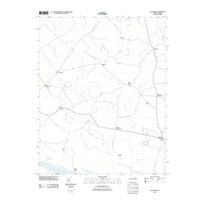 2010 Gatesville2010 Print · USGSGatesville and the rural corners of Gates County are captured here in the early twenty-first century. Researchers can trace family ties and local geography through landmarks like the Eure Post Office, the Chowan River shoreline at Rays Beach, and numerous junctions like Ballard Crossroads.
 - 2010 Map of Winton, 2010 Print
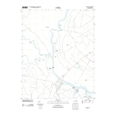 2010 Winton2010 Print · USGSHertford County river life is captured here in the early twenty-first century, centered on the historic town of Winton. Genealogists and local historians can trace old river crossings like Parkers Ferry and Jones Ferry, or find the Askew Cemetery and Harrells Mill.
 - 2010 Map of Powellsville, 2010 Print
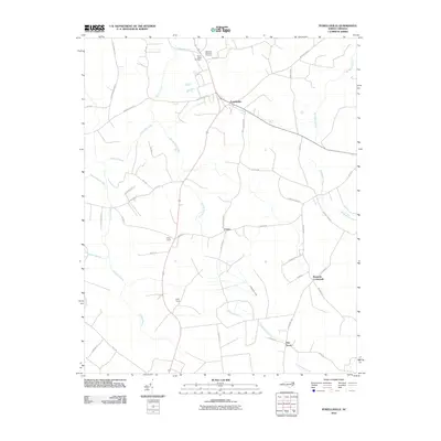 2010 Powellsville2010 Print · USGSCoastal plain settlements and winding swamp networks define Bertie County in this recent survey. Local historians can trace family-named routes and community sites like Buzzards Crossroads, Elm Grove, and the Highland Memorial Cemetery.
 - 2010 Map of Conway, 2010 Print
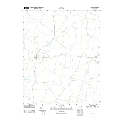 2010 Conway2010 Print · USGSNorthampton County coastal plain communities are captured here in the early 2000s as they are today. Genealogists and local historians can trace family locations near Nebo Church Cemetery, Doolittle Millpond, and the primary settlements of Conway and Milwaukee.
 - 2010 Map of Boykins, 2010 Print
 2010 Boykins2010 Print · USGSThe Virginia and North Carolina borderlands come to life in this detailed 2010 study. Genealogists and historians can trace family-named routes and community centers like Beechwood Cemetery, Boykins, and the rural settlement of Shiloh.
 - 2010 Map of Murfreesboro, 2010 Print
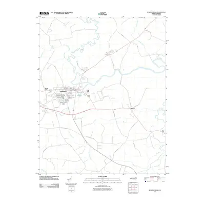 2010 Murfreesboro2010 Print · USGSHertford County at the start of the 2010s shows a landscape where historic river landings meet a modern university campus. Researchers can trace local landmarks like McDowell Columns Hall and the banks of Worrell Millpond and the Meherrin River.
 - 2010 Map of Aulander, 2010 Print
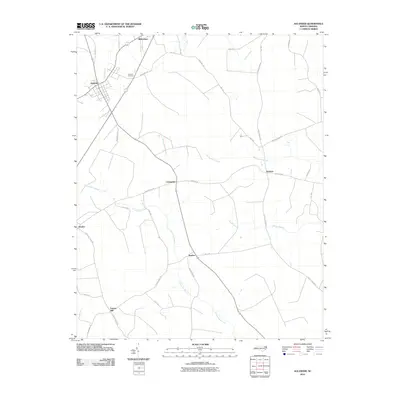 2010 Aulander2010 Print · USGSBertie County's rural crossroads and lowlands are captured here in the early 2000s, showing a landscape shaped by farming and winding wetlands. Researchers can locate family-named landmarks and small settlements like Millennium, Hexlena, and the Eastview Cemetery.
 - 2010 Map of Kelford, 2010 Print
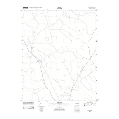 2010 Kelford2010 Print · USGSThe interconnected towns of Roxobel and Kelford are captured in the early twenty-first century, showcasing a landscape shaped by the Cashie River and its surrounding wetlands. Researchers can trace family sites near the Roxobel-Kelford Cemetery or explore old transport routes like Harrells Siding Rd.
 - 2010 Map of Colerain, 2010 Print
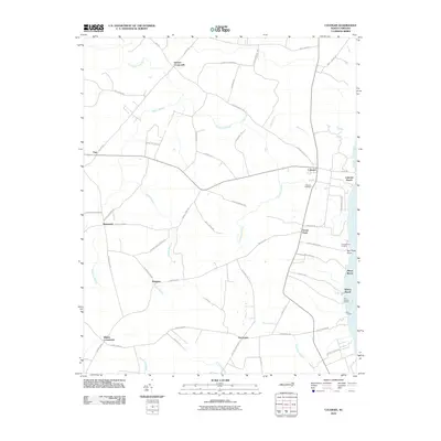 2010 Colerain2010 Print · USGSCoastal North Carolina's riverfront and swamp interior are mapped here during the early twenty-first century. Researchers can trace rural lineages through family-named landmarks and settlements like Glovers Crossroads, Trap, and the riverfront at Colerain Beach.
 - 2010 Map of Ahoskie, 2010 Print
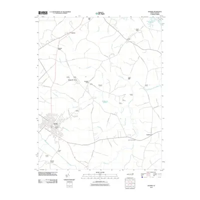 2010 Ahoskie2010 Print · USGSHertford County at the start of the twenty-first century reveals a landscape of rural hamlets and deep coastal swamps. Genealogists and local researchers can trace family landmarks across the quadrangle, from Brantleys Grove to the numerous burial sites like Hillcrest Cemetery and Jenkins Cemetery.
 - 2010 Map of Sunbeam, 2010 Print
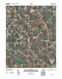 2010 Sunbeam2010 Print · USGSCoastal plain settlements on the Virginia-North Carolina border are captured here at the start of the 2010s. Genealogists and local historians can trace family locations near Newsoms, Hollywood Cemetery, and the Como Post Office along the Meherrin River.
 - 2013 Map of Aulander, 2013 Print
 2013 Aulander2013 Print · USGSThe coastal plain of Bertie County is shown here in the early 21st century, centered on the historic crossroads of Aulander. Researchers can trace the layout of small rural communities like Millennium, Hexlena, and Burden amidst the reaches of Beaverdam Swamp.
 - 2013 Map of Woodland, 2013 Print
 2013 Woodland2013 Print · USGSNorthampton County's coastal plain is documented here in the early 2010s, showing a landscape shaped by rural towns and deep wetlands. Researchers can trace the layout of Woodland streets or locate outlying communities like Menola, Potecasi, and George.
 - 2013 Map of Kelford, 2013 Print
 2013 Kelford2013 Print · USGSBertie County at the start of the 2010s reveals a landscape defined by its rural settlements and significant wetlands. Genealogists and researchers can trace the neighborhoods of Kelford and Roxobel or locate landmarks along Wahtom Swamp and the Cashie River.
 - 2013 Map of Conway, 2013 Print
 2013 Conway2013 Print · USGSCoastal plain settlements and extensive wetland systems characterize this part of Northampton County in the early twenty-first century. Genealogists and local historians can trace family land via Gilmer Ricks Rd, locate the waters of Doolittle Millpond, or explore the rural hubs of Conway and Milwaukee.
 - 2013 Map of Union, 2013 Print
 2013 Union2013 Print · USGSHertford County is shown in the early twenty-first century as a landscape of crossroads communities and winding coastal plain waterways. Researchers can trace family sites and road networks around Saint John, Poor Town, and the swampy reaches of Buffalo Island.
 - 2013 Map of Murfreesboro, 2013 Print
 2013 Murfreesboro2013 Print · USGSHertford County at the start of the 2010s reveals a community deeply tied to its riverine roots and rural crossroads. Local historians can trace the growth of Murfreesboro and find outlying landmarks like Worrell Millpond, Shell Landing, and Barretts Crossroads.
 - 2013 Map of Winton, 2013 Print
 2013 Winton2013 Print · USGSHertford County river life is detailed here in the early twenty-first century, centered on the bend of the Chowan River. Researchers can trace old family sites and river access points like Pipkin Place, Mitchell Landing, and the settlement of Bartonsville.
 - 2013 Map of Gatesville, 2013 Print
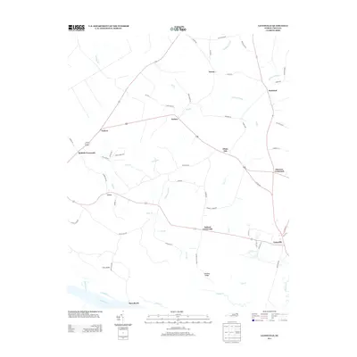 2013 Gatesville2013 Print · USGSThe rural landscape of Gates County appears here in the early 21st century, centered on the county seat and its surrounding crossroads. Researchers can trace family-named landmarks and old watercourses such as Buckland Mill Br, Sarem, and Fort Island.
Showing maps 1-25 of 67
Top cities of Hertford County
- Ahoskie historical maps
- Murfreesboro historical maps
- Winton historical maps
- Cofield historical maps
- Harrellsville historical maps
- Como historical maps
Frequently asked questions
- What are the different types of historical maps available for Hertford County?
- What is the oldest map of Hertford County?
- Where can I purchase historical maps of Hertford County for my home or office?
- Where can I download high-res historical maps of Hertford County?
- Are there historical topographic maps available for Hertford County?
- Is there historical aerial imagery available for Hertford County?
- Where are historical maps of Hertford County sourced from?