2010s Maps of Martin County, North Carolina
Explore 68 historic maps of Martin County from the 2010s. These maps offer a rare glimpse into what life looked like during the 2010s — showing old roads, neighborhoods, homes, and landmarks that have changed or disappeared over time.
Whether you're researching your family's past, planning a metal detecting trip, or studying how Martin County's landscape evolved across the 2010s, these high-resolution maps are a powerful tool for exploring the history of this region.
- Focus on a specific era: All maps on this page are from the 2010s, giving you a focused view of this time period.
- See what’s changed: Compare century-old streets, trails, and buildings to today's modern landscape using overlays and satellite layers.
- Research with precision: Use these maps for genealogy, historical research, land use analysis, or educational projects.
- View, download, or print: Maps are fully viewable online in high resolution, and can be downloaded or printed for your own records.
Start exploring Martin County's history through authentic maps from the 2010s. This is your window into the past.
Martin County, NC maps
(68)- 2010 Map of Farmlife, 2010 Print
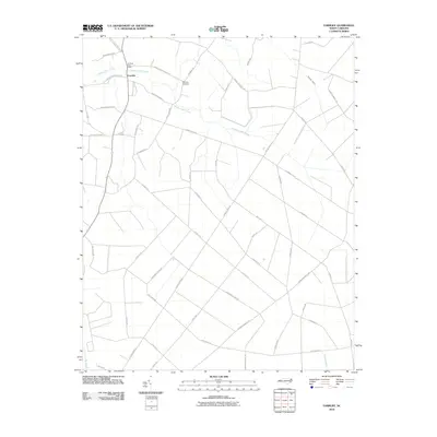 2010 Farmlife2010 Print · USGSMartin County's agricultural heartland is documented here in the early twenty-first century, showing a landscape defined by traditional family lands and swampy lowlands. Researchers can trace local lineage through the Manning Cemetery or follow the paths of J and W Tram Rd and Hardison Mill Creek.
 - 2010 Map of Windsor South, 2010 Print
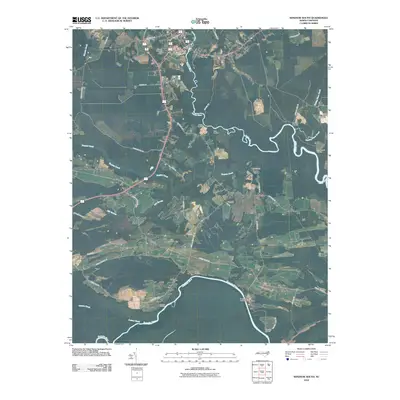 2010 Windsor South2010 Print · USGSCovers Martin County, including Windsor, Millers Store, and other nearby areas
 - 2010 Map of Jamesville, 2010 Print
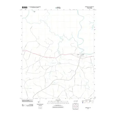 2010 Jamesville2010 Print · USGSThe Roanoke River settlement of Jamesville is captured here in the early twenty-first century, showing the enduring rural character of Martin County. Researchers can trace local history along Tar Landing and the Roanoke River, or find family landmarks like Fairview Church Rd.
 - 2010 Map of Hoke, 2010 Print
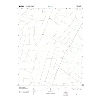 2010 Hoke2010 Print · USGSCoastal plain agriculture and swamp lands define this Washington County landscape as it appeared in the early twenty-first century. Researchers can trace rural lineages through local landmarks like Beachgrove, Angetown Rd, and the old logging route of Morris Tram Rd.
 - 2010 Map of Woodard, 2010 Print
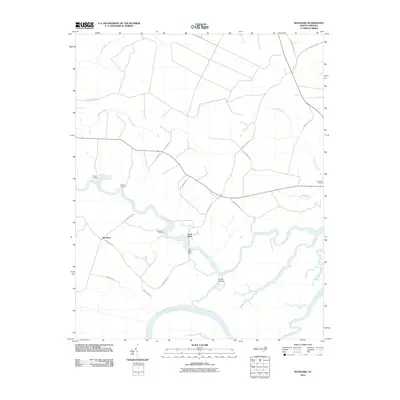 2010 Woodard2010 Print · USGSCoastal Bertie County is captured here in the early twenty-first century, defined by the winding paths of the Roanoke and Cashie rivers. Genealogists and local historians can locate long-standing river access points like Jacocks Landing and the iconic Sans Souci Ferry.
 - 2010 Map of Plymouth West, 2010 Print
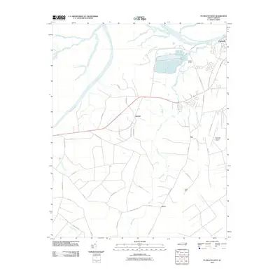 2010 Plymouth West2010 Print · USGSWashington County at the start of the decade shows a landscape shaped by the Roanoke River and the industrial corridors near Plymouth. Genealogists and local historians can trace family-named routes and small communities like Dardens, Ren, and Hinson among the expansive reaches of Cooper Swamp.
 - 2010 Map of Hobgood, 2010 Print
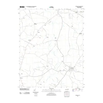 2010 Hobgood2010 Print · USGSThe rural crossroads and family homesteads of Halifax County are captured here in the early twenty-first century. Genealogists can trace family burial sites like Leggett House Cemetery and Hogun Cemetery or locate historic hubs at Mullins Crossroads and Hobgood.
 - 2010 Map of Williamston, 2010 Print
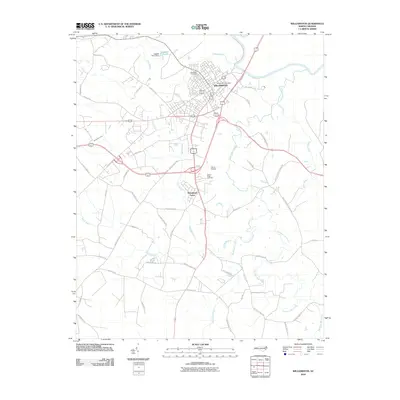 2010 Williamston2010 Print · USGSWilliamston sits along the Roanoke River at the start of the 2010s, surrounded by a network of creeks and wetlands. Researchers can trace local landmarks like Woodlawn Cemetery, the Harris Airport, and rural drainages such as Back Swamp.
 - 2010 Map of Speed, 2010 Print
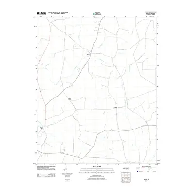 2010 Speed2010 Print · USGSEdgecombe County in the early 2000s remains a landscape of deep agricultural roots and quiet crossroads communities. Genealogists and local historians can trace family farm names and old routes connecting Speed, Shiloh Mills, and Piney Grove along the banks of Conetoe Creek.
 - 2010 Map of Robersonville East, 2010 Print
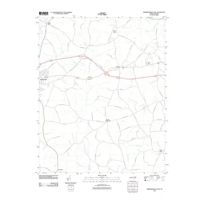 2010 Robersonville East2010 Print · USGSThe eastern reaches of Martin County are shown here in the early twenty-first century as a landscape of rural crossroads and extensive coastal swamps. Researchers can trace local history through settlements like Gold Point, Everetts, and the aptly named Church Crossroads.
 - 2010 Map of Quitsna, 2010 Print
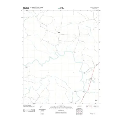 2010 Quitsna2010 Print · USGSBertie County's river-dependent landscape is documented here in the early twenty-first century, showing the enduring geography of the Roanoke River. Genealogists and historians can trace old river access points like Spellers Ferry Landing and Poplar Point Landing alongside the inland crossroads of Grabtown.
 - 2010 Map of Robersonville West, 2010 Print
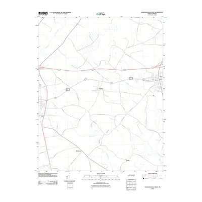 2010 Robersonville West2010 Print · USGSCoastal plain settlements like Parmele and Whitehurst are documented here during a period of modern agricultural stability. Researchers can trace local heritage through landmarks like Flat Swamp Church Rd and the drainage of Briery Swamp.
 - 2010 Map of Leggetts Crossroads, 2010 Print
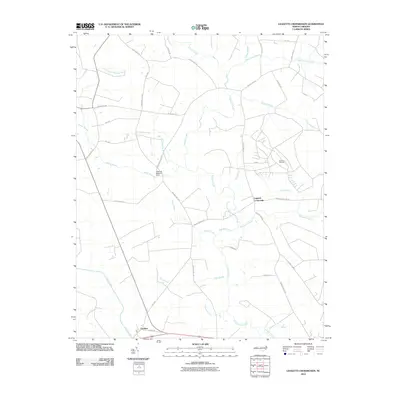 2010 Leggetts Crossroads2010 Print · USGSCoastal plain settlements and broadcasting history intersect in this 2010 survey of the Beaufort County area. Genealogists can trace family-named routes like Tucker Bullock Rd and Coy Forbes Rd near the Voice of America site.
 - 2010 Map of Lewiston Woodville, 2010 Print
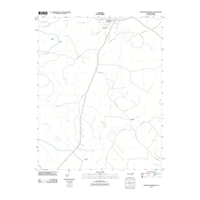 2010 Lewiston Woodville2010 Print · USGSBertie County in the early twenty-first century remains a landscape of river landings and rural crossroads. Local historians can trace old property lines and routes near Lewiston Woodville, Apple Tree Landing, and the quiet settlement of Cahaba.
 - 2010 Map of Palmyra, 2010 Print
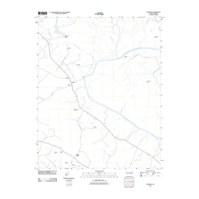 2010 Palmyra2010 Print · USGSCoastal plain heritage and riverfront life are preserved here during the first decade of the 2000s. Researchers can trace ancestral sites across several family plots like Fields Cemetery or locate old transit points such as Hills Ferry and Devereaux Landing.
 - 2010 Map of Old Ford, 2010 Print
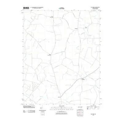 2010 Old Ford2010 Print · USGSBeaufort County settlement at the turn of the decade is centered on historic rural hubs like Old Ford and Stallings Crossroads. Researchers can trace family-named sites such as Tices Community Cemetery and the many reaches of Big Swamp.
 - 2010 Map of Hamilton, 2010 Print
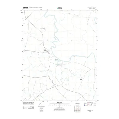 2010 Hamilton2010 Print · USGSCoastal North Carolina at the turn of the decade is defined here by the river-bend settlement of Hamilton and the surrounding Martin County wetlands. Genealogists and researchers can trace local family landmarks and waterways from Cocks Landing to the Huskanaw Swamp and Rainbow Pond.
 - 2010 Map of Oak City, 2010 Print
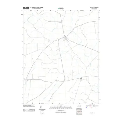 2010 Oak City2010 Print · USGSMartin County's agricultural and wetland landscape is captured here in the early twenty-first century, centered on the junction at Oak City. Genealogists and local historians can trace family-named routes like Mayo Farm Rd and Gainer Ln near Conoho and Hassell.
 - 2013 Map of Lewiston Woodville, 2013 Print
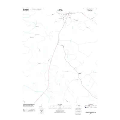 2013 Lewiston Woodville2013 Print · USGSBertie County's river-fed landscapes are documented here in the early twenty-first century, showing the intersection of local history and modern hydrology. Genealogists and historians can trace family-named routes and old river access points like Apple Tree Landing, Flag Run Landing, and the settlement of Cahaba.
 - 2013 Map of Oak City, 2013 Print
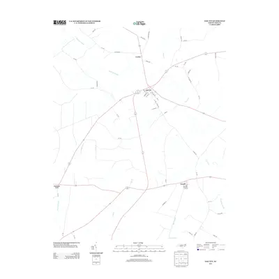 2013 Oak City2013 Print · USGSMartin County's rural landscape is captured here in the early twenty-first century, centered on the crossroads community of Oak City. Genealogists and local historians can trace the roads and waterways connecting Hassell, Conoho, and the wetlands of Etheridge Swamp.
 - 2013 Map of Leggetts Crossroads, 2013 Print
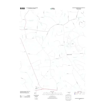 2013 Leggetts Crossroads2013 Print · USGSCoastal plain wetlands and rural crossroads define this Beaufort County landscape in the early twenty-first century. Researchers can trace land tracts near Leggetts Crossroads or the large Voice of America facility, alongside tributaries like Tranters Cr and Horsepen Swamp.
 - 2013 Map of Old Ford, 2013 Print
 2013 Old Ford2013 Print · USGSIn the early twenty-first century, this part of coastal North Carolina remained a patchwork of crossroads settlements and lowland swamps. Trace family landmarks and local hubs like Old Ford, Stallings Crossroads, and Hardison Mill Cr.
 - 2013 Map of Quitsna, 2013 Print
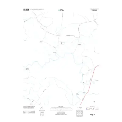 2013 Quitsna2013 Print · USGSBertie County's riverfront comes into focus in the early 2010s, showing the deep-seated connection between the land and the water. Genealogists and local historians can trace family-named landings and settlements like Grabtown, Spellers Ferry Landing, and Quitsna.
 - 2013 Map of Speed, 2013 Print
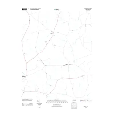 2013 Speed2013 Print · USGSEdgecombe County's agricultural and rail-connected landscape is documented here in the early twenty-first century. Genealogists and local historians can trace family-named routes and old settlements like Shiloh Mills, Coakley, and Piney Grove.
 - 2013 Map of Robersonville East, 2013 Print
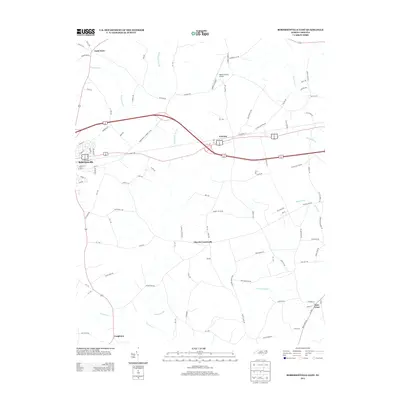 2013 Robersonville East2013 Print · USGSRobersonville and the surrounding Martin County swamplands are shown in this modern survey of the coastal plain. Genealogists and local historians can trace the road networks connecting Gold Point, Everetts, and Bear Grass alongside the waters of Huskanaw Swamp.
Showing maps 1-25 of 68
Top cities of Martin County
- Williamston historical maps
- Robersonville historical maps
- Hamilton historical maps
- Jamesville historical maps
- Oak City historical maps
- Parmele historical maps
See more
Frequently asked questions
- What are the different types of historical maps available for Martin County?
- What is the oldest map of Martin County?
- Where can I purchase historical maps of Martin County for my home or office?
- Where can I download high-res historical maps of Martin County?
- Are there historical topographic maps available for Martin County?
- Is there historical aerial imagery available for Martin County?
- Where are historical maps of Martin County sourced from?