2020s Maps of Moore County, North Carolina
Explore 23 historic maps of Moore County from the 2020s. These maps offer a rare glimpse into what life looked like during the 2020s — showing old roads, neighborhoods, homes, and landmarks that have changed or disappeared over time.
Whether you're researching your family's past, planning a metal detecting trip, or studying how Moore County's landscape evolved across the 2020s, these high-resolution maps are a powerful tool for exploring the history of this region.
- Focus on a specific era: All maps on this page are from the 2020s, giving you a focused view of this time period.
- See what’s changed: Compare century-old streets, trails, and buildings to today's modern landscape using overlays and satellite layers.
- Research with precision: Use these maps for genealogy, historical research, land use analysis, or educational projects.
- View, download, or print: Maps are fully viewable online in high resolution, and can be downloaded or printed for your own records.
Start exploring Moore County's history through authentic maps from the 2020s. This is your window into the past.
Moore County, NC maps
(23)- 2022 Map of Spies, 2022 Print
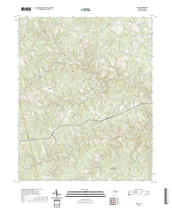 2022 Spies2022 Print · USGSMoore County's rural character is preserved in this recent survey of the region's rolling creek valleys and family-named roads. Trace local history through the Shamburger Cem and the small communities of Dover, Spies, and West Philadelphia.
 - 2022 Map of Robbins, 2022 Print
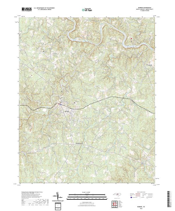 2022 Robbins2022 Print · USGSMoore County's Piedmont landscape is captured here in the early 2020s, centered on the historic community of Robbins. Genealogists and local historians can locate legacy sites like New Zion Hill Cem, Garners Store, and a Gold Mine along the winding Deep River.
 - 2022 Map of Overhills, 2022 Print
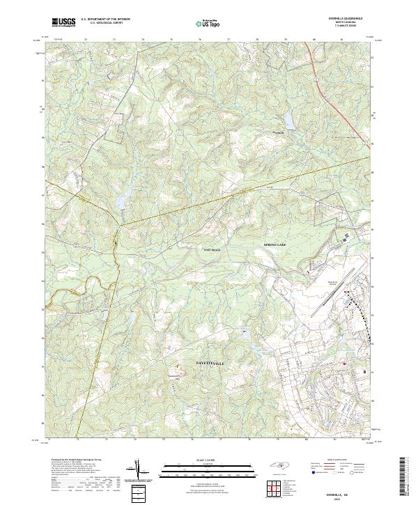 2022 Overhills2022 Print · USGSThe crossroads where Cumberland, Harnett, Hoke, and Moore counties meet are captured here during a period of steady military and suburban growth. Researchers can trace family names along McRae Ridge Rd or explore the hydrography of McFayden Pond and Pope Army Airfield.
 - 2022 Map of West End, 2022 Print
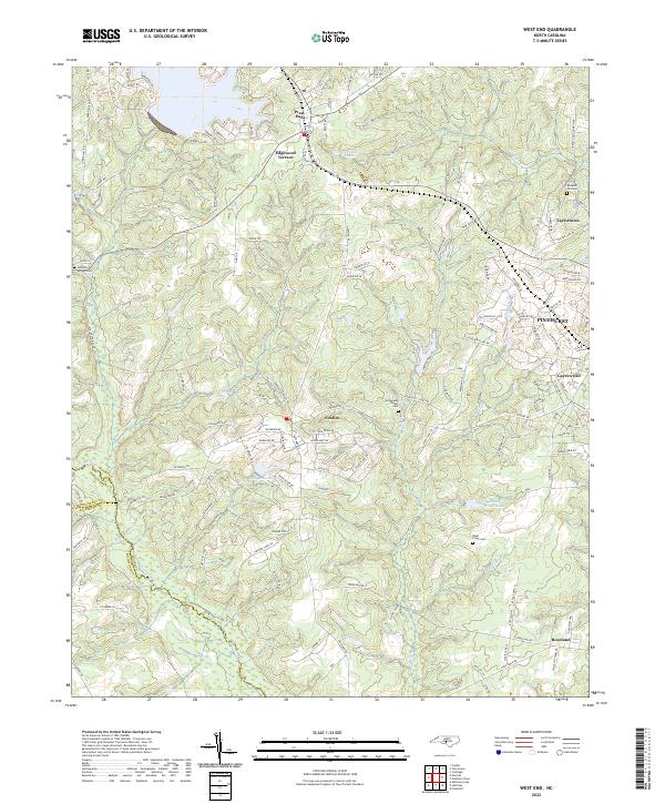 2022 West End2022 Print · USGSThe Moore County Sandhills are captured here in the early twenty-first century, showing the growth of West End and Pinehurst. Trace local family history at Jackson Springs Cem or follow the waters of Drowning Creek.
 - 2022 Map of Star, 2022 Print
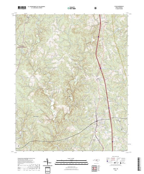 2022 Star2022 Print · USGSThe rural communities of central North Carolina thrive here in the 2020s, centered around the railroad and airfield. Genealogists and historians can trace family locations near the New Hope Baptist Church Cem, Allen Cem, and the settlement of Okeewemee.
 - 2022 Map of Norman, 2022 Print
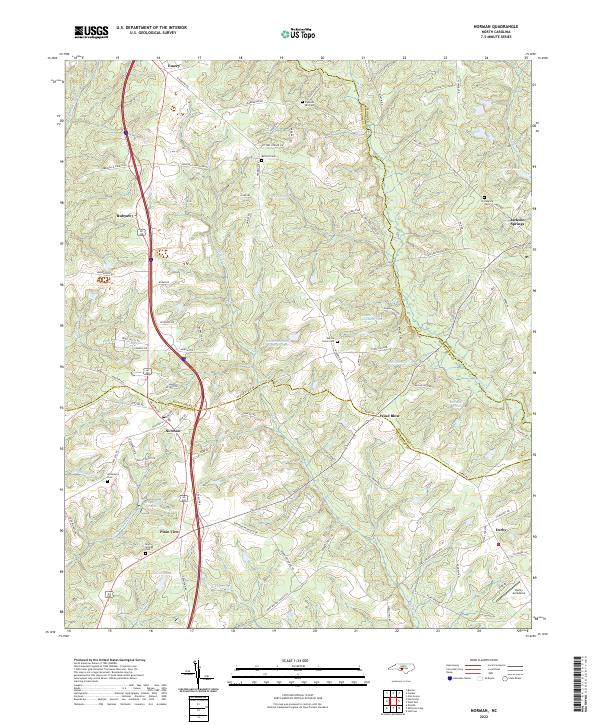 2022 Norman2022 Print · USGSThe crossroads of Richmond, Montgomery, and Moore counties are captured here in the early 2020s. Researchers can trace ancestral sites at Providence Cem or Gum Springs Cem and locate landmarks like the Derby Aerodome and Norman.
 - 2022 Map of Putnam, 2022 Print
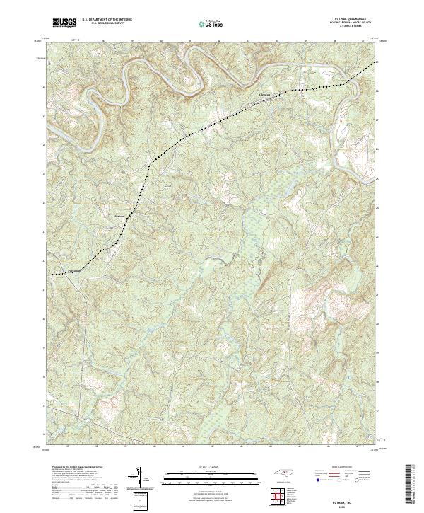 2022 Putnam2022 Print · USGSIn the Moore County countryside during the early 2020s, rural life is centered around winding waterways and ancestral road networks. Genealogists and local historians can trace family-named routes like Kelly Plantation Rd and Coles Mill Rd between Glendon and Putnam.
 - 2022 Map of Hoffman, 2022 Print
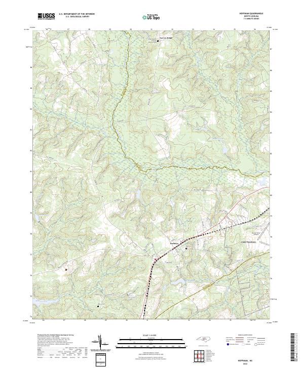 2022 Hoffman2022 Print · USGSIn the Sandhills of the early twenty-first century, the area around Hoffman remains a landscape of military aviation and quiet rural communities. Researchers can trace local lineage at Watson Cem or explore the hydrography of McKinney Lake and Drowning Cr.
 - 2022 Map of White Hill, 2022 Print
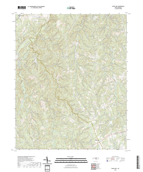 2022 White Hill2022 Print · USGSThe rural borderlands of Moore and Lee Counties come into focus in the early 2020s, showing a landscape shaped by the Deep River and White Hill. Researchers can trace old family lands along Little Governors Cr and the drainage of Winding Cr Lake.
 - 2022 Map of Candor, 2022 Print
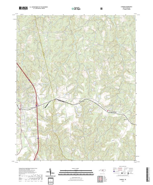 2022 Candor2022 Print · USGSThe Moore and Montgomery county line comes alive in this study of the Sandhills region, showing Candor and Eagle Springs as they appeared recently. Researchers can trace family-named sites like McCauley Pond or locate Center Baptist Church.
 - 2022 Map of Niagara, 2022 Print
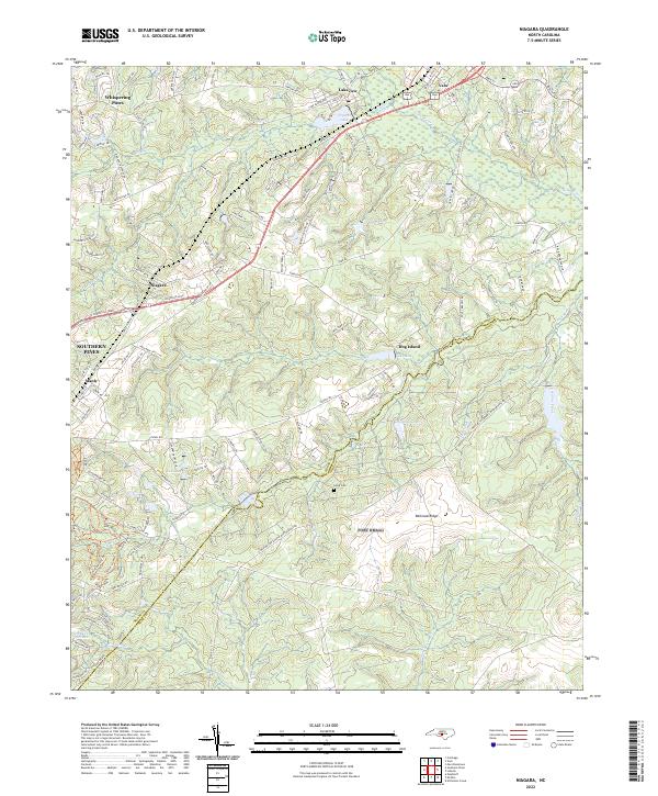 2022 Niagara2022 Print · USGSThe Moore County Sandhills come into focus here in the early 2020s, showing a landscape defined by golf-adjacent residential growth and traditional southern hamlets. Genealogists and researchers can trace the area surrounding Goins Cem or follow the rail-aligned history of Niagara and Manly.
 - 2022 Map of Carthage, 2022 Print
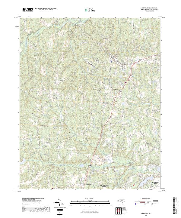 2022 Carthage2022 Print · USGSCarthage and its surrounding Moore County communities are captured in the early 2020s, showing a mix of historic municipal centers and modern residential growth. Researchers can trace local landmarks like the Moore County Courthouse or locate smaller airfields including Gilliam-McConnell Airfield and Tobacco Road Airport.
 - 2022 Map of Lobelia, 2022 Print
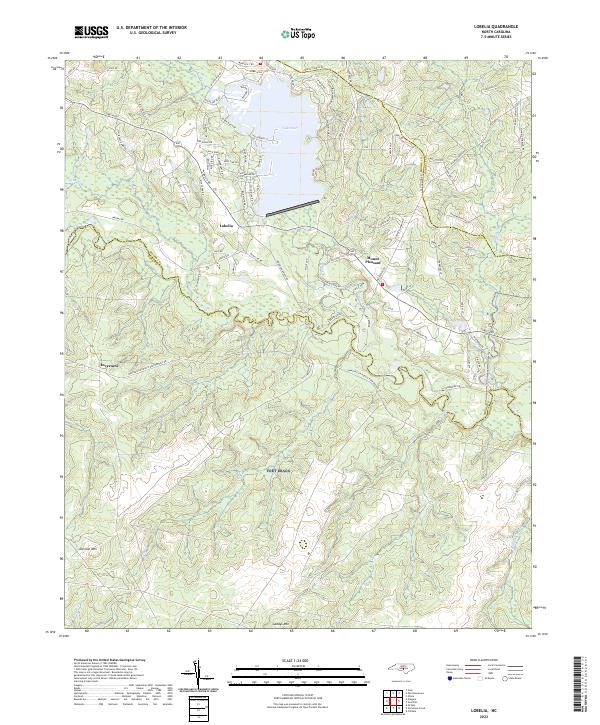 2022 Lobelia2022 Print · USGSThe rural Sandhills country at the meeting of Moore, Harnett, and Hoke counties comes into focus in this early twenty-first-century survey. Genealogists and researchers can trace local family landholdings along Lobelia Rd and near Lake Surf or the banks of the Little River.
 - 2022 Map of Bennett, 2022 Print
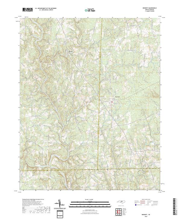 2022 Bennett2022 Print · USGSThe crossroads of Chatham, Randolph, and Moore counties are captured here in the early twenty-first century. Genealogists can trace family landmarks along Lambeth Mill Rd and Billy Brady Rd, or locate the legendary Devils Tramping Ground Rd.
 - 2022 Map of Vass, 2022 Print
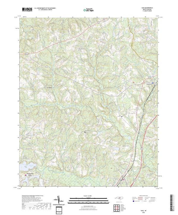 2022 Vass2022 Print · USGSThe Moore County Sandhills appear in modern detail, capturing the growth and rural character of central North Carolina. Genealogists and historians can trace family locations near the Henderson Cemetery, Johnson Grove Cemetery, and the historic town of Vass.
 - 2022 Map of Murchisontown, 2022 Print
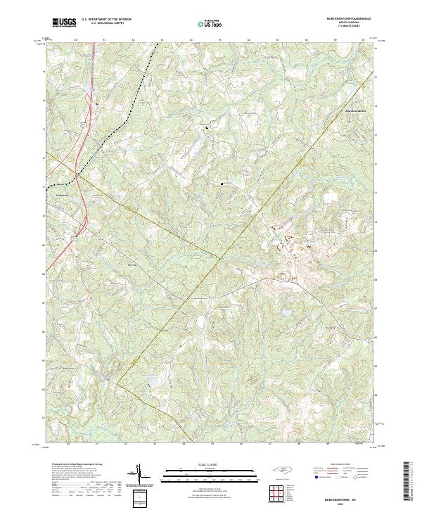 2022 Murchisontown2022 Print · USGSThe rural landscapes of the Carolina Sandhills come into focus here, where Moore, Lee, and Harnett counties meet. Researchers can trace ancestral sites and small settlements including Murchisontown, Cameron, and family plots like McQueen Cem and Pierce Cem.
 - 2022 Map of Southern Pines, 2022 Print
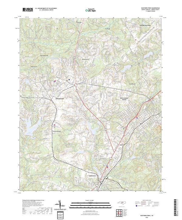 2022 Southern Pines2022 Print · USGSMoore County's sandhills country is shown here during a period of significant residential and institutional growth. Researchers can trace family sites near Mount Hope Cem and explore the development of Jackson Hamlet and Pinehurst.
 - 2022 Map of Zion Grove, 2022 Print
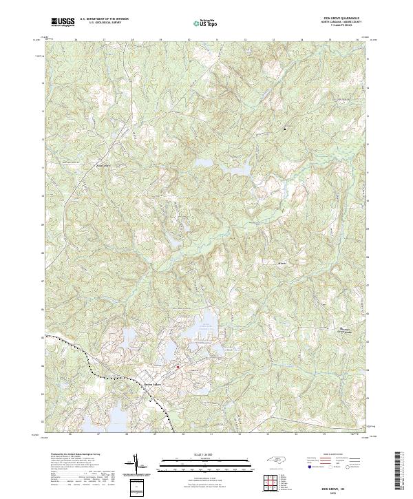 2022 Zion Grove2022 Print · USGSMoore County in the early twenty-first century reveals a landscape shaped by both traditional rural crossroads and modern lakeside communities. Genealogists and local historians can trace the areas around Zion Grove and Harris, or locate family sites near Scott Cem and the Little River.
 - 2022 Map of Pinebluff, 2022 Print
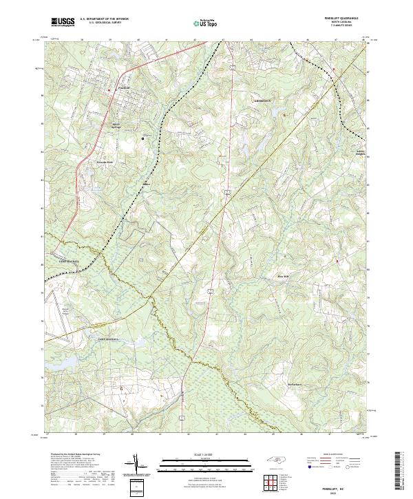 2022 Pinebluff2022 Print · USGSThe Sandhills region at the Moore and Richmond county line comes into focus in the early 2020s. Genealogists can locate family sites near Silver Springs Cem or trace the rural reach of Addor and McFarland along the banks of Drowning Cr.
 - 2022 Map of Erect, 2022 Print
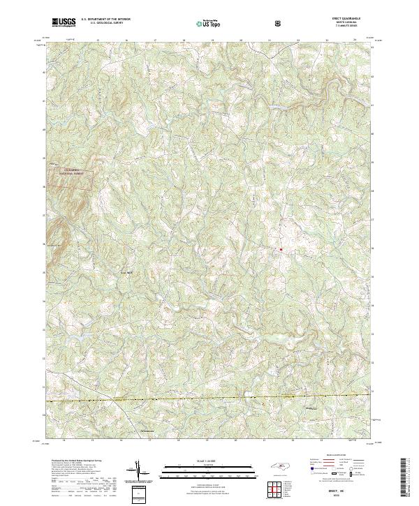 2022 Erect2022 Print · USGSRandolph and Moore counties are captured here in the early 2020s, showing a Piedmont landscape defined by its creek-fed hollows and long-standing rural communities. Genealogists and historians can trace family-named routes and industrial remnants like Yow Mill, Lambert Mill Dam, and the pottery heritage near Jugtown.
 - 2022 Map of Seagrove, 2022 Print
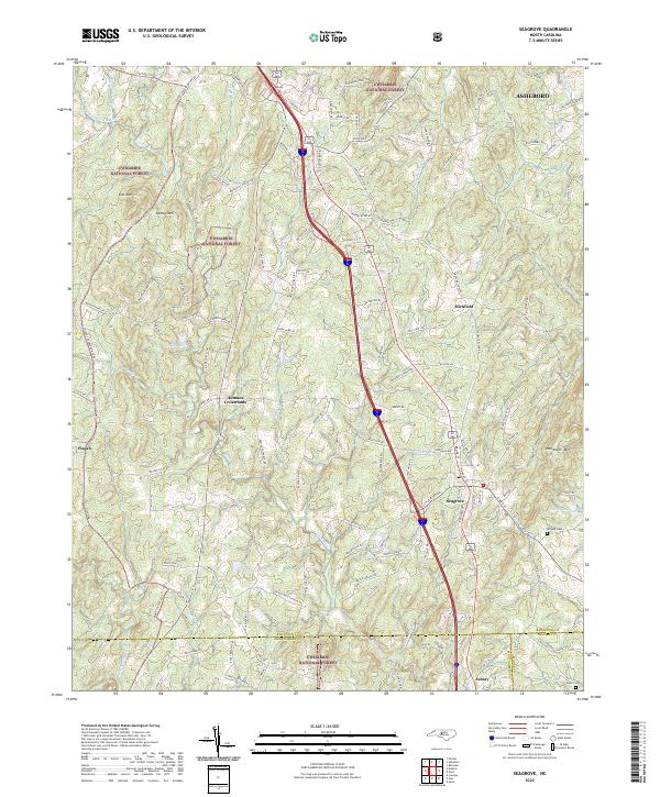 2022 Seagrove2022 Print · USGSThe pottery-rich corridor of Randolph County comes alive in this contemporary survey of Seagrove and the eastern Uwharrie National Forest. Researchers can trace old family routes and rural landmarks like the Whynot Cem, Aumans Crossroads, and Needhams Mtn.
 - 2022 Map of Goldston, 2022 Print
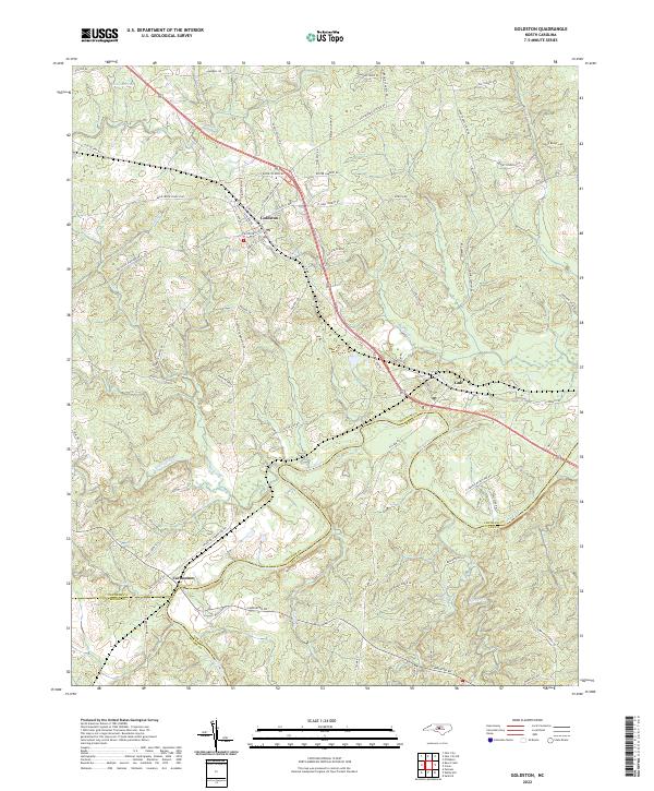 2022 Goldston2022 Print · USGSIn this modern survey of central North Carolina, the rural communities of Goldston and Carbonton are shown as they sit near the tri-county junction. Researchers can trace land patterns along the Deep River and find family-named landmarks like Alston House Rd and Tempting Church Rd.
 - 2022 Map of Bear Creek, 2022 Print
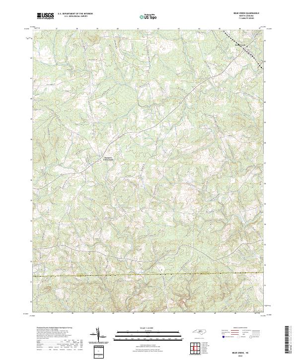 2022 Bear Creek2022 Print · USGSChatham and Moore counties are shown here in the 2020s, documenting a landscape of rural crossroads and family-named roads. Genealogists and local historians can trace the areas around Harpers Crossroads, Bear Creek, and the slopes of Pine Mtn.
End of results
Showing maps 1-23 of 23
Top cities of Moore County
- Pinehurst historical maps
- Southern Pines historical maps
- Aberdeen historical maps
- Seven Lakes historical maps
- Whispering Pines historical maps
- Carthage historical maps
See more
Frequently asked questions
- What are the different types of historical maps available for Moore County?
- What is the oldest map of Moore County?
- Where can I purchase historical maps of Moore County for my home or office?
- Where can I download high-res historical maps of Moore County?
- Are there historical topographic maps available for Moore County?
- Is there historical aerial imagery available for Moore County?
- Where are historical maps of Moore County sourced from?