2010s Maps of Moore County, North Carolina
Explore 89 historic maps of Moore County from the 2010s. These maps offer a rare glimpse into what life looked like during the 2010s — showing old roads, neighborhoods, homes, and landmarks that have changed or disappeared over time.
Whether you're researching your family's past, planning a metal detecting trip, or studying how Moore County's landscape evolved across the 2010s, these high-resolution maps are a powerful tool for exploring the history of this region.
- Focus on a specific era: All maps on this page are from the 2010s, giving you a focused view of this time period.
- See what’s changed: Compare century-old streets, trails, and buildings to today's modern landscape using overlays and satellite layers.
- Research with precision: Use these maps for genealogy, historical research, land use analysis, or educational projects.
- View, download, or print: Maps are fully viewable online in high resolution, and can be downloaded or printed for your own records.
Start exploring Moore County's history through authentic maps from the 2010s. This is your window into the past.
Moore County, NC maps
(89)- 2010 Map of West End, 2010 Print
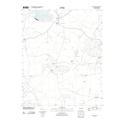 2010 West End2010 Print · USGSWest End and the Foxfire area are shown here during a period of residential development and local growth. Researchers can locate established burial grounds like Beaulah Hill Cemetery and trace landmarks such as the Foxfire Country Club Airpark.
 - 2010 Map of Murchisontown, 2010 Print
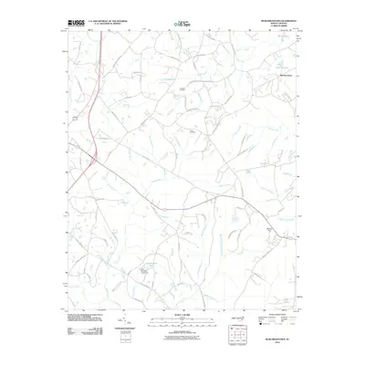 2010 Murchisontown2010 Print · USGSMurchisontown and the rural stretches of Moore County are shown here in the early twenty-first century, revealing a landscape defined by creeks and family lands. Researchers can trace local roots through landmarks like Johnson Cemetery, Pierce Cemetery, and Blue Brothers Pond.
 - 2010 Map of Zion Grove, 2010 Print
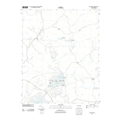 2010 Zion Grove2010 Print · USGSSeven Lakes and its surrounding Moore County settlements are captured here in the early twenty-first century. Genealogists and local historians can trace the development of Seven Lakes and find landmarks like Scott Cemetery and the Occoneechee Scout Reservation.
 - 2010 Map of White Hill, 2010 Print
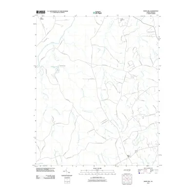 2010 White Hill2010 Print · USGSMoore County's rural landscape at the start of the millennium is defined by the winding course of the Deep River and the small communities of Haw Branch and White Hill. Researchers can trace local heritage along family-named routes like Gilliam Rd and identify water features such as Winding Creek Lake.
 - 2010 Map of Robbins, 2010 Print
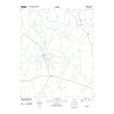 2010 Robbins2010 Print · USGSMoore County at the start of the twenty-first century reveals a landscape defined by the Deep River and the growing hub of Robbins. Researchers can trace local heritage through sites like New Zion Hill Cemetery, Garners Store, and the banks of Gold Mine Branch.
 - 2010 Map of Goldston, 2010 Print
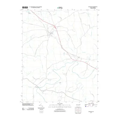 2010 Goldston2010 Print · USGSChatham County’s rural river country is captured here in the early twenty-first century, centered on the historic winding course of the Deep River. Researchers can trace local family landmarks and community hubs like Goldston, the riverfront at Gulf, and Gourley Dam.
 - 2010 Map of Bear Creek, 2010 Print
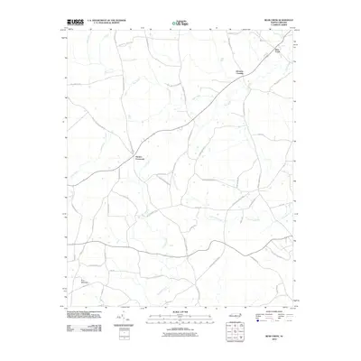 2010 Bear Creek2010 Print · USGSChatham County’s crossroads and rural communities are preserved in this 2010 survey of the North Carolina Piedmont. Genealogists and local historians can trace family-named landmarks and routes like Harpers Crossroads, Johnsons Crossing, and the legendary Devils Tramping Ground Rd.
 - 2010 Map of Hoffman, 2010 Print
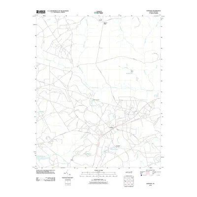 2010 Hoffman2010 Print · USGSHoffman and the surrounding Richmond County sandhills are captured here during the first decade of the 2000s. Researchers can trace the Seaboard Coast Line rail corridor or locate family landmarks like Blue Cemetery and Taylor Memorial Cemetery.
 - 2010 Map of Putnam, 2010 Print
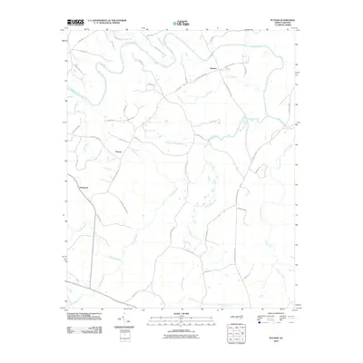 2010 Putnam2010 Print · USGSMoore County's rural heartland is documented in the early twenty-first century as small communities like Glendon and Putnam sit among the many tributaries of the Deep River. Researchers can trace old family lands and community sites via Kelly Plantation Rd, Putnam Church Rd, and Parkwood.
 - 2010 Map of Bennett, 2010 Print
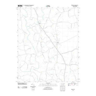 2010 Bennett2010 Print · USGSBennett and Cheeks are documented in the Piedmont of North Carolina during the early twenty-first century as the Deep River winds through a landscape of family-named roads. Genealogists can trace local lineages along Clint Caviness Rd, Joe Branson Rd, and Billy Brady Rd.
 - 2010 Map of Spies, 2010 Print
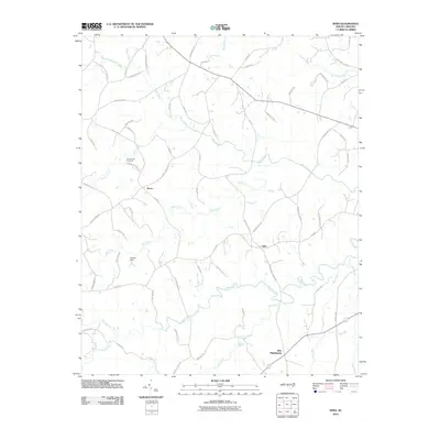 2010 Spies2010 Print · USGSMoore County's rural backcountry comes into focus at the start of the decade, showing a landscape defined by creeks and long-standing family settlements. Genealogists can trace rural roots through landmarks like the Shamburger Cemetery and crossroads such as Spies and West Philadelphia.
 - 2010 Map of Carthage, 2010 Print
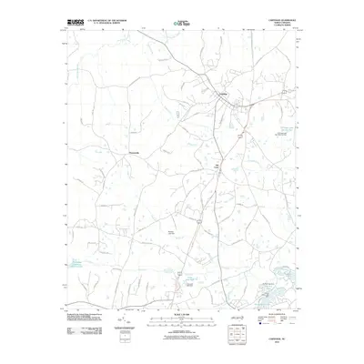 2010 Carthage2010 Print · USGSMoore County at the start of the twenty-first century reveals a landscape of historic crossroads and developed water resources. Genealogists and local historians can trace family-named routes and small communities like Pleasantville, Hill Crest, and the shores of Long Leaf Lake.
 - 2010 Map of Norman, 2010 Print
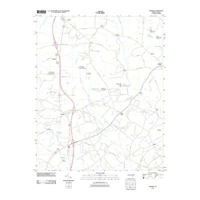 2010 Norman2010 Print · USGSThe rural landscape of Richmond County and its neighbors is captured here in the late 2000s, showing a network of historic stream crossings and family homesteads. Genealogists can trace local roots through Pleasant Hill Cemetery and Gum Springs Cemetery, or locate old settlements like Wind Blow and Derby.
 - 2010 Map of Southern Pines, 2010 Print
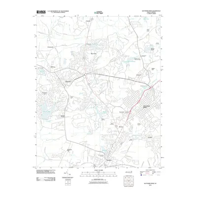 2010 Southern Pines2010 Print · USGSThe sandhills of Moore County come alive in this map from the early 21st century, showing the established hubs of Pinehurst and Southern Pines. Genealogists and historians can trace neighborhood growth near Mount Hope Cemetery or locate landmarks like the Pinehurst Trotting Track.
 - 2010 Map of Vass, 2010 Print
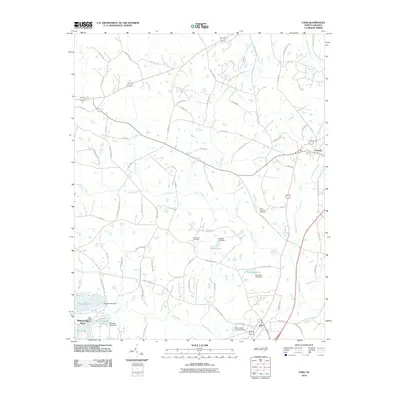 2010 Vass2010 Print · USGSMoore County at the start of the 2010s shows a landscape of growing residential communities and industrial remnants. Genealogists and local historians can trace family sites like Henderson Cemetery and the industrial infrastructure of Troy Lumber Company Dam.
 - 2010 Map of Pinebluff, 2010 Print
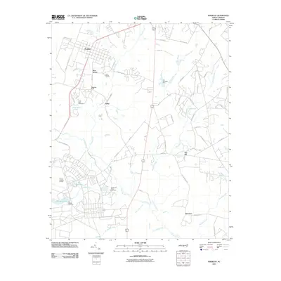 2010 Pinebluff2010 Print · USGSPinebluff and its neighboring settlements are shown in the early twenty-first century amidst a network of reservoirs and creeks. Genealogists can locate Silver Springs Cemetery, while researchers can trace the bounds of Mackall Auxiliary Airfield and the community of Addor.
 - 2011 Map of Seagrove, 2011 Print
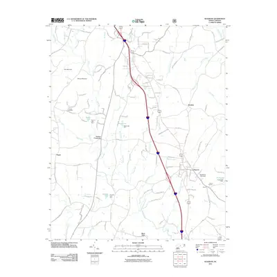 2011 Seagrove2011 Print · USGSSeagrove and its surrounding rural hamlets are documented here in the early 2000s as the community evolved alongside the Little River. Researchers can locate old family landmarks and burial sites such as Whynot Cemetery, Aumans Crossroads, and the interestingly named Black Ankle.
 - 2011 Map of Erect, 2011 Print
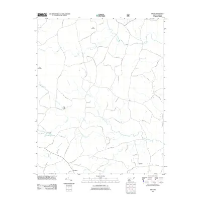 2011 Erect2011 Print · USGSThe rural communities of Jugtown and Erect are captured in this modern survey of Moore County's traditional pottery and milling country. Genealogists and historians can locate old industrial landmarks like Lambert Mill, Yow Mill, and the settlement of Westmore.
 - 2011 Map of Star, 2011 Print
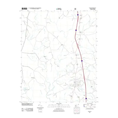 2011 Star2011 Print · USGSThe community of Star and its surrounding Piedmont countryside are documented here in the early twenty-first century. Researchers can trace family history at Allen Cemetery or explore industrial sites like Black Ankle Mine and the Montgomery County Airport.
 - 2011 Map of Candor, 2011 Print
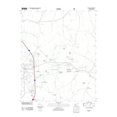 2011 Candor2011 Print · USGSThe Candor and Eagle Springs area of North Carolina is shown here in the early 2010s, capturing a landscape of family-owned ponds and rural townships. Trace local family history and land use through features like Center Baptist Church, McCauley Pond, and Elberta.
 - 2013 Map of Hoffman, 2013 Print
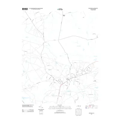 2013 Hoffman2013 Print · USGSThe North Carolina Sandhills come into sharp focus in this early twenty-first-century survey of the Hoffman area. Genealogists and historians can trace the intersection of the Seaboard St rail line with military landmarks like the Mackall Army Airfield and numerous local water bodies such as Crappie Lake.
 - 2013 Map of Vass, 2013 Print
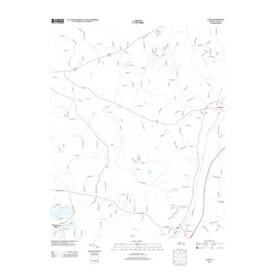 2013 Vass2013 Print · USGSThe rail-and-road corridor between Vass and Cameron is captured here in the early twenty-first century as the area transitioned toward modern residential growth. Researchers can trace local landmarks like Rooster Field Airport and the lakefront developments of Whispering Pines.
 - 2013 Map of Pinebluff, 2013 Print
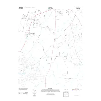 2013 Pinebluff2013 Print · USGSMoore County in the early 2010s shows a unique mix of small-town residency and significant military infrastructure. You can trace family locations near Silver Springs and Lincoln Park or explore the tactical layout of the Mackall Army Airfield.
 - 2013 Map of Norman, 2013 Print
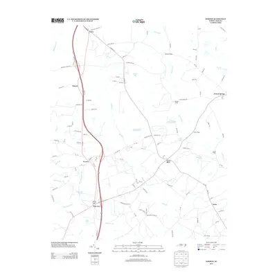 2013 Norman2013 Print · USGSThis rural portion of Richmond County is documented in the early twenty-first century, featuring a landscape defined by its creek crossings and small settlements. Researchers can trace the roads connecting Norman, Wind Blow, and Derby while locating landmarks like McKenzie Bridge.
 - 2013 Map of Murchisontown, 2013 Print
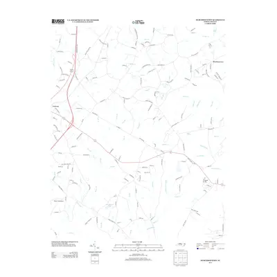 2013 Murchisontown2013 Print · USGSCameron and the surrounding Moore County countryside are shown here in the early twenty-first century, revealing a landscape of rural junctions and winding creeks. Genealogists and local historians can trace the paths of Johnson Cemetery Rd and locate landmarks like Murchisontown and Rooster Field Airport.
Showing maps 1-25 of 89
Top cities of Moore County
- Pinehurst historical maps
- Southern Pines historical maps
- Aberdeen historical maps
- Seven Lakes historical maps
- Whispering Pines historical maps
- Carthage historical maps
See more
Frequently asked questions
- What are the different types of historical maps available for Moore County?
- What is the oldest map of Moore County?
- Where can I purchase historical maps of Moore County for my home or office?
- Where can I download high-res historical maps of Moore County?
- Are there historical topographic maps available for Moore County?
- Is there historical aerial imagery available for Moore County?
- Where are historical maps of Moore County sourced from?