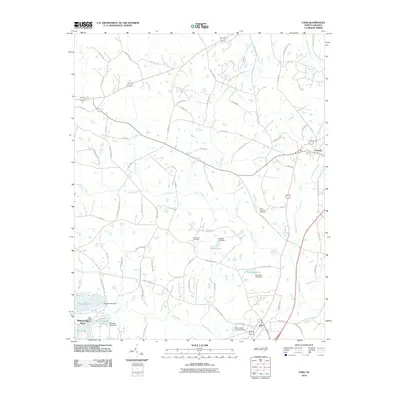
2010 Map of Vass
USGS Topo · Published 2010About this map
Vass and Cameron anchor this area of Moore County, where the landscape is defined by the headwaters of the Little River and a series of substantial dammed reservoirs. The southern portion of the map shows the residential expansion of Whispering Pines, organized around water bodies like Thagards Lake and Shadow Lake. This 2010 survey illustrates the transition from traditional lumber-related industry, represented by the Troy Lumber Company Dam, to a more suburban and recreational residential pattern.
Find a feature on this map
78 named features on this map. Tap any name to fly to it.
Don’t see what you’re looking for? This feature index may not catch every label — zoom into the map to look around manually.
Map Details
Editions of this 2010 Vass Map
This is the sole edition of this map. No revisions or reprints were ever made.
Other maps of this area

1948 · Southern Pines
USGS Topo · 1:62,500

1948 · Clifdale
USGS Topo · 1:62,500

1950 · Lobelia
USGS Topo · 1:24,000

1950 · Niagara
USGS Topo · 1:24,000

1950 · Southern Pines
USGS Topo · 1:24,000

1951 · Clifdale
USGS Topo · 1:62,500

1953 · Raleigh
USGS Topo · 1:250,000

1954 · Raleigh
USGS Topo · 1:250,000

1957 · Murchisontown
USGS Topo · 1:24,000

1957 · Southern Pines
USGS Topo · 1:62,500