Old Maps of Dortches, North Carolina for Metal Detecting
Plan your next treasure hunt with 33 historic maps of Dortches. Find old homesites, ghost towns, trails, and gathering spots that may be lost to time — perfect for identifying promising metal detecting locations.
- Locate forgotten sites: Uncover places like long-lost settlements, abandoned rail lines, or gathering spots.
- Plan better hunts: Use map overlays combined with LiDAR or satellite views to narrow in on historically rich areas.
- Made for detectorists: Thousands of hobbyists use these maps to discover relics, coins, and hidden history.
Use these historic maps to boost your research and find new opportunities beneath the surface of Dortches.
Dortches, NC maps
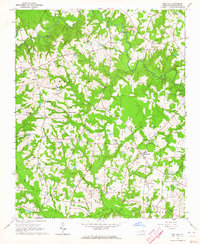
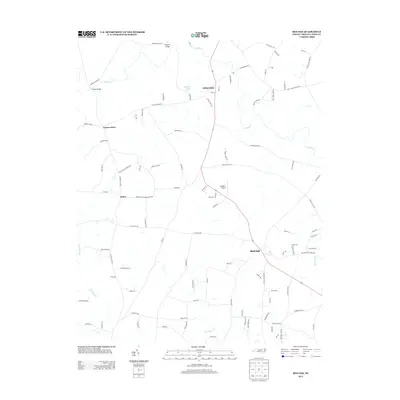
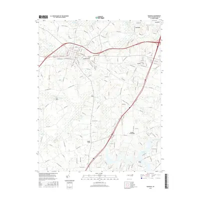
(33)- 1902 Map of Rocky Mount, 1965 Print
 1902 Rocky Mount1965 Print · USGSThe coastal plain of North Carolina comes alive in this early survey of the rail and river corridors between Nashville and Rocky Mount. Genealogists can trace early landmarks like Snells Crossroads, the Rocky Mount Mills, and Elm City.
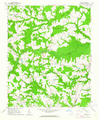
 - 1904 Map of Rocky Mount, 1942 Print
 1904 Rocky Mount1942 Print · USGSThe Tar River and the rail hubs of eastern North Carolina come alive in this early twentieth-century survey. Genealogists and local historians can trace the growth of Rocky Mount and Nashville, or locate vanished industrial landmarks like the Upper Falls Rocky Mount Mills and Finch Mill.
 - 1953 Map of Norfolk, 1954 Print
 1953 Norfolk1954 Print · USGSCoastal Virginia and northeastern North Carolina appear here during the post-war industrial boom, showing the critical rail-and-sea connections of Hampton Roads. Genealogists can trace family roots through rural landmarks like Gethsemane Ch, the Caledonia State Prison Farm, and the vast interior of the Dismal Swamp.4 unique versions available
 - 1953 Map of Rocky Mount, 1964 Print
 1953 Rocky Mount1964 Print · USGSEastern North Carolina in the mid-fifties is defined by its deep river basins and the vast wetlands of the Tidewater. Genealogists can trace family roots through hubs like Kinston and New Bern or explore the wilderness of Pettigrew State Park and Lake Mattamuskeet.4 unique versions available
 - 1954 Map of Rocky Mount
 1954 Rocky Mount1954 Print · USGSEastern North Carolina is mapped in the mid-fifties, showing a landscape of sounds, swamps, and steam-era rail lines. Genealogists can trace the rural road networks and rail spurs connecting towns like Tarboro, Greenville, and the remote Columbia.
 - 1963 Map of Red Oak, 1964 Print
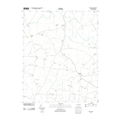
 1963 Red Oak1964 Print · USGSNash County rural life is captured here in the early sixties, showing a landscape of family farms and creek-side communities. Researchers can locate dozens of family burial grounds like Taylor Cem and old church sites including Mt Zion Chapel and Philadelphia Ch.
 - 1963 Map of Drake, 1964 Print
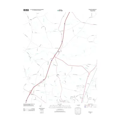
 1963 Drake1964 Print · USGSCoastal Plain farmland and swampy creek bottoms define this Nash County area in the early sixties. Genealogists can trace family names at Dozier Cem and Harper Cem or locate community hubs like Dortches, Drake, and North Carolina Wesleyan College.2 unique versions available
 - 1975 Map of Rocky Mount, 1978 Print
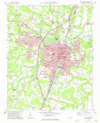
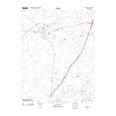
 1975 Rocky Mount1978 Print · USGSRocky Mount and the surrounding Nash County countryside are captured in this mid-1970s aerial survey. Local historians and genealogists can trace the footprint of the city alongside nearby settlements like Sharpsburg and Battleboro as they appeared decades ago.
 - 1977 Map of Nashville
 1977 Nashville1977 Print · USGSNash County in the late seventies is centered on the growing town of Nashville, where rail lines and regional schools meet the surrounding farmland. Researchers can trace rural lineages through numerous country churches and cemeteries, such as Taylors Chapel, Sapony Ch, and Oakland Cem.
 - 1977 Map of Rocky Mount
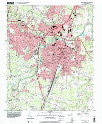
 1977 Rocky Mount1977 Print · USGSRocky Mount is captured in the late seventies as it expanded across the Nash and Edgecombe county lines. Researchers can trace neighborhood growth through Woodlawn and Sunset or locate local landmarks like Buck Leonard Park and the Drive-in Theater.
 - 1985 Map of Rocky Mount
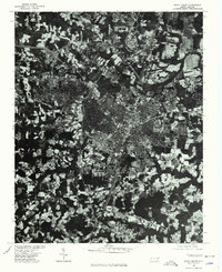
 1985 Rocky Mount1985 Print · USGSThe eastern North Carolina coastal plain in the mid-eighties shows a landscape defined by its river-and-rail heritage. Genealogists and local historians can trace the development of Rocky Mount, Greenville, and Wilson, or locate landmarks like East Carolina University and the Voice of America site.2 unique versions available
 - 1985 Map of Roanoke Rapids
 1985 Roanoke Rapids1985 Print · USGSNorthern North Carolina's river-driven economy is on display here in the mid-1980s, from the hydro-power at Roanoke Rapids to the rural millponds. Genealogists can trace family lands near Wiccacanee Pond, Mush Island, or the remote Urahaw Swamp.2 unique versions available
 - 1998 Map of Rocky Mount, 2000 Print
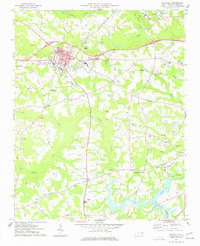
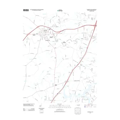
 1998 Rocky Mount2000 Print · USGSRocky Mount and its surrounding Nash County suburbs are seen here in the late nineties as the city expanded westward toward the hospital. Genealogists can trace community roots through numerous local churches like Dortches Ch and the residential streets of South Rocky Mount.
 - 2010 Map of Drake, 2010 Print
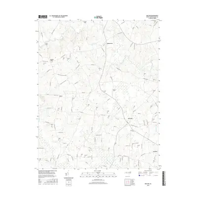
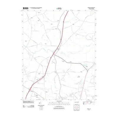 2010 Drake2010 Print · USGSCovers Dortches, including Rocky Mount, Red Oak, and other nearby areas
 - 2010 Map of Rocky Mount, 2010 Print
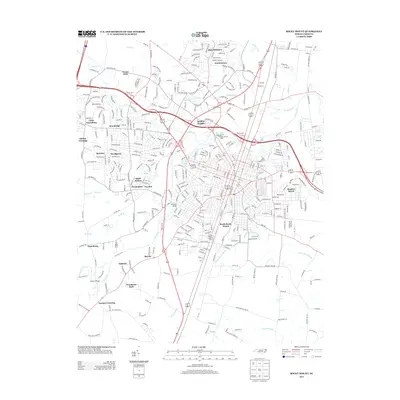
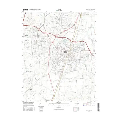
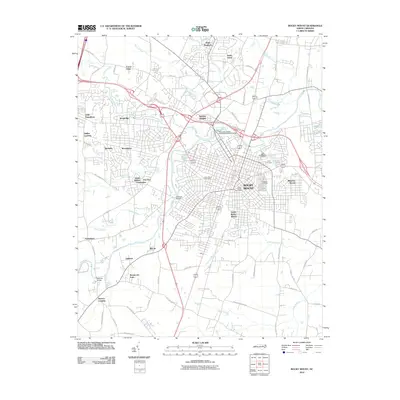 2010 Rocky Mount2010 Print · USGSCovers Dortches, including Rocky Mount, Sharpsburg, and other nearby areas
 - 2010 Map of Red Oak, 2010 Print
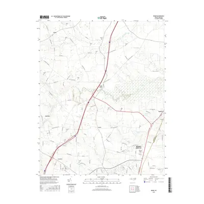
 2010 Red Oak2010 Print · USGSCovers Dortches, including Red Oak, Taylors Store, and other nearby areas
 - 2010 Map of Nashville, 2010 Print
 2010 Nashville2010 Print · USGSCovers Dortches, including Rocky Mount, Nashville, and other nearby areas
 - 2013 Map of Drake, 2013 Print
 2013 Drake2013 Print · USGSCovers Dortches, including Rocky Mount, Red Oak, and other nearby areas
 - 2013 Map of Red Oak, 2013 Print
 2013 Red Oak2013 Print · USGSCovers Dortches, including Red Oak, Taylors Store, and other nearby areas
 - 2013 Map of Nashville, 2013 Print
 2013 Nashville2013 Print · USGSCovers Dortches, including Rocky Mount, Nashville, and other nearby areas
 - 2013 Map of Rocky Mount, 2013 Print
 2013 Rocky Mount2013 Print · USGSCovers Dortches, including Rocky Mount, Sharpsburg, and other nearby areas
 - 2016 Map of Drake, 2016 Print
 2016 Drake2016 Print · USGSCovers Dortches, including Rocky Mount, Red Oak, and other nearby areas
 - 2016 Map of Red Oak, 2016 Print
 2016 Red Oak2016 Print · USGSCovers Dortches, including Red Oak, Taylors Store, and other nearby areas
 - 2016 Map of Nashville, 2016 Print
 2016 Nashville2016 Print · USGSCovers Dortches, including Rocky Mount, Nashville, and other nearby areas
 - 2016 Map of Rocky Mount, 2016 Print
 2016 Rocky Mount2016 Print · USGSCovers Dortches, including Rocky Mount, Sharpsburg, and other nearby areas
Showing maps 1-25 of 33
Top cities near Dortches
- Rocky Mount historical maps
- Wilson historical maps
- Nashville historical maps
- Red Oak historical maps
- Enfield historical maps
- Sharpsburg historical maps
See more
Frequently asked questions
- What are the different types of historical maps available for Dortches?
- What is the oldest map of Dortches?
- Where can I purchase historical maps of Dortches for my home or office?
- Where can I download high-res historical maps of Dortches?
- Are there historical topographic maps available for Dortches?
- Is there historical aerial imagery available for Dortches?
- Where are historical maps of Dortches sourced from?