2000s (21st Century) Maps of Dortches, North Carolina
Explore 20 historic maps of Dortches from the 2000s (21st Century). These maps offer a rare glimpse into what life looked like during the 2000s — showing old roads, neighborhoods, homes, and landmarks that have changed or disappeared over time.
Whether you're researching your family's past, planning a metal detecting trip, or studying how Dortches's landscape evolved across the 2000s, these high-resolution maps are a powerful tool for exploring the history of this region.
- Focus on a specific era: All maps on this page are from the 2000s, giving you a focused view of this time period.
- See what’s changed: Compare century-old streets, trails, and buildings to today's modern landscape using overlays and satellite layers.
- Research with precision: Use these maps for genealogy, historical research, land use analysis, or educational projects.
- View, download, or print: Maps are fully viewable online in high resolution, and can be downloaded or printed for your own records.
Start exploring Dortches's history through authentic maps from the 2000s. This is your window into the past.
Dortches, NC maps
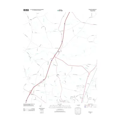
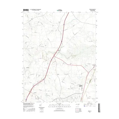
(20)- 2010 Map of Drake, 2010 Print
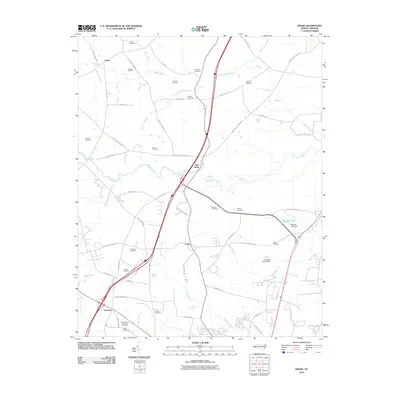 2010 Drake2010 Print · USGSCovers Dortches, including Rocky Mount, Red Oak, and other nearby areas
 - 2010 Map of Rocky Mount, 2010 Print
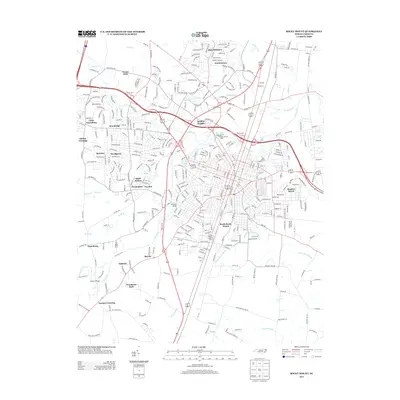
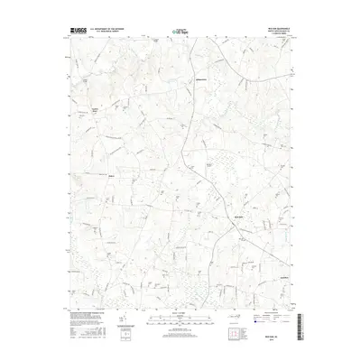
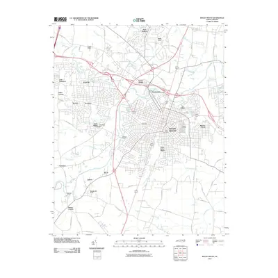 2010 Rocky Mount2010 Print · USGSCovers Dortches, including Rocky Mount, Sharpsburg, and other nearby areas
 - 2010 Map of Red Oak, 2010 Print
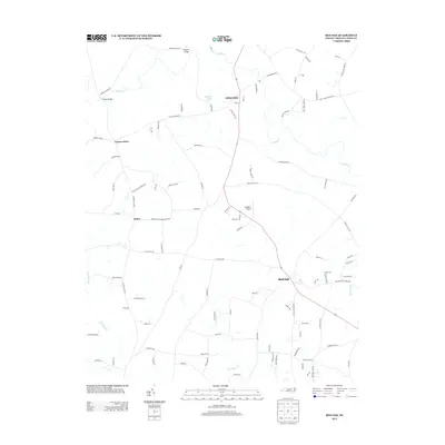
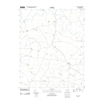 2010 Red Oak2010 Print · USGSCovers Dortches, including Red Oak, Taylors Store, and other nearby areas
 - 2010 Map of Nashville, 2010 Print
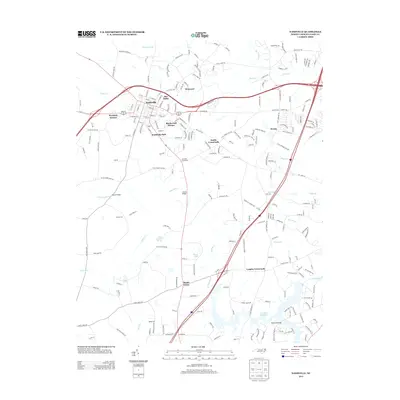
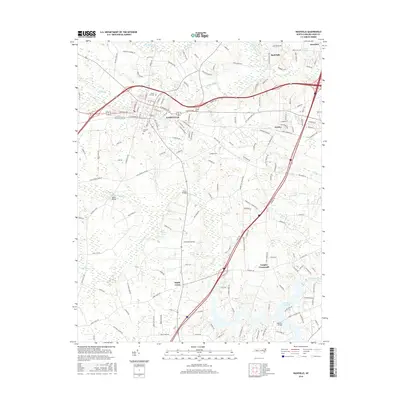
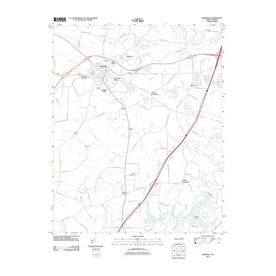 2010 Nashville2010 Print · USGSCovers Dortches, including Rocky Mount, Nashville, and other nearby areas
 - 2013 Map of Drake, 2013 Print
 2013 Drake2013 Print · USGSCovers Dortches, including Rocky Mount, Red Oak, and other nearby areas
 - 2013 Map of Red Oak, 2013 Print
 2013 Red Oak2013 Print · USGSCovers Dortches, including Red Oak, Taylors Store, and other nearby areas
 - 2013 Map of Nashville, 2013 Print
 2013 Nashville2013 Print · USGSCovers Dortches, including Rocky Mount, Nashville, and other nearby areas
 - 2013 Map of Rocky Mount, 2013 Print
 2013 Rocky Mount2013 Print · USGSCovers Dortches, including Rocky Mount, Sharpsburg, and other nearby areas
 - 2016 Map of Drake, 2016 Print
 2016 Drake2016 Print · USGSCovers Dortches, including Rocky Mount, Red Oak, and other nearby areas
 - 2016 Map of Red Oak, 2016 Print
 2016 Red Oak2016 Print · USGSCovers Dortches, including Red Oak, Taylors Store, and other nearby areas
 - 2016 Map of Nashville, 2016 Print
 2016 Nashville2016 Print · USGSCovers Dortches, including Rocky Mount, Nashville, and other nearby areas
 - 2016 Map of Rocky Mount, 2016 Print
 2016 Rocky Mount2016 Print · USGSCovers Dortches, including Rocky Mount, Sharpsburg, and other nearby areas
 - 2019 Map of Rocky Mount, 2019 Print
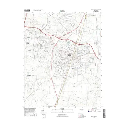
 2019 Rocky Mount2019 Print · USGSCovers Dortches, including Rocky Mount, Sharpsburg, and other nearby areas
 - 2019 Map of Nashville, 2019 Print
 2019 Nashville2019 Print · USGSCovers Dortches, including Rocky Mount, Nashville, and other nearby areas
 - 2019 Map of Drake, 2019 Print
 2019 Drake2019 Print · USGSCovers Dortches, including Rocky Mount, Red Oak, and other nearby areas
 - 2019 Map of Red Oak, 2019 Print
 2019 Red Oak2019 Print · USGSCovers Dortches, including Red Oak, Taylors Store, and other nearby areas
 - 2022 Map of Red Oak, 2022 Print
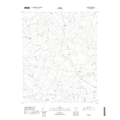
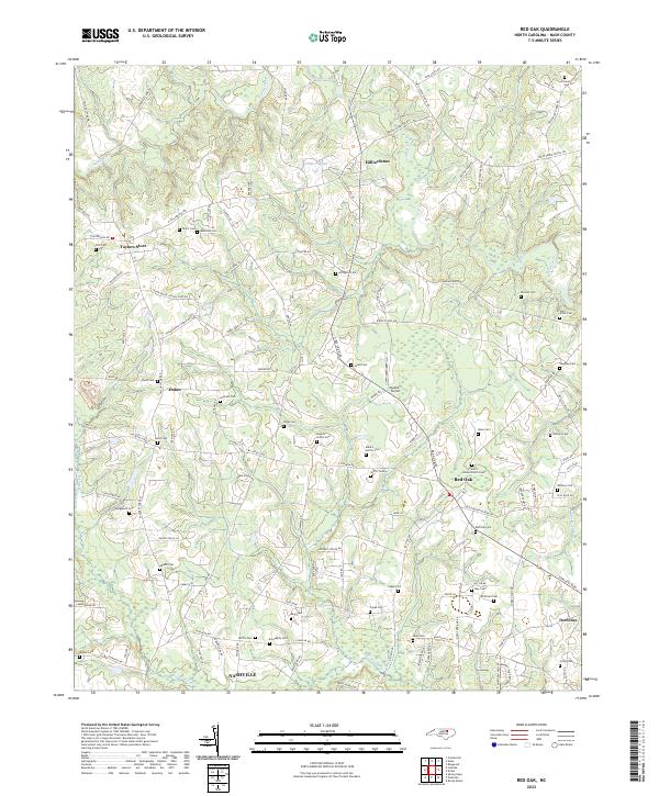 2022 Red Oak2022 Print · USGSNash County at the turn of the 2020s remains a landscape of historic crossroads and family homesteads. Researchers can trace ancestral locations through dozens of family-named sites like Boseman Cem, Arrington Cem, and the community of Taylors Store.
 - 2022 Map of Drake, 2022 Print
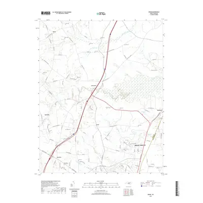
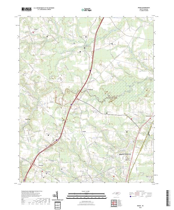 2022 Drake2022 Print · USGSNash County at the start of the 2020s shows a landscape of deep-rooted rural crossroads and modern expansion. Researchers can trace family history through numerous remote burial sites like Shiloh Missionary Baptist Church Cem or explore the watercourses of Swift Creek and Beaverdam Swamp.
 - 2022 Map of Nashville, 2022 Print
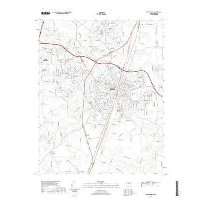
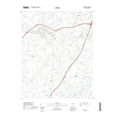
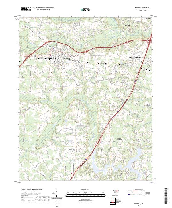 2022 Nashville2022 Print · USGSNashville and the surrounding Nash County countryside are documented in this recent survey during a period of steady growth. Researchers can locate family landmarks like Forest Hill Cem and the Nash County Courthouse or trace the waters of the Tar River Reservoir.
 - 2022 Map of Rocky Mount, 2022 Print
 2022 Rocky Mount2022 Print · USGSRocky Mount and its surrounding Nash and Edgecombe county communities are shown in this recent survey during a period of significant regional connectivity. Researchers can trace the layout of contemporary neighborhoods and landmarks like Edgecombe Community College, Pineview Cemetery, and the historic banks of the Tar River.
End of results
Showing maps 1-20 of 20
Top cities near Dortches
- Rocky Mount historical maps
- Wilson historical maps
- Nashville historical maps
- Red Oak historical maps
- Enfield historical maps
- Sharpsburg historical maps
See more
Frequently asked questions
- What are the different types of historical maps available for Dortches?
- What is the oldest map of Dortches?
- Where can I purchase historical maps of Dortches for my home or office?
- Where can I download high-res historical maps of Dortches?
- Are there historical topographic maps available for Dortches?
- Is there historical aerial imagery available for Dortches?
- Where are historical maps of Dortches sourced from?