2000s (21st Century) Maps of Onslow County, North Carolina
Explore 120 historic maps of Onslow County from the 2000s (21st Century). These maps offer a rare glimpse into what life looked like during the 2000s — showing old roads, neighborhoods, homes, and landmarks that have changed or disappeared over time.
Whether you're researching your family's past, planning a metal detecting trip, or studying how Onslow County's landscape evolved across the 2000s, these high-resolution maps are a powerful tool for exploring the history of this region.
- Focus on a specific era: All maps on this page are from the 2000s, giving you a focused view of this time period.
- See what’s changed: Compare century-old streets, trails, and buildings to today's modern landscape using overlays and satellite layers.
- Research with precision: Use these maps for genealogy, historical research, land use analysis, or educational projects.
- View, download, or print: Maps are fully viewable online in high resolution, and can be downloaded or printed for your own records.
Start exploring Onslow County's history through authentic maps from the 2000s. This is your window into the past.
Onslow County, NC maps
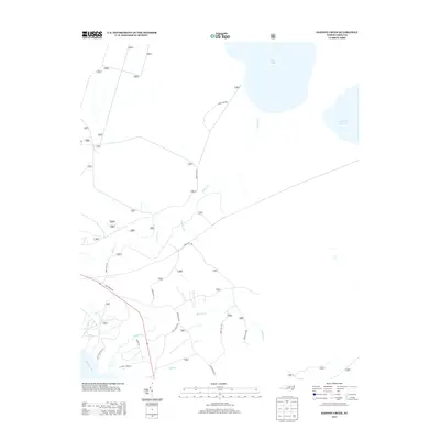
(120)- 2010 Map of Richlands, 2010 Print
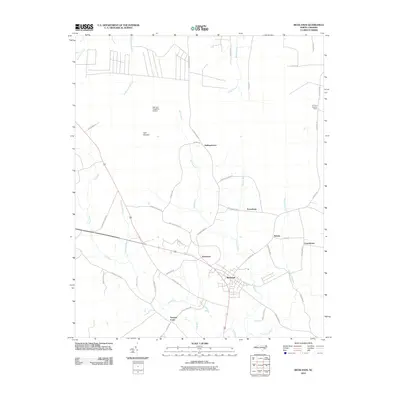 2010 Richlands2010 Print · USGSCovers Onslow County, including Richlands, Ervintown, and other nearby areas
 - 2010 Map of New River Inlet, 2010 Print
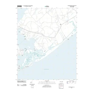 2010 New River Inlet2010 Print · USGSCovers Onslow County, including North Topsail Beach, Peru, and other nearby areas
 - 2010 Map of Jacksonville South, 2010 Print
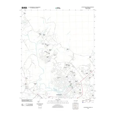
 2010 Jacksonville South2010 Print · USGSCovers Onslow County, including Jacksonville, Paradise Park, and other nearby areas
 - 2010 Map of Folkstone, 2010 Print
 2010 Folkstone2010 Print · USGSCovers Onslow County, including Holly Ridge, Folkstone, and other nearby areas
 - 2010 Map of Jacksonville North, 2010 Print
 2010 Jacksonville North2010 Print · USGSCovers Onslow County, including Jacksonville, Half Moon, and other nearby areas
 - 2010 Map of Kellum, 2010 Print
 2010 Kellum2010 Print · USGSCovers Onslow County, including Jacksonville, Pumpkin Center, and other nearby areas
 - 2010 Map of Catherine Lake, 2010 Print
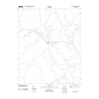 2010 Catherine Lake2010 Print · USGSCovers Onslow County, including Floyd Pond, Catherine Lake, and other nearby areas
 - 2010 Map of Lyman, 2010 Print
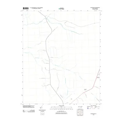
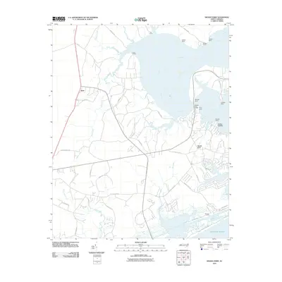
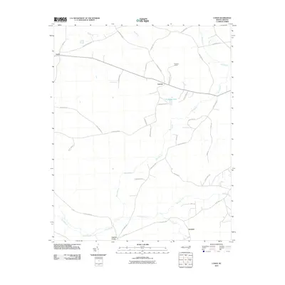 2010 Lyman2010 Print · USGSCovers Onslow County, including Cypress Creek, Fountaintown, and other nearby areas
 - 2010 Map of Potters Hill, 2010 Print
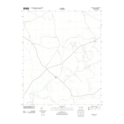
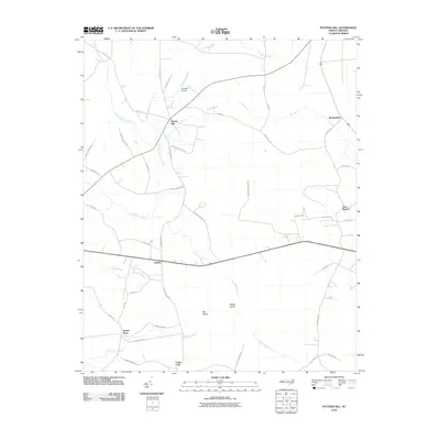 2010 Potters Hill2010 Print · USGSCovers Onslow County, including Haw Branch, Quinns Store, and other nearby areas
 - 2010 Map of Camp Lejeune, 2010 Print
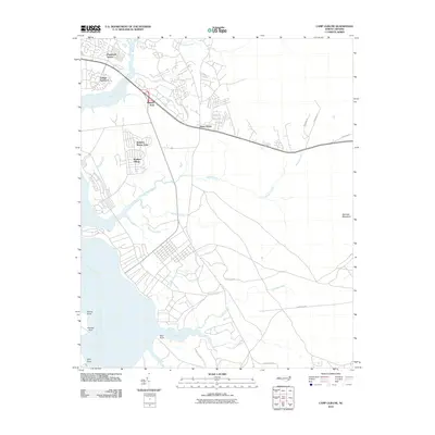 2010 Camp Lejeune2010 Print · USGSCovers Onslow County, including Jacksonville, Piney Green, and other nearby areas
 - 2010 Map of Holly Ridge, 2010 Print
 2010 Holly Ridge2010 Print · USGSCovers Onslow County, including Surf City, Holly Ridge, and other nearby areas
 - 2010 Map of Jacksonville NW, 2010 Print
 2010 Jacksonville NW2010 Print · USGSCovers Onslow County, including Jones County, United States, and other nearby areas
 - 2010 Map of Sneads Ferry, 2010 Print
 2010 Sneads Ferry2010 Print · USGSCovers Onslow County, including Sneads Ferry, Holly Ridge, and other nearby areas
 - 2010 Map of Maple Hill SW, 2010 Print
 2010 Maple Hill SW2010 Print · USGSCovers Onslow County, including Pender County, United States, and other nearby areas
 - 2010 Map of Jacksonville NE, 2010 Print
 2010 Jacksonville NE2010 Print · USGSCovers Onslow County, including Jones County, United States, and other nearby areas
 - 2010 Map of Maple Hill, 2010 Print
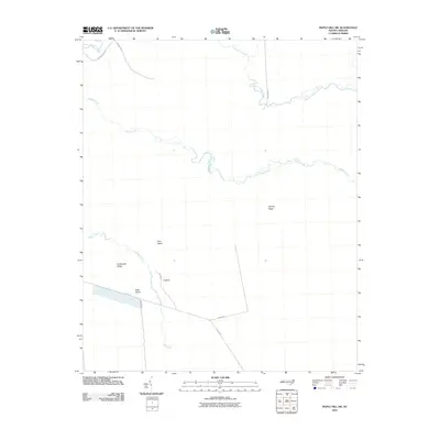
 2010 Maple Hill2010 Print · USGSCovers Onslow County, including Maple Hill, Angola, and other nearby areas
 - 2010 Map of Hubert, 2010 Print
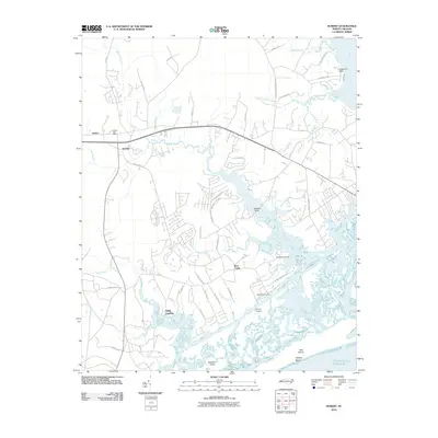 2010 Hubert2010 Print · USGSCovers Onslow County, including Swansboro, Marine Corps Base Camp Lejeune, and other nearby areas
 - 2010 Map of Spicer Bay, 2010 Print
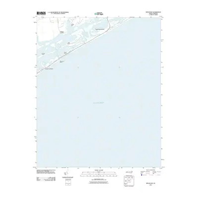 2010 Spicer Bay2010 Print · USGSCovers Onslow County, including Holly Ridge, North Topsail Beach, and other nearby areas
 - 2010 Map of Browns Inlet, 2010 Print
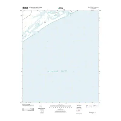 2010 Browns Inlet2010 Print · USGSCovers Onslow County, including Marine Corps Base Camp Lejeune, United States, and other nearby areas
 - 2011 Map of Haws Run, 2011 Print
 2011 Haws Run2011 Print · USGSCovers Onslow County, including Southwest, Marine Corps Base Camp Lejeune, and other nearby areas
 - 2011 Map of Stella, 2011 Print
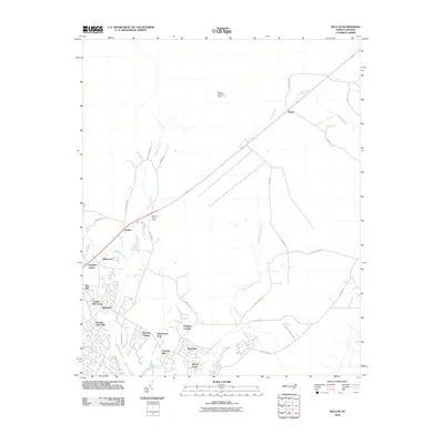
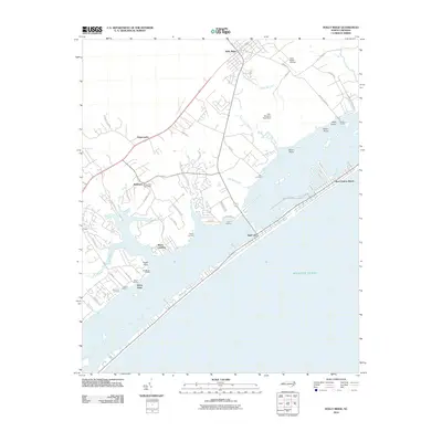
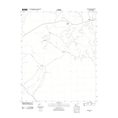
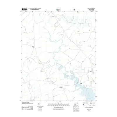 2011 Stella2011 Print · USGSCovers Onslow County, including Silverdale, Stella, and other nearby areas
 - 2011 Map of Maysville, 2011 Print
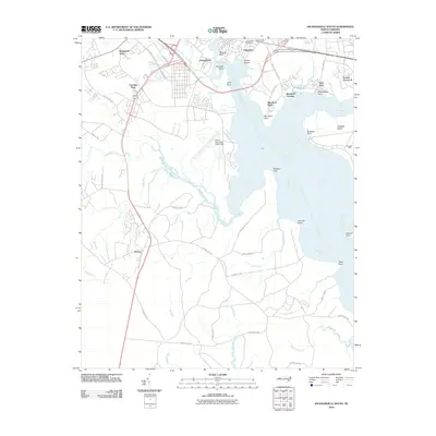
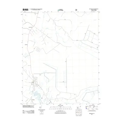 2011 Maysville2011 Print · USGSCovers Onslow County, including Maysville, Chadwick, and other nearby areas
 - 2011 Map of Hadnot Creek, 2011 Print
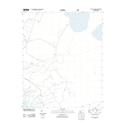 2011 Hadnot Creek2011 Print · USGSCovers Onslow County, including Craven County, Carteret County, and other nearby areas
 - 2011 Map of Swansboro, 2011 Print
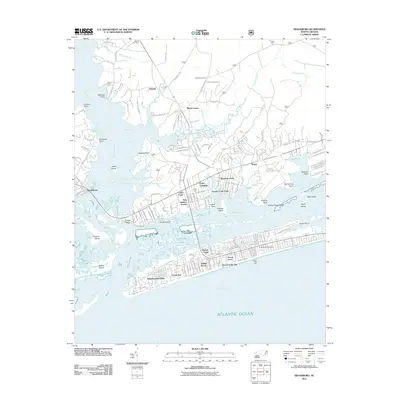 2011 Swansboro2011 Print · USGSCovers Onslow County, including Emerald Isle, Swansboro, and other nearby areas
 - 2013 Map of Hadnot Creek, 2013 Print
 2013 Hadnot Creek2013 Print · USGSCovers Onslow County, including Craven County, Carteret County, and other nearby areas
Showing maps 1-25 of 120
Top cities of Onslow County
- Jacksonville historical maps
- Half Moon historical maps
- Swansboro historical maps
- Sneads Ferry historical maps
- Richlands historical maps
- Holly Ridge historical maps
See more
Frequently asked questions
- What are the different types of historical maps available for Onslow County?
- What is the oldest map of Onslow County?
- Where can I purchase historical maps of Onslow County for my home or office?
- Where can I download high-res historical maps of Onslow County?
- Are there historical topographic maps available for Onslow County?
- Is there historical aerial imagery available for Onslow County?
- Where are historical maps of Onslow County sourced from?