1980s Maps of Pitt County, North Carolina
Explore 20 historic maps of Pitt County from the 1980s. These maps offer a rare glimpse into what life looked like during the 1980s — showing old roads, neighborhoods, homes, and landmarks that have changed or disappeared over time.
Whether you're researching your family's past, planning a metal detecting trip, or studying how Pitt County's landscape evolved across the 1980s, these high-resolution maps are a powerful tool for exploring the history of this region.
- Focus on a specific era: All maps on this page are from the 1980s, giving you a focused view of this time period.
- See what’s changed: Compare century-old streets, trails, and buildings to today's modern landscape using overlays and satellite layers.
- Research with precision: Use these maps for genealogy, historical research, land use analysis, or educational projects.
- View, download, or print: Maps are fully viewable online in high resolution, and can be downloaded or printed for your own records.
Start exploring Pitt County's history through authentic maps from the 1980s. This is your window into the past.
Pitt County, NC maps
(20)- 1980 Map of Falkland, 1981 Print
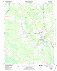
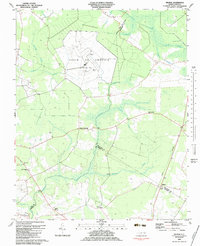
 1980 Falkland1981 Print · USGSPitt County's rural landscape is captured here in the late seventies, centered on the river-bend settlement of Falkland. Researchers can trace old family sites and community centers like Sharp Point, Dupree Landing, and Kings Crossroads.2 unique versions available
 - 1981 Map of Robersonsville West
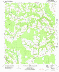
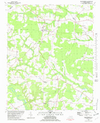
 1981 Robersonsville West1981 Print · USGSCoastal plain settlements and railroad junctions define this 1980s landscape across the Pitt and Martin county lines. Genealogists and historians can trace family roots through numerous unnamed cemeteries and community hubs like Parmele, Hickory Grove Ch, and the Seaboard Coast Line tracks.
 - 1981 Map of Farmville
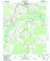
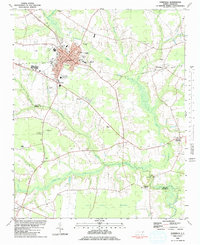 1981 Farmville1981 Print · USGSCoastal plain settlements and wetlands converge in this early 1980s survey of Pitt and Greene counties. Researchers can locate numerous rural landmarks, from the Norfolk Southern rail line to secluded sites like Moyes Chapel and Half Moon Pocosin.
 - 1981 Map of Conetoe
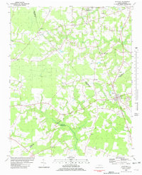
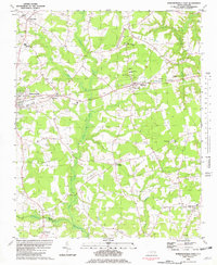
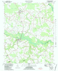
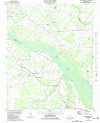
 1981 Conetoe1981 Print · USGSCoastal plain settlements and expansive wetlands define this region in the early eighties. Genealogists and local historians can trace family-named crossroads like Mayos Crossroads, find country sites like Johnson Ch, and follow the Seaboard Coast Line through Conetoe.
 - 1981 Map of Fountain, 1982 Print
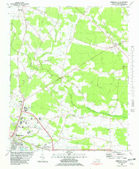
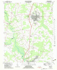
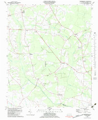
 1981 Fountain1982 Print · USGSCoastal plain agriculture and small-town life in the early eighties center on the rural crossroads of Pitt and Edgecombe counties. Trace the roots of local communities at Piney Grove Sch, an Old Railroad Grade, and Webbtown Ch.
 - 1981 Map of Walstonburg, 1982 Print
 1981 Walstonburg1982 Print · USGSGreene County agriculture and community life are captured in detail here during the early eighties. Genealogists and historians can trace family roots through numerous rural landmarks like Speights Bridge, North Greene Sch, and Meadow Ch.
 - 1981 Map of Robersonsville East, 1982 Print
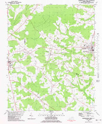
 1981 Robersonsville East1982 Print · USGSThe rural landscape of Martin County is captured here in the early eighties, showcasing the rail-reliant towns of Robersonville and Everetts. Local researchers can trace family roots through numerous sites like Martin Academy, Willow Chapel, and Bear Grass.
 - 1981 Map of Greenville SW, 1982 Print
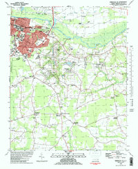
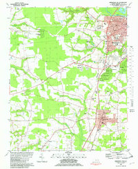 1981 Greenville SW1982 Print · USGSPitt County south of the Tar River was entering a period of suburban growth in the early eighties. Genealogists and local historians can locate early schools and churches including St Gabriel Sch, Robinson Sch, and Reedy Branch Ch.2 unique versions available
 - 1981 Map of Greenville NE, 1982 Print
 1981 Greenville NE1982 Print · USGSPitt County's agricultural landscape and rural church communities are captured here in the early eighties. Genealogists and local historians can trace family landmarks and rural centers like Stokes, Sycamore Chapel, and the North Pitt High Sch.
 - 1982 Map of Greenville SE
 1982 Greenville SE1982 Print · USGSThe southeastern expansion of the Greenville area is captured here in the early eighties, showcasing the city's growth alongside the Tar River. Genealogists can trace family names at Worthingtons Crossroads or find legacy sites like Old Simpson Cem and Red Banks Ch.
 - 1982 Map of Greenville NW
 1982 Greenville NW1982 Print · USGSPitt County's rural landscape is captured in the early 1980s, showing the reach of the Tar River and the sprawling Grindle Pocosin. Genealogists can trace family landmarks like Flemings Chapel, Belvoir Sch, and the unique Voice of America station.
 - 1982 Map of Hookerton, 1983 Print
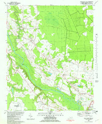
 1982 Hookerton1983 Print · USGSCoastal plain life in the early eighties centered around the meandering Contentnea Creek and its surrounding pocosin wetlands. Genealogists and local historians can trace family locations near Hookerton, Maury, and numerous rural landmarks like Saints Delight Ch and East Greene Sch.
 - 1982 Map of Ayden, 1983 Print
 1982 Ayden1983 Print · USGSNorth Carolina's eastern coastal plain is captured here in the early eighties as the Seaboard Coast Line linked thriving rail towns. Genealogists and local historians can trace family roots through numerous country landmarks like Jackson Cem, Little Cr Ch, and the settlement of Hanrahan.
 - 1983 Map of Vanceboro
 1983 Vanceboro1983 Print · USGSCoastal plain settlements and expansive wetlands define this Craven County landscape in the early eighties. Genealogists and historians can trace local landmarks like Farm Life Sch, Juniper Chapel, and the riverside site of Lane Landing.
 - 1983 Map of Grifton
 1983 Grifton1983 Print · USGSThe river-driven landscape of eastern North Carolina is captured here in the early 1980s as it spans three county lines. Genealogists can trace family roots through numerous rural landmarks like Alum Springs Ch, British Chapel, and the settlement of Tick Bite.
 - 1983 Map of Fort Barnwell
 1983 Fort Barnwell1983 Print · USGSCoastal North Carolina river life is captured here in the early eighties, centered on the Neuse River corridor. Researchers can trace family ties through numerous rural landings and landmarks like Fort Barnwell, Maplecypress, and Mt Zion Ch.
 - 1983 Map of Gardnerville
 1983 Gardnerville1983 Print · USGSCoastal plain crossroads and family cemeteries define this rural North Carolina landscape in the early eighties. Genealogists and local historians can trace legacy sites like Haddocks Crossroads, Chicod Sch, and the unique Landing Strip near the center of the sheet.
 - 1983 Map of Wilmar
 1983 Wilmar1983 Print · USGSThe Pitt and Beaufort county lines meet in the early eighties at the massive Voice of America (Site B) radio facility. Genealogists and historians can trace local landmarks like Elmira Crossroads and Oak Grove Ch.
 - 1985 Map of Rocky Mount
 1985 Rocky Mount1985 Print · USGSThe eastern North Carolina coastal plain in the mid-eighties shows a landscape defined by its river-and-rail heritage. Genealogists and local historians can trace the development of Rocky Mount, Greenville, and Wilson, or locate landmarks like East Carolina University and the Voice of America site.2 unique versions available
 - 1985 Map of Kinston
 1985 Kinston1985 Print · USGSCoastal plain life and Cold War infrastructure meet in the mid-eighties as the Neuse River winds through agricultural heartlands. Researchers can locate family landmarks like Falling Creek Cem, old milling sites such as Tulls Mill, and the massive Voice of America Radio Towers.2 unique versions available
End of results
Showing maps 1-20 of 20
Top cities of Pitt County
- Greenville historical maps
- Ayden historical maps
- Winterville historical maps
- Farmville historical maps
- Bethel historical maps
- Fountain historical maps
See more
Frequently asked questions
- What are the different types of historical maps available for Pitt County?
- What is the oldest map of Pitt County?
- Where can I purchase historical maps of Pitt County for my home or office?
- Where can I download high-res historical maps of Pitt County?
- Are there historical topographic maps available for Pitt County?
- Is there historical aerial imagery available for Pitt County?
- Where are historical maps of Pitt County sourced from?