2010s Maps of Pitt County, North Carolina
Explore 88 historic maps of Pitt County from the 2010s. These maps offer a rare glimpse into what life looked like during the 2010s — showing old roads, neighborhoods, homes, and landmarks that have changed or disappeared over time.
Whether you're researching your family's past, planning a metal detecting trip, or studying how Pitt County's landscape evolved across the 2010s, these high-resolution maps are a powerful tool for exploring the history of this region.
- Focus on a specific era: All maps on this page are from the 2010s, giving you a focused view of this time period.
- See what’s changed: Compare century-old streets, trails, and buildings to today's modern landscape using overlays and satellite layers.
- Research with precision: Use these maps for genealogy, historical research, land use analysis, or educational projects.
- View, download, or print: Maps are fully viewable online in high resolution, and can be downloaded or printed for your own records.
Start exploring Pitt County's history through authentic maps from the 2010s. This is your window into the past.
Pitt County, NC maps
(88)- 2010 Map of Farmville, 2010 Print
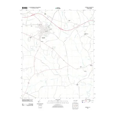 2010 Farmville2010 Print · USGSCoastal plain agriculture and modern community growth meet in Pitt County during the early twenty-first century. Researchers can trace local lineage and landmarks through Forest Hills Cemetery, the Bellarthur Post Office, and the crossroads at Lizzie.
 - 2010 Map of Walstonburg, 2010 Print
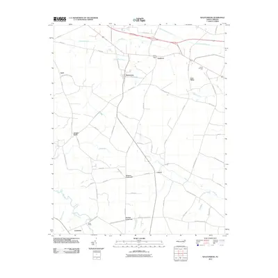 2010 Walstonburg2010 Print · USGSThe coastal plains of North Carolina are detailed here in the early twenty-first century, showing a landscape defined by wetlands and crossroads. Researchers can trace rural lineages through local landmarks like Speights Bridge, Castoria, and the community of Appie.
 - 2010 Map of Falkland, 2010 Print
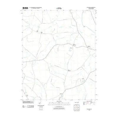 2010 Falkland2010 Print · USGSThe rural landscapes of Pitt County are documented here in the early 2000s, centered on the community of Falkland. Researchers can trace local landmarks and crossroads like Dupree Crossroads, Cobb Town, and the historic Dupree Landing along the Tar River.
 - 2010 Map of Ayden, 2010 Print
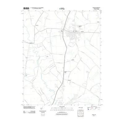 2010 Ayden2010 Print · USGSCoastal plain agriculture and modern community growth intersect in Pitt County during the early twenty-first century. Genealogists and local researchers can pinpoint family landmarks including Artis Cemetery, the rural crossroads of Scuffleton, and the winding banks of Contentnea Creek.
 - 2010 Map of Hookerton, 2010 Print
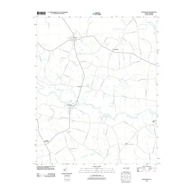 2010 Hookerton2010 Print · USGSHookerton and the surrounding Greene County farmlands are captured in the early twenty-first century as a landscape shaped by creek-side settlement and rural crossroads. Genealogists can trace family-named routes like Hooker Farm Rd and J Kenneth Hall Rd near Hugo and Maury.
 - 2010 Map of Gardnerville, 2010 Print
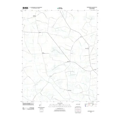 2010 Gardnerville2010 Print · USGSPitt County's rural communities and swamp networks are mapped in detail during the early 2000s. Researchers can locate family-named landmarks and historical junctions like Haddocks Crossroads, Gardnerville, and the banks of Swift Creek.
 - 2010 Map of Washington, 2010 Print
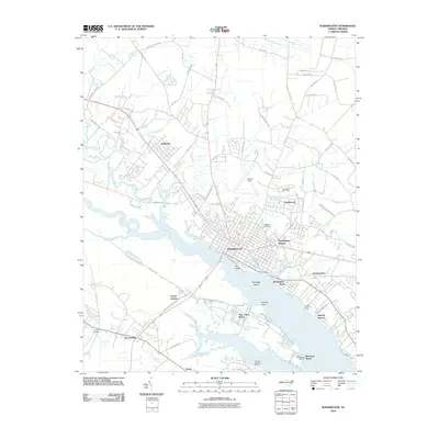 2010 Washington2010 Print · USGSCoastal North Carolina's riverfront heritage is on full display here in the early twenty-first century as the Pamlico and Tar Rivers meet. Local researchers can trace family landmarks at Oakdale Cemetery, identify the layout of Chocowinity, or locate Warren Field.
 - 2010 Map of Old Sparta, 2010 Print
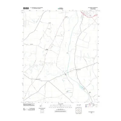 2010 Old Sparta2010 Print · USGSEdgecombe County at the start of the 2010s remains a landscape of traditional crossroads and river landings. Genealogists and researchers can trace family lands near Old Sparta or locate historic rural centers like Henrietta and Penny Hill.
 - 2010 Map of Greenville SE, 2010 Print
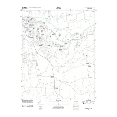 2010 Greenville SE2010 Print · USGSGreenville and its eastern suburbs are shown in detail during a period of significant growth south of the Tar River. Local historians can trace the development of the University campus and find landmarks like the Pitt County Poor Farm and Old Simpson Cemetery.
 - 2010 Map of Conetoe, 2010 Print
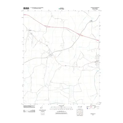 2010 Conetoe2010 Print · USGSThe coastal plains near Conetoe and Bethel are shown in this modern survey during a period of agricultural persistence. Researchers can locate specific family-named landmarks and rural settlements like Mildred, Dogtown, and Mayos Crossroads.
 - 2010 Map of Robersonville East, 2010 Print
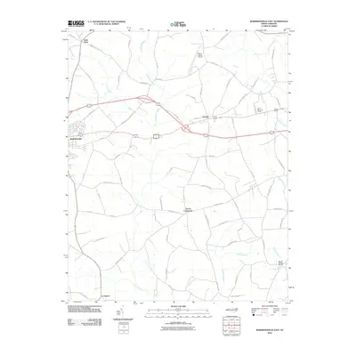 2010 Robersonville East2010 Print · USGSThe eastern reaches of Martin County are shown here in the early twenty-first century as a landscape of rural crossroads and extensive coastal swamps. Researchers can trace local history through settlements like Gold Point, Everetts, and the aptly named Church Crossroads.
 - 2010 Map of Grifton, 2010 Print
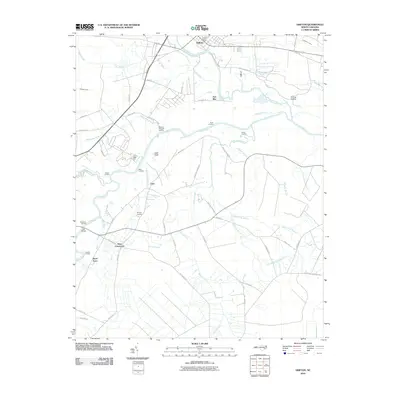 2010 Grifton2010 Print · USGSCoastal plain settlements and river landings define this North Carolina landscape at the start of the decade. Genealogists and local historians can trace family-named sites and rural crossroads like Tick Bite, Jollys Old Field Landing, and West Crossroads.
 - 2010 Map of Fountain, 2010 Print
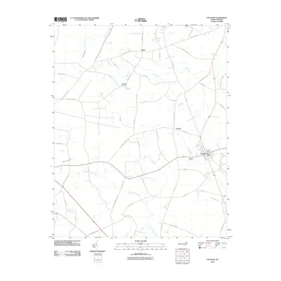 2010 Fountain2010 Print · USGSPitt County's rural landscape is captured here in the years following the millennium, centered on the community of Fountain. Researchers can trace local landmarks like Memorial Cemetery and the post office, alongside smaller settlements such as Reba and Toddy.
 - 2010 Map of Greenville SW, 2010 Print
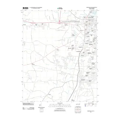 2010 Greenville SW2010 Print · USGSGreenville is shown during a period of rapid suburban growth in the early 2000s, where traditional farmsteads meet expanding medical and university campuses. Researchers can trace the development of numerous local subdivisions alongside older landmarks like Glenwood Cemetery and Tucker Farms.
 - 2010 Map of Robersonville West, 2010 Print
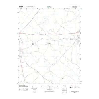 2010 Robersonville West2010 Print · USGSCoastal plain settlements like Parmele and Whitehurst are documented here during a period of modern agricultural stability. Researchers can trace local heritage through landmarks like Flat Swamp Church Rd and the drainage of Briery Swamp.
 - 2010 Map of Wilmar, 2010 Print
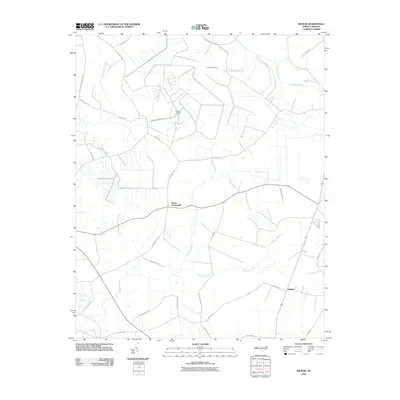 2010 Wilmar2010 Print · USGSThe rural landscape of Beaufort County is captured here in the early twenty-first century, defined by its extensive swamp systems. Genealogists and historians can trace local family landmarks and roads like Elmira Crossroads, Voice of America, and Sis Mills Rd.
 - 2010 Map of Leggetts Crossroads, 2010 Print
 2010 Leggetts Crossroads2010 Print · USGSCoastal plain settlements and broadcasting history intersect in this 2010 survey of the Beaufort County area. Genealogists can trace family-named routes like Tucker Bullock Rd and Coy Forbes Rd near the Voice of America site.
 - 2010 Map of Vanceboro, 2010 Print
 2010 Vanceboro2010 Print · USGSCoastal plain settlements and river landings define this part of Craven County in the early twenty-first century. Genealogists and local historians can trace family-named sites like Ipock Landing and Wilkes Landing or locate Celestial Memorial Gardens near the banks of Swift Creek.
 - 2010 Map of Greenville NW, 2010 Print
 2010 Greenville NW2010 Print · USGSThe rural Pitt County landscape north of Greenville appears in this 2010 study, showing a network of river landings and small crossroads. Researchers can trace family history through sites like Bells Crossroads and Belvoir, or locate old river crossings such as Browns Old Ferry.
 - 2010 Map of Fort Barnwell, 2010 Print
 2010 Fort Barnwell2010 Print · USGSThe Neuse River lowlands of eastern North Carolina come into focus during this modern era of rural survey. Genealogists and local historians can trace the riverside landings and family roads from Fort Barnwell to the small communities of Maplecypress and Honolulu.
 - 2010 Map of Grimesland, 2010 Print
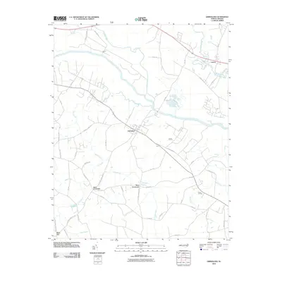 2010 Grimesland2010 Print · USGSGrimesland and the surrounding Pitt County countryside are shown here in the early twenty-first century, anchored by the winding Tar River. Researchers can locate family landmarks at the Grimes Cemetery or trace old crossroads like Hams Crossroads and Boyd Crossroads.
 - 2010 Map of Greenville NE, 2010 Print
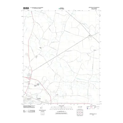 2010 Greenville NE2010 Print · USGSPitt County's rural landscape is captured here in the early twenty-first century as agricultural traditions met modern expansion. Genealogists can trace family footprints through names like Minnie Bert and Staton, or locate the old Atwood Post Office.
 - 2013 Map of Farmville, 2013 Print
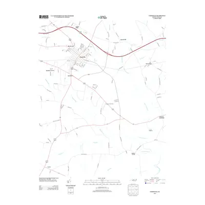 2013 Farmville2013 Print · USGSFarmville and the surrounding Pitt County countryside are captured here in the early twenty-first century as suburban growth expanded near Little Contentnea Cr. Researchers can trace the development of neighborhoods like Birchwood or locate outlying communities such as Bell Arthur and Lizzie.
 - 2013 Map of Falkland, 2013 Print
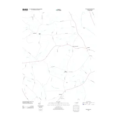 2013 Falkland2013 Print · USGSEastern North Carolina farming communities and river landings thrive along the Tar River in the early twenty-first century. Genealogists can trace family footprints through locations like Kings Crossroads, Cobb Town, and Dupree Landing.
 - 2013 Map of Leggetts Crossroads, 2013 Print
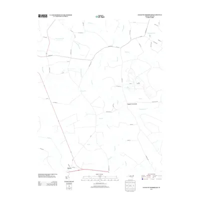 2013 Leggetts Crossroads2013 Print · USGSCoastal plain wetlands and rural crossroads define this Beaufort County landscape in the early twenty-first century. Researchers can trace land tracts near Leggetts Crossroads or the large Voice of America facility, alongside tributaries like Tranters Cr and Horsepen Swamp.
Showing maps 1-25 of 88
Top cities of Pitt County
- Greenville historical maps
- Ayden historical maps
- Winterville historical maps
- Farmville historical maps
- Bethel historical maps
- Fountain historical maps
See more
Frequently asked questions
- What are the different types of historical maps available for Pitt County?
- What is the oldest map of Pitt County?
- Where can I purchase historical maps of Pitt County for my home or office?
- Where can I download high-res historical maps of Pitt County?
- Are there historical topographic maps available for Pitt County?
- Is there historical aerial imagery available for Pitt County?
- Where are historical maps of Pitt County sourced from?